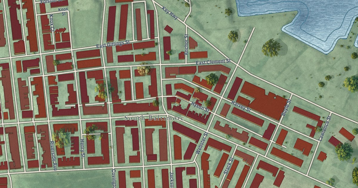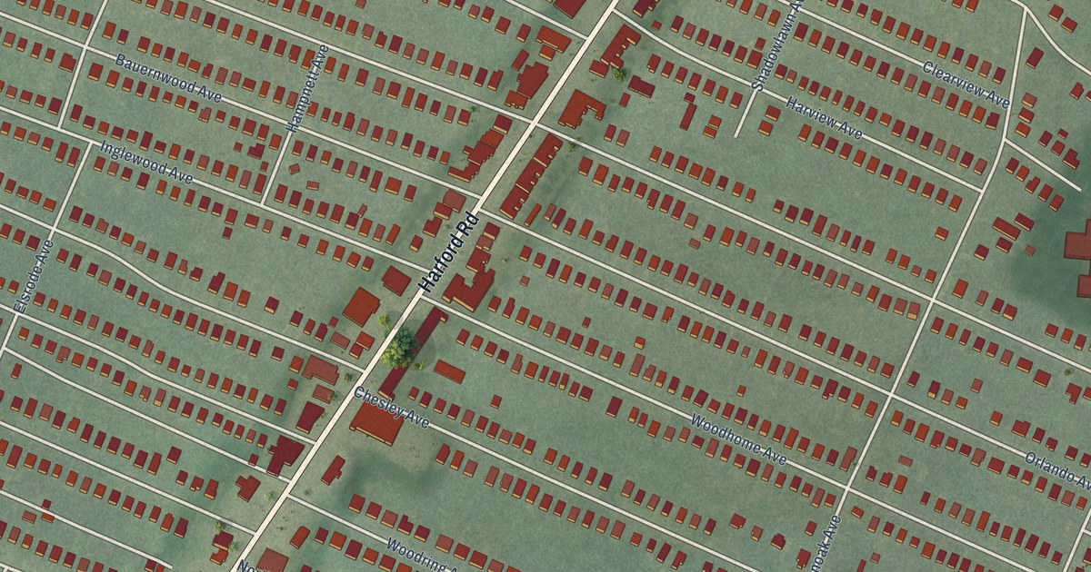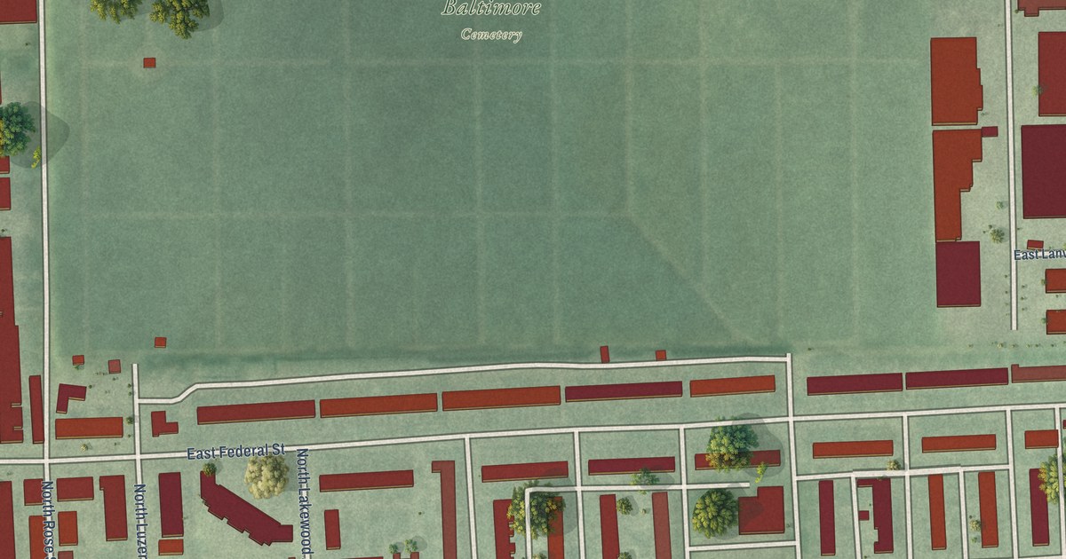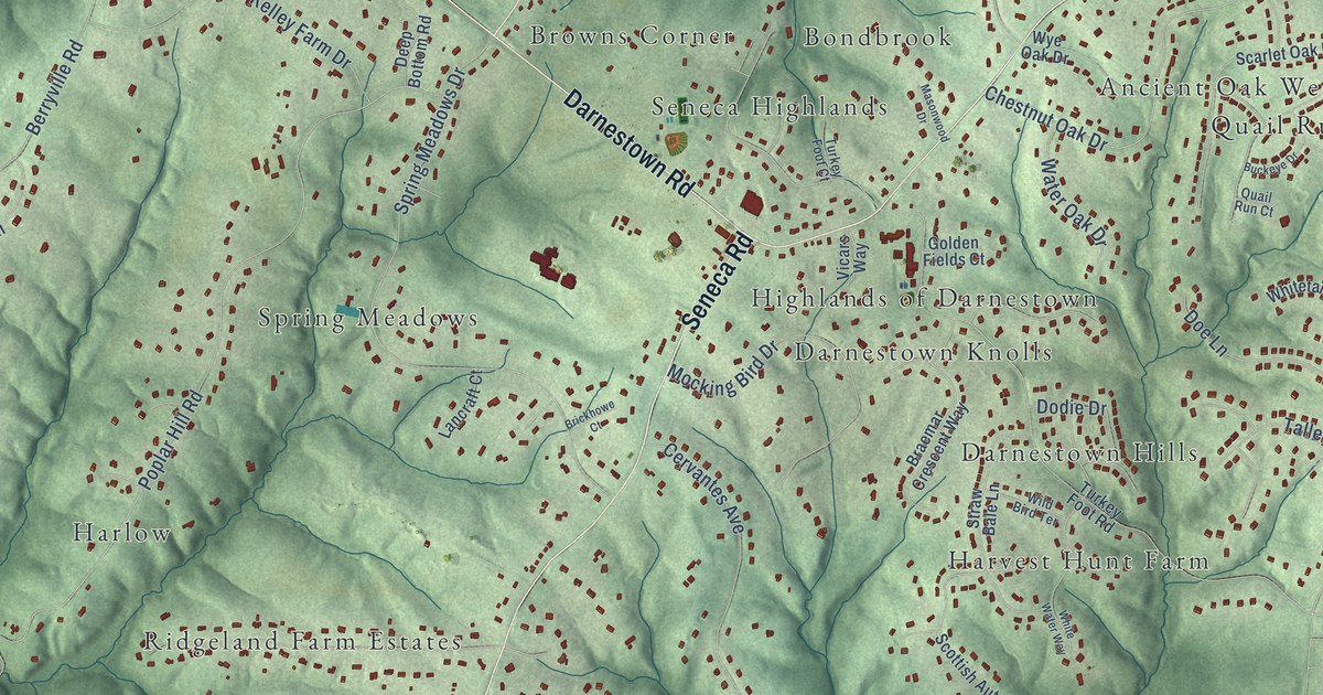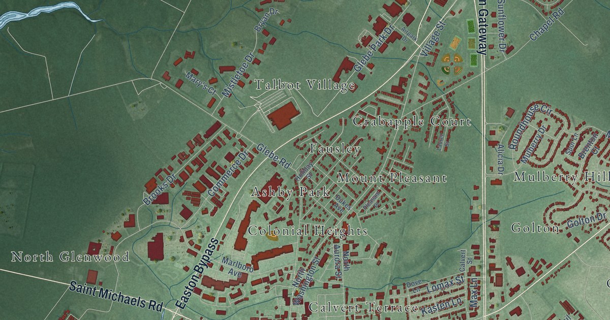
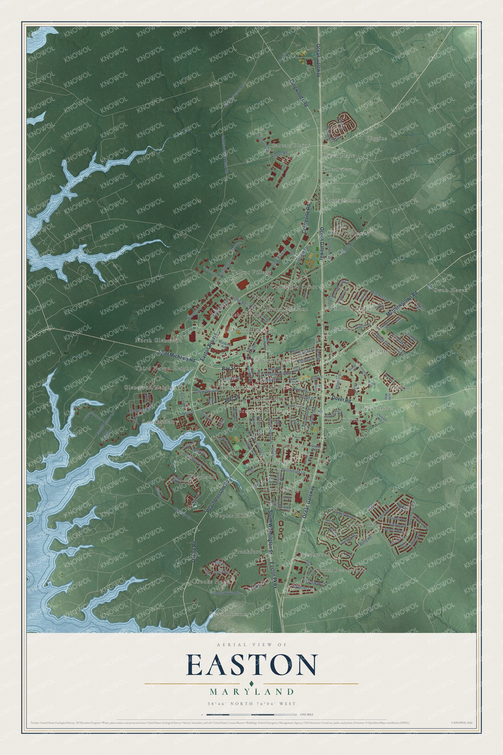
This beautifully detailed map of Easton, Maryland was created in 2026 using aerial imagery combined with modern topographical, census, street and landmark data. It's a modern aerial view of Easton in Talbot County, Maryland, that combines modern data with a vintage aesthetic. The roads feature printed names, and if you look closely you can find your exact house accurately shown in its correct location.
Explore an aerial view of Easton, Maryland
On this map you'll find Easton Town Offices, Ashby Park, Beechwood, Brookwood Estates, Calvert Terrace, Carrolls Addition, Carters Plains, Chilcutt, Clearview, Clifton, Colonial Heights, Cooks Hope, and more. Each red shape is a building, so zoom in on the preview and look for yours.
Every town has a first chapter, and Easton is no exception. The Internet Archive puts it this way: "About this time he was appointed one of the commissioners of the
tax and signers of the paper money In 1785, was appointed by
law first commissioner for laying out the town of Talbotton, since called
Easton, gave the name of the streets, etc., etc.^® In May, 1787, was
appointed armorer of the Eastern Shore of Maryland."
Easton is a town in Talbot County. The Census Bureau counted 17,101 people here in 2020.
Take a closer look at the Easton map
Names on this map
These names are printed on this map.
Places: Easton Town Offices, Ashby Park, Beechwood, Brookwood Estates, Calvert Terrace, Carrolls Addition, Carters Plains, Chilcutt, Clearview, Clifton, Colonial Heights, Cooks Hope, Crabapple Court, Crofton, Dover Acres, Fausley, Frankford, Glenwood Heights, Golton, Higgins, Idlewild, Londonderry, Mecklenburg, Mount Pleasant, Mulberry Hill, North Easton, North Glenwood, Peachblossom, Pennsfield, Poplar Hill, Riser Place, South Beechwood, Stoney Ridge, Swan Haven, Talbot Village, Third Haven Heights, West Galloway and Woodland.
Streets and roads: South Washington Street, Matthewstown Road, Centreville Road, Ocean Gateway, Easton Bypass, Peachblossom Road, Oxford Road, Easton Parkway, Dover Road, Longwoods Road, Port Street, Bay Street.
More street names, A to Z
17th Drive, Airpark Drive, Airport Road, Alicia Drive, Amandas Way, Amys Way, Arcadia Street, August Street, Austin Lane, Beans Road, Beechwood Drive, Bethune Drive, Betty Road, Brant Court, Brenton Court, Bridge Street, Brookletts Avenue, Brooks Drive, Bryan Drive, Cadmus Lane, Calvert Street, Camac Street, Camelia Drive, Canvasback Drive, Casey Avenue, Chapel Road, Charles Drive, Cherelyn Way, Chilcutt Road, Choptank Avenue, Clubhouse Drive, Colony Circle, Commerce Drive, Cooks Hope Road, Corbin Parkway, Cynwood Drive, Dixon Creek Lane, Dogwood Terrace, Dove Lane, Dukes Avenue, Dustin Avenue, Dutchmans Lane, Easton Club Drive, Easton Village Drive, Edmond Avenue, Elk Lane, Elliott Road, Elm Avenue, Fall Lane, Federal Street, Fir Court, Fisher Ranger Road, Flood Avenue, Fort Stokes Lane, Fourth Street, Frances Street, Glebe Park Drive, Glebe Road, Glenwood Avenue, Goldsborough Neck Road, Goldsborough Street, Golton Drive, Hailem School Road, Hawkes Hill Road, Hemmersley Street, Higgins Street, High Street, Hillary Avenue, Hiners Lane, Holiday Street, Holly Road, Hope Circle, Hughlett Street, Idlewild Avenue, Janets Way, Jasper Lane, Jet Lane, Jowite Street, June Way, Kasten Lane, Kensington Drive, Knapp's Lot Street, Laurel Street, Lee Terrace, Lexington Street, Lomax Street, Londonderry Drive, Lyons Drive, Marlboro Avenue, Martin Court, Mary's Court, Max Lane, Meadow Drive, Meadow Gate Drive, Michael Avenue, Mile Post Drive, Mistletoe Drive, Mulberry Drive, Ninth Drive, North Aurora Street, North Hanson Street, North Harrison Street, North Street, North Washington Street, Oak Avenue, Orchard Lane, Outram Street, Park Lane, Penny Lane, Pin Oak Way, Pintail Drive, Pleasant Place, Preble Lane, Prospect Avenue, Ratcliff Manor Lane, Roundhouse Circle, Saint Michaels Road, Scotts Alley, Smiths Alley, South Aurora Street, South Street, Spring Drive, Spur Lane, Standish Street, Sunflower Drive, Superior Cr, Teal Drive, Technology Drive, Tour Drive, Tred Avon Avenue, Trippe Avenue, Tylers Lane, Village Street, Vine Street, Waterview Drive, Waverly Road, Wayside Avenue, Will Street, Wilson Alley, Wye Avenue, Wye Oak Street.
Created by KNOWOL in 2026. The buildings are small red shapes, the roads carry their printed names, and shaded relief shows the shape of the land. The title panel reads "AERIAL VIEW OF EASTON MARYLAND" with 38°46' NORTH 76°04' WEST.
Hang it in the hallway, the office or the cabin, or give it to someone who left Easton and still calls it home. Open the preview and look for a street you know. See sizes and frames for the Easton map.