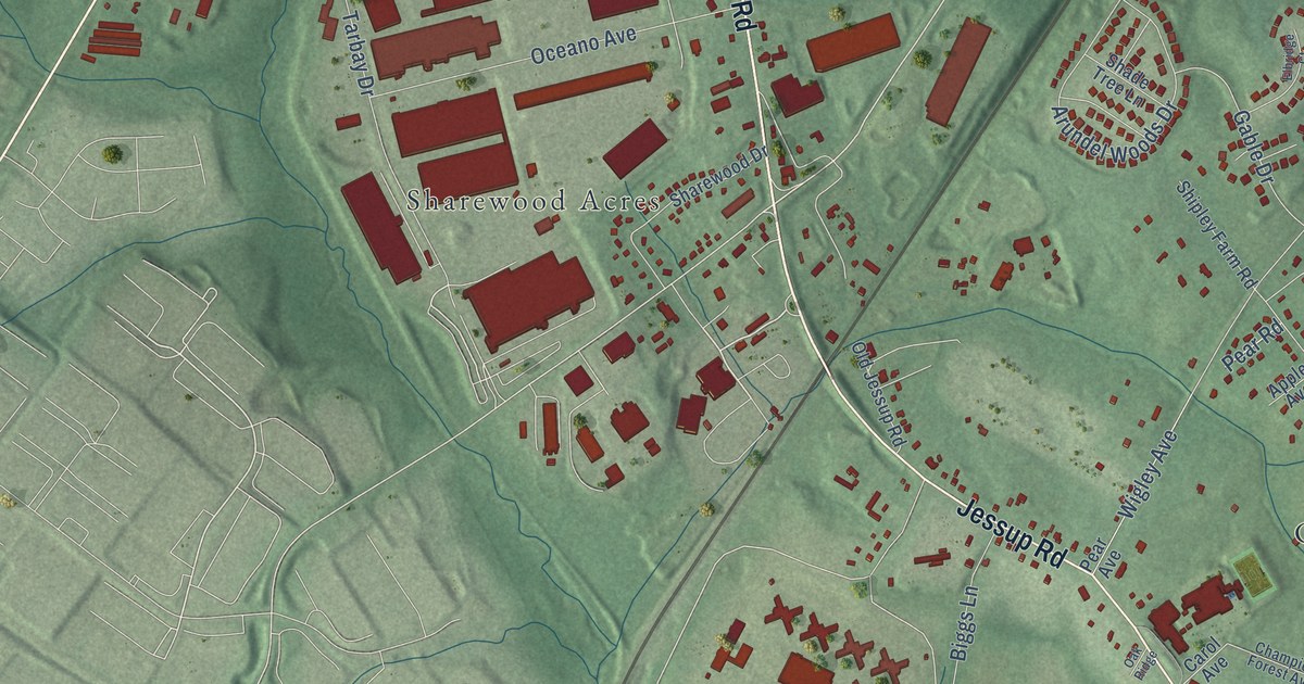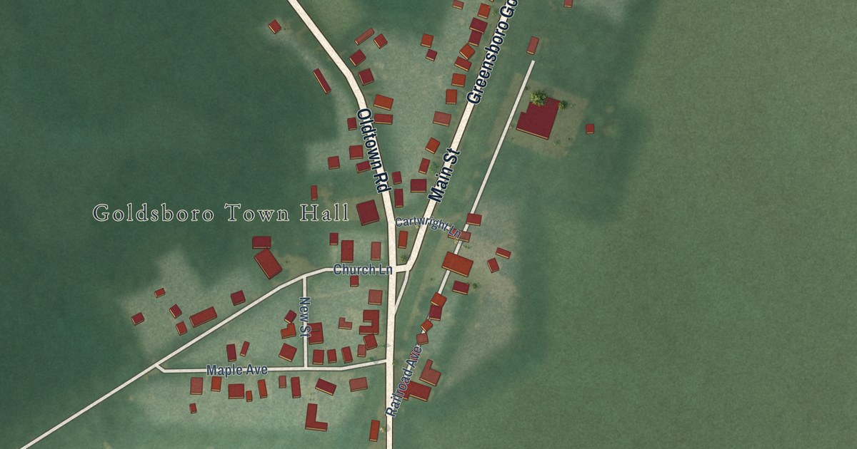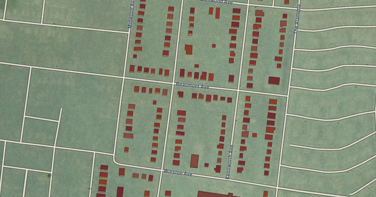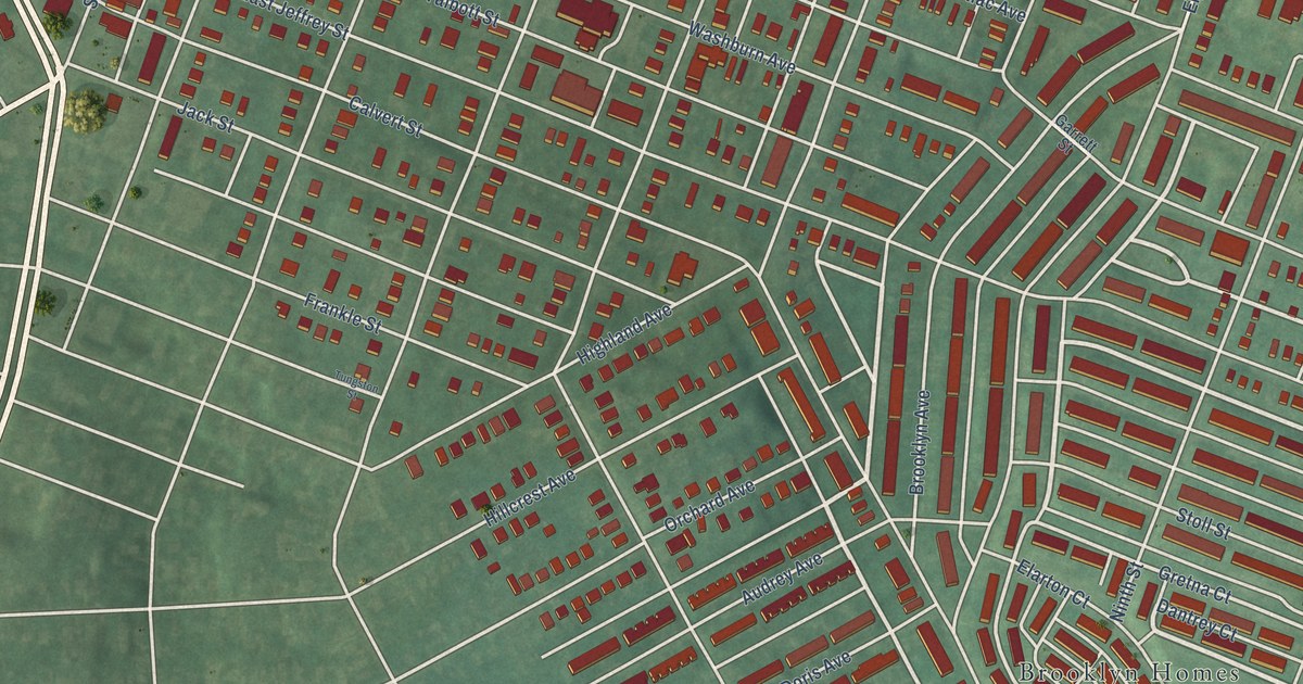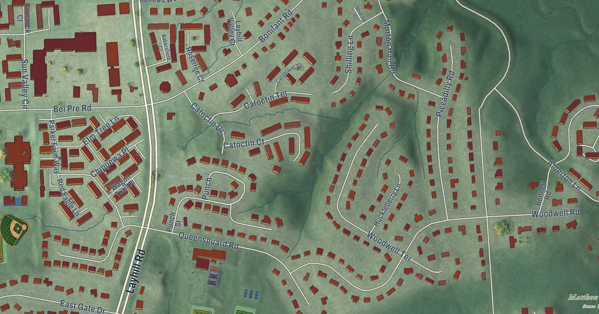
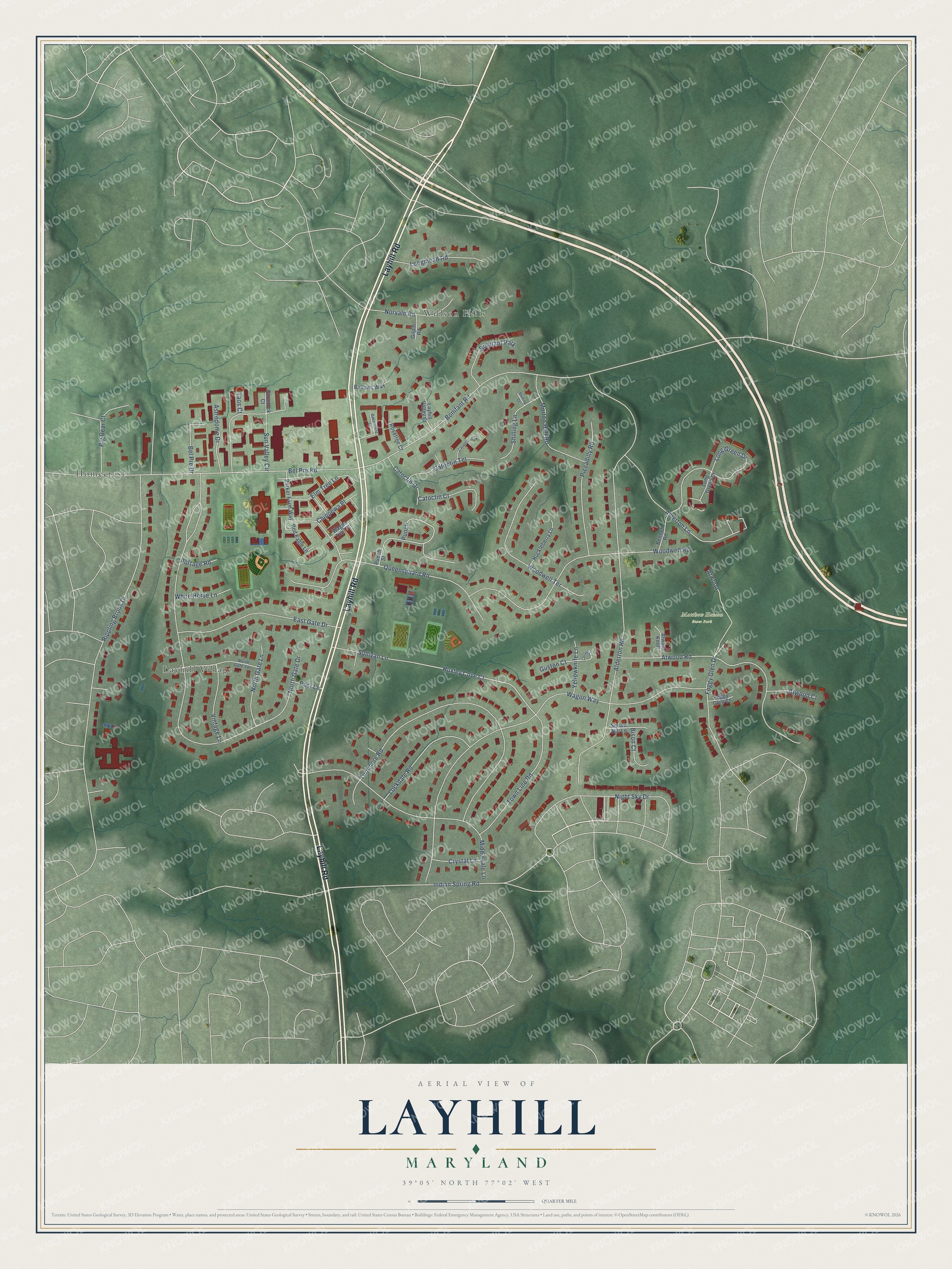
This beautifully detailed map of Layhill, Maryland was created in 2026 using aerial imagery combined with modern topographical, census, street and landmark data. It's a modern aerial view of Layhill in Montgomery County, Maryland, that combines modern data with a vintage aesthetic. The roads feature printed names, and if you look closely you can find your exact house accurately shown in its correct location.
Explore an aerial view of Layhill, Maryland
On this map you'll find Matthew Henson State Park, Layhill Village, Willson Hills, Homecrest, Layhill Road, Punch, Huxley Cove Court, North Gate Drive, Alderton Road, Wagon Way, Rippling Brook Drive, Turnmore Road, and more. Each red shape is a building, so zoom in on the preview and look for yours.
Layhill is a community in Montgomery County. The Census Bureau counted 5,764 people here in 2020. Layhill sits about 2 miles southeast of Leisure World, 2 miles east of Aspen Hill and 2 miles northwest of Colesville. The map prints the town name in its title panel, with the coordinates below it.
Take a closer look at the Layhill map
Names on this map
These names are printed on this map.
Places: Matthew Henson State Park, Layhill Village, Willson Hills, Homecrest and Bonifant Park.
Streets and roads: Layhill Road, Punch, Huxley Cove Court, North Gate Drive, Alderton Road, Wagon Way, Rippling Brook Drive, Turnmore Road, Bonifant Road, Bel Pre Road, Woodwell Road, Atwood Road.
More street names, A to Z
Alderton Lane, Astrodome Drive, Atwood, Atwood Court, Atwood Knoll, Bakersfield Court, Ballows Way, Bel Pre Drive, Bennett Road, Big Bear Court, Bison Court, Catamount Court, Catoctin Court, Catoctin Drive, Catoctin Terrace, Chippewa Place, Crystal Lane, East Gate Drive, Elm Tree Lane, Foggy Glen Court, Foggy Glen Drive, Gilpin Road, Gunstock Court, Guston Court, Huckleberry Lane, Indian Spring Road, Layhill Valley Court, Leclair Court, Lockdale Road, Long Green Court, Long Green Drive, Longmead Road, Middlevale Lane, Morton Hall Road, Night Sky Drive, North Gate Lane, North Gate Terrace, Norvale Road, Parker Farm Way, Piccadilly Road, Portage Road, Post Lane, Punch Street, Queensguard Road, Red Eagle Lane, Rosetree Court, Shilling Court, Shilling Lane, Sullivan Lane, Sun Valley Circle, Taos Court, Town Line Road, Vintage Lane, Wagon Trail Place, White Horse Lane, Woodwell Terrace, Yellowknife Lane.
Created by KNOWOL in 2026. The buildings are small red shapes, the roads carry their printed names, and shaded relief shows the shape of the land. The title panel reads "AERIAL VIEW OF LAYHILL, MARYLAND" with 39°05' NORTH 77°02' WEST.
It looks right in a kitchen, an office or a den, and it's a gift for anyone who grew up in Layhill or moved away. Open the preview and find your street. See sizes and frames for the Layhill map.