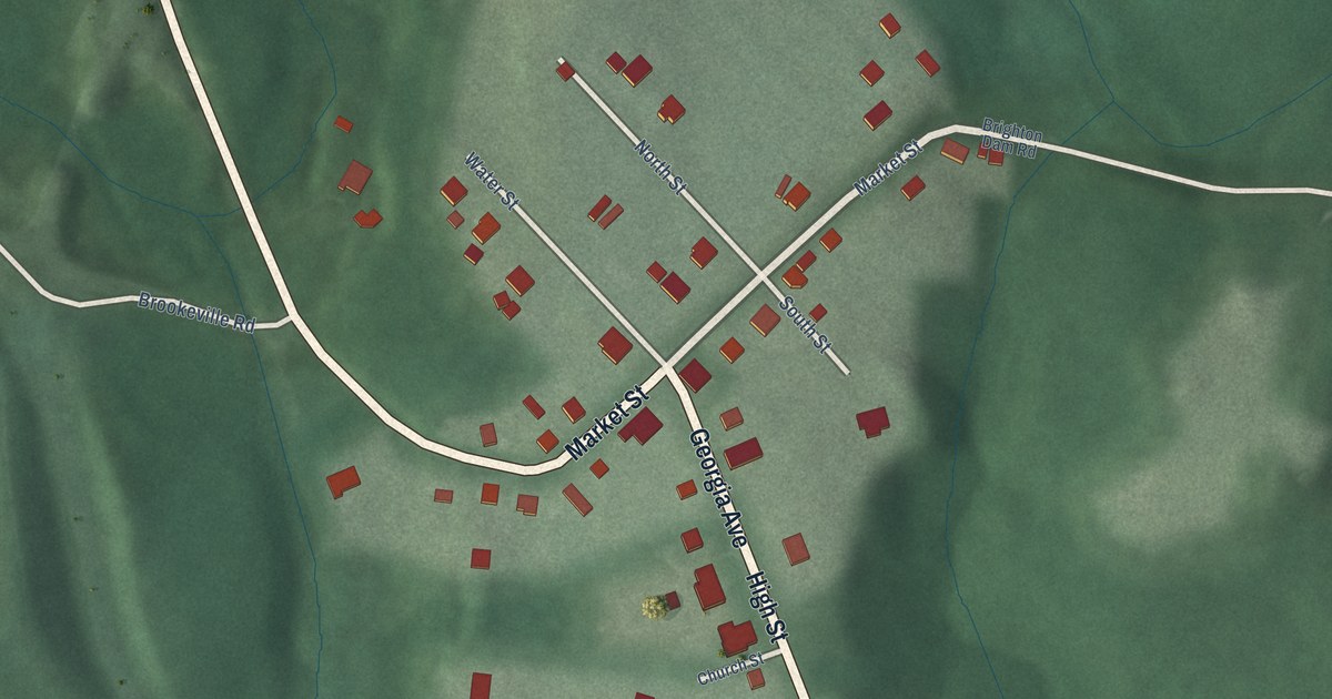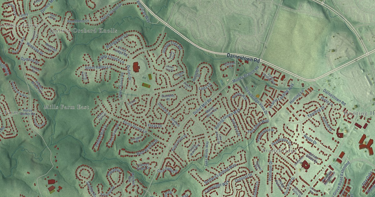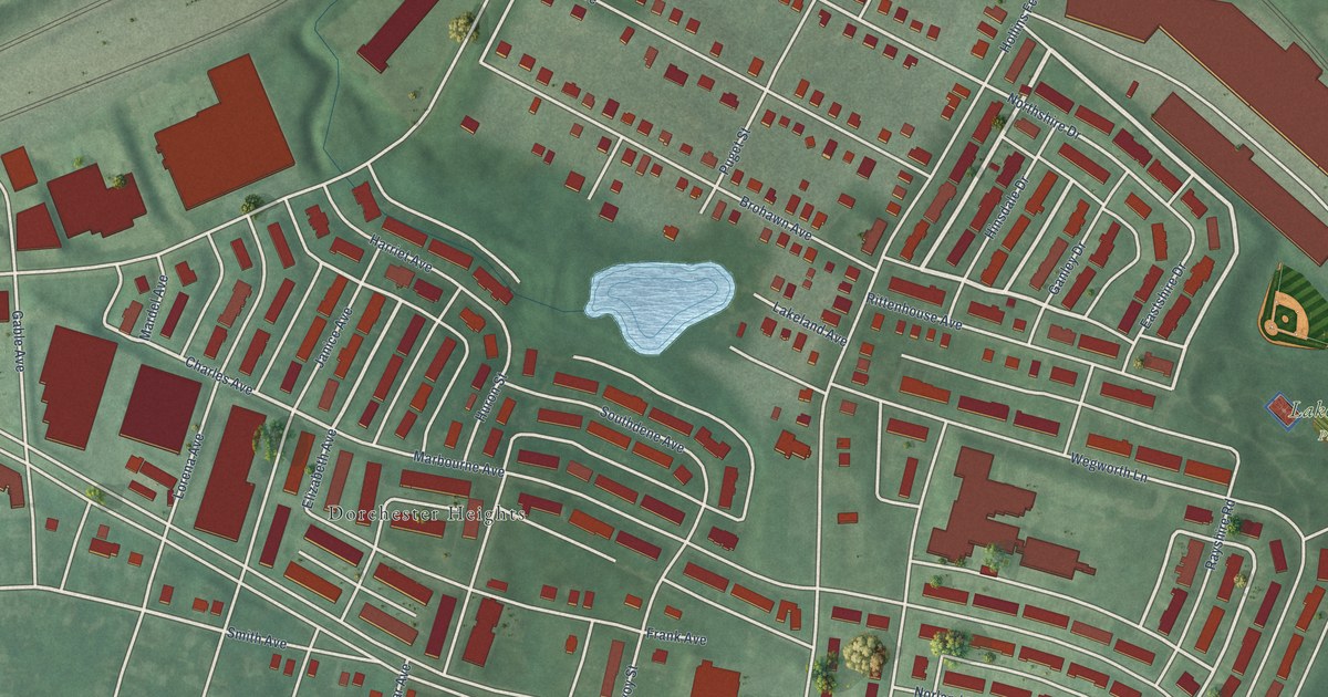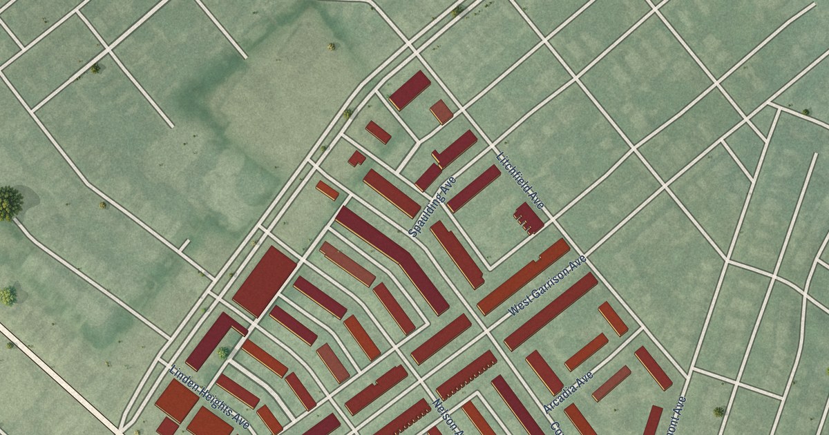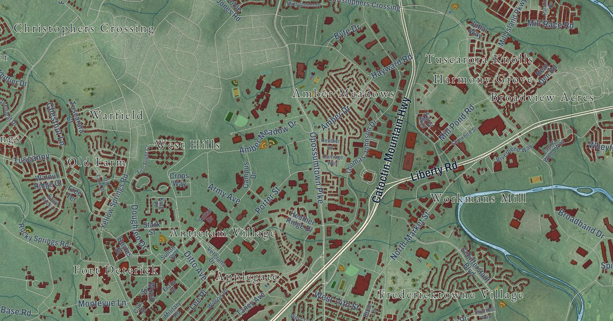
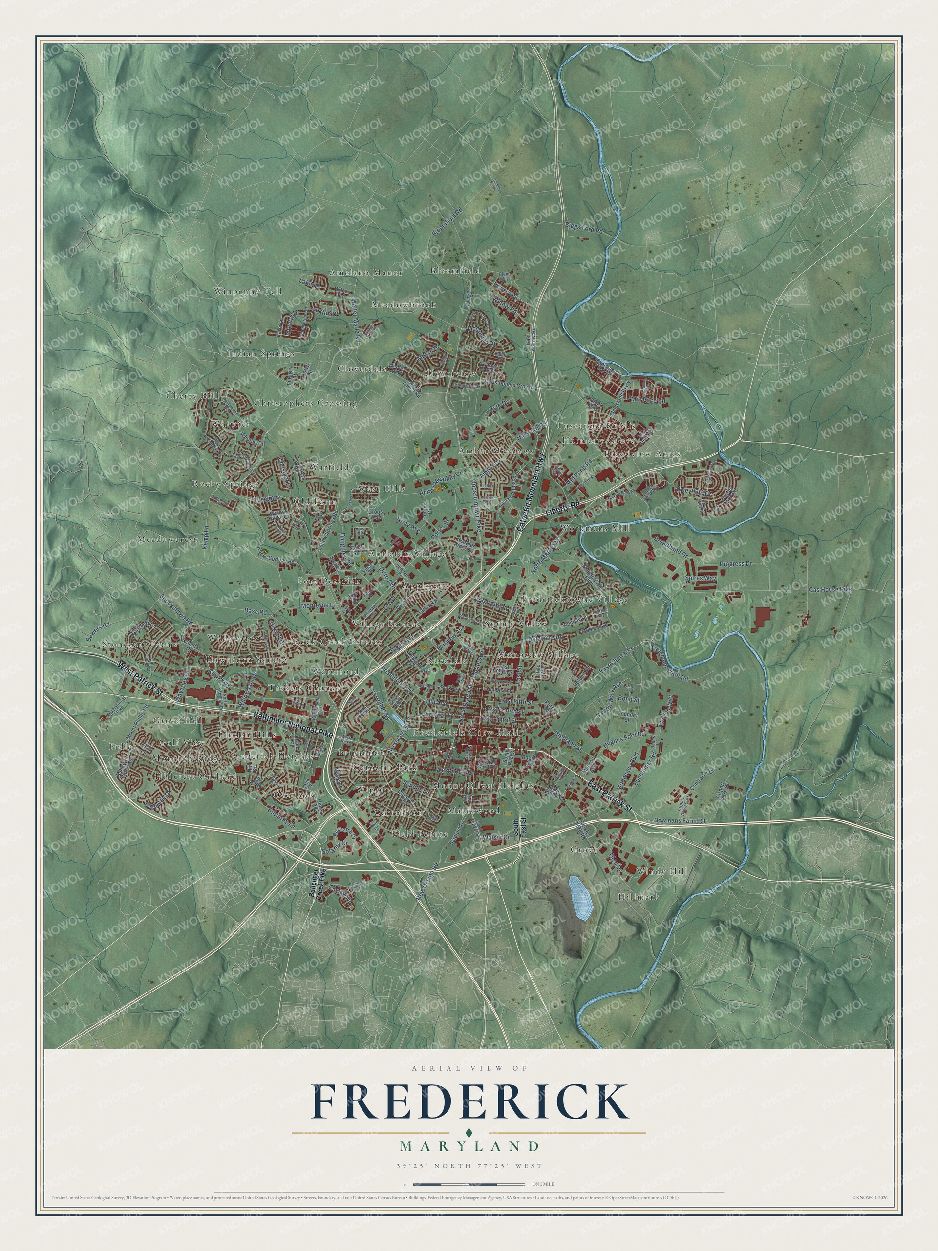
This beautifully detailed map of Frederick, Maryland was created in 2026 using aerial imagery combined with modern topographical, census, street and landmark data. It's a modern aerial view of Frederick in Frederick County, Maryland, that combines modern data with a vintage aesthetic. The roads feature printed names, and if you look closely you can find your exact house accurately shown in its correct location.
Explore an aerial view of Frederick, Maryland
On this map you'll find Frederick City Hall, Amber Meadows, Amelano Manor, Antietam Village, Applegate, Bloomfield, Brigadoon, Broadview Acres, Carrollton, Catoctin Park, Cherry Hill, Christophers Crossing, and more. Each red shape is a building, so zoom in on the preview and look for yours.
Frederick has a story worth telling. The History of Western Maryland puts it this way: "The town of Frederick had been laid out in 1745, three years before the creation of the county, and there had been a settlement of pioneers from Southern Maryland in what is now the Urbana district as early as 1730."
Frederick is a city in Frederick County. The Census Bureau counted 78,171 people here in 2020.
Take a closer look at the Frederick map
Names on this map
These names are printed on this map.
Places: Frederick City Hall, Amber Meadows, Amelano Manor, Antietam Village, Applegate, Bloomfield, Brigadoon, Broadview Acres, Carrollton, Catoctin Park, Cherry Hill, Christophers Crossing, Cloverdale, Cloverview, Field Pointe, Fort Deterick, Frederick Heights, Fredericktowne Village, Fuller, Golf View, Grove, Grove Hill, Harmony Grove, Hawthorn Square, Hillcrest Orchard, Hillmark, Indian Springs, Linden Hills, Maplewood, Meadowbrook, Meadowcrest, Monarch Ridge, Monocacy Village, Mount Olivet Heights, Old Farm, Overlook, Rock Creek Estates, Rocky Springs, Rosedale, Spring Valley, Stonegate Farms, Taskers Chance, Tuscarora Knolls, Village Estates, Warfield, Waterford, West Hills, Whittier, Willowcrest, Windy Hill, Wingate, Winpenny Tell and Workmans Mill.
Streets and roads: West Patrick Street, East Patrick Street, Liberty Road, Catoctin Mountain Highway, Baltimore National Pike, Opossumtown Pike, North Bentz Street, Motter Avenue, North Market Street, Bowmans Farm Road, Base Road, Dill Avenue.
More street names, A to Z
Airport Drive East, Airport Park Drive, Amber Drive, Amber Meadow Drive, Andover Lane, Apache Court, Army Avenue, Aviation Way, Avon Court, Bailes Lane, Ballenger Center Drive, Ballenger Creek Pike, Baughmans Lane, Bear Den Road, Bel Aire Lane, Belford Drive, Belmont Avenue, Bexhill Drive, Biggs Avenue, Biggs Ford Road, Bloomfield Road, Bond Street, Bowers Road, Boyles Street, Broadband Drive, Brodbeck Drive, Bucheimer Road, Buell Drive, Bushytail Drive, Butterfly Lane, Byte Drive, Cain Street, Campus Drive, Carriage Way, Carroll Parkway, Carroll Walk Avenue, Castle Rock Road, Catoctin Avenue, Cawley Drive, Chamberlain Drive, Chestnut Lane, Clem Way, Cohasset Court, Controller Court, Crops Way, Cyril Court, Delaware Road, Ditto Avenue, Doughten Drive, Eagle Rock Lane, East All Saints Street, East Church Street, East Eighth Street, East Fifth Street, East Fourth Street, East Greenleaf Drive, East Seventh Street, East Sixth Street, East South Street, East Street, East Third Street, East Willow Road, Egret Way, Essex Place, Fairview Avenue, Farm Lane, First Flight Court, Foundry Street, Fraim Street, Franklin Street, Free Terrace, Futurity Street, Gas House Pike, Greenleese Drive, Grove Boulevard, Hamilton Avenue, Harpers Way, Hayward Road, Heather Lane, Heather Ridge Drive, Highland Street, Hill Street, Himes Avenue, Hoke Place, Holden Road, Hughes Ford Road, Infantry Drive, Iras Way, Jubal Way, Kemp Lane, Key Parkway, King Place, Kline Boulevard, Lakin Drive, Laurel Wood Way, Lee Place, Linden Avenue, Lindley Road, Logan Street, McClellan Drive, Mercer Place, Midsummer Drive, Military Road, Mill Island Parkway, Mill Pond Road, Mill Race Road, Mohican Drive, Monarch Ridge Road, Monocacy Boulevard, Monocacy Ford Road, Monroe Avenue, Montevue Lane, Moran Drive, Mount Phillip Road, New Design Road, North McCain Drive, Oak Street, Old Camp Road, Old Farm Drive, Old National Pike, Palatine Drive, Park Avenue, Park Place, Parks Avenue, Pearson Boulevard, Pine Avenue, Poole Jones Road, Porter Street, Progress Drive, Reichs Ford Road, Research Drive, Riverbend Way, River Mist Court, Rockwell Terrace, Rocky Springs Road, Rose Lane, Rosemont Avenue, Sagner Avenue, Saxton Drive, Schaffer Drive, Schifferstadt Boulevard, Scholls Lane, Seneca Drive, Shookstown Road, Shorebird Street, Solarex Court, South Bentz Street, South Court Street, South East Street, South Market Street, Spires Way, Spring Run Circle, Stadium Drive, Stark Street, Stratford Way, Sultan Drive, Sultan Street, Sundays Lane, Taney Avenue, Teal Lane, Thames Drive, Thomas Johnson Drive, Tilco Drive, Treatment Plant Road, Trotter Street, Tuscanny, Tuscarora Court, Union Street, Veterans Drive, Walnut Ridge Court, Walnut Street, Walser Drive, Walter Martz Road, Waverley Drive, Wembly Drive, West 14th Street, West College Terrace, West Greenleaf Drive, West Ninth Street, West South Street, West Twelfth Street, Wetherburne Way, Wheyfield Drive, Whittier Drive, Wilcox Court, William Franklin Drive, Willowbrook Road, Willowdale Drive, Willow Road, Wilson Place, Windom Way, Wood Street, Wyngate Drive, Yellow Springs Road.
Created by KNOWOL in 2026. The buildings are small red shapes, the roads carry their printed names, and shaded relief shows the shape of the land. The title panel reads "AERIAL VIEW OF FREDERICK MARYLAND" with 39°25' NORTH 77°25' WEST.
It looks right in a kitchen, an office or a den, and it's a gift for anyone who grew up in Frederick or moved away. Open the preview and find your street. See sizes and frames for the Frederick map.