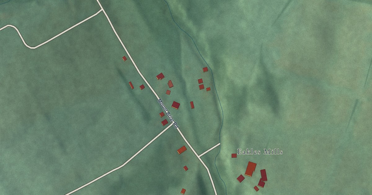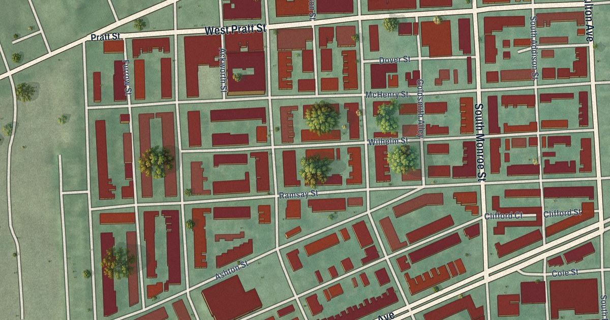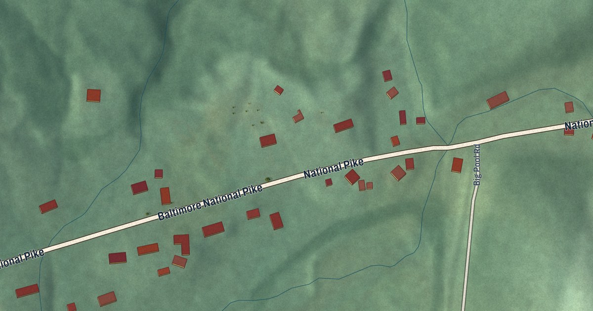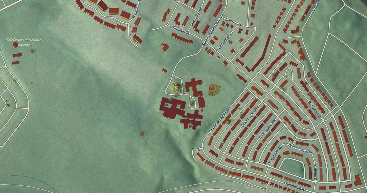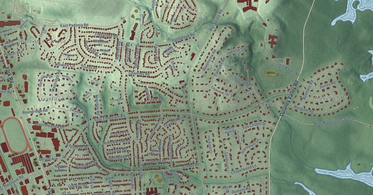
This beautifully detailed map of Timonium, Maryland was created in 2026 using aerial imagery combined with modern topographical, census, street and landmark data. It's a modern aerial view of Timonium in Baltimore County, Maryland, that combines modern data with a vintage aesthetic. The roads feature printed names, and if you look closely you can find your exact house accurately shown in its correct location.
Explore an aerial view of Timonium, Maryland
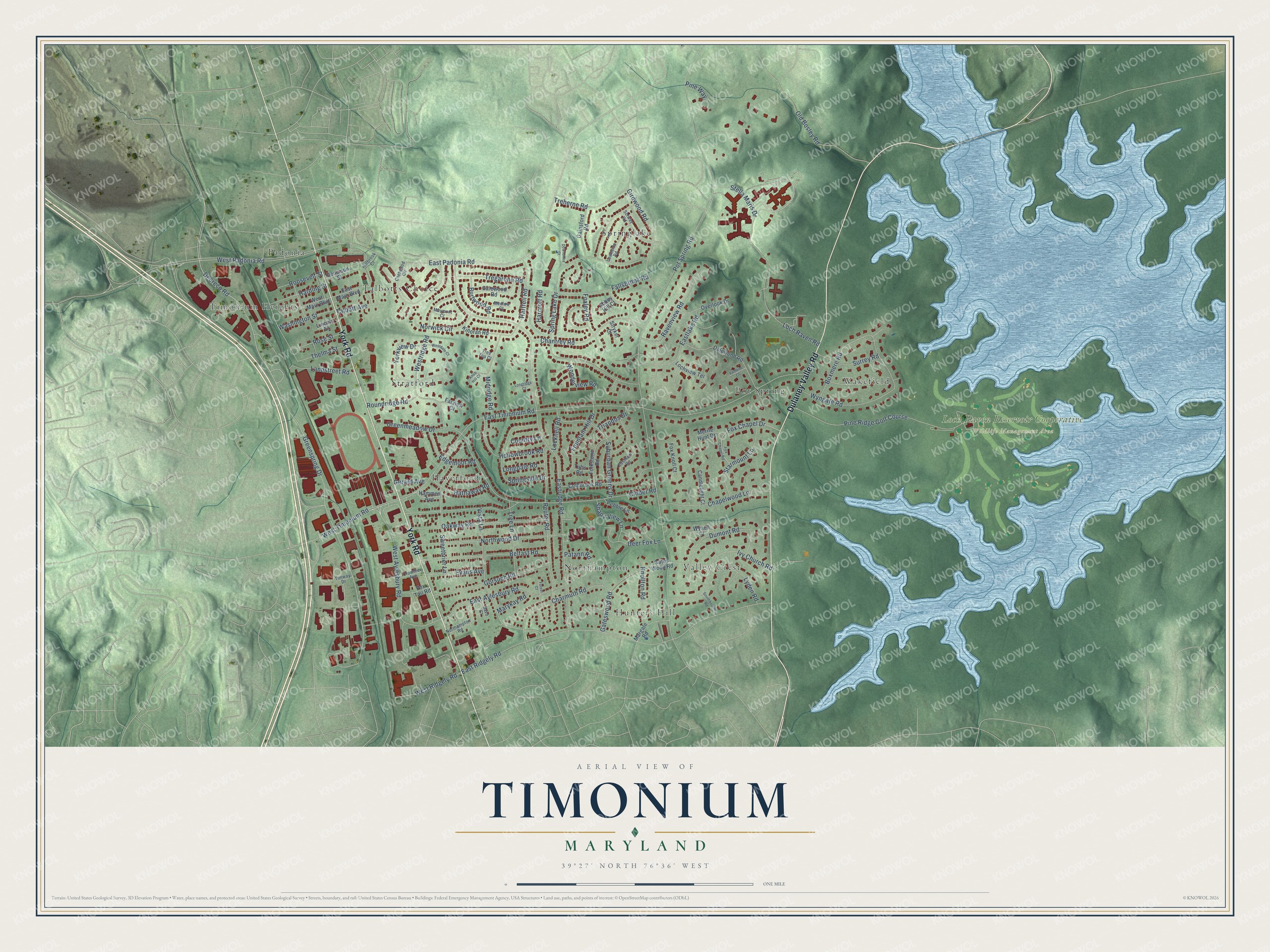
On this map you'll find Loch Raven Reservoir Cooperative Wildlife Management Area, Timonium Heights, Hunters Hill, Springlake, Pot Spring, Haverford, Valley Crest, Stratford, Wakefield, Padonia, Northampton, Talbotts Choice, and more. Each red shape is a building, so zoom in on the preview and look for yours.
Here is a piece of Timonium history. Timonium took its name from Timonium Mansion, built in the early 1780s, probably by Baltimore merchant Archibald Buchanan, on an estate of more than 250 acres then called Belle Field. His wife, Sarah Brooke Lee, sister of Governor Thomas Sim Lee, apparently renamed the estate Timonium after his death in 1785. A later owner kept a one-mile racetrack on the place, thought to be the first official track in the area. That's from the Maryland Historical Trust.
Timonium is a community in Baltimore County. The Census Bureau counted 10,458 people here in 2020.
Take a closer look at the Timonium map
Names on this map
These names are printed on this map.
Places: Loch Raven Reservoir Cooperative Wildlife Management Area, Timonium Heights, Hunters Hill, Springlake, Pot Spring, Haverford, Valley Crest, Stratford, Wakefield, Padonia, Northampton, Talbotts Choice and Pine Ridge Golf Course.
Streets and roads: Dulaney Valley Road, York Road, East Padonia Road, Deereco Road, Greenspring Drive, Pot Spring Road, East Timonium Road, Eastridge Road, East Ridgely Road, Spring Lake Drive, Cinder Road, Loch Raven Road.
More street names, A to Z
Abbey Hill Court, Belfast Road, Boxmere Road, Burlwood Road, Candlelight Court, Chantrey Road, Chapelwood Lane, Charmuth Road, Chetwood Circle, Coldbrook Road, Country Lane, Crowther Avenue, Dalewood Road, Deer Fox Lane, Deneison Street, Downshire Court, Dumont Road, East Aylesbury Road, Eastham Road, Eastlake Road, East Main Boulevard, Edgemoor Road, Evans Avenue, Fallsbrook Road, Farview Court, Folkstone Road, Forest Court, Fountain Hill Drive, Fox Chapel Drive, Fox Chapel Road, Fox Knoll Court, Foxley Road, Fox Tail Road, Gainsford Road, Galewood Road, Gateswood Road, Gates Wood Road, Gerard Avenue, Girdwood Road, Gorsuch Road, Greenmeadow Drive, Hammen Avenue, Harcroft Road, Harding Street, Hartfell Road, Hathaway Road, Hillbrook Court, Hollowbrook Road, Ivy Church Road, Killoran Road, Knob Hill Court, Knollton Road, Landstreet Road, Lawnside Road, Lincoln Street, Lochview Terrace, Locknell Road, Longdale Road, Longridge Court, Lyden Road, Margate Road, Marykay Road, Maymont Court, Medlow Court, Merrie Hunt Drive, Midridge Road, Northampton Road, Northwood Drive, Norwick Circle, Oakway Road, Old Bosley Road, Overlook Drive, Patann Road, Pebble Lane, Pine Way, Ravenview Road, Reuter Road, Roosevelt Street, Rose Street, Roundridge Road, Savo Court, Shady View Lane, Solway Road, Southbourne Road, Springside Drive, Starmount Lane, Stella Maris Drive, Stryker Court, Suburban Greens Drive, Surrey Road, Sweetbrier Lane, Talbott Avenue, Thelma Street, Timway Drive, Tree Lane, Tree Top Court, Tregarone Road, Treherne Road, Triandos Drive, Tufts Road, Valdene Court, Vista Lane, Washington Street, West Aylesbury Road, Westdale Court, West Main Boulevard, West Padonia Road, West Ridgely Road, Westridge Road, West Timonium Road, Wonderview Road, Wynell Court, Wyngate Road, Yorkview Drive.
See it on a wall
The Timonium map as a framed print. Swipe for more.


Created by KNOWOL in 2026. The buildings are small red shapes, the roads carry their printed names, and shaded relief shows the shape of the land. The title panel reads "AERIAL VIEW OF TIMONIUM, MARYLAND" with 39°27' NORTH 76°36' WEST.
It suits a den, a classroom or a front hall, and it makes a gift for anyone with Timonium roots. Open the preview and find the block you know. See sizes and frames for the Timonium map.