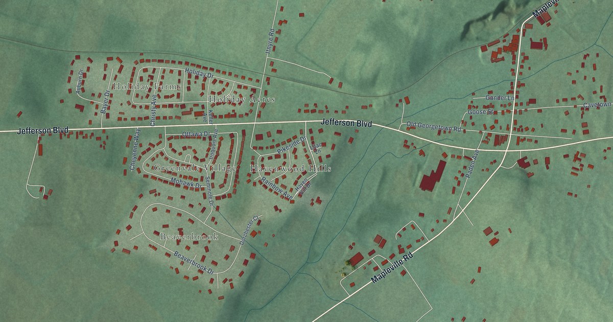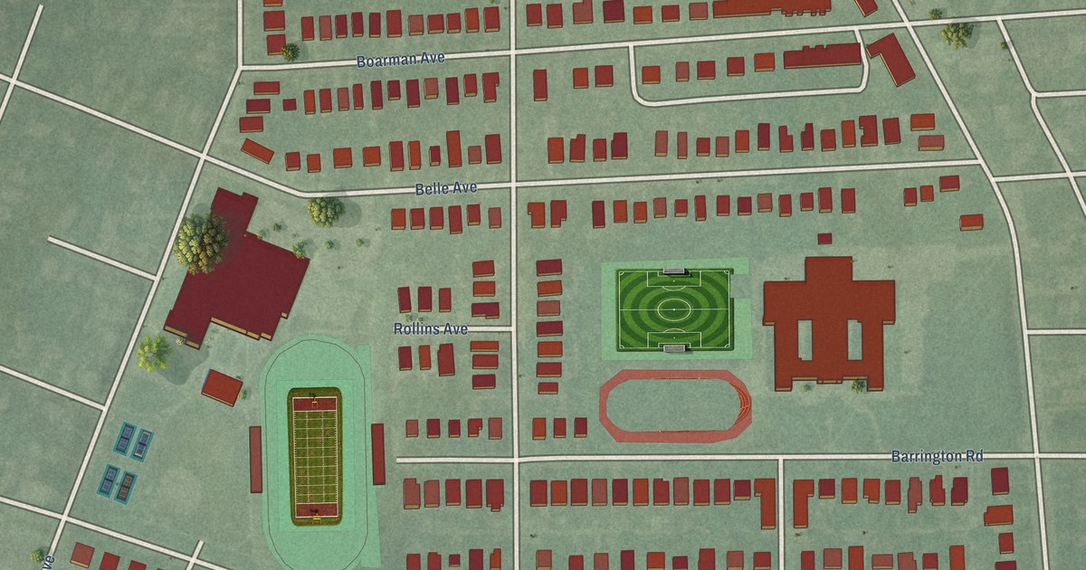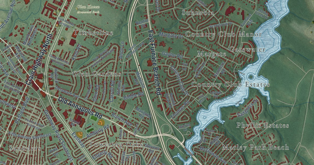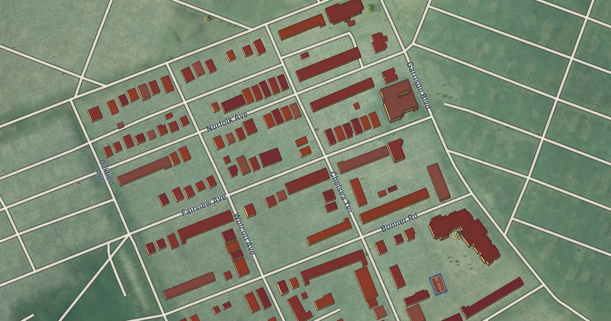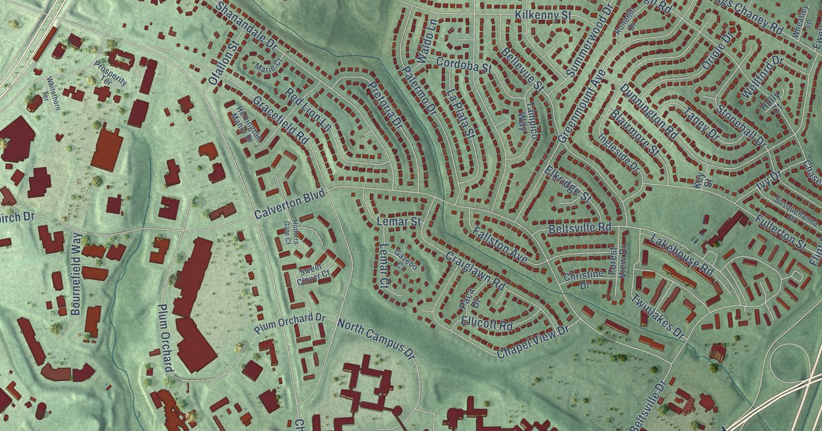
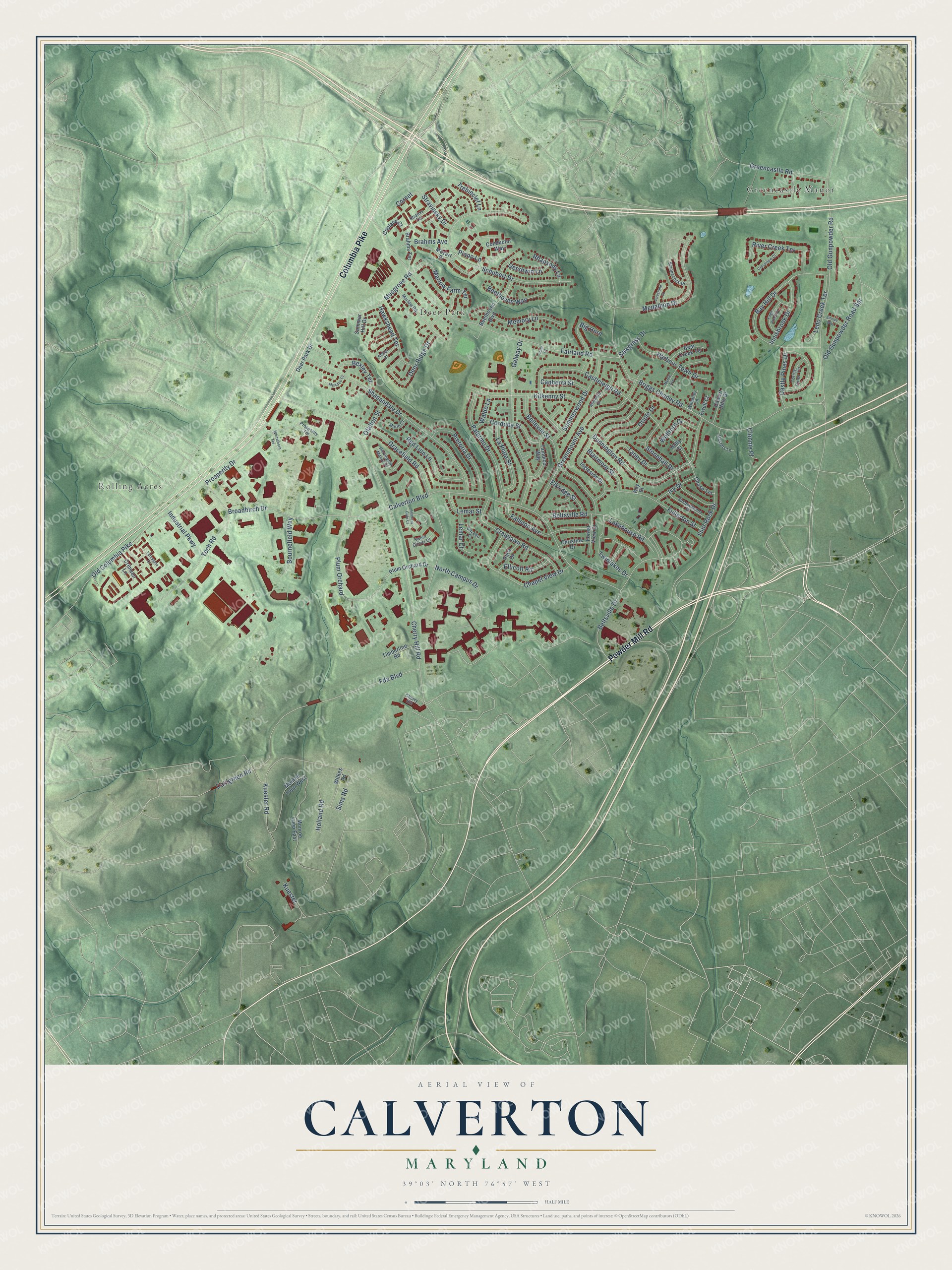
This beautifully detailed map of Calverton, Maryland was created in 2026 using aerial imagery combined with modern topographical, census, street and landmark data. It's a modern aerial view of Calverton in Montgomery County, Maryland, that combines modern data with a vintage aesthetic. The roads feature printed names, and if you look closely you can find your exact house accurately shown in its correct location.
Explore an aerial view of Calverton, Maryland
On this map you'll find Rolling Acres, Deer Park, Greencastle Manor, Powder Mill Road, Columbia Pike, Cherry Hill Road, Fairland Road, Calverton Boulevard, Briggs Chaney Road, Castleleigh Road, Gracefield Road, Old Gunpowder Road, and more. Each red shape is a building, so zoom in on the preview and look for yours.
Every town has a first chapter, and Calverton is no exception. The University of Maryland's Cherry Hill research farm on Cherry Hill Road was where scientists spent years developing hybrid corn and worked out a curing process to help sweet potatoes keep longer. Work Projects Administration crews built its core buildings, some from timber cut on the farm itself. That's from the Maryland Historical Trust.
Calverton is a community in Montgomery County. The Census Bureau counted 17,316 people here in 2020.
Take a closer look at the Calverton map
Names on this map
These names are printed on this map.
Places: Rolling Acres, Deer Park and Greencastle Manor.
Streets and roads: Powder Mill Road, Columbia Pike, Cherry Hill Road, Fairland Road, Calverton Boulevard, Briggs Chaney Road, Castleleigh Road, Gracefield Road, Old Gunpowder Road, Schubert Drive, Shanandale Drive, Fda Boulevard.
More street names, A to Z
Antler Court, Bay Hill Drive, Bear Creek Terrace, Beethoven Boulevard, Beethoven Way, Bellevue Street, Beltsville Drive, Beltsville Road, Bexley Terrace, Big Horn, Blairmore Street, Bournefield Way, Brahms Avenue, Brahms Terrace, Broadbirch Drive, Calvert Hills Drive, Canberra Street, Castle Pines Drive, Chapel View Drive, Chase Terrace, Cherry Hill, Christine Drive, Clonnie Place, Conductor Way, Copland Court, Cordoba Street, Cornet, Craiglawn Road, Crimson Lane, Crossview Court, Dahlgreen Road, Deer Park Drive, Deer Ridge Drive, Dunnington Road, Eagle Creek Drive, Elkridge Street, Ellicott Road, Ewell Court, Fallston Avenue, Firestone Court, Flint Rock Drive, Forest View Drive, Fullerton Street, Galway Drive, Gazebo Court, Gershwin Lane, Greencastle Road, Greenmount Avenue, Harbour Town Drive, Hawkshead Terrace, Herrington Manor Drive, Holland Road, Holly Court, Hunters Gate Court, Industrial Parkway, Ingleside Drive, Innisbrook Drive, Iona Court, Ivy Drive, Key Street, Kilkenny Street, Kuester, Kuester Road, Lakehouse Road, La Plata Street, Ledo Creek Terrace, Lemar Court, Lemar Street, Marie Court, Marlow Farm Terrace, Marlow Road, Masters Lane, McAdoo Court, Medallion Drive, Memory Lane, Monroe Loop East, Monroe Loop West, Mozart Drive, Musgrove Road, Myrtle Avenue, North Campus Drive, Ofallon Street, Old Columbia Pike, Old Gunpowder Road Spr, Oriole Drive, Paca Drive, Palermo Drive, Piano Lane, Plum Orchard, Plum Orchard Drive, Pretoria Drive, Prosperity Drive, Prosperity Terrace, Red Lion Lane, Rhapsody Lane, River Creek Terrace, Ronehill Drive, Sawgrass Drive, Shinnecock Drive, Sims Road, Sinope Way, Stonehall Drive, Strauss Terrace, Stravinsky Drive, Summer Hill Drive, Summerwood Drive, Susquehanna Drive, Sweet Clover Court, Tampico Way, Taney Drive, Tech Road, Timberline Road, Torrey Pines Terrace, Trebleclef Lane, Turnstone Court, Twinlakes Drive, Waldo Lane, Wellford Drive, Wheatley Lane, Whitethorn Terrace, Wilkes Road.
See it on a wall
The Calverton map as a framed print. Swipe for more.


Created by KNOWOL in 2026. The buildings are small red shapes, the roads carry their printed names, and shaded relief shows the shape of the land. The title panel reads "AERIAL VIEW OF CALVERTON, MARYLAND" with 39°03' NORTH 76°57' WEST.
Hang it in the hallway, the office or the cabin, or give it to someone who left Calverton and still calls it home. Open the preview and look for a street you know. See sizes and frames for the Calverton map.