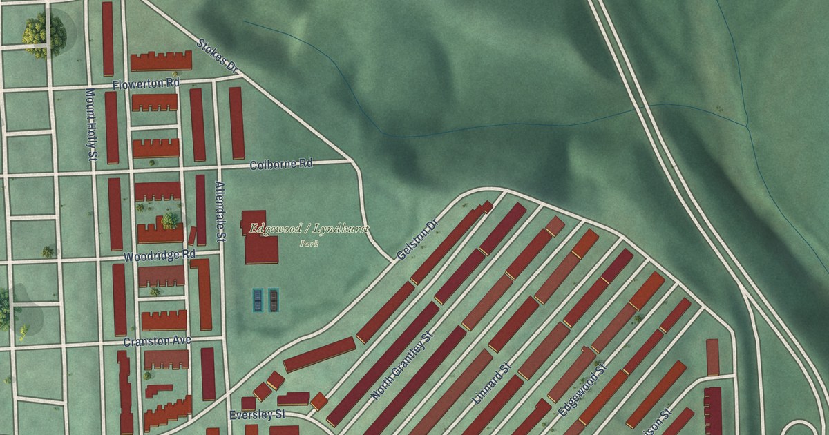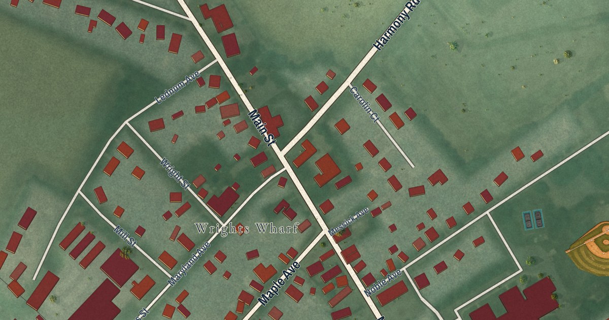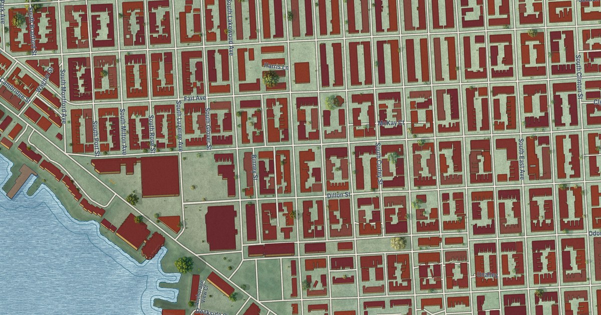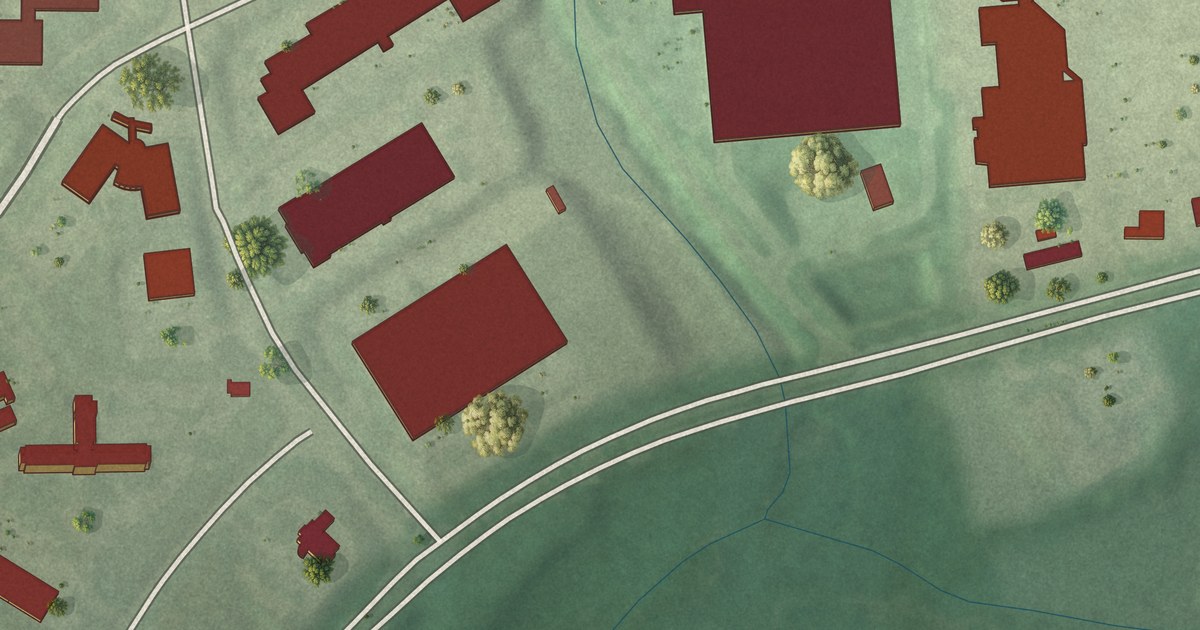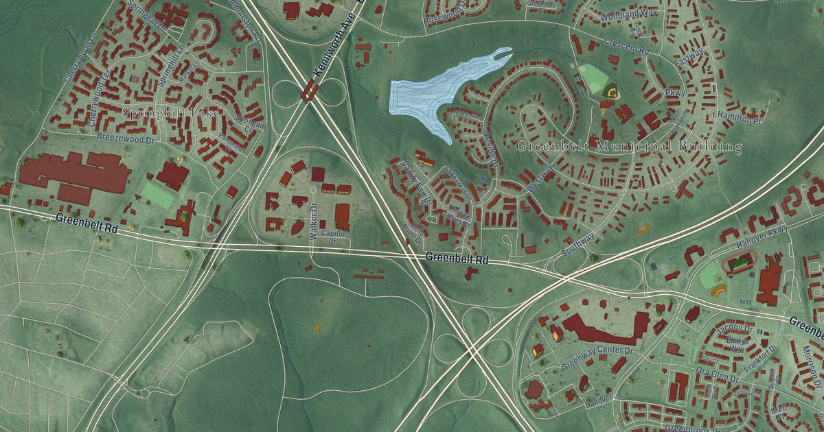
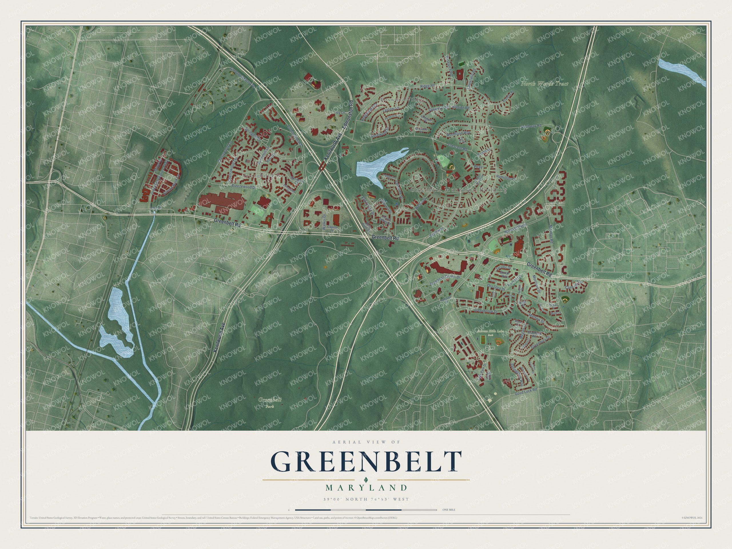
This beautifully detailed map of Greenbelt, Maryland was created in 2026 using aerial imagery combined with modern topographical, census, street and landmark data. It's a modern aerial view of Greenbelt in Prince George's County, Maryland, that combines modern data with a vintage aesthetic. The roads feature printed names, and if you look closely you can find your exact house accurately shown in its correct location.
Explore an aerial view of Greenbelt, Maryland
On this map you'll find Greenbelt Municipal Building, Greenbelt Park, North Woods Tract, Schrom Hills Lake Park, Boxwood Village, Springhill Lake, Greenbelt Road, Kenilworth Avenue, Edmonston Road, Greenway Center Drive, Southway, Lakeside Drive, and more. Each red shape is a building, so zoom in on the preview and look for yours.
Greenbelt has a story worth telling. The record at services.arcgis.com puts it this way: "Greenbelt 1937 Greenbelt was the first of three planned garden towns built and owned by the U.S. government during the administration of President Franklin D."
Greenbelt is a city in Prince George's County. The Census Bureau counted 24,921 people here in 2020.
Take a closer look at the Greenbelt map
Names on this map
These names are printed on this map.
Places: Greenbelt Municipal Building, Greenbelt Park, North Woods Tract, Schrom Hills Lake Park, Boxwood Village and Springhill Lake.
Streets and roads: Greenbelt Road, Kenilworth Avenue, Edmonston Road, Greenway Center Drive, Southway, Lakeside Drive, Westway, Cherrywood Lane, Ridge Road, Hanover Parkway, Crescent Road, Mandan Road.
More street names, A to Z
Belle Point Drive, Bird Lane, Branchville Road, Breezewood Drive, Brett Place, Burkart Court, Canning Terrace, Capitol Drive, Cherrywood Terrace, Craddock Road, Crescent Road South, Eastway, Edmonston Court, Emilys Way, Forest Way, Frankfort Drive, Good Luck Road, Greenbelt Metro Drive, Greenbelt Station Parkway, Greenbrook Drive, Greenbury Drive, Green Crescent Court, Greendale Place, Greenhill Road, Greenway Place, Hamilton Place, Hanover Drive, Hedgewood Drive, Hillside Road, Ivy Lane, Jacobs Drive, Kara Court, Lakecrest Drive, Lake Park Drive, Landon Court, Lastner Lane, Laurel Hill Road, Maplewood Court, Market Lane, Mathew Street, Megan Lane, Miner Street, Morrison Drive, Northway Road, Ora Court, Ora Glen Court, Ora Glen Drive, Parkway, Periwinkle Court, Plateau Place, Prince James Court, Research Road, Rosewood Drive, Somerset Court, South Ora Court, Springcrest Drive, Springhill Court, Springhill Drive, Springhill Lane, Springshire Way, Stream Bank Lane, Sunrise Court, Vanity Fair Drive, Village Park Drive, Walker Drive, Woodland Way.
Created by KNOWOL in 2026. The buildings are small red shapes, the roads carry their printed names, and shaded relief shows the shape of the land. The title panel reads "AERIAL VIEW OF GREENBELT MARYLAND" with 39°00' NORTH 76°53' WEST.
It looks right in a kitchen, an office or a den, and it's a gift for anyone who grew up in Greenbelt or moved away. Open the preview and find your street. See sizes and frames for the Greenbelt map.