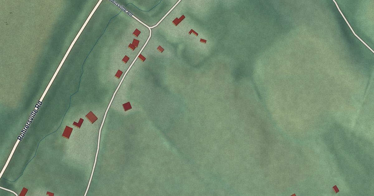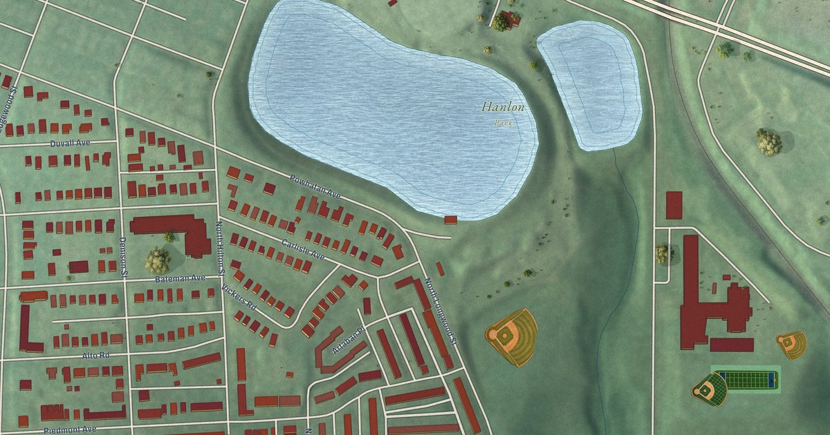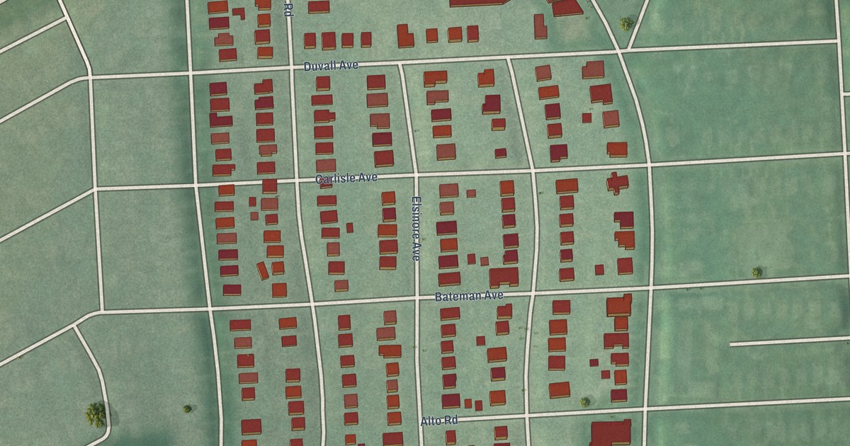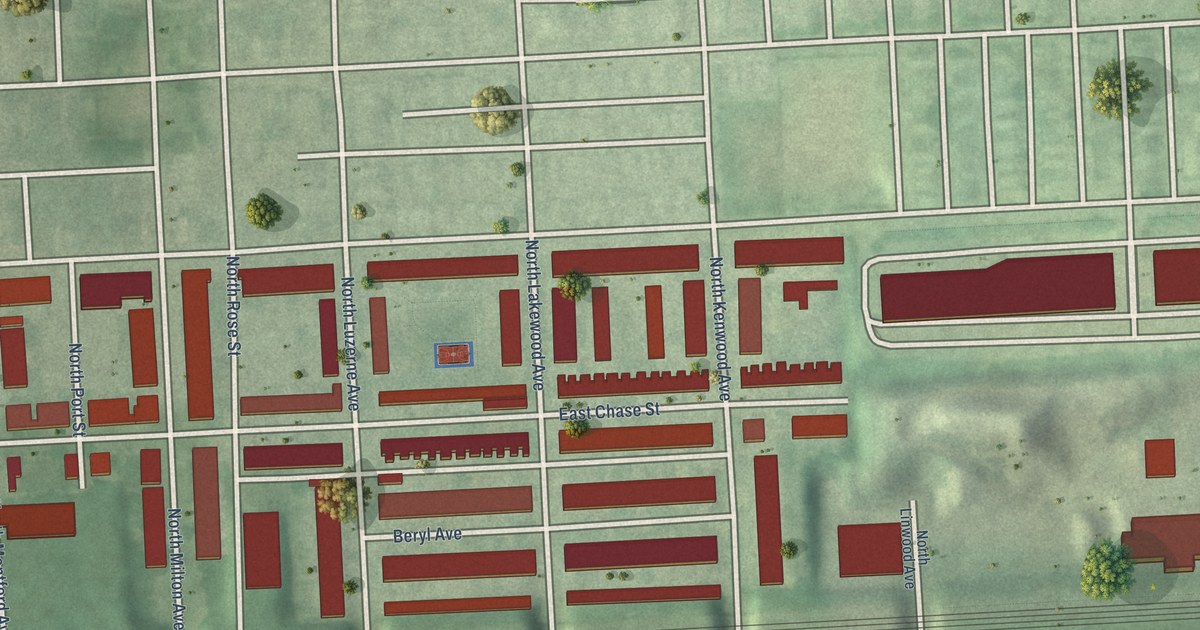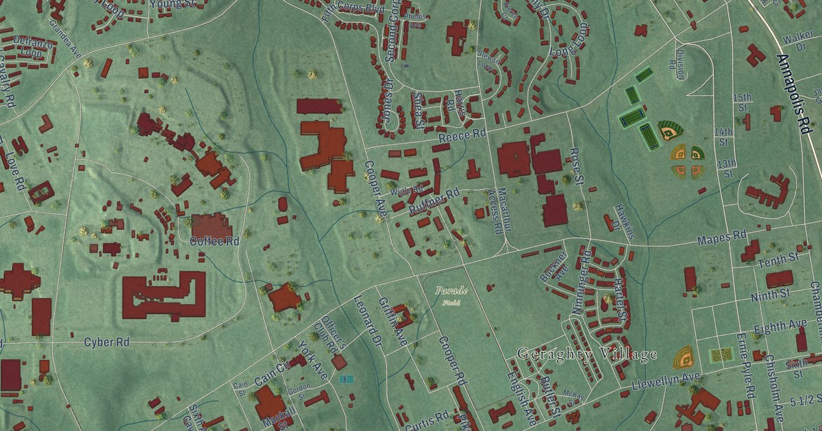
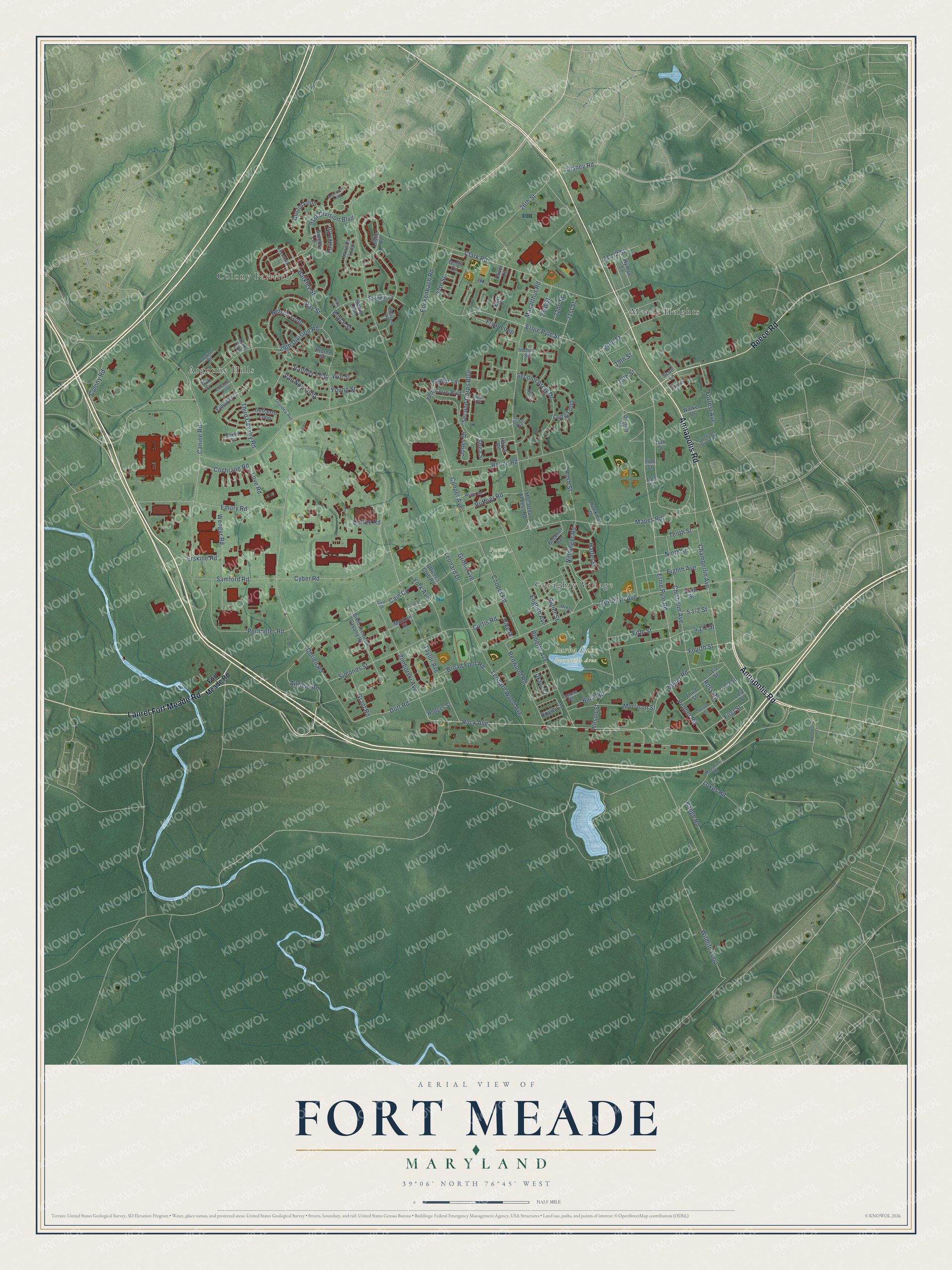
This beautifully detailed map of Fort Meade, Maryland was created in 2026 using aerial imagery combined with modern topographical, census, street and landmark data. It's a modern aerial view of Fort Meade in Anne Arundel County, Maryland, that combines modern data with a vintage aesthetic. The roads feature printed names, and if you look closely you can find your exact house accurately shown in its correct location.
Explore an aerial view of Fort Meade, Maryland
On this map you'll find Burba Lake Recreation Area, Parade Field, Meade Heights, Colony Fairfield, Argonne Hills, Geraghty Village, Annapolis Road, Laurel Fort Meade Road, Reece Road, Disney Road, Rock Avenue, Ernie Pyle Road, and more. Each red shape is a building, so zoom in on the preview and look for yours.
Fort Meade has a story worth telling. Fort Meade opened in 1917 as Camp Meade, named for General George Gordon Meade, whose victory at Gettysburg helped turn the tide of the Civil War. When the Army renamed it Fort Leonard Wood in 1928, Pennsylvania congressmen, angry at losing their native son's name, held up Army funding until it became Fort George G. Meade on March 5, 1929. That's from the U.S. Army Garrison Fort Meade.
Fort Meade is a community in Anne Arundel County. The Census Bureau counted 9,324 people here in 2020.
Take a closer look at the Fort Meade map
Names on this map
These names are printed on this map.
Places: Burba Lake Recreation Area, Parade Field, Meade Heights, Colony Fairfield, Argonne Hills and Geraghty Village.
Streets and roads: Annapolis Road, Laurel Fort Meade Road, Reece Road, Disney Road, Rock Avenue, Ernie Pyle Road, Ernie Pyle Street, First Street, Pepper Road, Chisholm Avenue, 19th Street, Fourth Street.
More street names, A to Z
13th Street, 14th Street, 15th Street, 18th Street, 20th Street, 21st Street, 22nd Street, 23rd Street, 26th Street, 27th Street, 29th Division Road, 91st Division Boulevard, Airfield Road, Allsworth Court, Anderson Loop, Baker Street, Barkley Street, Boyce Street, Broad Foot Road, Brownell Road, Buckner Avenue, Buck Road, Burr Court, Butler Street, Cain Circle, Cain Street, Canine Road, Chamberlin Avenue, Clark Road, Cochrane Road, Coffee Road, Colony Road, Cooper Avenue, Cooper Road, Costin Loop, Craig Street, Curtis Road, Cyber Road, Defranzo Loop, Division Road, Doyle Court, Dutt Road, Eighth Avenue, Emory Road, English Avenue, Erskine Road, Eubanks Court, Eubanks Loop, Fifth Corps Boulevard, Fifth Street, Forrest Avenue, Fort Meade Road, Foster Circle, Fryar Loop, Genty Circle, Gordon Street, Grandea Avenue, Grant Road, Gregory Lane, Griffin Avenue, Hall Street, Harris Loop, Harris Road, Hartel Street, Hawkins Drive, Highland Road, Hodges Street, Huber Road, Hyman Lane, Inchon Street, Jackson Grove Road, Jones Drive, Kelley Loop, Lawson Loop, Leonard Drive, Leonard Wood Avenue, Leslie Road, Llewellyn Avenue, Lokus Road, Long Loop, Love Road, Macarthur Access Road, Macarthur Road, Mackall Street, Magazine Road, Mapes Road, McKay Street, Morrison Street, Nelson Loop, Ninninger Road, Ninth Street, Obrien Road, Officer's Club Road, Okane Court, Old Odenton Road, Oliver Court, Parsons Road, Perimeter Road, Phelps Avenue, Pierce Court, Pike Drive, Range Road, Ray Street, Redwood Road, Roberts Avenue, Rockenbach Road, Rose Street, Ross Road, Ruffner Road, Samford Road, Sargent Court, Scott Lane, Second Army Drive, Second Corps Boulevard, Second Street, Shea Street, Sidman Court, Simonds Street, Sixth Armored Cavalry Road, Sixth Street, Stewart Loop, Taylor Avenue, Taylor Lane, Tenth Street, Third Cavalry Road, Third Street, Thorne Street, Van Noy Loop, Vannoy Loop, Walker Drive, Wenger Road, Wigle Road, Wildlife Loop, Will Street, Wilson Street, York Avenue, Young Street, Zimborski Avenue.
See it on a wall
The Fort Meade map as a framed print. Swipe for more.


Created by KNOWOL in 2026. The buildings are small red shapes, the roads carry their printed names, and shaded relief shows the shape of the land. The title panel reads "AERIAL VIEW OF FORT MEADE, MARYLAND" with 39°06' NORTH 76°45' WEST.
It looks right in a kitchen, an office or a den, and it's a gift for anyone who grew up in Fort Meade or moved away. Open the preview and find your street. See sizes and frames for the Fort Meade map.