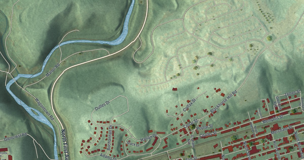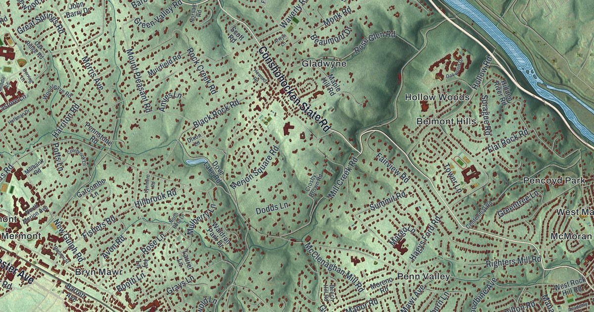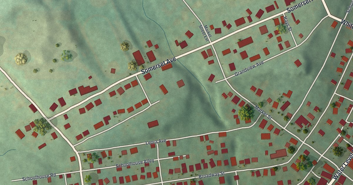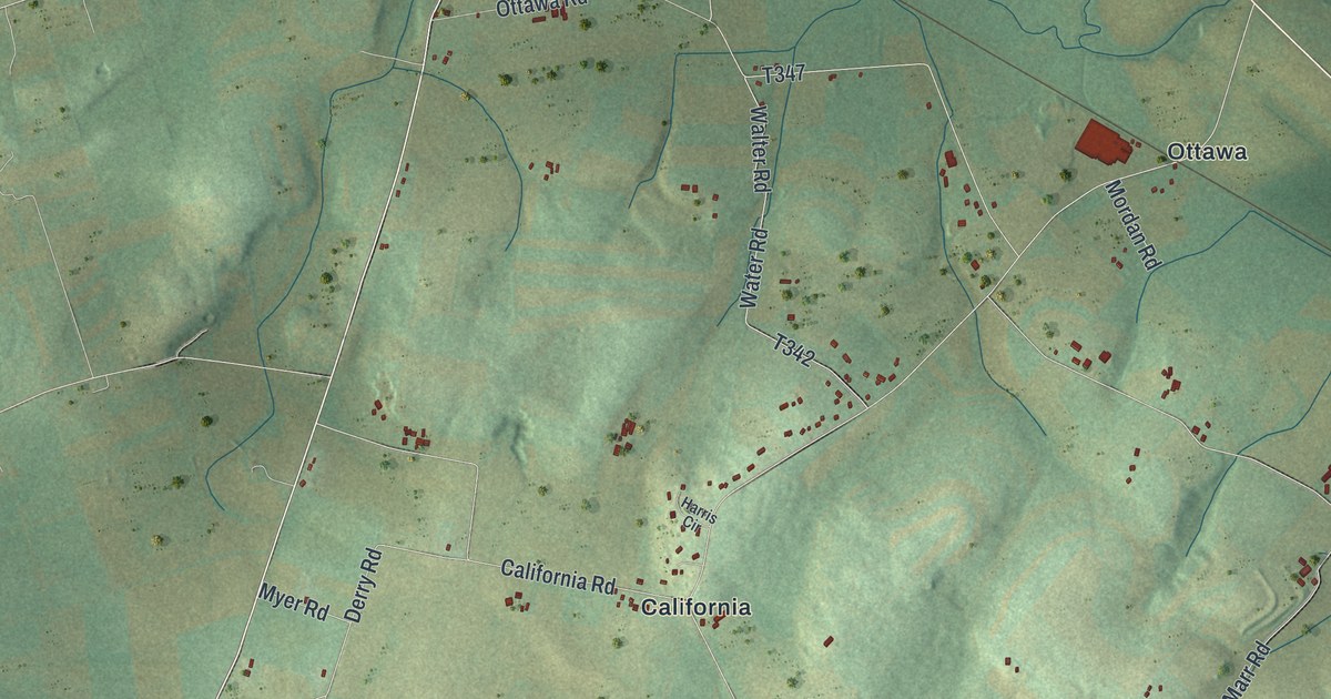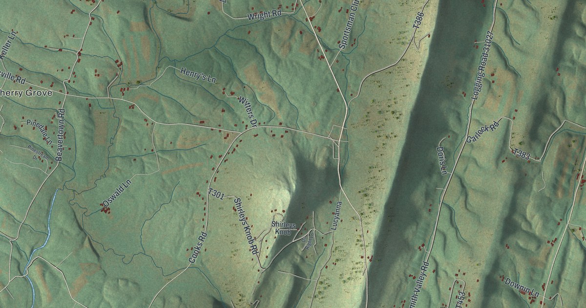
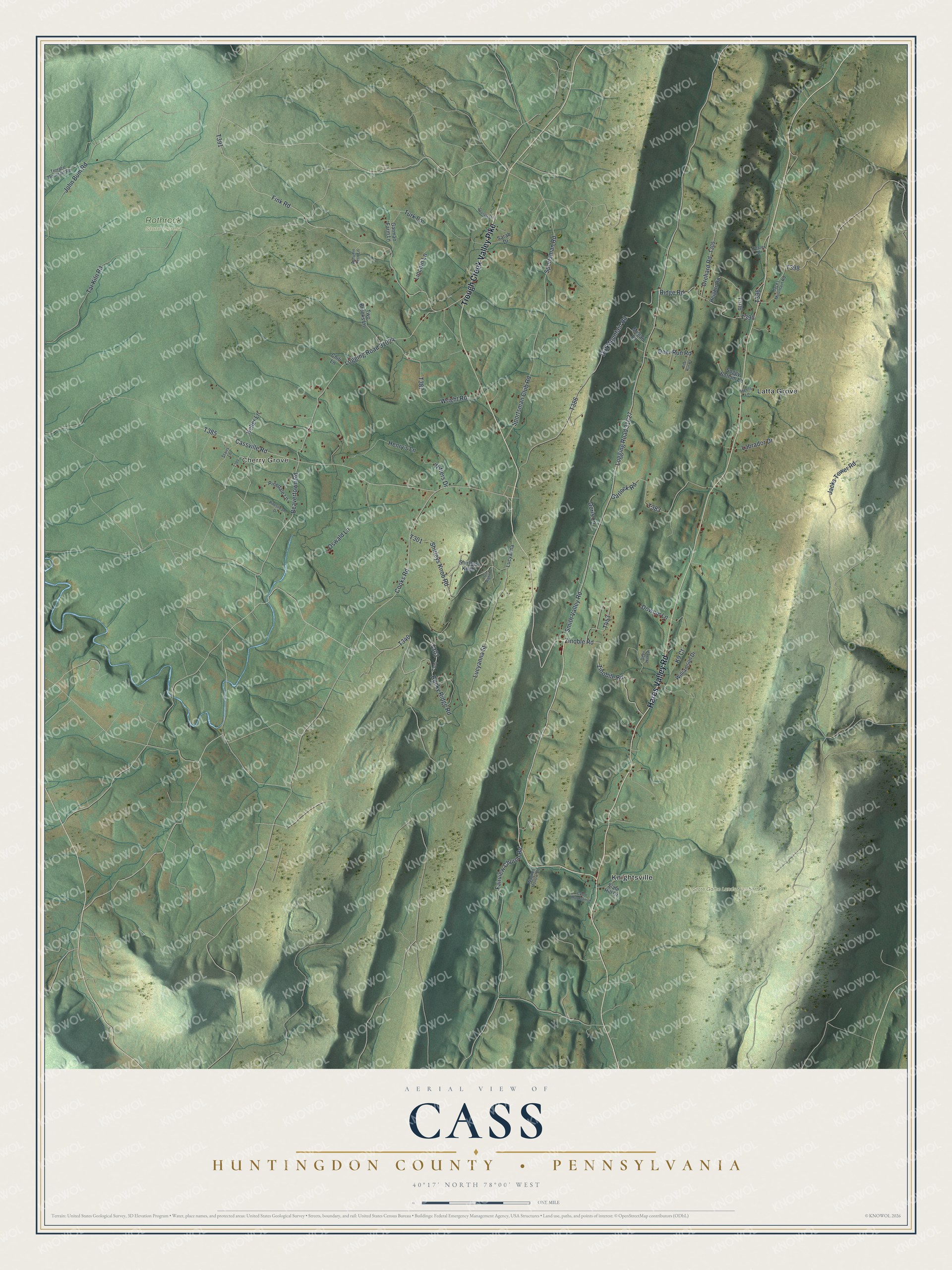
This beautifully detailed map of Cass, Huntingdon County, Pennsylvania was created in 2026 using aerial imagery combined with modern topographical, census, street and landmark data. It's a modern aerial view of Cass, Huntingdon County in Huntingdon County, Pennsylvania, that combines modern data with a vintage aesthetic. The roads feature printed names, and if you look closely you can find your exact house accurately shown in its correct location.
Explore an aerial view of Cass, Huntingdon County, Pennsylvania
On this map you'll find Cherry Grove, Rothrock State Forest, State Game Lands Number 99, Knightsville, Latta Grove, Trough Creek Valley Pike, Hares Valley Road, T340, Rocky Ridge Road, T303, T391, Fink Road, and more. Each red shape is a building, so zoom in on the preview and look for yours.
Here is a piece of Cass, Huntingdon County history, in the words of the record. The Cass Township puts it this way: "Gideon Bast at the Big Whiteash colliery in Cass Township built the first successful coal breaker, a processing plant that crumbles coal from the mines into pieces of uniform size, in 1843."
Cass, Huntingdon County is a place in Huntingdon County. The Census Bureau counted 1,018 people here in 2020.
Take a closer look at the Cass, Huntingdon County map
Names on this map
These names are printed on this map.
Places: Cherry Grove, Rothrock State Forest, State Game Lands Number 99, Knightsville and Latta Grove.
Streets and roads: Trough Creek Valley Pike, Hares Valley Road, Rocky Ridge Road, Fink Road, Zinoble Road, Smith Valley Road, Beavertown Road, Shirleys Knob Road, Logging Road 31027, Tar Kiln Road, Dirt Mountain Road, Cassville Road.
More street names, A to Z
Autumn Fern Lane, Bear Run Road, Castle Mountain Lane, Chili Lane, Cooks Road, Deer Hill Lane, Deer Run Road, Do Right Lane, Doris Lane, Downin Lane, Fairview Church Road, Fetzer Lane, Garlock Road, Garman Farm Lane, Heights Road, Henry's Lane, Jacks Mountain Road, Jacks Tower Road, John Bum Road, K9 Court, Keller Lane, Labrador Drive, Lincoln Lane, Logging Road 31024, Lucyanna, Lucyanna Street, Megan Lane, Orchard Road, Oswald Lane, Pinedale Lane, Pinestream Drive, Ridge Road, Sarah Drive, Shirleys Knob, Slate Hill Drive, Soggy Bottom Lane, Spangler Lane, Sportsman Club Road, Sportsman Road, Stairs Lane, Steels Lane, Terrace Mountain Road, Turk Lane, Two Brooks Lane, Wagner Hollow Lane, Williamson Drive, Witters Drive, Wright Road, Zinobile Road.
Created by KNOWOL in 2026. The buildings are small red shapes, the roads carry their printed names, and shaded relief shows the shape of the land. The title panel reads "AERIAL VIEW OF CASS HUNTINGDON COUNTY • PENNSYLVANIA" with 4, 0, °, 1, 7, ', , N, O, R, T, H, , 7, 8, °, 0, 0, ', , W, E, S, T.
It suits a den, a classroom or a front hall, and it makes a gift for anyone with Cass, Huntingdon County roots. Open the preview and find the block you know. See sizes and frames for the Cass, Huntingdon County map.