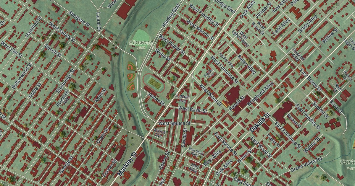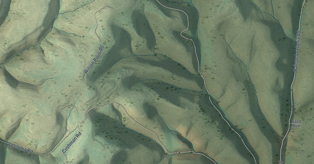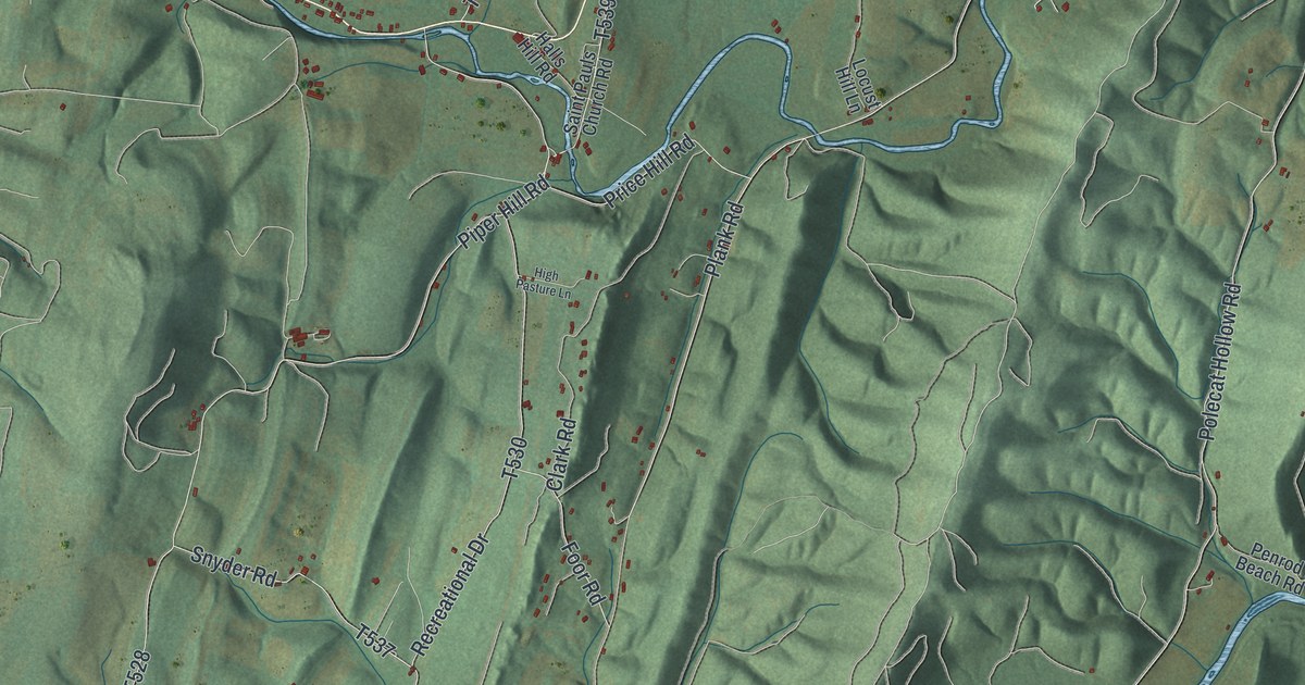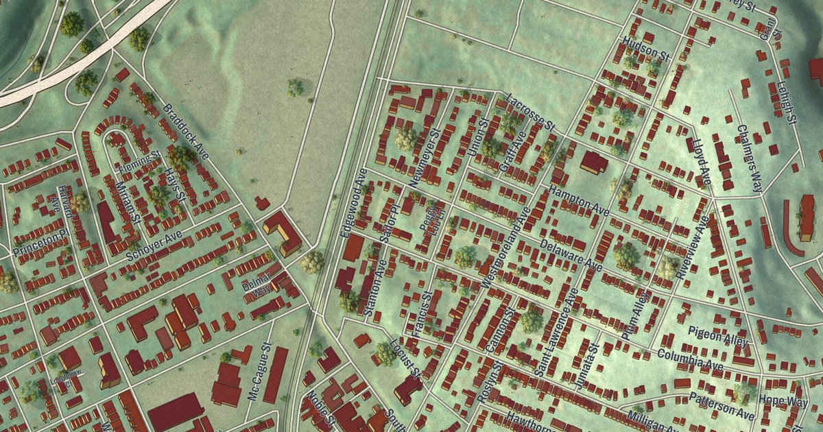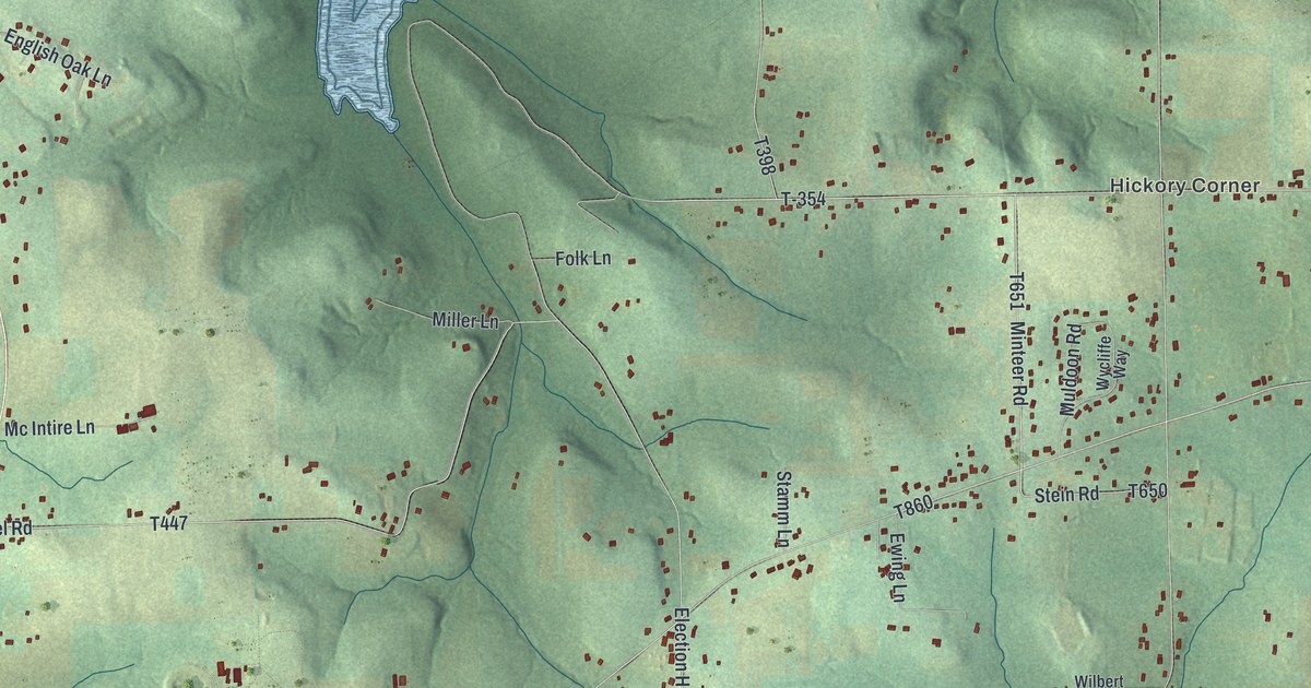
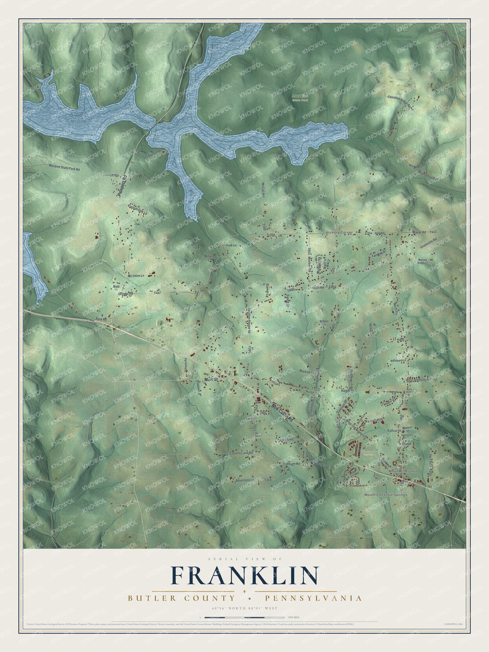
This beautifully detailed map of Franklin, Butler County, Pennsylvania was created in 2026 using aerial imagery combined with modern topographical, census, street and landmark data. It's a modern aerial view of Franklin, Butler County in Butler County, Pennsylvania, that combines modern data with a vintage aesthetic. The roads feature printed names, and if you look closely you can find your exact house accurately shown in its correct location.
Explore an aerial view of Franklin, Butler County, Pennsylvania
On this map you'll find Mount Chestnut, Mount Chestnut Springs, Hickory Corner, Greenlawn Cemetery, Moraine State Park, New Castle Road, Prospect Road, Main Street, North Road, Isle Road, Park Road, T355, and more. Each red shape is a building, so zoom in on the preview and look for yours.
Franklin, Butler County has a story worth telling. The Internet Archive puts it this way: "James JefTerson, a nomad and a great hunter, was a contemporary of the settlers oi' 1798, as were William and John Dick and Tobias Stephenson. Adam Albert located in Franklin township in 1799, and may be called the pioneer of Lutheranism in this county."
Franklin, Butler County is a place in Butler County. The Census Bureau counted 2,598 people here in 2020.
Take a closer look at the Franklin, Butler County map
Names on this map
These names are printed on this map.
Places: Mount Chestnut, Mount Chestnut Springs, Hickory Corner, Greenlawn Cemetery and Moraine State Park.
Streets and roads: New Castle Road, Prospect Road, Main Street, North Road, Isle Road, Park Road, T-354, Minteer Road, Unionville Road, T-833, Youkers Road, Chestnut Ridge Road.
More street names, A to Z
Acton Lane, Adventure Lane, Albert Lane, Andrews Trce, Barnes Ridge Lane, Breese Lane, Brigham Lane, Cashdollar Lane, Country Club Road, Country Lane Road, Dick Road, Election House Road, English Oak Lane, Ewing Lane, Fairway Drive, Folk Lane, Franklin Oaks Drive, Grindel Road, Hermitage Road, Hewitt Lane, John Deere Lane, Markirk Lane, Maser Road, McCall Road, McConnell Drive, Mc Intire Lane, Miller Lane, Moraine State Park Road, Mount Zion Baptist Church Road, Muldoon Road, Nazarene Lane, Patriot Lane, Pflugh Road, Purvis Road, Rapp Lane, Ridge Road, Rieger Road, Schantz Road, Shadow Lane, Stamm Lane, Stein Road, Swamp Run Road, Tiffany Lane, Troll Creek Lane, Village Drive, West Brewster Road, West Old Route 422, Westward Lane, Whipporwill Road, Whitetail Lane, Wilbert Lane, Woodhawk Lane, Wycliffe Way.
Created by KNOWOL in 2026. The buildings are small red shapes, the roads carry their printed names, and shaded relief shows the shape of the land. The title panel reads "AERIAL VIEW OF FRANKLIN BUTLER COUNTY • PENNSYLVANIA" with 4, 0, °, 5, 6, ', , N, O, R, T, H, , 8, 0, °, 0, 1, ', , W, E, S, T.
It looks right in a kitchen, an office or a den, and it's a gift for anyone who grew up in Franklin, Butler County or moved away. Open the preview and find your street. See sizes and frames for the Franklin, Butler County map.