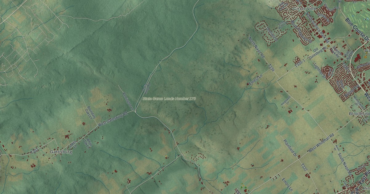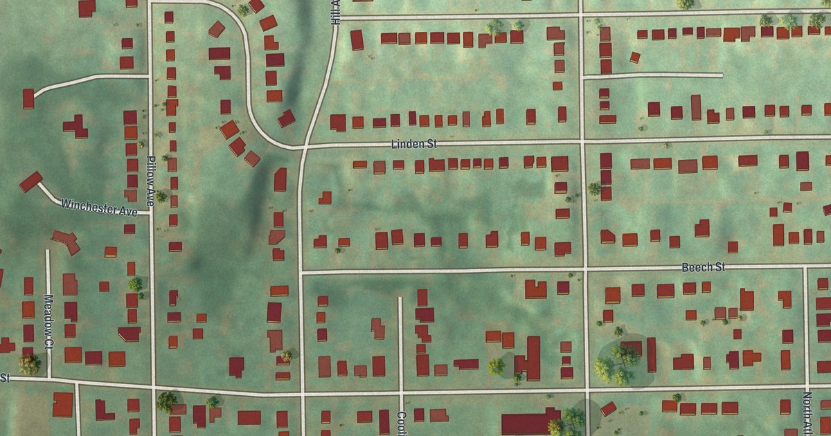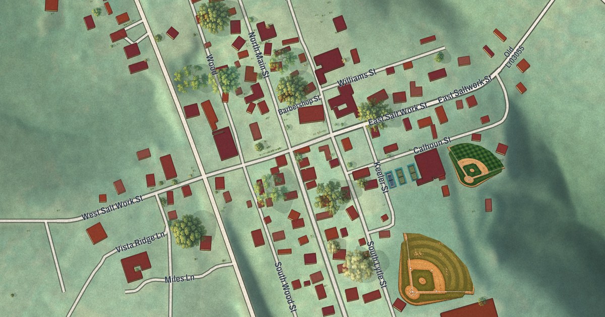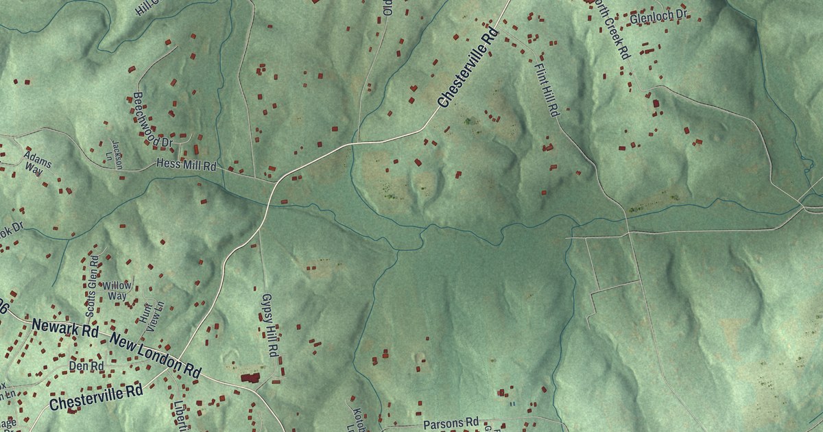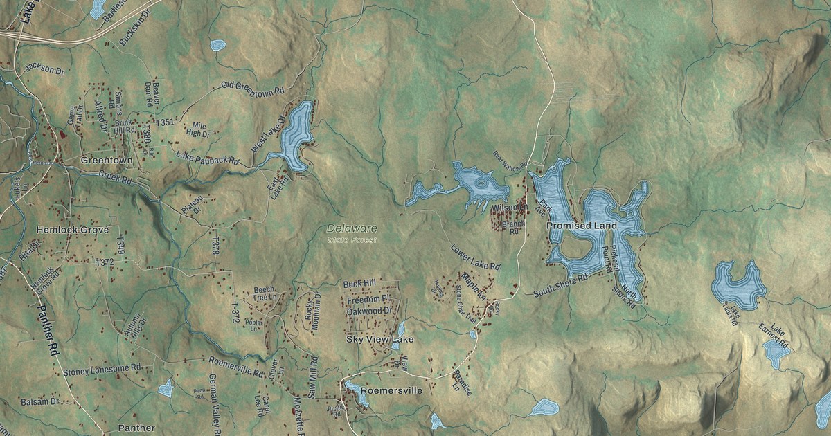
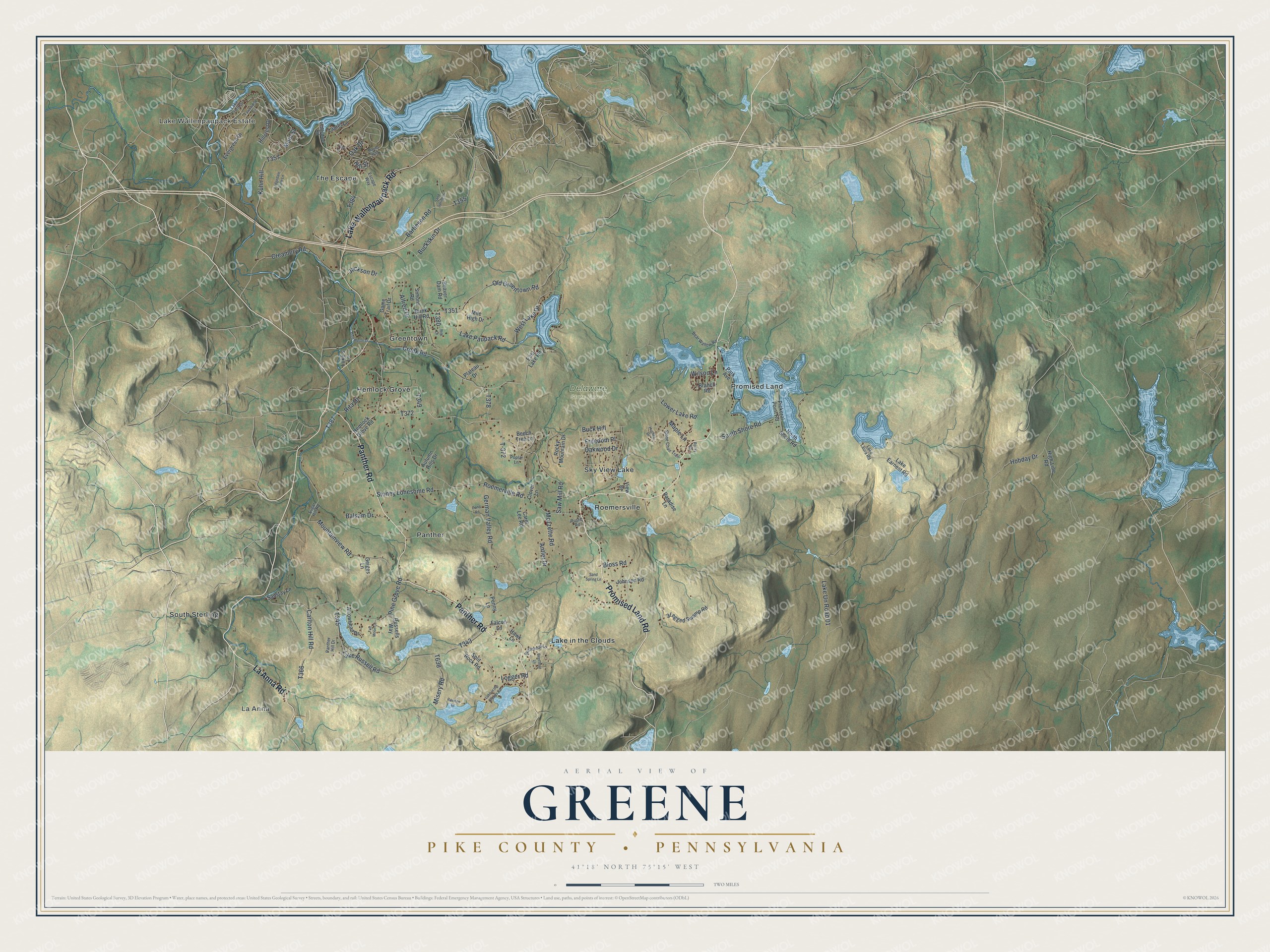
This beautifully detailed map of Greene, Pike County, Pennsylvania was created in 2026 using aerial imagery combined with modern topographical, census, street and landmark data. It's a modern aerial view of Greene, Pike County in Pike County, Pennsylvania, that combines modern data with a vintage aesthetic. The roads feature printed names, and if you look closely you can find your exact house accurately shown in its correct location.
Explore an aerial view of Greene, Pike County, Pennsylvania
On this map you'll find Lake Wallenpaupack Estate, La Anna, Delaware State Forest, Greentown, Hemlock Grove, Lake in the Clouds, Panther, Promised Land, Roemersville, Sky View Lake, South Sterling, The Escape, and more. Each red shape is a building, so zoom in on the preview and look for yours.
Greene, Pike County has a story worth telling. The PA Roots puts it this way: "William Hebberling, John Kindt, Frederick Klein, Charles Augenstein, Anthony Roemer and a number of other Germans and Frenchmen have helped to clear and improve Greene township. William Banks came from England to Greene in 1843, and settled on the Howe & Elliott tract, near Sugar Hill."
Greene, Pike County is a place in Pike County. The Census Bureau counted 3,452 people here in 2020.
Take a closer look at the Greene, Pike County map
Names on this map
These names are printed on this map.
Places: Lake Wallenpaupack Estate, La Anna, Delaware State Forest, Greentown, Hemlock Grove, Lake in the Clouds, Panther, Promised Land, Roemersville, Sky View Lake, South Sterling and The Escape.
Streets and roads: Promised Land Road, Panther Road, La Anna Road, Lake Wallenpaupack Road, Bartleson Road, Mountainview Road, Pine Grove Road, Roemerville Road, Saw Mill Road, Lake Un Road 01, Lake Russell Road, Lake Paupack Road.
More street names, A to Z
3 Legged Swamp Road, Alfred Drive, Antler Drive, Arrowhead Drive, Autumn Hills Drive, Balsam Drive, Bear Wallow Road, Beaver Dam Road, Beechnut Lane, Beech Tree Lane, Bloss Road, Blue Heron Drive, Branch Road, Brink Hill Road, Buck Hill, Buckskin Drive, Butternud Lane, Carlton Hill Road, Carol Lee Road, Clover Lane, Creamery Road, Creek Road, East Lake Road, Escape Way, Evergreen Drive, Falcon Lane, Fawnwood Circle, Freedom Place, Full Moon Lane, Game Trail Drive, Geiges Lane, German Valley Road, Hawk Lane, Hemlock Grove Road, High-Line Road, Hillcrest Drive, Hill Street, Hobday Drive, Hughes Drive, Jackson Drive, Johnson Road, Kuhn Hill, Lake Earnest Road, Lake Front Drive, Lake in the Clouds Road, Lake Laura Road, Laurel Lane, Ledgedale Farm Lane, Ledgedale Road, Logger Road, Lower Lake Road, Luke's Lane, Main Street, Maple Lane, Marina Way, Mile High Drive, Misery Road, Mozzette Road, North Shore Road, Oak Drive, Oakwood Drive, Old Greentown Road, Panther Hill Drive, Paradise Lane, Park Avenue, Pawnee Drive, Penny Lane, Pickeral Point Road, Plateau Drive, Pond Road, Poplar Lane, Rile Lane, Rita Drive, Rocky Mountain Drive, Rocky Road, Russells Way, Rustic Road, Sand Spring Drive, Sand Spring Lane, Sanstay Lane, Simons Road, South Shore Road, Split Rock Road, Stone Chair Trail, Stoney Lonesome Road, Sugar Hill Road, T-372, Teak Drive, View Drive, West Lake Drive, Wilson Lane.
Created by KNOWOL in 2026. The buildings are small red shapes, the roads carry their printed names, and shaded relief shows the shape of the land. The title panel reads "AERIAL VIEW OF GREENE PIKE COUNTY • PENNSYLVANIA" with 4, 1, °, 1, 8, ', , N, O, R, T, H, , 7, 5, °, 1, 5, ', , W, E, S, T.
It looks right in a kitchen, an office or a den, and it's a gift for anyone who grew up in Greene, Pike County or moved away. Open the preview and find your street. See sizes and frames for the Greene, Pike County map.