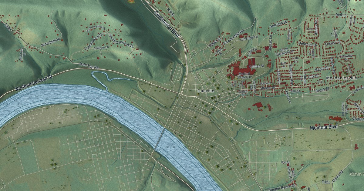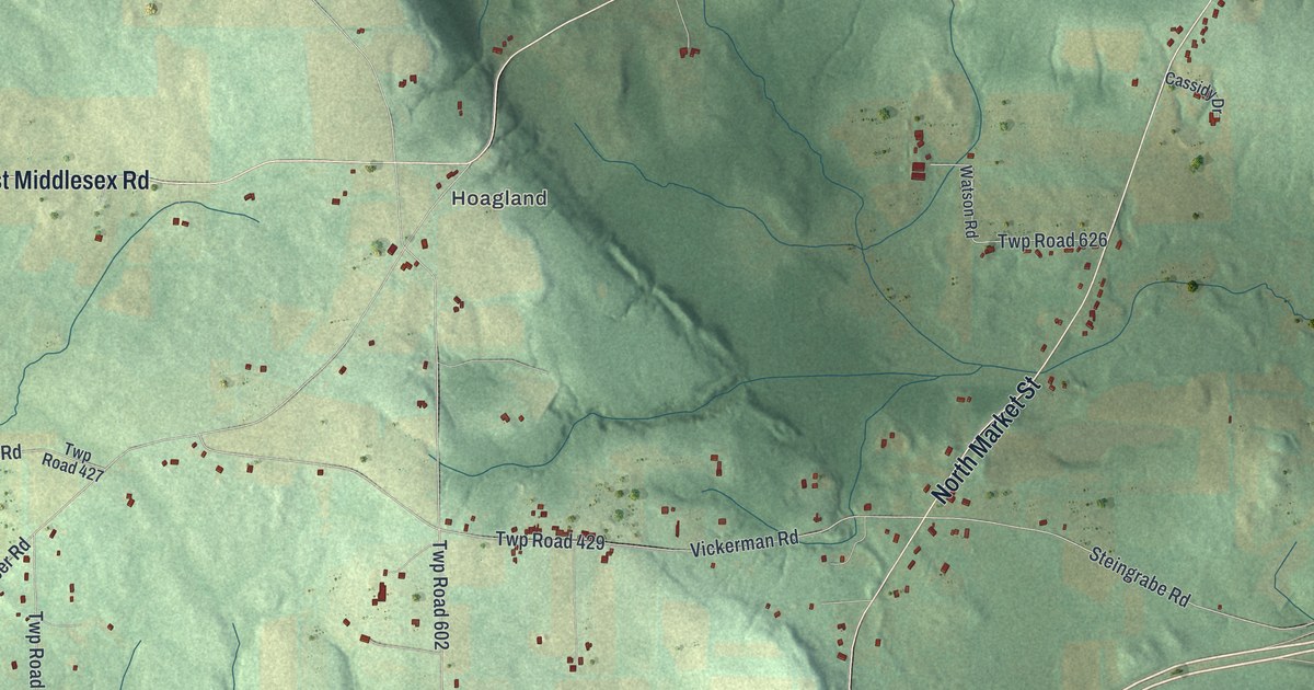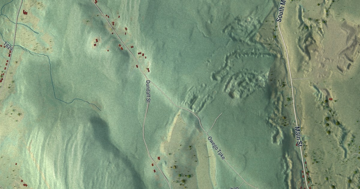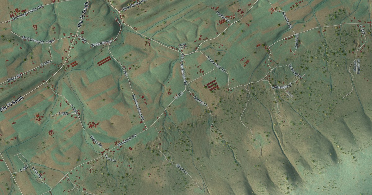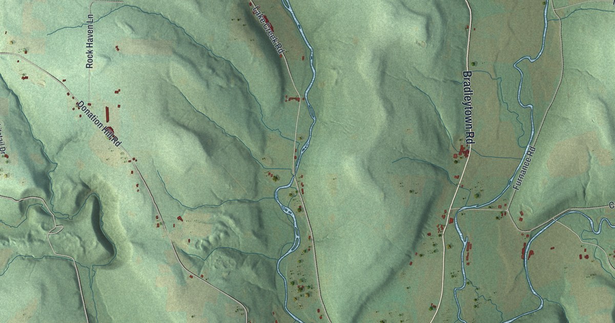
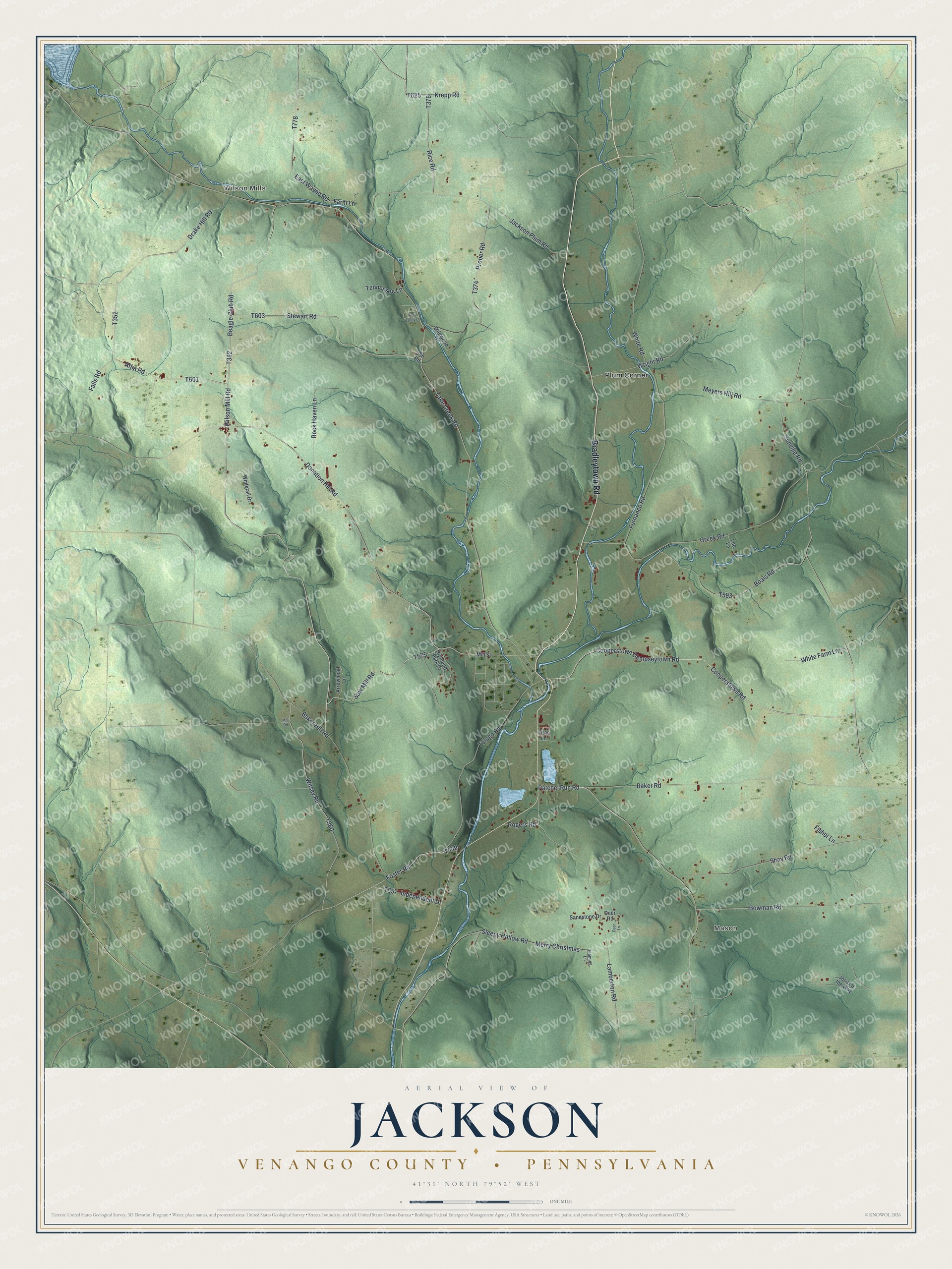
This beautifully detailed map of Jackson, Venango County, Pennsylvania was created in 2026 using aerial imagery combined with modern topographical, census, street and landmark data. It's a modern aerial view of Jackson, Venango County in Venango County, Pennsylvania, that combines modern data with a vintage aesthetic. The roads feature printed names, and if you look closely you can find your exact house accurately shown in its correct location.
Explore an aerial view of Jackson, Venango County, Pennsylvania
On this map you'll find Wilson Mills, Mason, Plum Corner, Bradleytown Road, Cooperstown Dempseytown Road, Cooperstown Road, Falls Road, T601, Atha Road, T362, Beagle Club Road, T352, and more. Each red shape is a building, so zoom in on the preview and look for yours.
Here is a piece of Jackson, Venango County history, in the words of the record. The Venango County History puts it this way: "THE contiguous portions of Plum, Oakland, Canal, and Sugar Creek were formed into the township of Jackson in 1845. It is bounded on the north by Plum, on the east by Oakland, on the south by Sugar Creek, on the west by Canal, and on the northwest by Crawford county."
Jackson, Venango County is a place in Venango County. The Census Bureau counted 917 people here in 2020.
Take a closer look at the Jackson, Venango County map
Names on this map
These names are printed on this map.
Places: Wilson Mills, Mason and Plum Corner.
Streets and roads: Bradleytown Road, Cooperstown Dempseytown Road, Cooperstown Road, Falls Road, Atha Road, Beagle Club Road, Wilson Mill Road, Patchel Run Road, Saw Mill Road, Wilsey Road, Lamberton Road, Creek Road.
More street names, A to Z
Arrowhead Lane, Baker Hill Road, Baker Road, Boals Road, Bowman Road, Deer Lane, Deer Road, Donation Hill Road, Drake Hill Road, East Wayne Road, Farm Lane, Fisher Lane, Fleming Lane, Foster Road, Furnance Road, Highland Park Drive, Independent Drive, Jackson Plum Road, Jesus Is the Way, Jon Road, Krepp Road, Lake Creek Road, Lee Lane, Merry Christmas, Meyers Hill Road, Mill Road, Mill Street, Pine Valley Lane, Proper Road, Rice Road, Rock Haven Lane, Rogers Road, Sandstone Drive, Shay Road, Sleepy Hollow Road, Stewart Road, Sunville Road, Tennessee Lane, Titan Lane, Tologo Road, White Farm Lane, White Road, Whitetail Drive, Wildwood Drive, Wright Road.
Created by KNOWOL in 2026. The buildings are small red shapes, the roads carry their printed names, and shaded relief shows the shape of the land. The title panel reads "AERIAL VIEW OF JACKSON VENANGO COUNTY • PENNSYLVANIA" with 4, 1, °, 3, 1, ', , N, O, R, T, H, , 7, 9, °, 5, 2, ', , W, E, S, T.
It suits a den, a classroom or a front hall, and it makes a gift for anyone with Jackson, Venango County roots. Open the preview and find the block you know. See sizes and frames for the Jackson, Venango County map.