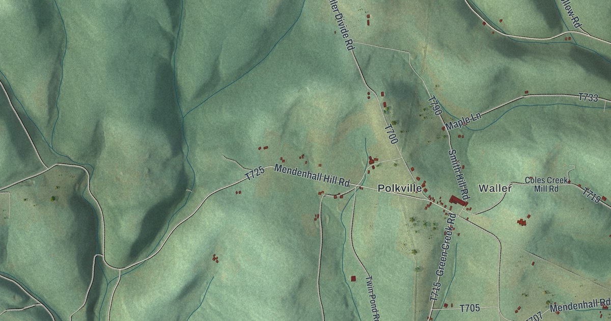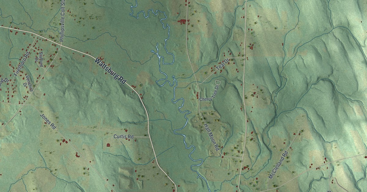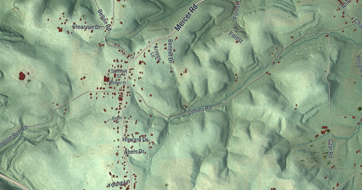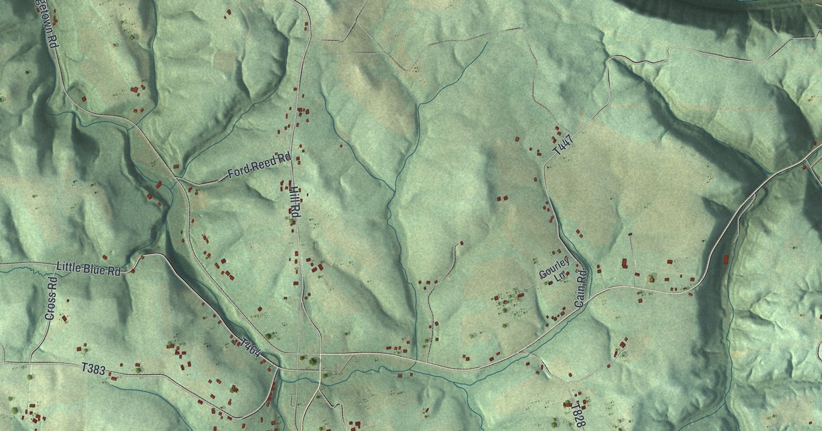
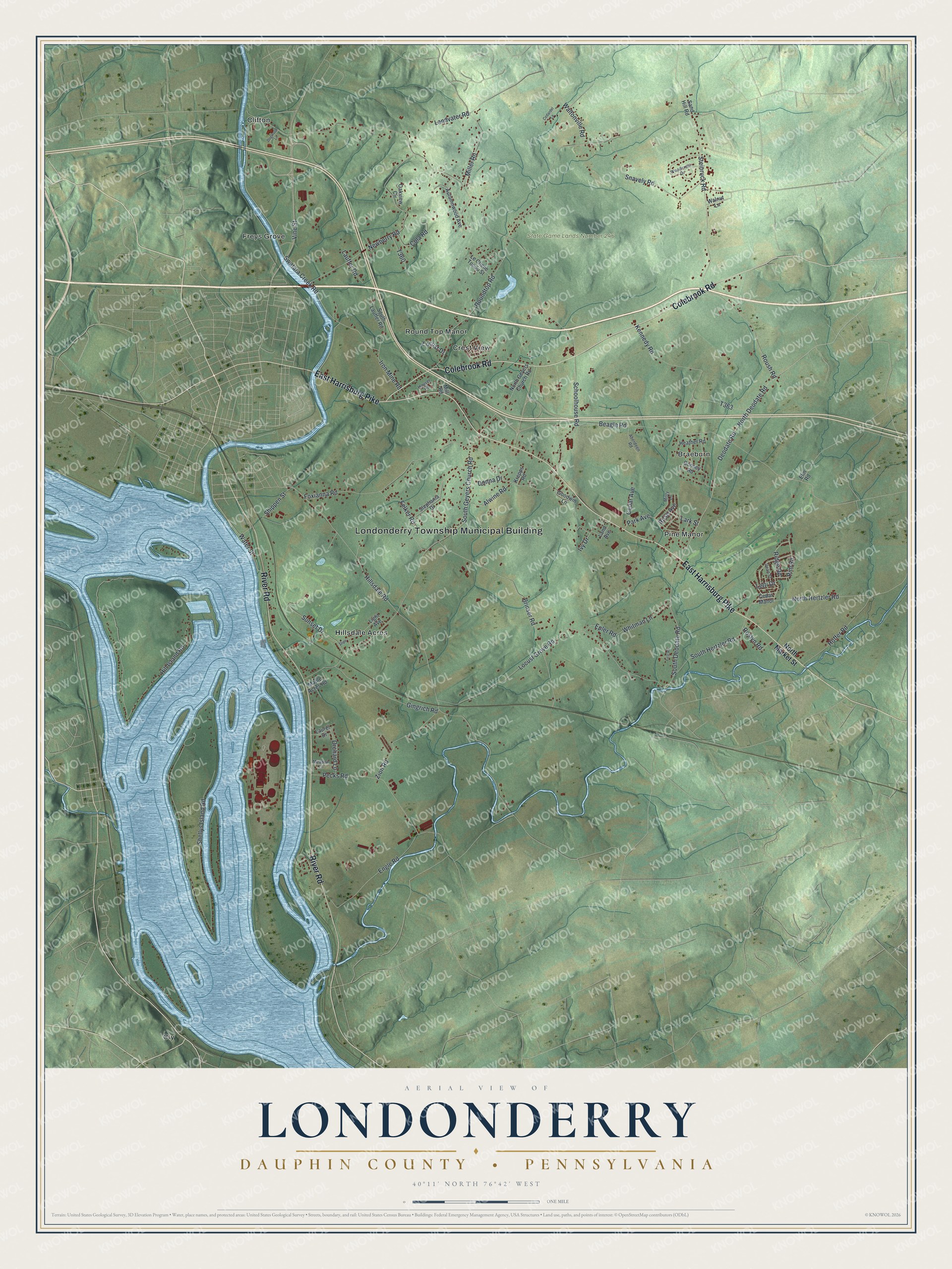
This beautifully detailed map of Londonderry, Dauphin County, Pennsylvania was created in 2026 using aerial imagery combined with modern topographical, census, street and landmark data. It's a modern aerial view of Londonderry, Dauphin County in Dauphin County, Pennsylvania, that combines modern data with a vintage aesthetic. The roads feature printed names, and if you look closely you can find your exact house accurately shown in its correct location.
Explore an aerial view of Londonderry, Dauphin County, Pennsylvania
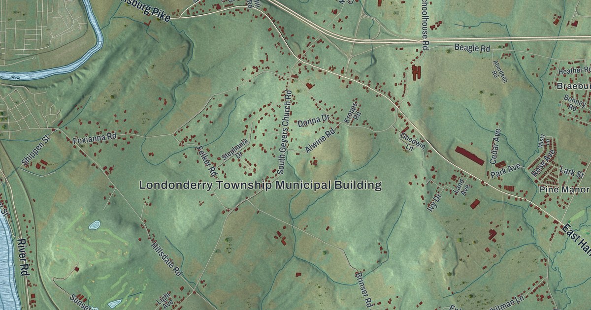
On this map you'll find Londonderry Township Municipal Building, State Game Lands Number 246, Braeburn, Clifton, Cly, Crest View, Freys Grove, Hillsdale Acres, Pine Manor, Round Top Manor, River Road, East Harrisburg Pike, and more. Each red shape is a building, so zoom in on the preview and look for yours.
Londonderry, Dauphin County has a story worth telling. The Londonderry Township puts it this way: "The first group of European settlers was a small group of Scotch-Irish immigrants, who named Londonderry for a town in Ireland. Generally, early English settlers followed two routes: 1) up the Elk River and south from Octoraro Creek and 2) over the hills of what is now Highland Township."
Londonderry, Dauphin County is a place in Dauphin County. The Census Bureau counted 4,899 people here in 2020.
Take a closer look at the Londonderry, Dauphin County map
Names on this map
These names are printed on this map.
Places: Londonderry Township Municipal Building, State Game Lands Number 246, Braeburn, Clifton, Cly, Crest View, Freys Grove, Hillsdale Acres, Pine Manor and Round Top Manor.
Streets and roads: River Road, East Harrisburg Pike, Colebrook Road, Vine Street, North Hertzler Road, Shellys Island Road, Schoolhouse Road, Hillsdale Road, Roundtop Road, South Geyers Church Road, Hill Island Road, Foxianna Road.
More street names, A to Z
Aberdeen Road, Alwine Road, Autumnwood Avenue, Beagle Road, Bonney Road, Brinser Road, Cedar Avenue, Cedardel Lane, Cedar Manor, Cola Road, Dean Street, Deodate Road, Dogwood Lane, Donna Drive, Elm Road, Engle Road, Epler Road, Felker Road, First Road, Gingrich Road, Goodwin Lane, Heather Road, Hoffer Road, Houser Road, Iron Mine Road, Ivy Drive, Kennedy Road, Krepps Road, Land Avenue, Landvater Road, Lark Street, Lauffer Road, Laurel Drive, Le Chene Tondu Street, Letti Drive, Light Avenue, Locust Drive, Locust Grove Road, Maple Acres Road, Meadow Lane, Miller Road, Mill Road, Misty Lane, Newberry Road, North Deodate Road, North Geyers Church Road, North Market Street, Oakview Circle, Orchard Lane, Park Avenue, Pecks Road, Ridge Road, Rim Road, Rose Avenue, Roslyn Road, Roush Road, Sand Hill Road, Shippen Street, Snavely Road, South Deodate Road, South Hertzler Road, South Lauffer Road, Steinruck Road, Stephania Drive, Stipe, Sunset Drive, Swatara Creek Road, Walnut Lane, Waltonville Road, Water Street, Whitman Lane, Woodcrest Drive, Zion Road.
Created by KNOWOL in 2026. The buildings are small red shapes, the roads carry their printed names, and shaded relief shows the shape of the land. The title panel reads "AERIAL VIEW OF LONDONDERRY DAUPHIN COUNTY • PENNSYLVANIA" with 4, 0, °, 1, 1, ', , N, O, R, T, H, , 7, 6, °, 4, 2, ', , W, E, S, T.
It looks right in a kitchen, an office or a den, and it's a gift for anyone who grew up in Londonderry, Dauphin County or moved away. Open the preview and find your street. See sizes and frames for the Londonderry, Dauphin County map.