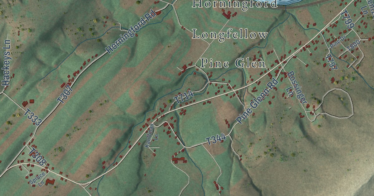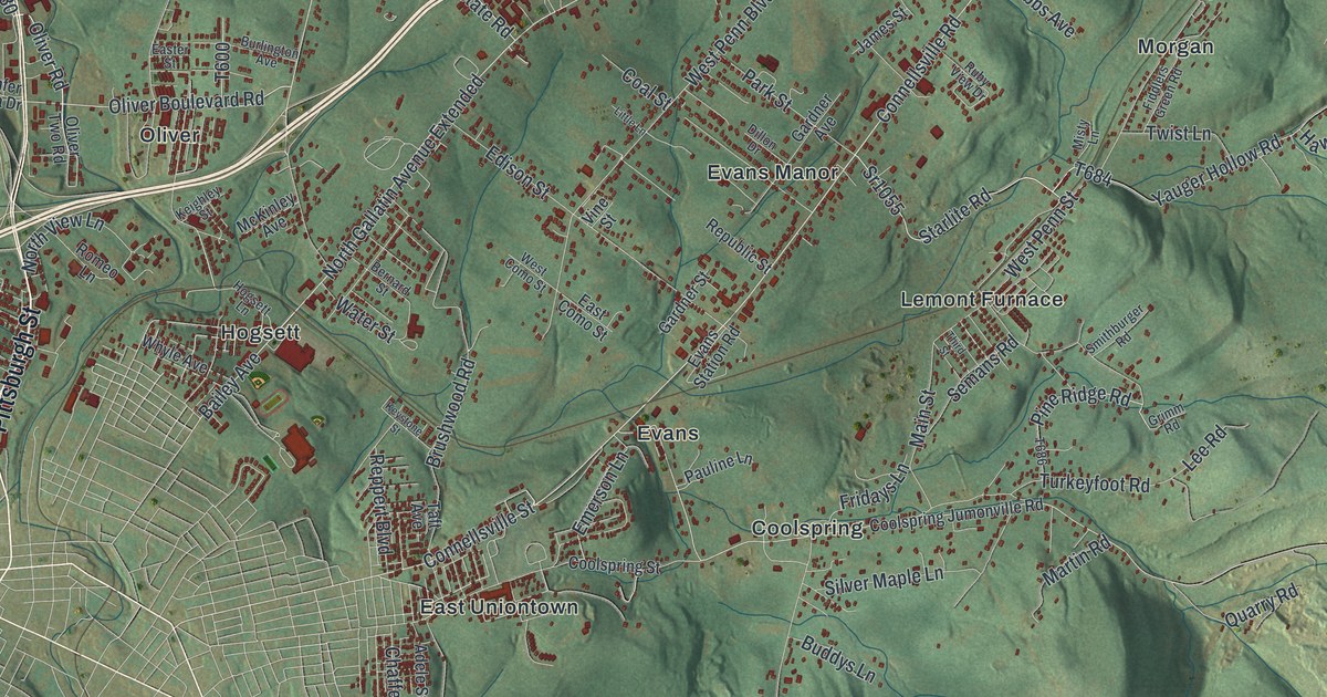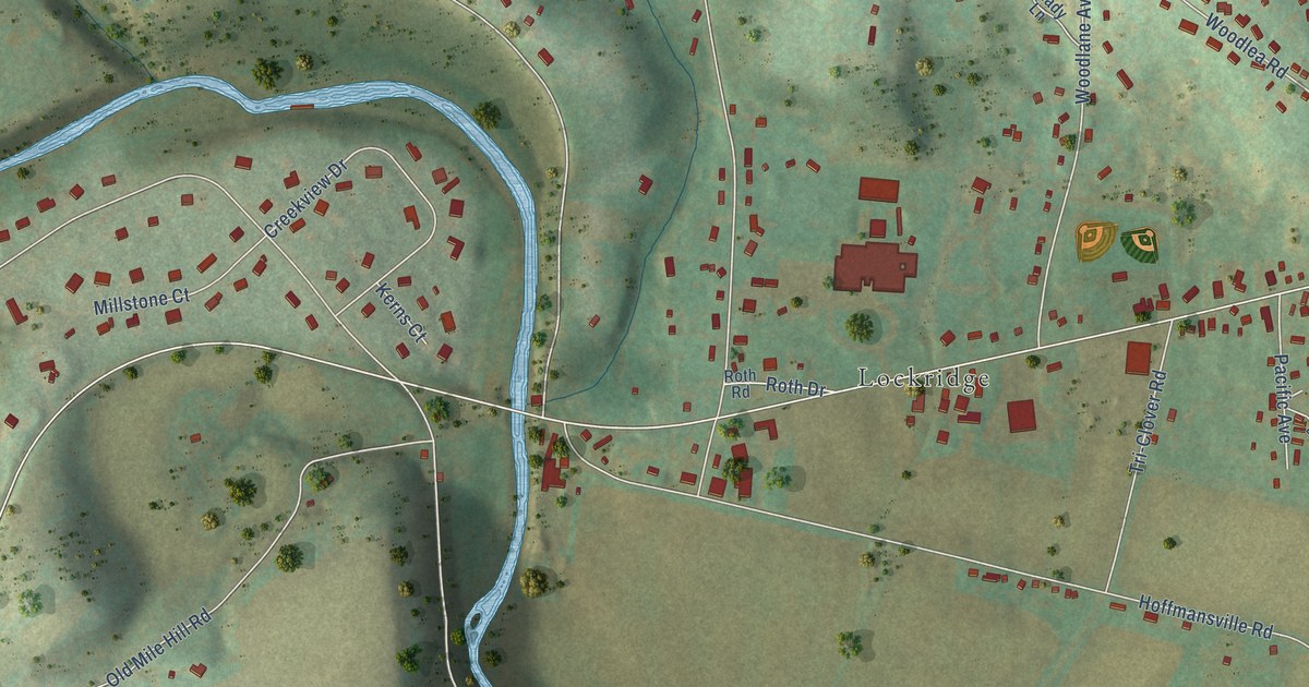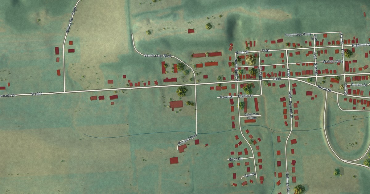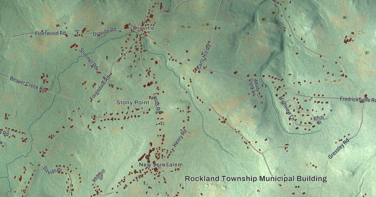
This beautifully detailed map of Rockland, Berks County, Pennsylvania was created in 2026 using aerial imagery combined with modern topographical, census, street and landmark data. It’s a one-of-a-kind view of Rockland that combines accurate data with a vintage aesthetic. The map shows every building in its true location, many of the roads carry their names, and the shaded topographic relief shows the shape of the land.
Explore an aerial view of Rockland, Berks County, Pennsylvania
On the map you’ll find Rockland Township Municipal Building, Five Points, Boyers Junction, Dryville, New Jerusalem, Sally Ann, and Stony Point, along with Main Street, Fredricksville Road, Ruppert School Road, Lyons Road, Lake Road, and more. If you look closely you can even find your house accurately drawn in its correct location. Zoom in on the preview to look for yours.
Did you know this piece of Rockland, Berks County, Pennsylvania history?
From the 1886 History of Berks county in Pennsylvania: "In a draft of Rockland township, made in 1758, it is referred to as Long Swope, and mentioned as no township. The foregoing assessment list indicates that the district was recognized, though not yet regularly established."
Take a closer look at the Rockland, Berks County map
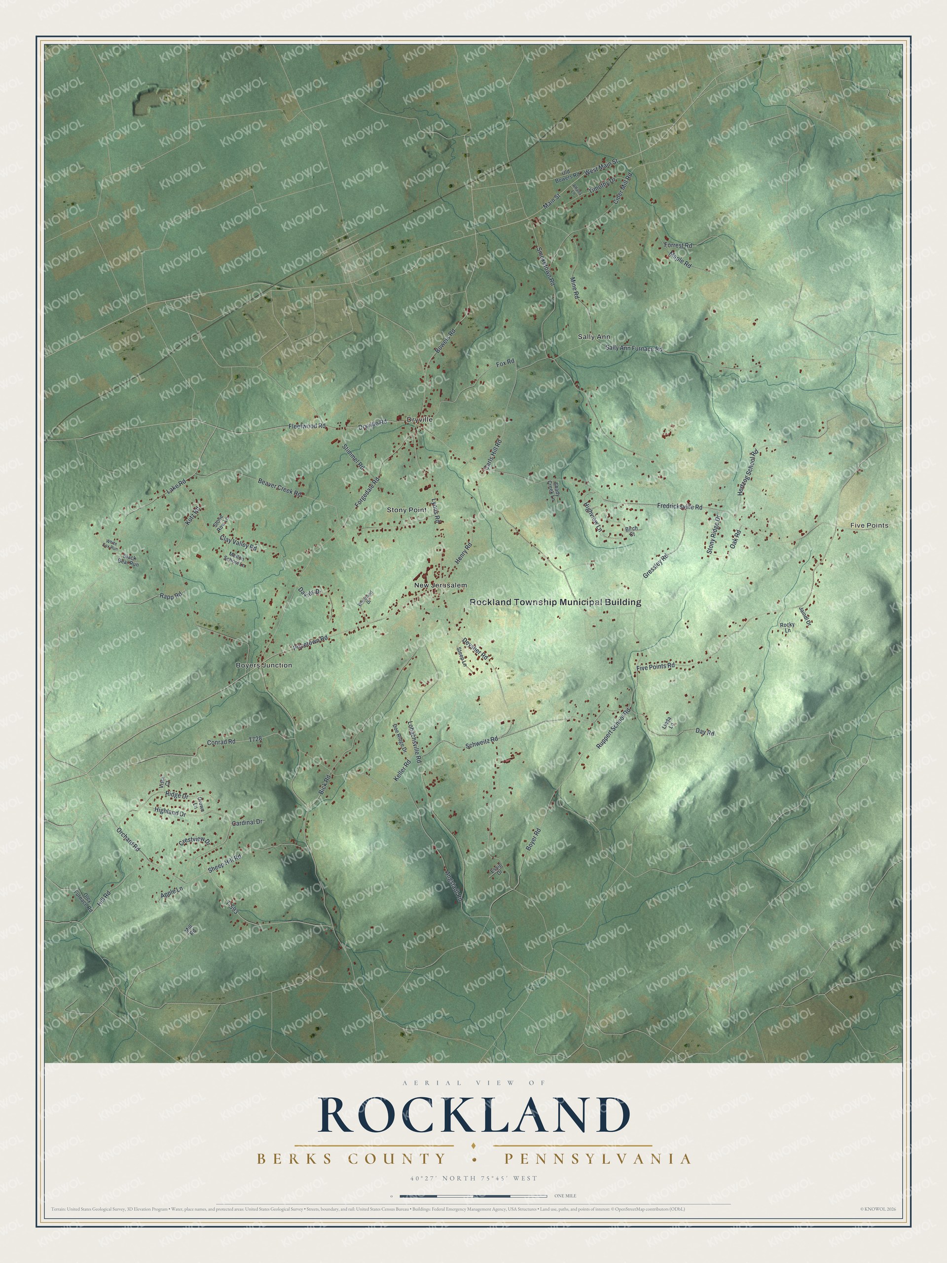
Street and place names on the Rockland, Berks County, Pennsylvania map
These names are printed on the map of Rockland, Berks County, Pennsylvania.
Places: Rockland Township Municipal Building, Five Points, Boyers Junction, Dryville, New Jerusalem, Sally Ann and Stony Point.
Streets and roads: Main Street, Fredricksville Road, Ruppert School Road, Lyons Road, Lake Road, Fleetwood Road, Pricetown Road, Forgedale Road, Schweitz Road, Smoketown Road, Five Points Road, Lobachsville Road.
More street names, A to Z
Alfalfa Lane, Angstadt Road, Apple Lane, Beaver Creek Road, Bick Road, Birch Court, Black Bear Run, Bowers Road, Boyer Road, Cardinal Drive, Carls Hill Road, Cider Mill Road, Clay Valley Road, Conrad Road, Crestview Drive, Crown Lane, Davids Drive, Day Road, Deysher Road, Doe Ridge Drive, Dryville Road, Essig Drive, Forrest Road, Fox Road, Gressley Road, Henry Road, Hertzog School Road, Highland Drive, Highview Lane, Hill Road, Jaindl Drive, Keller Road, Kutz Road, Linda Lane, Maple Road, Mellon School Lane, Mill Road, Mine Road, Oak Road, Old Bowers Road, Oley Furnace Road, Orchard Road, Rapp Road, Ridge Drive, Rocky Lane, Sally Ann Furnace Road, Shady Creek Lane, Sheep Hill Road, Steep Lane, Stimmel Road, Stone Row Lane, Stony Ridge Drive, T-593, Timothy Drive, Vista Court, West Main Street, White Fox Run, Woodland Drive.
See the Rockland, Berks County, Pennsylvania map on a wall
The Rockland, Berks County map as an 18 x 24 inch print in a black frame.

This beautifully detailed map of Rockland, Berks County makes an attractive addition to your office, library, or den, and it can even be used to teach children the geography and history of the area. It also makes a great gift for someone who left Rockland and still calls it home. When you’re done exploring, click here to get your copy of the Rockland, Berks County map.