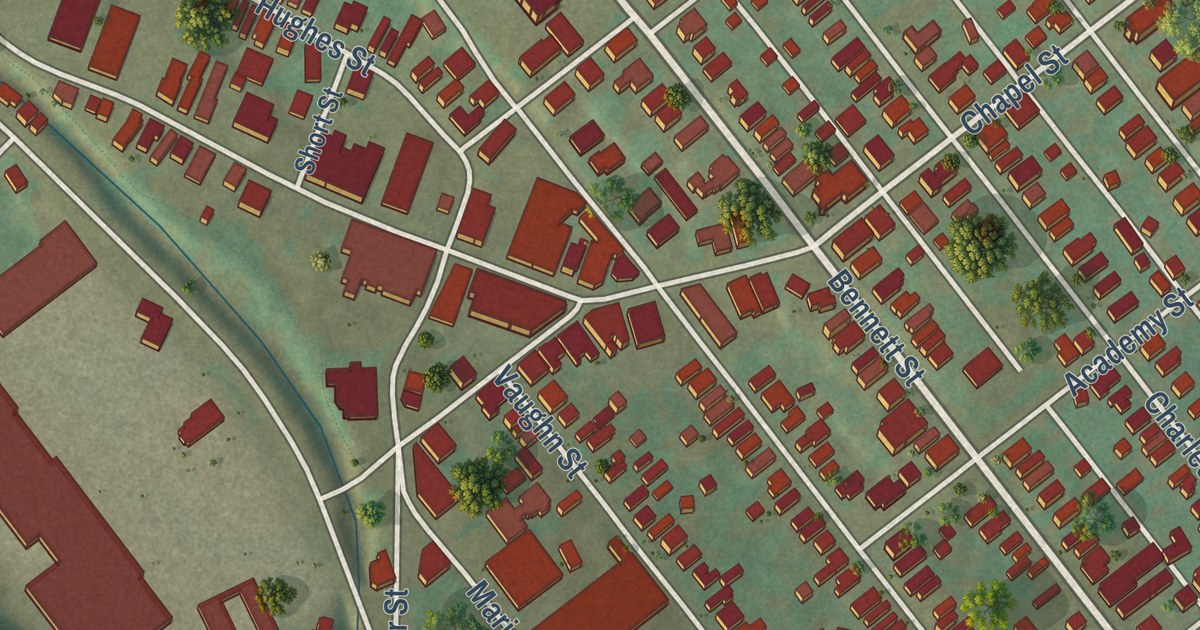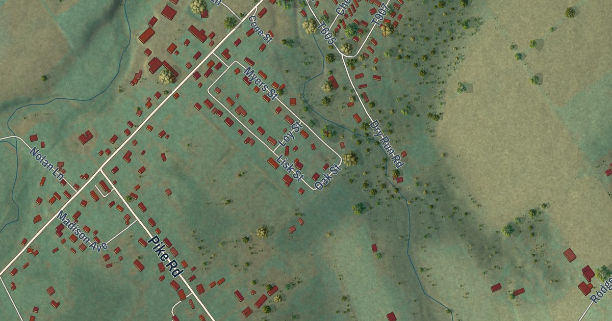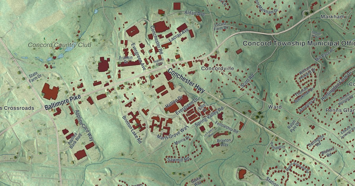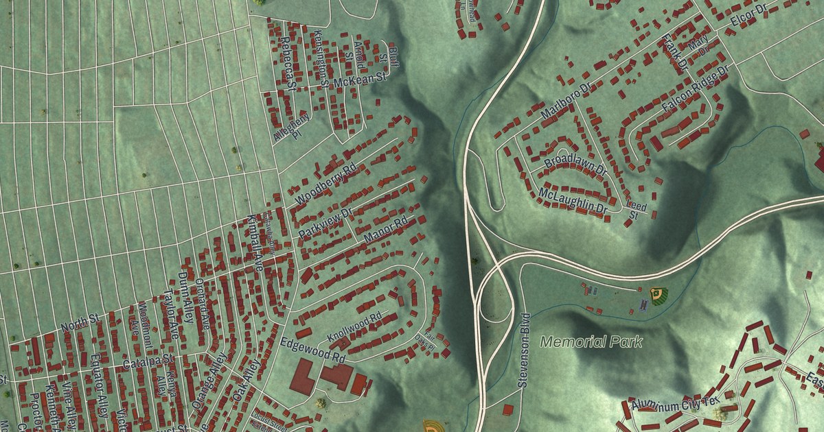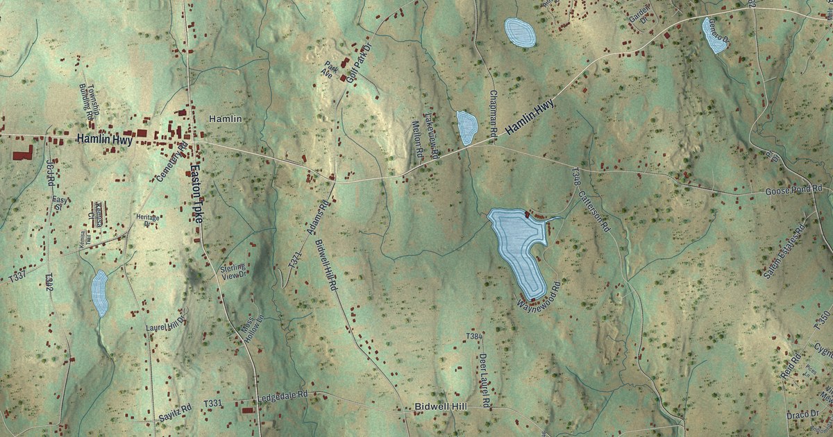
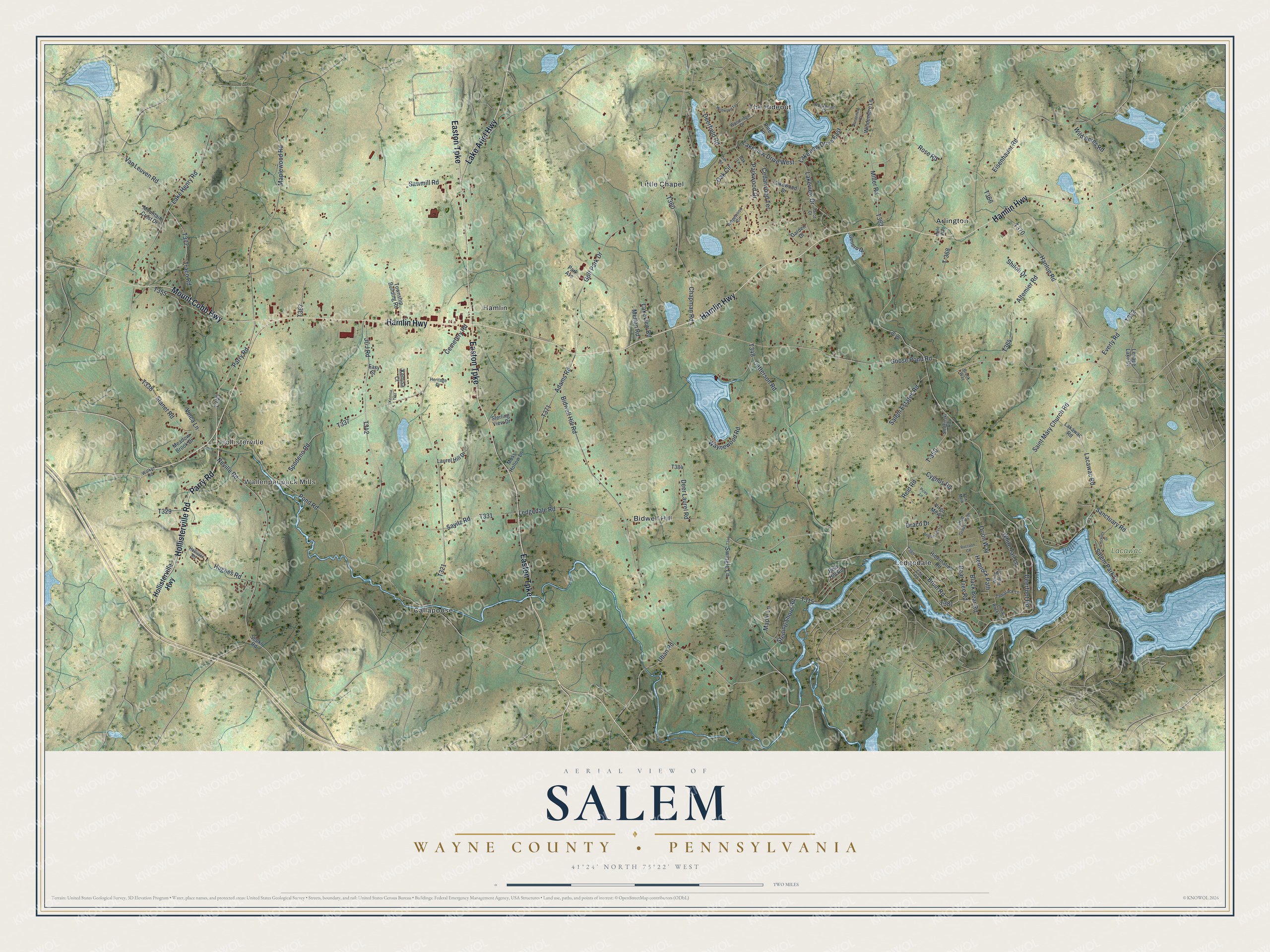
This beautifully detailed map of Salem, Wayne County, Pennsylvania was created in 2026 using aerial imagery combined with modern topographical, census, street and landmark data. It’s a one-of-a-kind view of Salem that combines accurate data with a vintage aesthetic. The map shows every building in its true location, many of the roads carry their names, and the shaded topographic relief shows the shape of the land.
Explore an aerial view of Salem, Wayne County, Pennsylvania
On the map you’ll find Hollisterville, Wallenpaupack Mills, Lacawac Sanctuary, Arlington, Bidwell Hill, Callapoose, Hamlin, Ledgedale, Little Chapel, and The Hideout, along with Parry Road, Hamlin Highway, and more. If you look closely you can even find your house accurately drawn in its correct location. Zoom in on the preview to look for yours.
Did you know this piece of Salem, Wayne County, Pennsylvania history?
From the Wayne County Historical Society: "Salem Township was established in 1808. It was taken from a portion of Canaan Township and Delaware Township, the latter becoming part of Pike County in 1814."
Take a closer look at the Salem, Wayne County map
Street and place names on the Salem, Wayne County, Pennsylvania map
These names are printed on the map of Salem, Wayne County, Pennsylvania.
Places: Hollisterville, Wallenpaupack Mills, Lacawac Sanctuary, Arlington, Bidwell Hill, Callapoose, Hamlin, Ledgedale, Little Chapel and The Hideout.
Streets and roads: Parry Road, Hamlin Highway, Hollisterville Road, Easton Turnpike, Mount Cobb Highway, Lake Ariel Highway, Bruin Road, Lakeview Drive, Lakeview Drive West, Uban Road, Neville Road, Van Leuven Road.
More street names, A to Z
Adams Road, Altemier Road, Andromeda Circle, Bear Hill Road, Bear Tree Road, Bidwell Hill Road, Black Bear Road, Brook Way, Catterson Road, Cedarwood Terrace, Cemetery Road, Chapman Road, Cub Road, Cygnus Road, Deerfield Road, Deerfoot Road, Deer Laurel Road, Draco Drive, Easy Street, Eisenhauer Road, Everly Road, Fox Mew, Garden Drive, Genero Drive, Golf Park Drive, Goose Pond Road, Hanlon Road, Hemlock Path, Heritage Drive, Hibernation Road, Hickory Drive, Hollister Road, Hollisterville Highway, Hughes Road, Indian Rocks Road, J&J Road, Kemisa Court, Kemisa Trail, Lacawac Road, Lakawac Road, Lake Henry Road, Lakeview Drive East, Lakeview Road, Lakewood Drive, Laurel Hill Drive, Ledgedale Road, Lenape Lake Drive, Maple Lane, Maplewood Road, Meadow Brook Drive, Mele Way, Mellon Road, Miller Road, Moss Hollow Lane, Mountain Crest Drive, Oak Circle, Oak Lane, Oak Road, Orion Way, Park Avenue, Parkwood Drive, Pices Lane, Pine Lane, Pond Road, Pr Drive, Raccoon Circle, Reid Road, Ridgewood Circle, Rockpoint Court, Rose Road, Ruffed Grouse Path, Saint Mary Church Road, Salem Estates Road, Salem Park Lane, Sanctuary Road, Savitz Road, Sawmill Road, Sepko Road, Shiloh Drive, Sledzinski Road, Spudeno Road, Stanet Road, Sterling Shore Road, Sterling View Drive, Swingle Lane, T-350, T-368, Tamarack Lane, Tarot Court, Township Building Road, Traco Road, Vinca Lane, Virgo Mews, Walker Road, Waynewood Road, White Pine Circle, White Tail Lane, Wild Acres Road, Wildwood Terrace, Windemere Court, Windemere Lane, Woodridge Drive.
See the Salem, Wayne County, Pennsylvania map on a wall
The Salem, Wayne County map as an 18 x 24 inch print in a black frame.

This beautifully detailed map of Salem, Wayne County makes an attractive addition to your office, library, or den, and it can even be used to teach children the geography and history of the area. It also makes a great gift for someone who left Salem and still calls it home. When you’re done exploring, click here to get your copy of the Salem, Wayne County map.