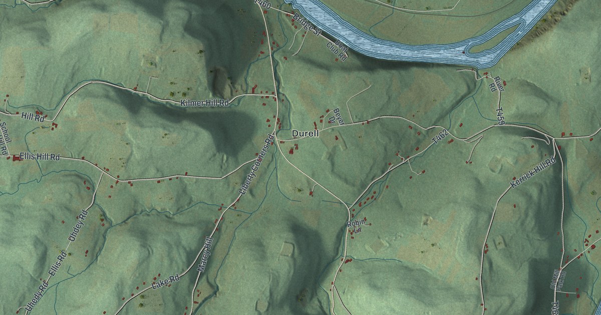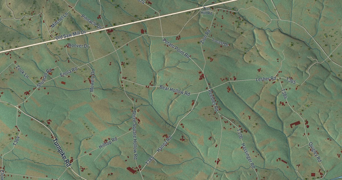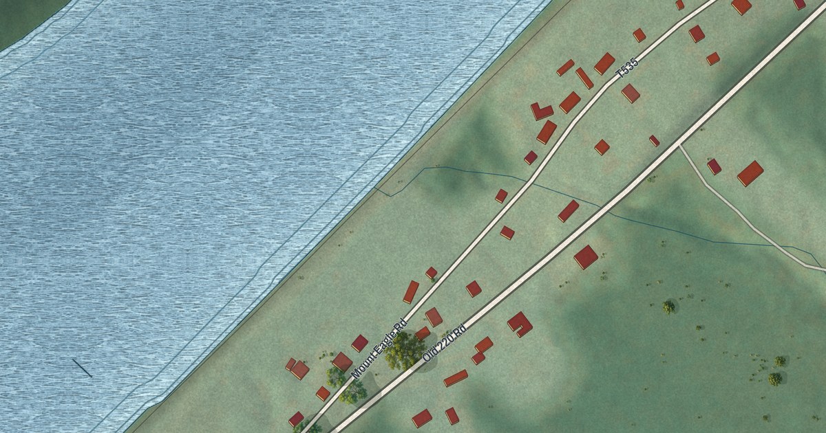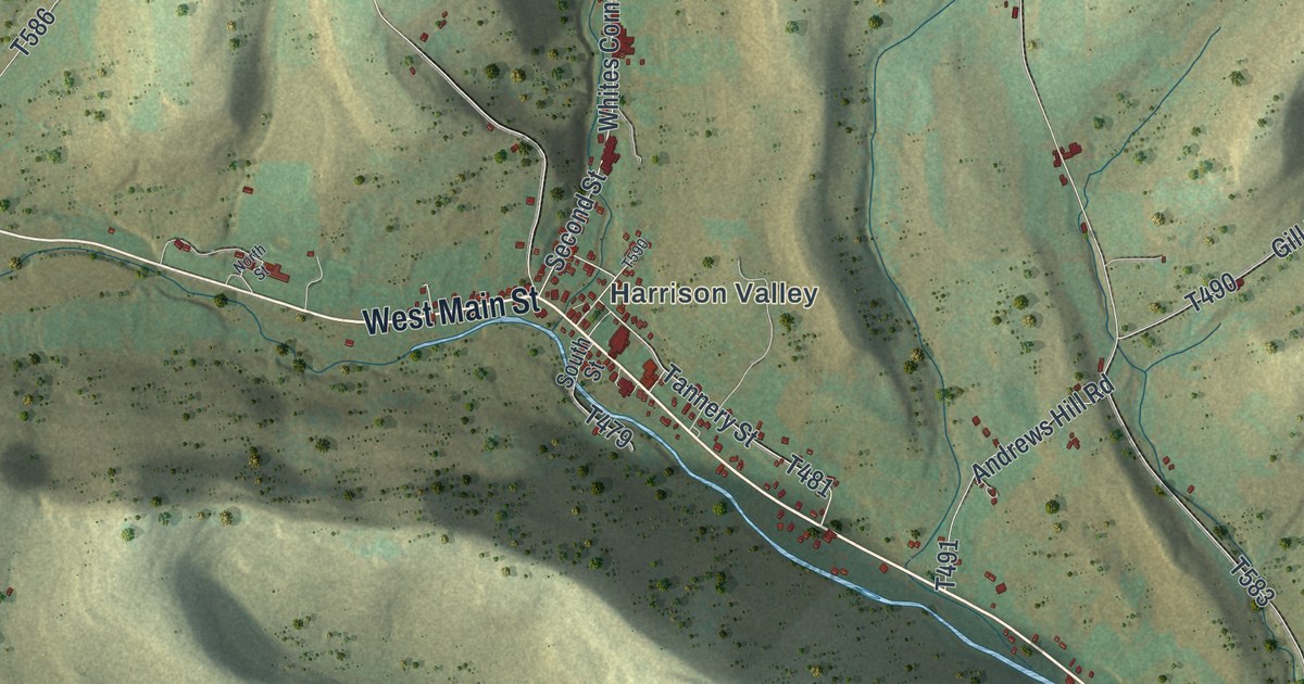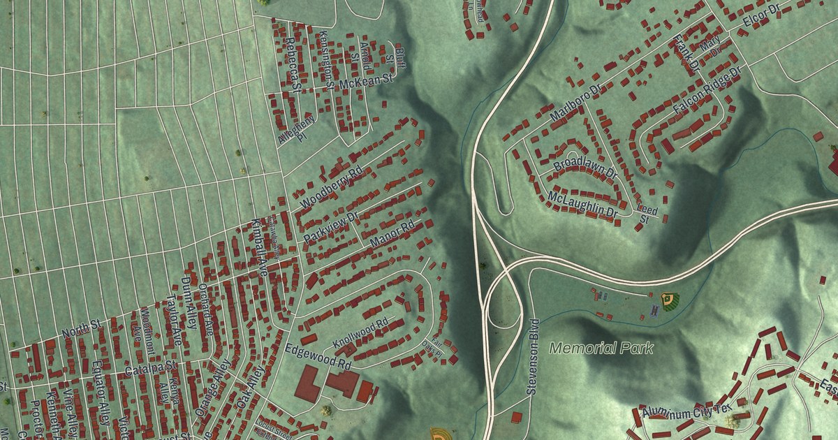
This beautifully detailed map of New Kensington, Pennsylvania was created in 2026 using aerial imagery combined with modern topographical, census, street and landmark data. It’s a one-of-a-kind view of New Kensington that combines accurate data with a vintage aesthetic. The map shows every building in its true location, many of the roads carry their names, and the shaded topographic relief shows the shape of the land.
Explore an aerial view of New Kensington, Pennsylvania
On the map you’ll find New Kensington City Hall, Memorial Park, Lower Burrell, Mount Vernon, Parnassus, and Valley Camp, along with Industrial Boulevard, Fourth Avenue, Ninth Street, Seventh Street, Stevenson Boulevard, Freeport Street, and more. If you look closely you can even find your house accurately drawn in its correct location. Zoom in on the preview to look for yours.
Did you know this piece of New Kensington, Pennsylvania history?
New Kensington was founded in 1891. The Burrell Improvement Company chose the level land below Lower Burrell for a city and called it Kensington. To keep its mail apart from Philadelphia’s Kensington neighborhood, the town became New Kensington. Its first big employer was the Pittsburgh Reduction Company, later known as Alcoa.
Take a closer look at the New Kensington map
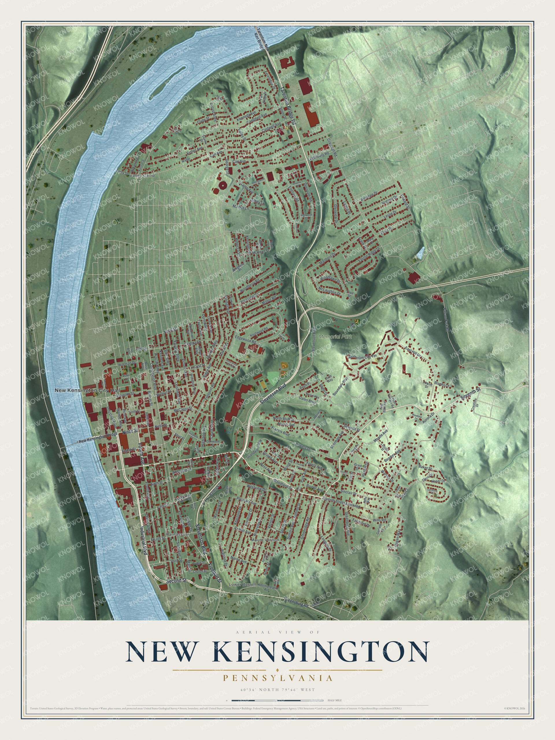
Street and place names on the New Kensington, Pennsylvania map
These names are printed on the map of New Kensington, Pennsylvania.
Places: New Kensington City Hall, Memorial Park, Lower Burrell, Mount Vernon, Parnassus and Valley Camp.
Streets and roads: Industrial Boulevard, Fourth Avenue, Ninth Street, Seventh Street, Stevenson Boulevard, Freeport Street, Tarentum Bridge Road, Second Street, Eighth Street, Eleventh Street, Sixth Avenue, Fourth Street.
More street names, A to Z
13th Street, Adams Street, Allegheny Place, Aluminum City Terrace, Anderson Street, Argonne Drive, Arnold Street, Arrowhead Lane, Ashe Way, Aurora Drive, Avon Place, Baker Street, Baldrick Street, Barnes Street, Beale Way, Beamer Avenue, Beech Avenue, Beech Street, Bell Street, Birch Way, Blacks Lane, Bluff Street, Boundary Way, Bridge Street, Broadlawn Drive, Broadway Avenue, Burrell Avenue, Caldwell Avenue, Camp Avenue, Campbell Avenue, Carl Avenue, Catalpa Street, Catawba Alley, Center Avenue, Charles Avenue, Cherry Alley, Chestnut Alley, Church Street, Clyde Street, Constitution Boulevard, Craigdell Road, Crestline Drive, Deerpath Road, Dent Drive, Dugan Way, Dunn Alley, Earl Avenue, East Hill Drive, Eckles Drive, Edgewood Road, Edward Street, Elcor Drive, Elizabeth Street, Elm Street, Elmtree Road, Equator Alley, Esther Avenue, Evans Street, Fairmont Drive, Fair Oaks Place, Falcon Park Road, Falcon Ridge Drive, Fernledge Drive, Fern Ridge Drive, Ferry Street, Fifth Avenue, Fifth Street, Fifth Street Extended, Forest Avenue, Francis Boulevard, Frank Drive, Franklin Street, Freeport Road, Gardlock Court, Garfield Street, George Street, Gilbey Lane, Glenview Drive, Grandview Way, Grant Street, Greenbriar Avenue, Greenridge Road, Greensburg Road, Harriet Way, Haser Drive, Hawley Alley, Hazlett Street, Highland Avenue, Highwood Lane, Hileman Drive, Hollingsworth Street, Home Street, Ivy Alley, Jones Street, Kennedy Avenue, Kenneth Avenue, Kensington Street, Kenya Alley, Keystone Drive, Kimball Avenue, Knollwood Road, Lancy Street, Laurel Place, Leechburg Road, Leed Street, Leishman Avenue, Leslie Drive, Lincoln Street, Linden Avenue, Locust Alley, Locust Street, Locust Street Extended, Longvue Drive, Lower Terrace Road, Maiden Lane, Main Street, Manion Way, Manor Road, Margaret Street, Marlboro Drive, Marne Avenue, Martin Avenue, Mary Drive, McCargo Street, McKean Street, McLaughlin Drive, Meade Avenue, Meadow Road, Moss Alley, New Kensington Bridge, North Bluff Drive, North Street, Oak Alley, Oakhill Drive, Oakwood Street, Oates Boulevard, Orange Alley, Orchard Avenue, Park Avenue, Parkview Drive, Pershing Drive, Pine Court, Pleasant Avenue, Powers Drive, Proctor Alley, Railroad Street, Rainbow Drive, Rebecca Street, Red Barn Road, Reinert Road, Richdale Drive, Ridge Avenue, Riverview Drive, Robinson Street, Ross Avenue, Second Avenue, Seventh Street Extended, Sherman Avenue, Short Street, Sinclair Street, Sixth Street, Sloan Avenue, Spring Street, Spruce Alley, Stewart Street, Strawn Avenue, Summit Avenue, Summit Street, Sycamore Alley, Tarentum-New Ken Bridge, Taylor Avenue, Tenth Street, Third Avenue, Third Street, Union Way, Valley Court, Valley Street, Vernon Street, Victoria Avenue, Vine Alley, Virginia Drive, Vogel Drive, Walnut Street, Walter, Warren Drive, Westmoreland Avenue, Westview Drive, Wills Road, Woodberry Road, Woodbine Alley, Woodland Drive, Woodland Terrace, Woodmont Avenue, Wood Street, Young Street, Zaleski Court, Zaleski Drive.
See the New Kensington, Pennsylvania map on a wall
The New Kensington map as an 18 x 24 inch print in a black frame.

This beautifully detailed map of New Kensington makes an attractive addition to your office, library, or den, and it can even be used to teach children the geography and history of the area. It also makes a great gift for anyone with New Kensington roots. When you’re done exploring, click here to get your copy of the New Kensington map.