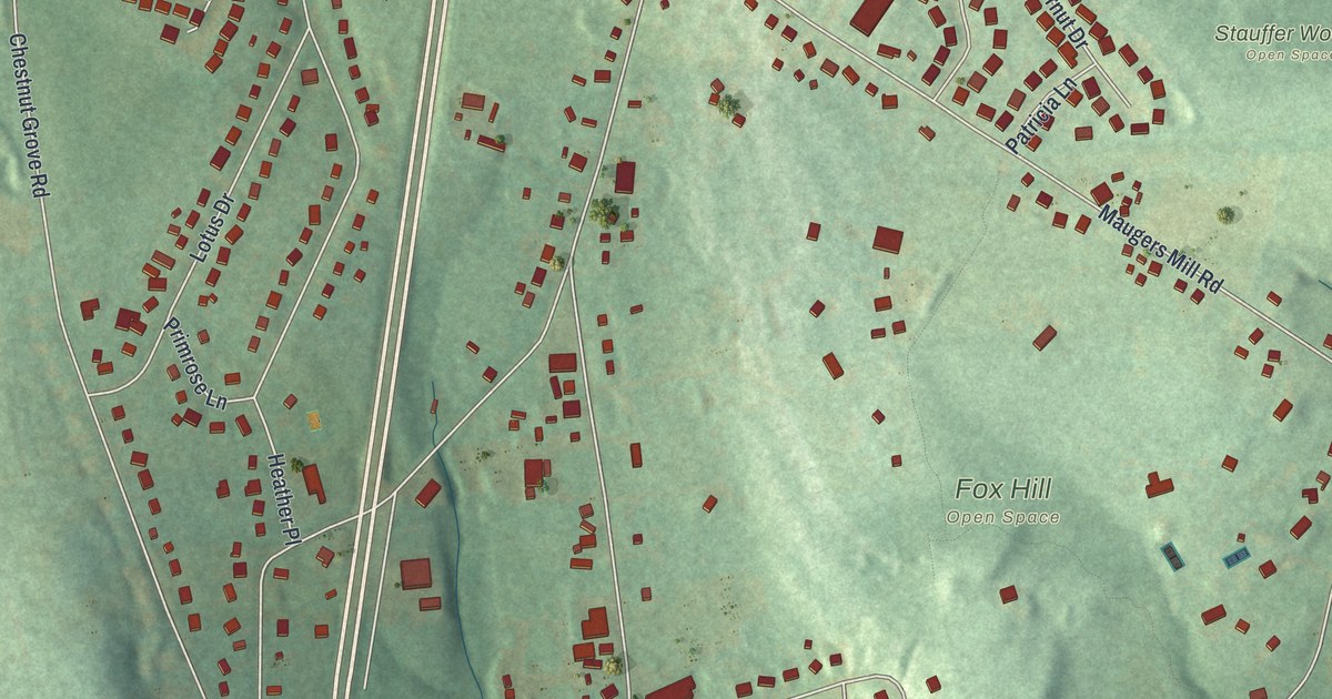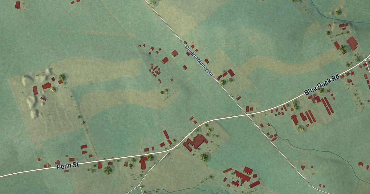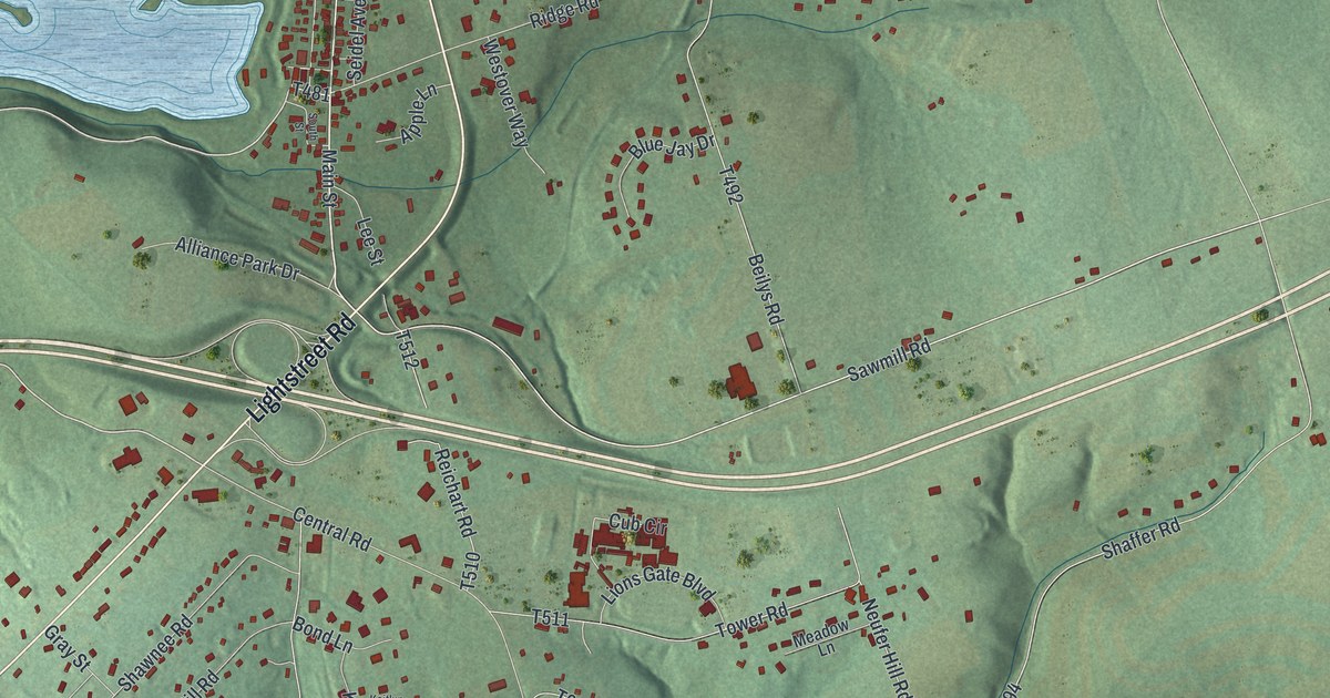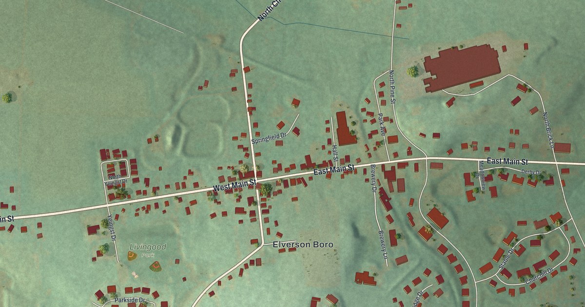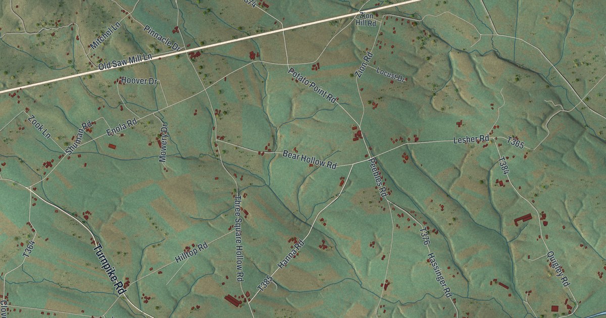
This beautifully detailed map of Hopewell, Cumberland County, Pennsylvania was created in 2026 using aerial imagery combined with modern topographical, census, street and landmark data. It’s a one-of-a-kind view of Hopewell that combines accurate data with a vintage aesthetic. The map shows every building in its true location, many of the roads carry their names, and the shaded topographic relief shows the shape of the land.
Explore an aerial view of Hopewell, Cumberland County, Pennsylvania
On the map you’ll find Tuscarora State Forest, along with Newburg Road, Newville Road, Turnpike Road, Shippensburg Road, Main Street, Three Square Hollow Road, Hanna Road, Clay Hill Road, Enola Road, Mitchel Lane, and more. If you look closely you can even find your house accurately drawn in its correct location. Zoom in on the preview to look for yours.
Did you know this piece of Hopewell, Cumberland County, Pennsylvania history?
From the 1886 History of Cumberland and Adams Counties, Pennsylvania: "In 1859 he invented and patented a fire-place heater, among the first of its class."
Take a closer look at the Hopewell, Cumberland County map
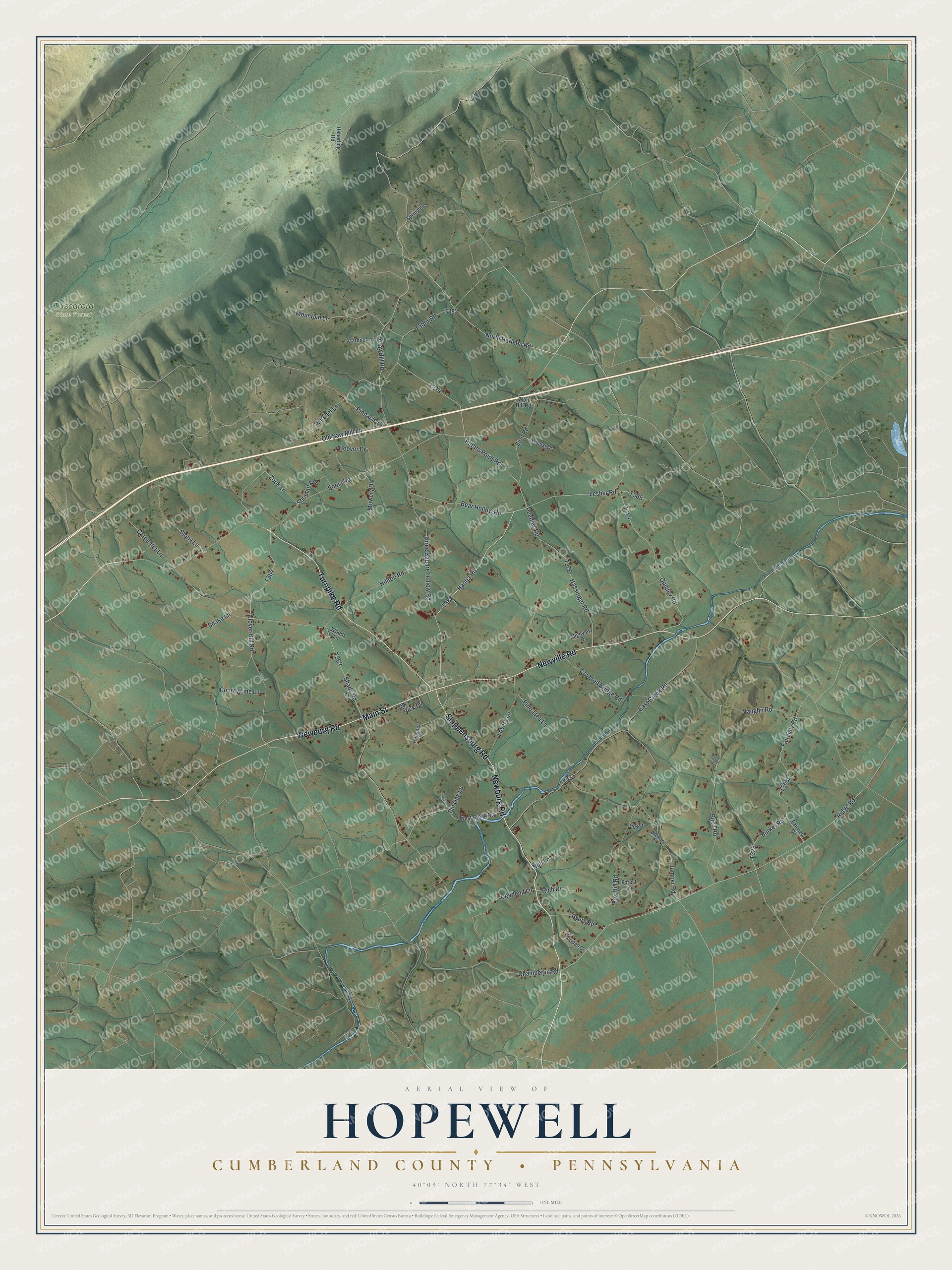
Street and place names on the Hopewell, Cumberland County, Pennsylvania map
These names are printed on the map of Hopewell, Cumberland County, Pennsylvania.
Places: Tuscarora State Forest.
Streets and roads: Newburg Road, Newville Road, Turnpike Road, Shippensburg Road, Main Street, Three Square Hollow Road, Hanna Road, Clay Hill Road, Enola Road, Mitchel Lane, Chamberlin Road, Burket Road.
More street names, A to Z
Alleman Lane, Bear Hollow Road, Booz Road, Byers Road, Carpenter Lane, Clover Hill Road, County Line Lane, Covered Bridge Road, Deadend Lane, East Creek Road, Fairview Drive, Fairview Road, Forest Lane, Fox Hill Road, Gardner Lane, Hassinger Road, Heberling Road, Hey Lane, Highview Drive, Hilltop Road, Hoover Drive, Jumper Road, Lesher Road, Locust Drive, Lovers Lane, Minick Drive, Mountain Lane, Mowery Drive, North Harmon Road, Null Lane, Old Saw Mill Lane, Peebles Road, Pine Tree Lane, Pinnacle Drive, Pin Oak Lane, Poplar Lane, Potato Point Road, Quigley Road, Reasner Lane, Rich Drive, Ridge Road, Sandy Lane, Shady Road, Shuman Road, Snake Lane, Spring Lane, Stony Lane, Tabor Road, Vaughn Road, West Creek Road, Wooded Drive, Woods Lane, Zion Hill Road, Zion Road, Zook Lane.
See the Hopewell, Cumberland County, Pennsylvania map on a wall
The Hopewell, Cumberland County map as an 18 x 24 inch print in a black frame.

This beautifully detailed map of Hopewell, Cumberland County makes an attractive addition to your office, library, or den, and it can even be used to teach children the geography and history of the area. It also makes a great gift for anyone with Hopewell roots. When you’re done exploring, click here to get your copy of the Hopewell, Cumberland County map.