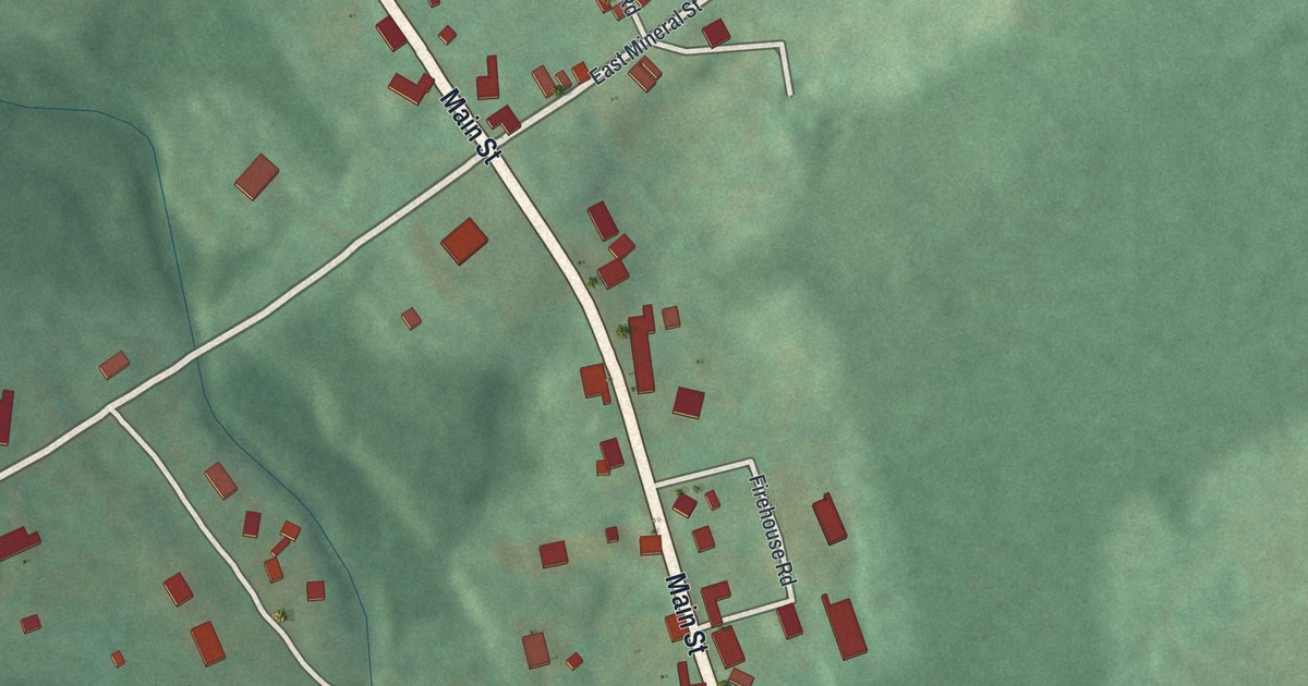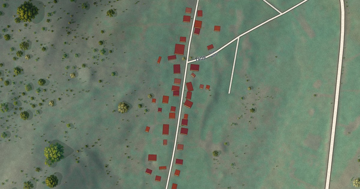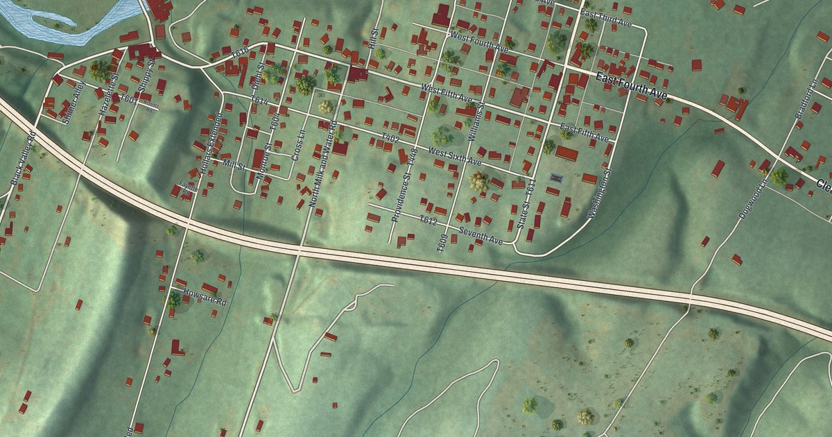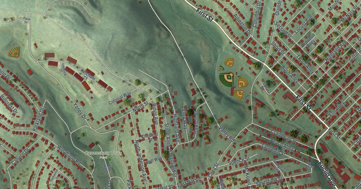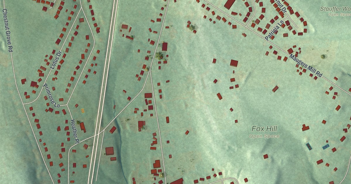
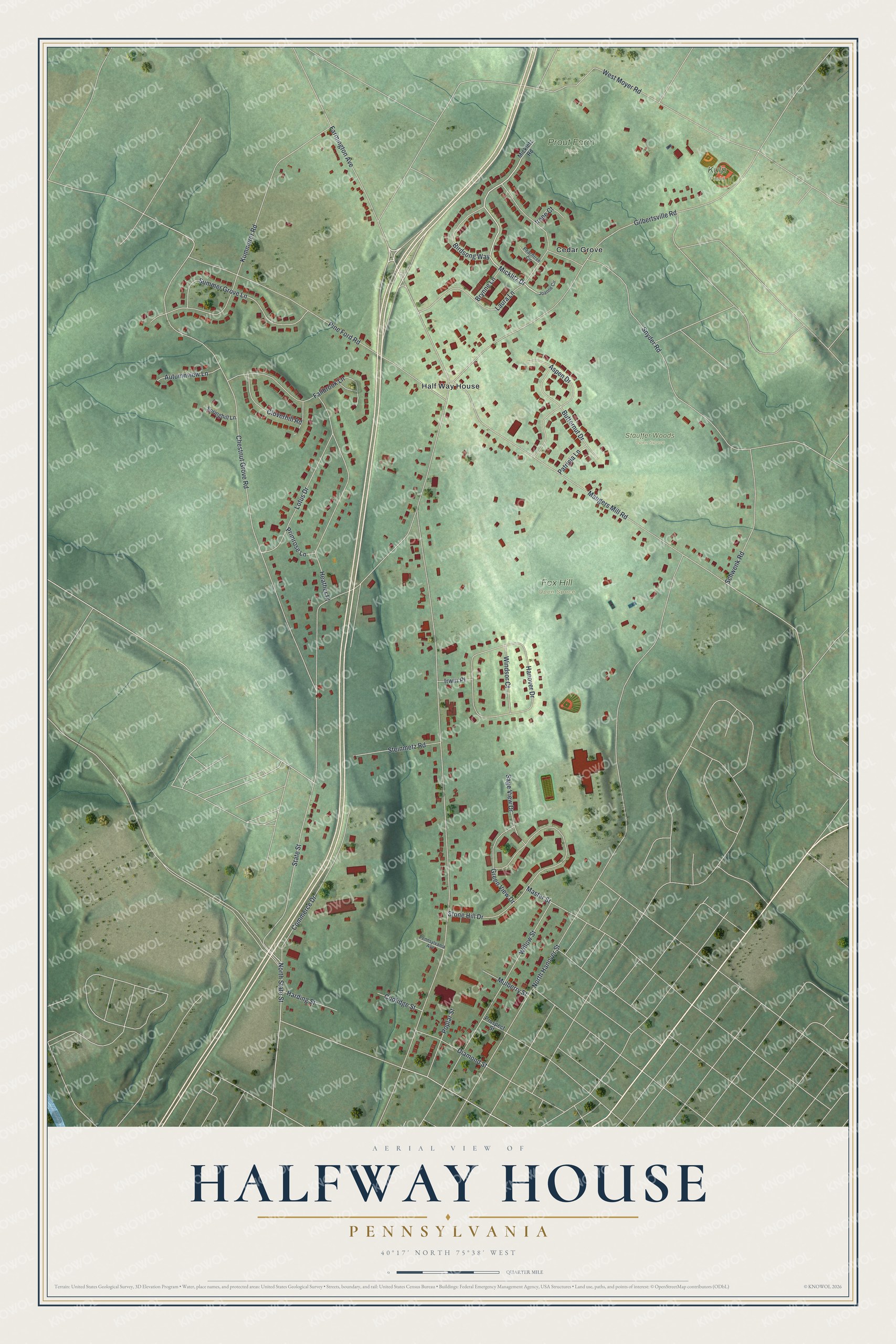
This beautifully detailed map of Halfway House, Pennsylvania was created in 2026 using aerial imagery combined with modern topographical, census, street and landmark data. It's a modern aerial view of Halfway House in Montgomery County, Pennsylvania, that combines modern data with a vintage aesthetic. The roads feature printed names, and if you look closely you can find your exact house accurately shown in its correct location.
Explore an aerial view of Halfway House, Pennsylvania
On this map you'll find Fox Hill Open Space, Prout Farm Park, Stauffer Woods Open Space, Kulp Field, Half Way House, Cedar Grove, Micklitz Drive, Farmington Avenue, North Hanover Street, State Street, Chestnut Grove Road, Gilbertsville Road, and more. Each red shape is a building, so zoom in on the preview and look for yours.
Halfway House is a community in Montgomery County. The Census Bureau counted 3,273 people here in 2020. Halfway House sits about 2 miles northwest of Pottsgrove, 2 miles north of Pottstown and 3 miles northeast of Stowe. The map prints the town name in its title panel, with the coordinates below it.
Take a closer look at the Halfway House map
Names on this map
These names are printed on this map.
Places: Fox Hill Open Space, Prout Farm Park, Stauffer Woods Open Space, Kulp Field, Half Way House and Cedar Grove.
Streets and roads: Micklitz Drive, Farmington Avenue, North Hanover Street, State Street, Chestnut Grove Road, Gilbertsville Road, Maugers Mill Road, Kummerer Road, Pine Ford Road, Snyder Road, West Moyer Road, Laura Lane.
More street names, A to Z
Aspen Drive, Autumnview Lane, Birdsong Way, Brynne Lane, Butternut Drive, Cloverhill Road, Commerce Drive, Coolidge Street, Diamond Street, Fallbrook Lane, Green View Drive, Hanover Drive, Harding Street, Heather Place, Irene Court, Irwin Place, Joanne Circle, Lotus Drive, Master Street, Mickletz Road, Mulberry Street, North State Street, Patricia Lane, Peachtree Circle, Pennsylvania Avenue, Poplar Street, Primrose Lane, Prospect Street, Sage View Drive, Schwenk Road, Springhill Lane, Steinmetz Road, Stone Hill Drive, Summer Grove Lane, Willow Street, Windsor Court.
See it on a wall
The Halfway House map as a framed print. Swipe for more.


Created by KNOWOL in 2026. The buildings are small red shapes, the roads carry their printed names, and shaded relief shows the shape of the land. The title panel reads "AERIAL VIEW OF HALFWAY HOUSE, PENNSYLVANIA" with 40°17' NORTH 75°38' WEST.
It suits a den, a classroom or a front hall, and it makes a gift for anyone with Halfway House roots. Open the preview and find the block you know. See sizes and frames for the Halfway House map.