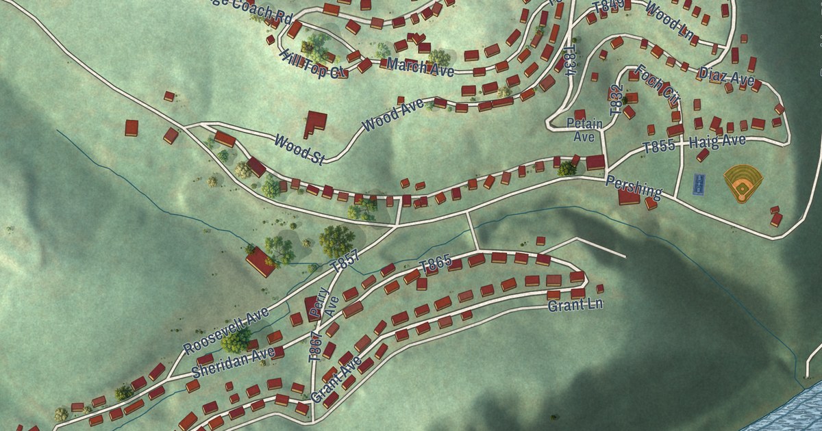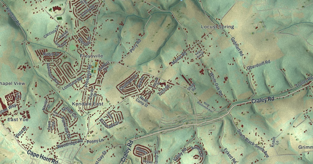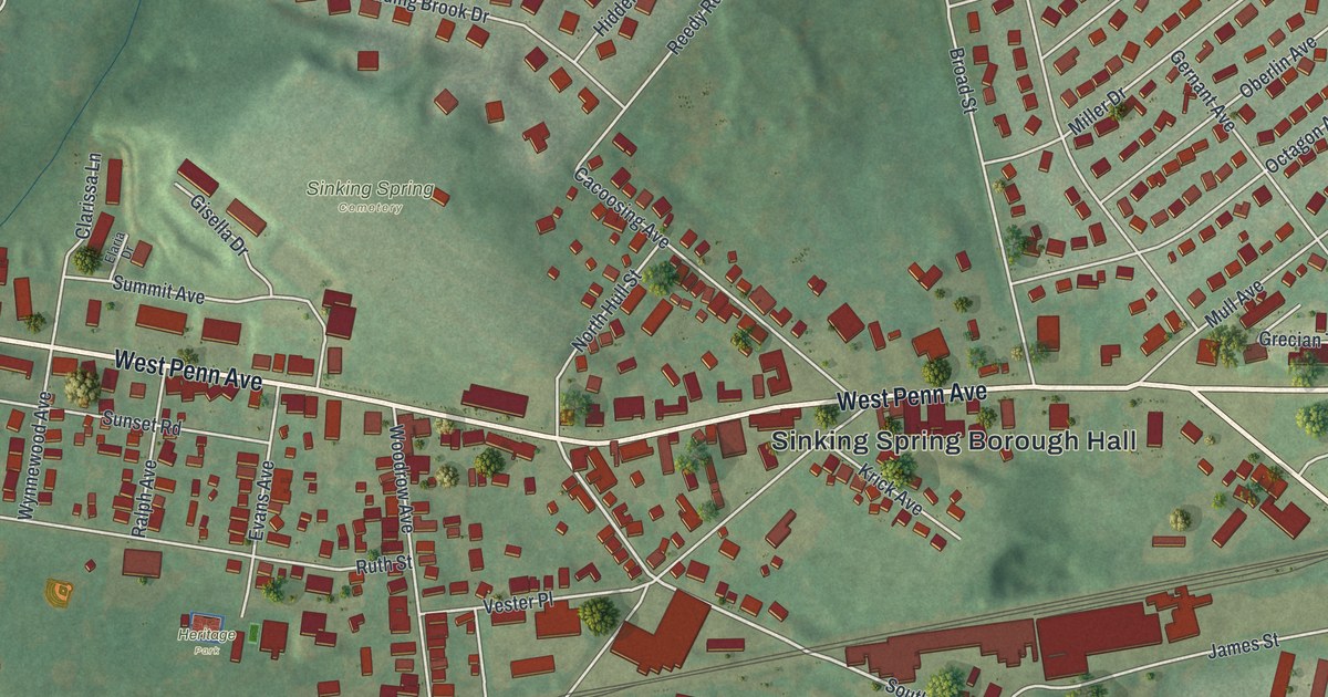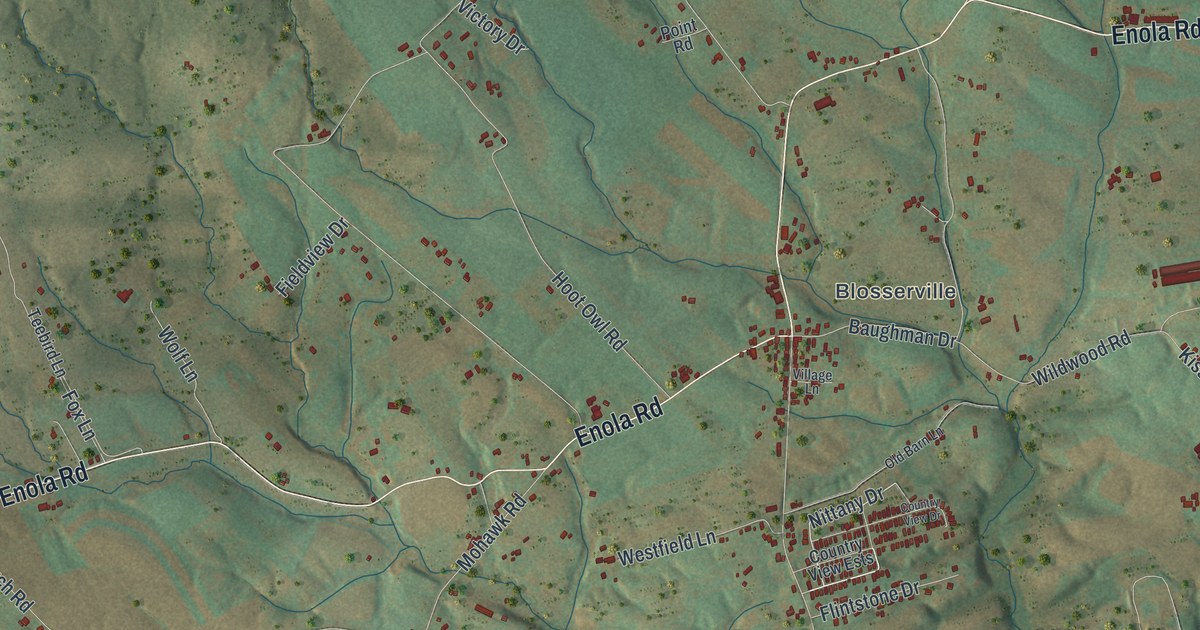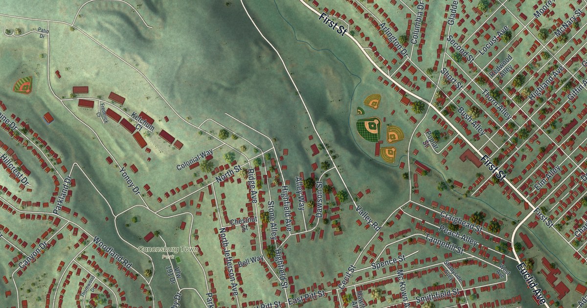
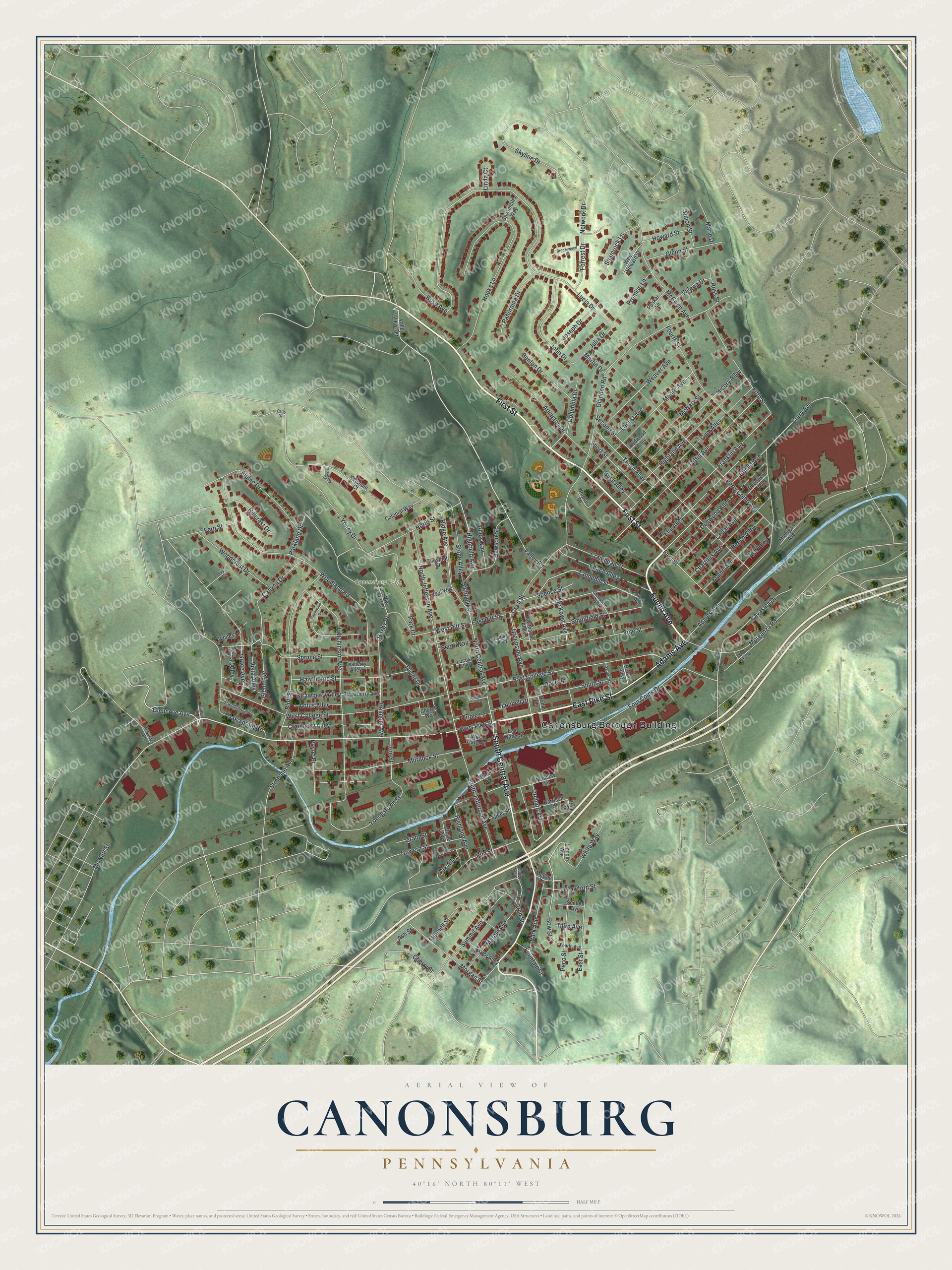
This beautifully detailed map of Canonsburg, Pennsylvania was created in 2026 using aerial imagery combined with modern topographical, census, street and landmark data. It’s a one-of-a-kind view of Canonsburg that combines accurate data with a vintage aesthetic. The map shows every building in its true location, many of the roads carry their names, and the shaded topographic relief shows the shape of the land.
Explore an aerial view of Canonsburg, Pennsylvania
On the map you’ll find Canonsburg Borough Building and Canonsburg Town Park, along with East Pike Street, Euclid Avenue, Adams Avenue, First Street, South Central Avenue, West Pike Street, Glencove Avenue, North Central Avenue, Valley Road, Tannehill Street, and more. If you look closely you can even find your house accurately drawn in its correct location. Zoom in on the preview to look for yours.
Did you know this piece of Canonsburg, Pennsylvania history?
From the Pennsylvania Historical and Museum Commission: "A military surgeon, Letterman is credited with establishing modern methods of battlefield medical management. During the Civil War, he designed a medical supply wagon prototype, established triage procedures, and instituted an efficient system for procuring supplies and evacuating patients from the battlefield, still in use today. He founded Letterman Hospital at Gettysburg, which treated wounded on both sides. His childhood home was here."
Take a closer look at the Canonsburg map
Street and place names on the Canonsburg, Pennsylvania map
These names are printed on the map of Canonsburg, Pennsylvania.
Places: Canonsburg Borough Building and Canonsburg Town Park.
Streets and roads: East Pike Street, Euclid Avenue, Adams Avenue, First Street, South Central Avenue, West Pike Street, Glencove Avenue, North Central Avenue, Valley Road, Tannehill Street, Spence Street, Crosby Drive.
More street names, A to Z
Alley Way, Alpine Drive, Archer Street, Arch Street, Arlington Drive, Ash Alley, Ashland Avenue, Ash Street, Barr Street, Beech Alley, Bell Way, Belmont Avenue, Benton Drive, Black Alley, Blaine Avenue, Bluff Street, Bow Street, Boyle Avenue, Breezewood Drive, Brown Alley, Bush Alley, Canary Lane, Canyon Drive, Cardinal Lane, Cavasina Drive, Cecil Street, Cedar Avenue, Chartiers Avenue, Cherry Street, Chestnut Street, Church Way, Coal Alley, Colonial Way, Columbia Drive, Craighead Street, Cranberry Alley, Crawford Street, Curry Avenue, Dawson Street, Dogwood Alley, Dove Lane, Duquesne Avenue, East College Street, East Pitt Street, East Street, East Water Street, Elm Alley, Elm Street, Fern Street, Fifth Street, Forrest Drive, Fountain Street, Four Coins Drive, Fourth Avenue, Fourth Street, Franklin Avenue, Frederick Court, Friendship Alley, Giffin Avenue, Gladden Road, Glenn Avenue, Glenn Street, Gowern Street, Grace Avenue, Grant Street, Greenside Avenue, Gum Alley, Harrison Street, Hawthorne Alley, Hawthorne Street, Hicory Alley, Highfield Avenue, Highfield Street, Highland Avenue, Hillcrest Drive, Hooks Lane, Howard Street, Hutchinson Avenue, Iron Street, Ivy Court, Jacob Street, John Drive, Joseph Drive, Julia Drive, Ketchum Court, Lincoln Avenue, Linda Court, Locust Alley, Locust Avenue, Lotus Alley, Loubell Drive, Lucia Drive, Marie Drive, Marple Avenue, Martin Drive, McBurney Road, McCoy Lane, McEwen Avenue, Mc Kown Avenue, McNary Street, Mc Nutt Street, Meadow Lane, Michigan Avenue, Moore Avenue, Morgan Street, Morganza Road, Munnell Street, Murdock Street, Network Drive, North Jefferson Avenue, North Street, Oak Alley, Oak Spring Road, Old Pike Street, Orchard Avenue, Oriole Lane, Panorama Drive, Park Avenue, Park Drive, Parkland Drive, Patio Drive, Payne Place, Peach Alley, Peco Street, Perry Como Avenue, Pine Street, Poplar Street, Promise Lane, Puskar Lane, Redwood Alley, Richland Avenue, Ridge Avenue, Robin Lane, Rose Avenue, Ross Street, Savannah Way, Scott Way, Second Avenue, Second Street, Shadyside Alley, Shamrock Lane, Short Street, Skyline Drive, Smithfield Street, Smith Street, South Jefferson Avenue, Speer Street, Spring Alley, Spruce Street, Stone Alley, Strabane Avenue, Strawberry Alley, Strawberry Avenue, Summit Avenue, Taylor Alley, Taylor Drive, Teaberry Alley, Third Avenue, Thorn Alley, Thornwood Drive, Union Street, Valeria Drive, Valley View Terrace, Van Eman Street, Vfw 191 Drive, Vine Street, Vista Alley, Weaver Avenue, Weavertown Road, West Avenue, West College Street, West Howard Street, West Pitt Street, West Water Street, Whites Lane, White Way, Woodcrest Drive, Woodland Road, Yoney Drive, Youngstown Street.
See the Canonsburg, Pennsylvania map on a wall
The Canonsburg map as an 18 x 24 inch print in a black frame.

This beautifully detailed map of Canonsburg makes an attractive addition to your office, library, or den, and it can even be used to teach children the geography and history of the area. It also makes a great gift for anyone who grew up in Canonsburg or moved away. When you’re done exploring, click here to get your copy of the Canonsburg map.