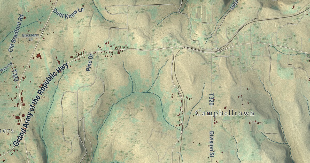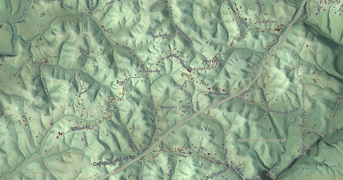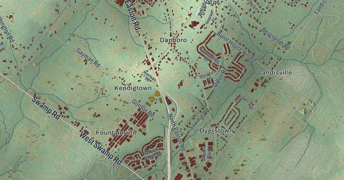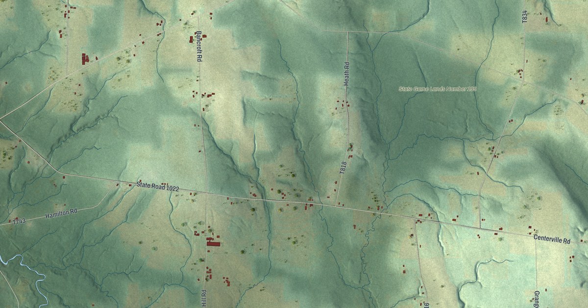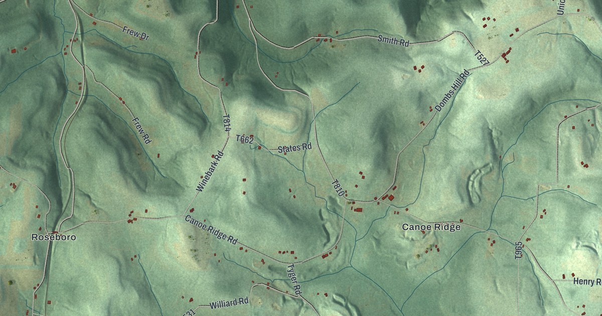
This beautifully detailed map of Canoe, Pennsylvania was created in 2026 using aerial imagery combined with modern topographical, census, street and landmark data. It’s a one-of-a-kind view of Canoe that combines accurate data with a vintage aesthetic. The map shows every building in its true location, many of the roads carry their names, and the shaded topographic relief shows the shape of the land.
Explore an aerial view of Canoe, Pennsylvania
On the map you’ll find Enterprise, Rossiter, Juneau, State Game Lands Number 262, Canoe Ridge, Locust, and Roseboro, along with Johnsonburg Road, Buffalo Lodge Road, Church Road, Union Hill Road, Steffey Church Road, and more. If you look closely you can even find your house accurately drawn in its correct location. Zoom in on the preview to look for yours.
Did you know this piece of Canoe, Pennsylvania history?
From the 1913 history of Indiana County, Pennsylvania: "The stories of the past in regard to hunting indicate the forests as inhabited by numerous bears, deer, wolves, etc."
Take a closer look at the Canoe map
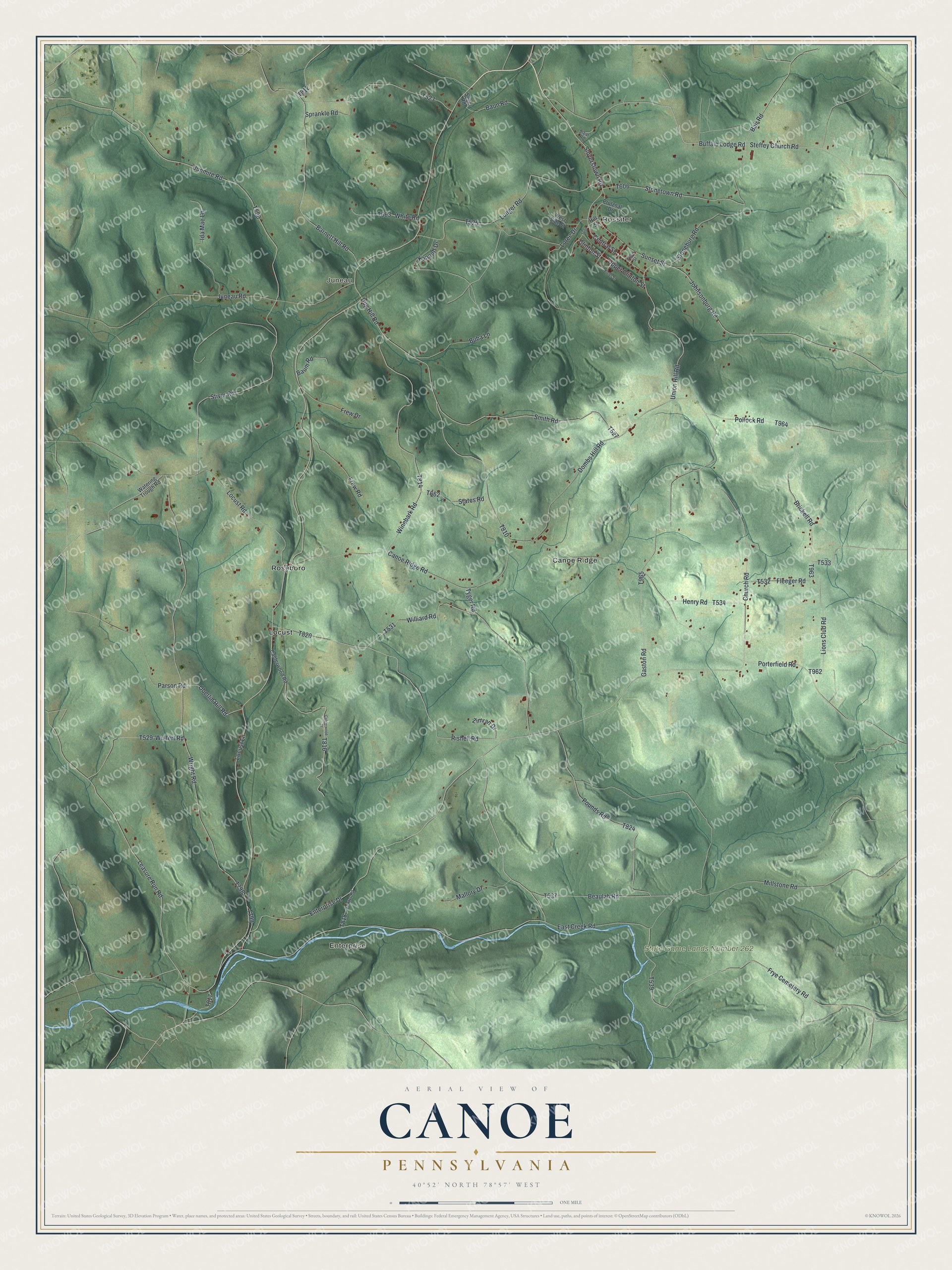
Street and place names on the Canoe, Pennsylvania map
These names are printed on the map of Canoe, Pennsylvania.
Places: Enterprise, Rossiter, Juneau, State Game Lands Number 262, Canoe Ridge, Locust and Roseboro.
Streets and roads: Johnsonburg Road, Buffalo Lodge Road, Church Road, Union Hill Road, Steffey Church Road, Bair Road, Central Street, Frye Cemetery Road, Stoneburg Road, East Creek Road, Sunset Street, Smyerstown Road.
More street names, A to Z
Barnett Hill Road, Baum Road, Baun Road, Beaulah Road, Bigler Street, Brickell Road, Buba Lane, Calderwood Road, Calderwood Street, Canoe Ridge Road, Clinton Street, Dombs Hill Road, Dug Hill Road, Dunmire Road, Enterprise Drive, Fleeger Road, Frew Drive, Frew Road, Gaston Road, Henry Road, Hill Street, Ida Mae Lane, Juneau Road, Kanouff Drive, Leasure Run Road, Lions Club Road, Locust Lane, Locust Road, Loree Drive, Lunger Road, Mallory Drive, Millstone Road, Oberlin Hill Road, Painter Road, Parson Road, Pollock Road, Porterfield Road, Pounds Road, Prutznal Drive, Rishell Road, Seger Road, Smith Road, Sprankle Road, States Road, Stear Road, Stiver Road, Stonetown Road, Third Street, Tyger Road, Upper Clinton Street, Watering Trough Road, West Side Street, White Road, Williard Road, Winebark Road, Wright Road, Wulfert Road, Zimran Drive.
See the Canoe, Pennsylvania map on a wall
The Canoe map as an 18 x 24 inch print in a black frame.

This beautifully detailed map of Canoe makes an attractive addition to your office, library, or den, and it can even be used to teach children the geography and history of the area. It also makes a great gift for anyone with Canoe roots. When you’re done exploring, click here to get your copy of the Canoe map.