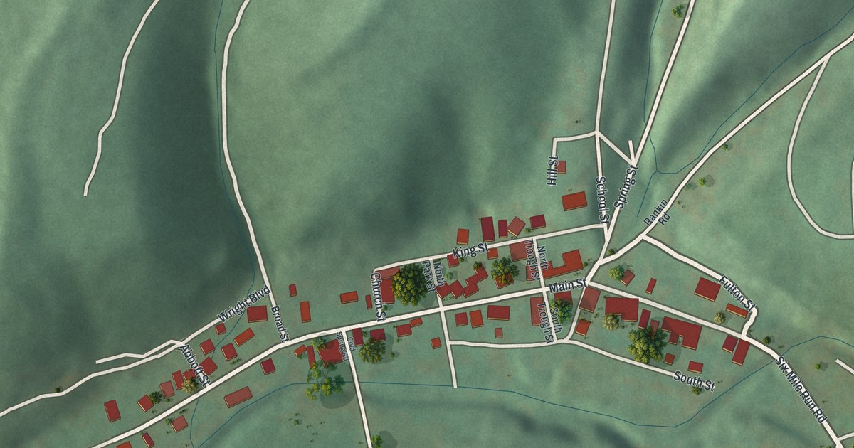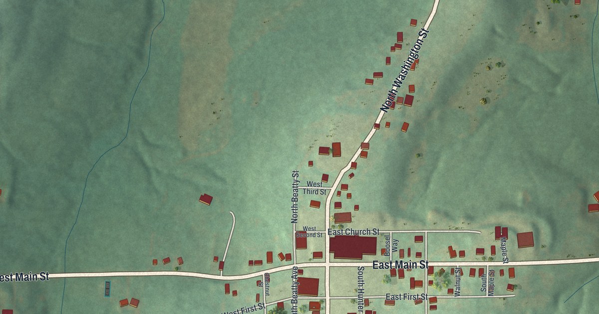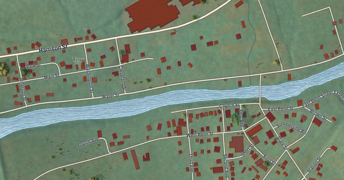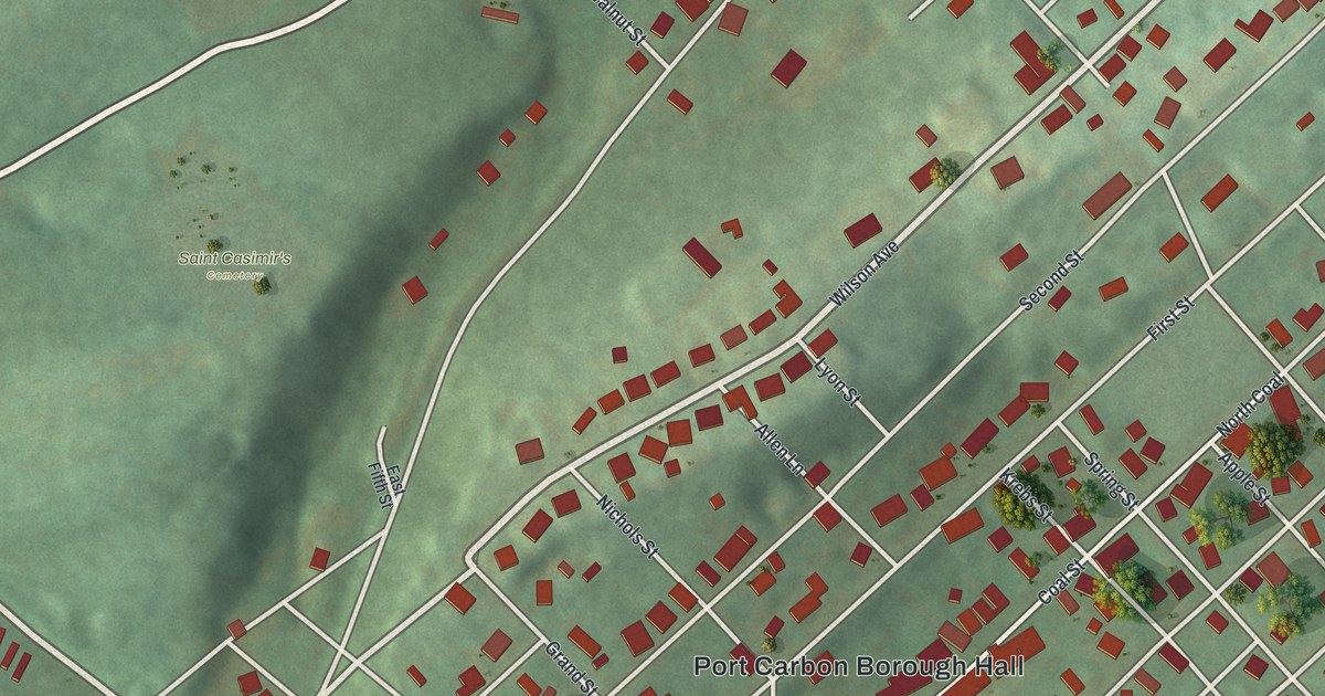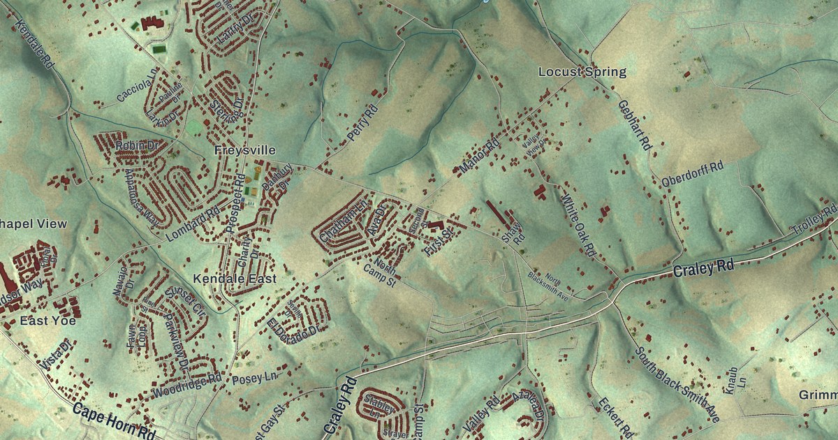
If you grew up in Freysville, Springvale or Locust Grove, or still drive Cape Horn Road every day, this map is for you. It's a modern aerial view of Windsor Township in York County, Pennsylvania, built from modern data and finished with a vintage feel. Green hills fold across the whole sheet, and tiny red buildings gather along the roads. You can pick out the neighborhoods around Freysville and Kendale East, the homes along Delta Road, and the farm roads out toward Brownton and Sechrist Mill.
Freysville, Springvale and the roads of Windsor
On this map you'll find Cape Horn Road, Craley Road, Delta Road, East Prospect Road, Winterstown Road, Windsor Road, Frysville Road, Zion Church Road, Bethlehem Church Road, Freysville, Springvale, Locust Grove, Pleasant View, Grimms Crossroads, Sechrist Mill, and more. Each red shape is a building, so zoom in on the preview and look for yours.
How Freysville and Frysville Church began
The 1886 History of York County calls this settlement Frysville and says it took its name from its early inhabitants. Its old churchyard is where the book found gravestones from the 1740s. Conrad Fry owned the land around the church. On March 28, 1771, he deeded a lot of one and a half acres for 5 shillings. It went to the Lutheran and Reformed congregations. People called it Emanuel's Church, or just "Frysville Church."
The first church was built of logs. Its gable end and window frames were painted red. Inside, it was painted white. A long stove held cordwood at full length. The step down from the door was so tall that children liked to jump it. In 1852 the people built a brick church about three hundred yards away. The book says some of the ground was used for burials as early as 1745. One old stone there names Anna Frey, who died in 1748. Several patriots of the Revolution are buried there too.
Zion Church Road and Bethlehem Church Road
Two more old churches share their names with roads on the map. In 1886 Zion United Brethren Church was near Springvale. It was built in 1843, and the book calls it the first United Brethren church in York County. Bethlehem Church started as a class that met in Daniel Oberdorf's house around 1835. Its church of 1853 was long known as the "stone pile." Look for Zion Church Road and Bethlehem Church Road on the map.
A map of Windsor Township from Holtz to Brownton
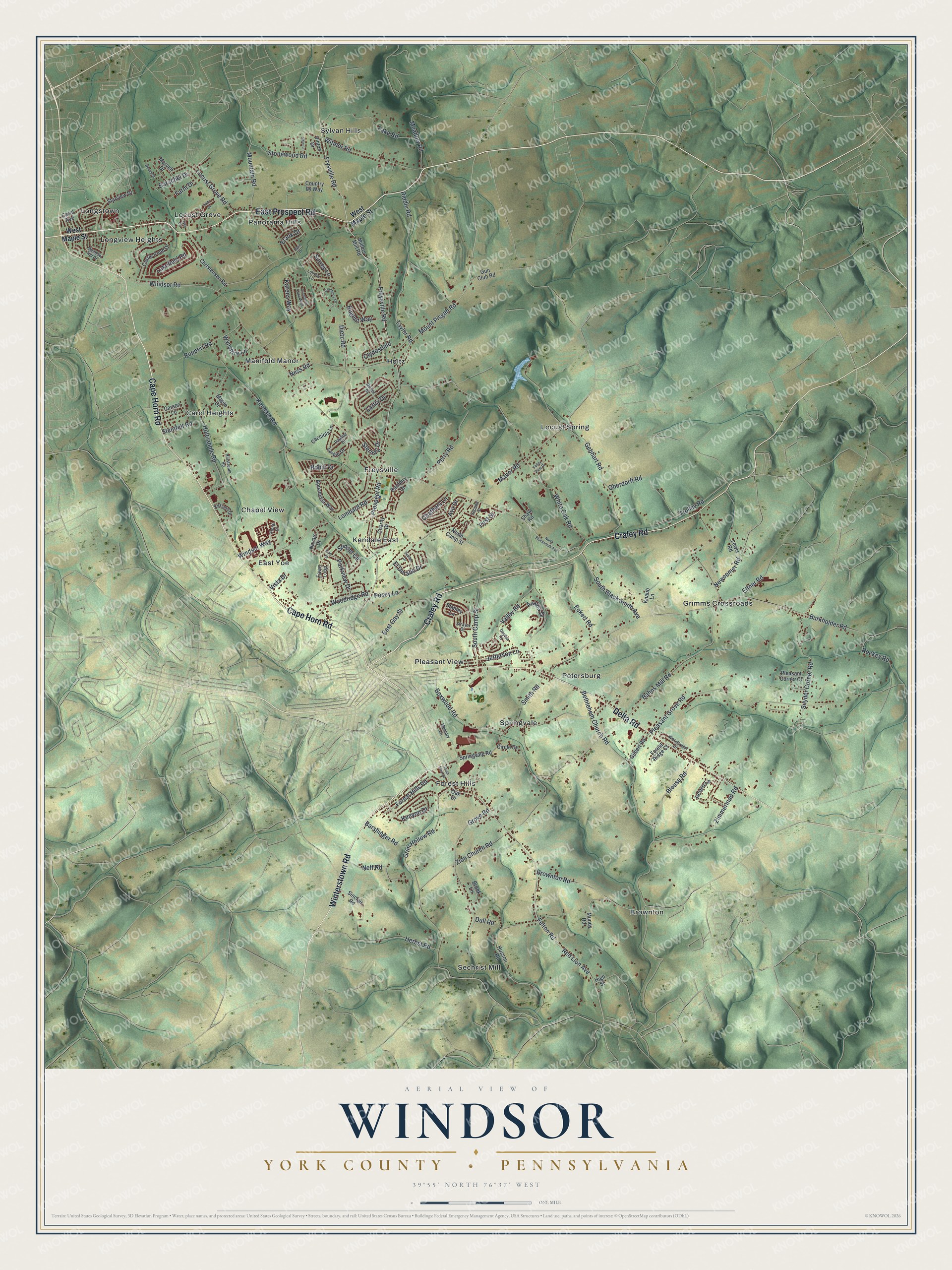
Created by KNOWOL in 2026, this print shows Windsor Township as soft green shaded hills, with pale roads and small red buildings. The cream title panel at the bottom reads "Aerial View of Windsor, York County • Pennsylvania" and gives the spot as 39°55' North 76°37' West.
It fits a living room, a front hall or a home office. It's a good gift for someone who went to church in Freysville, or for a family that moved away from Springvale or Locust Grove. Open the preview and find the road you grew up on. See sizes and frames for the Windsor, York County map.