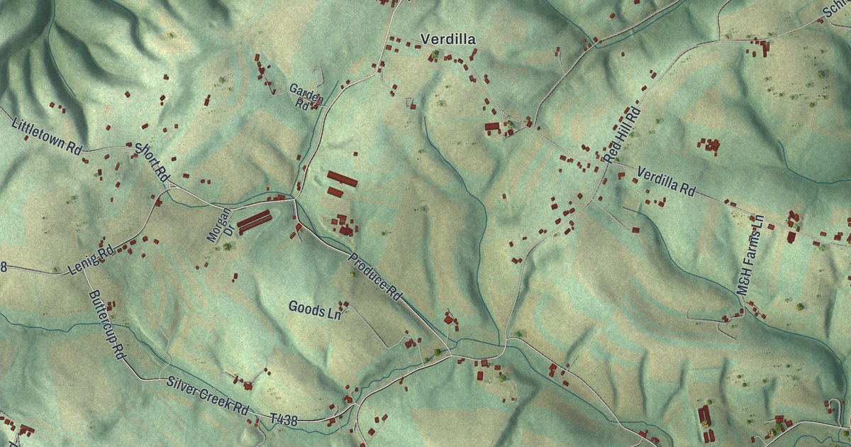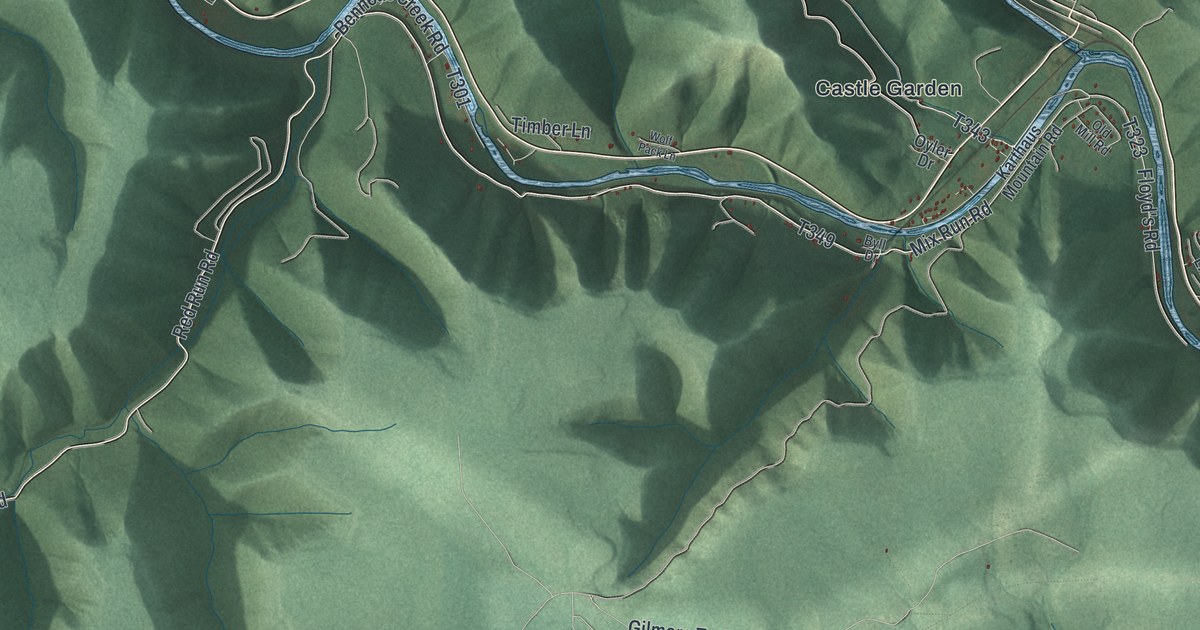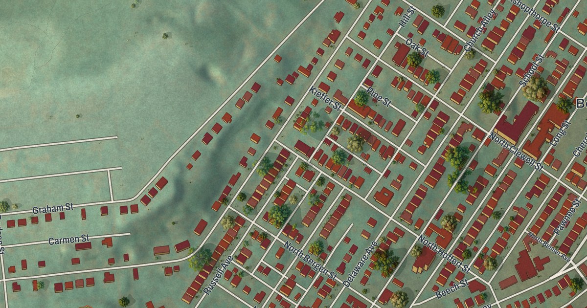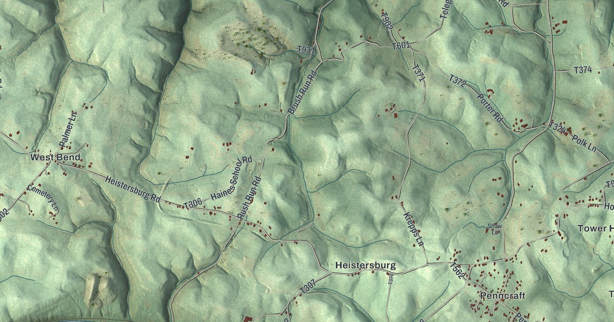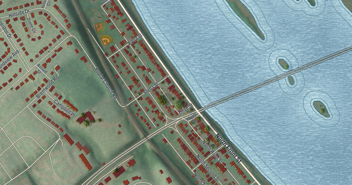
If you grew up in Wormleysburg, look for your old block on this map. It's a modern aerial view of Wormleysburg in Cumberland County, Pennsylvania, made with modern data and a vintage feel. Red buildings line the streets beside a wide blue river. Long green islands fill the water, and curved streets spread inland.
North Front Street and Wormleysburg's Riverfront
On this map you'll find North Front Street, South Front Street, Wormleysburg Borough Hall, Rupley Park, Market Street, Walnut Street, North Second Street, North Third Street, Rupley Road, Poplar Church Road, and more. Each red shape is a building, so zoom in on the preview and look for yours.
The John Wormley House at 126 N. Front St. was listed on the National Register of Historic Places in 1976, and North Front Street is printed on this map.
Market Street and the Market Street Bridge are both printed on this map. The river has a bridge story worth sharing. Across the water in Harrisburg, a covered wooden bridge once stood at Front and Market streets. The Camel Back Bridge marker says Theodore Burr designed it. Built in 1813-17, it got its name from its unusual arches. Parts were rebuilt in 1847 and 1867. It was replaced after severe flood damage in 1902.
A Print for Rupley Park and North Front Street
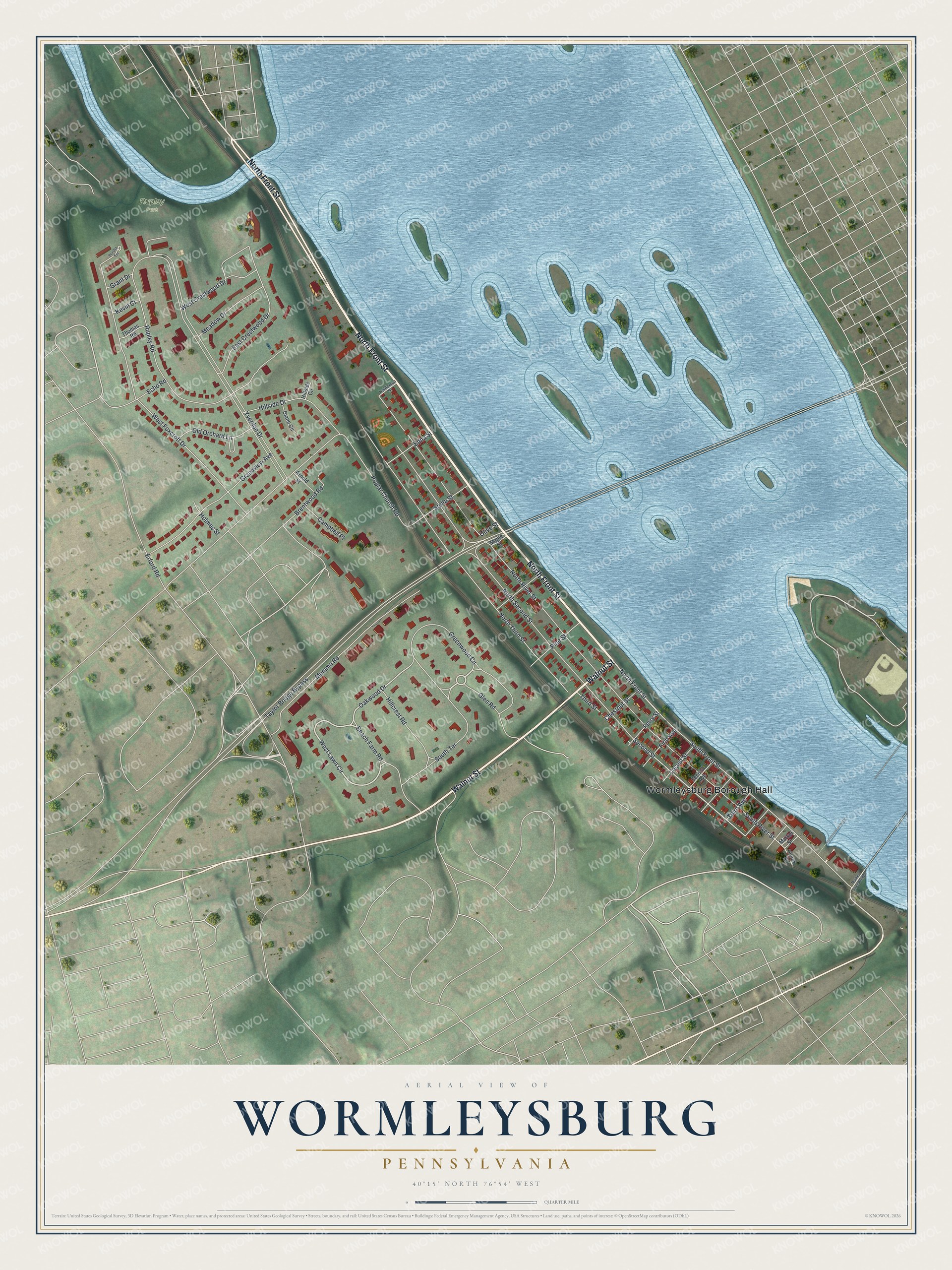
Created by KNOWOL in 2026, the print pairs blue water, soft green land and red buildings with a cream border. The title panel reads AERIAL VIEW OF WORMLEYSBURG, PENNSYLVANIA, with 40°15' NORTH 76°54' WEST below.
Hang it in a living room, office or entryway. It's a thoughtful gift for someone who grew up near Rupley Park or moved away from Wormleysburg. Open the preview to find a familiar street and take a closer look. See sizes and frames for the Wormleysburg map.