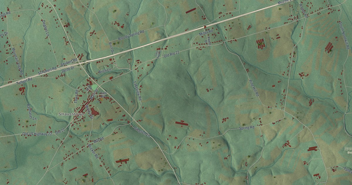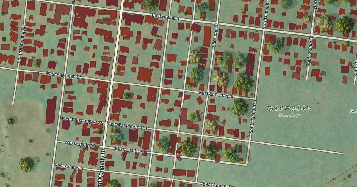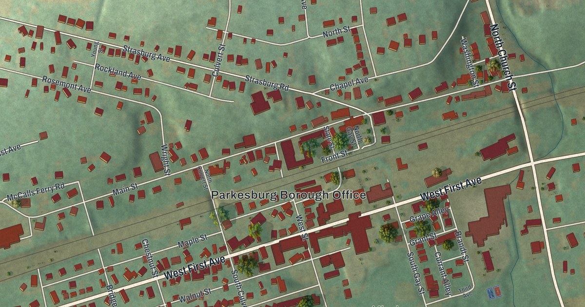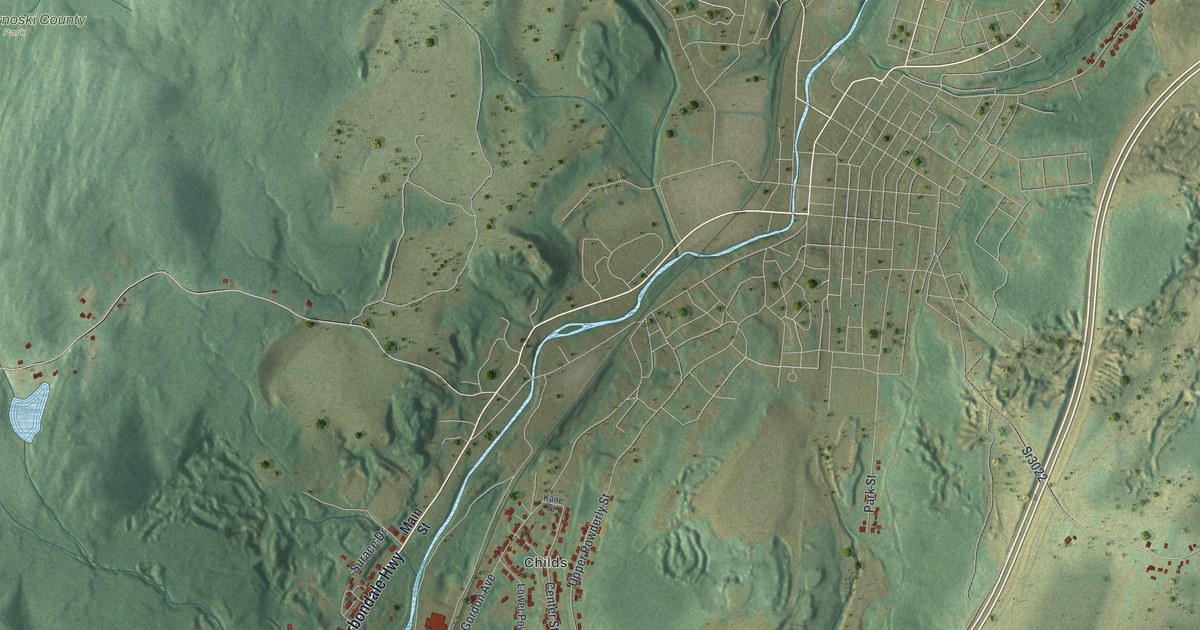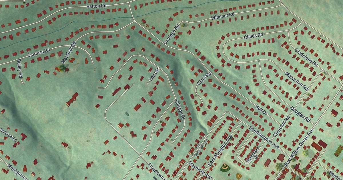
If you grew up on a Wyndmoor street like Willow Grove Avenue or Stotesbury Avenue, this map will feel familiar. It's a modern aerial view of Wyndmoor in Montgomery County, Pennsylvania, made from modern data and given a vintage look. Every building is a small red shape set on soft green hills. Shaded ground shows how the land rises and falls. A rail line curves along the right side, and Mermaid Park sits near the lower right.
Willow Grove Avenue, Stenton Avenue and Mermaid Park
On this map you'll find Willow Grove Avenue, East Willow Grove Avenue, Stenton Avenue, Flourtown Avenue, Stotesbury Avenue, Wyndmoor Avenue, Paper Mill Road, East Mermaid Lane, Montgomery Avenue, Cheltenham Avenue, Trumbauer Drive, Mermaid Park, Enfield, and more. Each red shape is a building, so zoom in on the preview and look for yours.
The Civil War hospital that reached Stenton Avenue
During the Civil War, a huge Army hospital stood beside Stenton Avenue. It was called Mower General Hospital. The state historical marker says it was described as the largest U.S. Army hospital of its day. Its grounds covered 27 acres and reached all the way to Stenton Avenue. It had some 3,600 beds. Wounded soldiers were cared for there from January 1863 to May 1865. In that time it treated over 20,000 patients. The noted architect John McArthur Jr. designed it. After the war, it was torn down. Today the marker stands at Willow Grove Avenue and Wyndmoor Street, on the Philadelphia side. You can find Stenton Avenue and Willow Grove Avenue on the map.
Two historic buildings on Eastern and Stenton Avenues
Two Wyndmoor buildings are listed on the National Register of Historic Places. The Stotesbury Club House stands at 7830 Eastern Avenue. It was listed in 1985. The John Welsh House is at 8765 Stenton Avenue, and it joined the list in 1990. You can find Eastern Avenue and Stenton Avenue on the print.
Wyndmoor, from Enfield to Mermaid Park
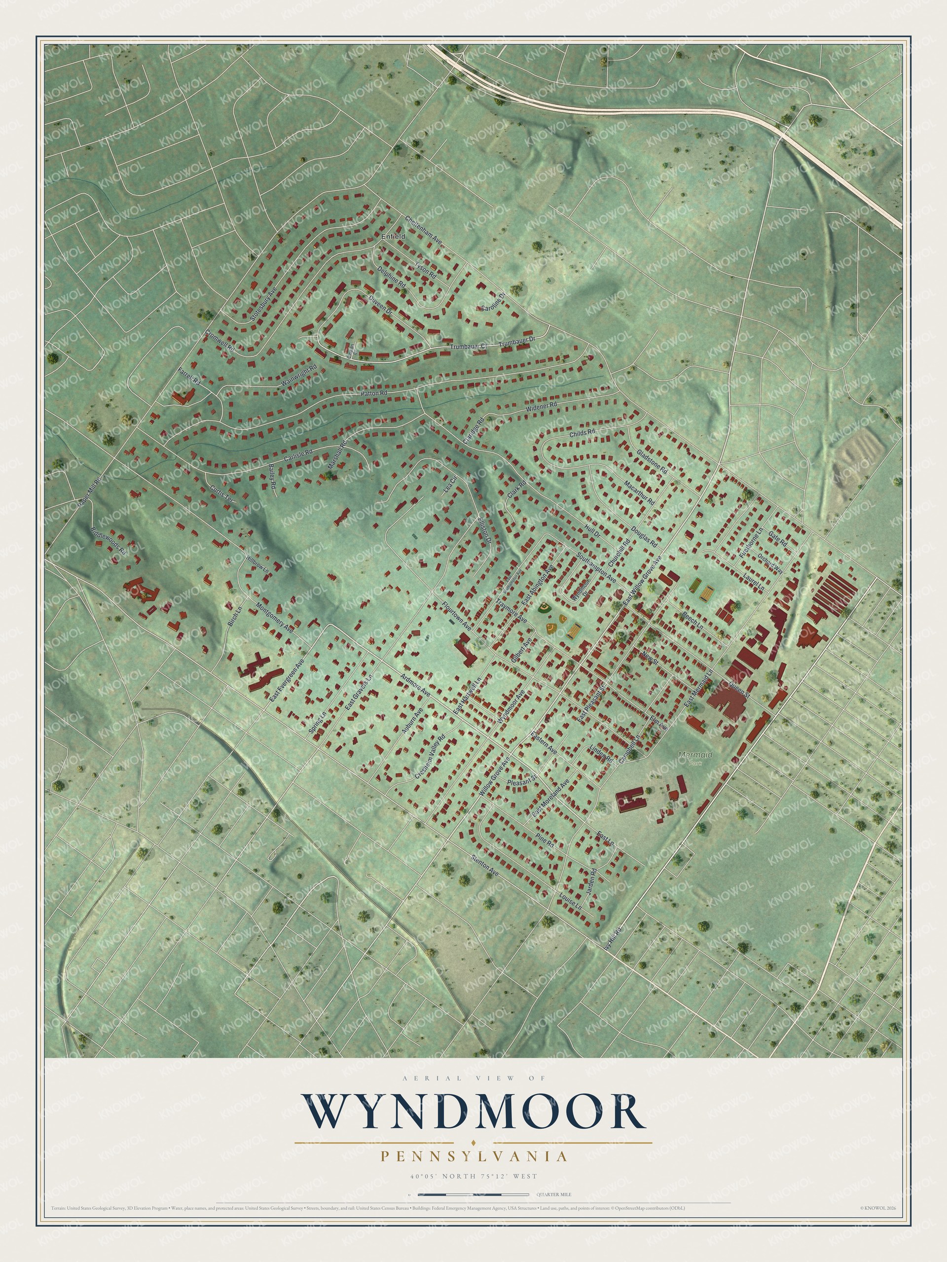
Created by KNOWOL in 2026, this print shows Wyndmoor's streets and red buildings over soft green shaded hills, with a cream title panel at the bottom. The panel reads "Aerial View of Wyndmoor, Pennsylvania" with the line 40°05' North 75°12' West.
It fits a living room, a home office or a front hall. It makes a good gift for someone who grew up near Mermaid Park or moved away from Willow Grove Avenue. Open the preview and look for your street. See sizes and frames for the Wyndmoor map.