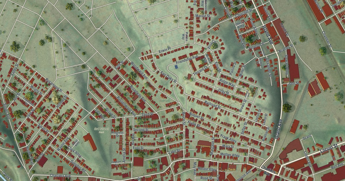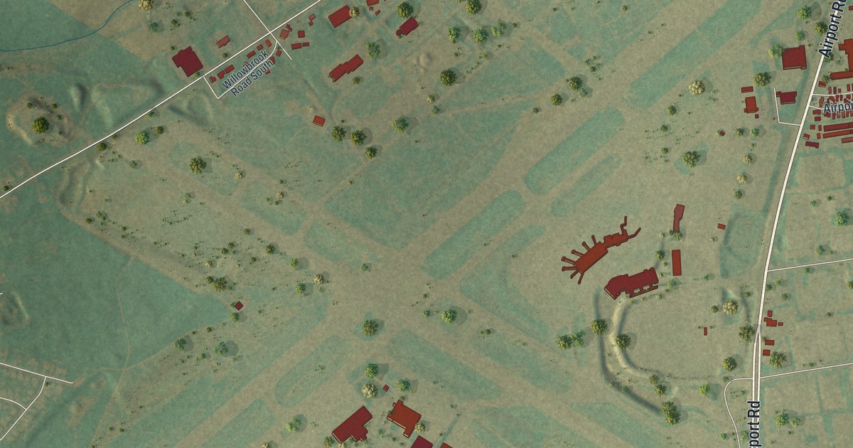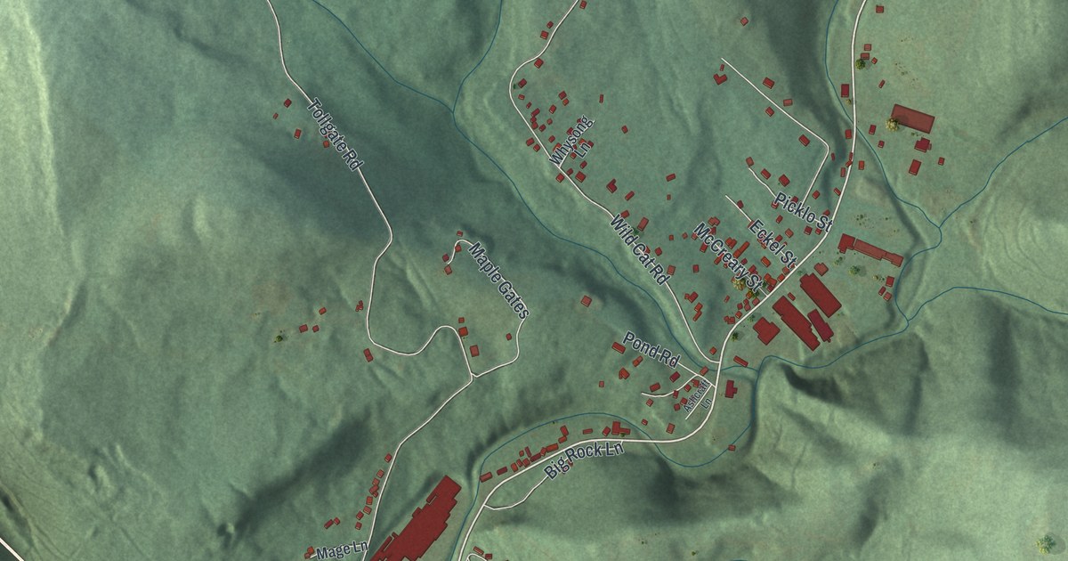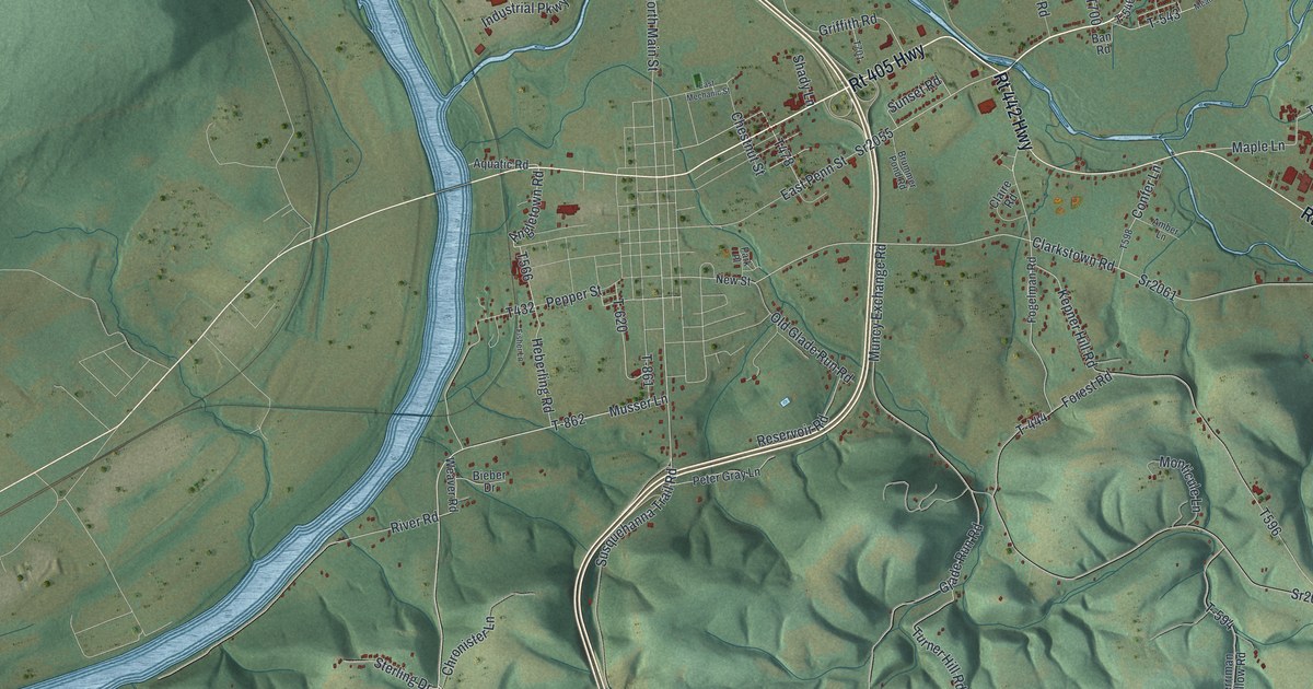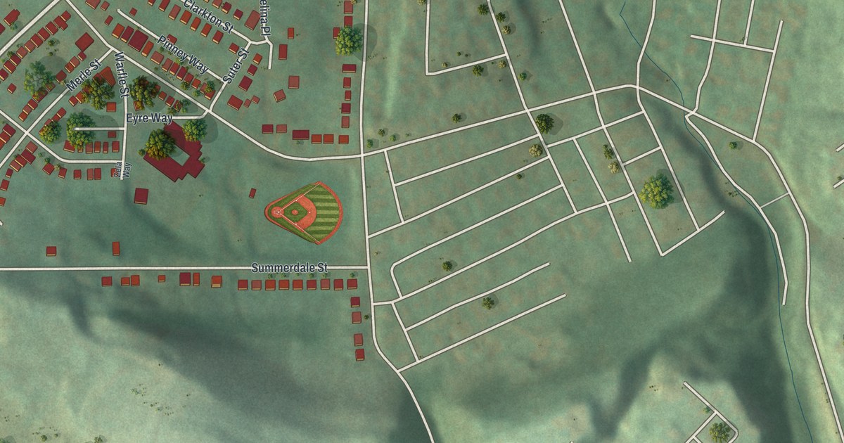
If you grew up in Windgap, look for your old street on this print. It's a modern aerial view of Windgap in Allegheny County, Pennsylvania, made with modern data and a vintage feel. Red buildings stand out against green hills, with pale roads and blue water.
Windgap Avenue and Middletown Road
On this map you'll find Windgap Avenue, Middletown Road, Chartiers Avenue, Hollywood Cemetery, Harlow Street, Harrisburg Street, Summerdale Street, Mayfair Street, Clearfield Street, Belhurst Avenue, Kathy Drive, and more. Each red shape is a building, so zoom in on the preview and look for yours.
Chartiers Avenue is printed on this map, and Langley High School stands at Sheraden Boulevard and Chartiers Avenue. The National Register record places Langley High School at Sheraden Boulevard and Chartiers Avenue. The school was added to the National Register of Historic Places in September 1986.
Hollywood Cemetery and the red rooftops
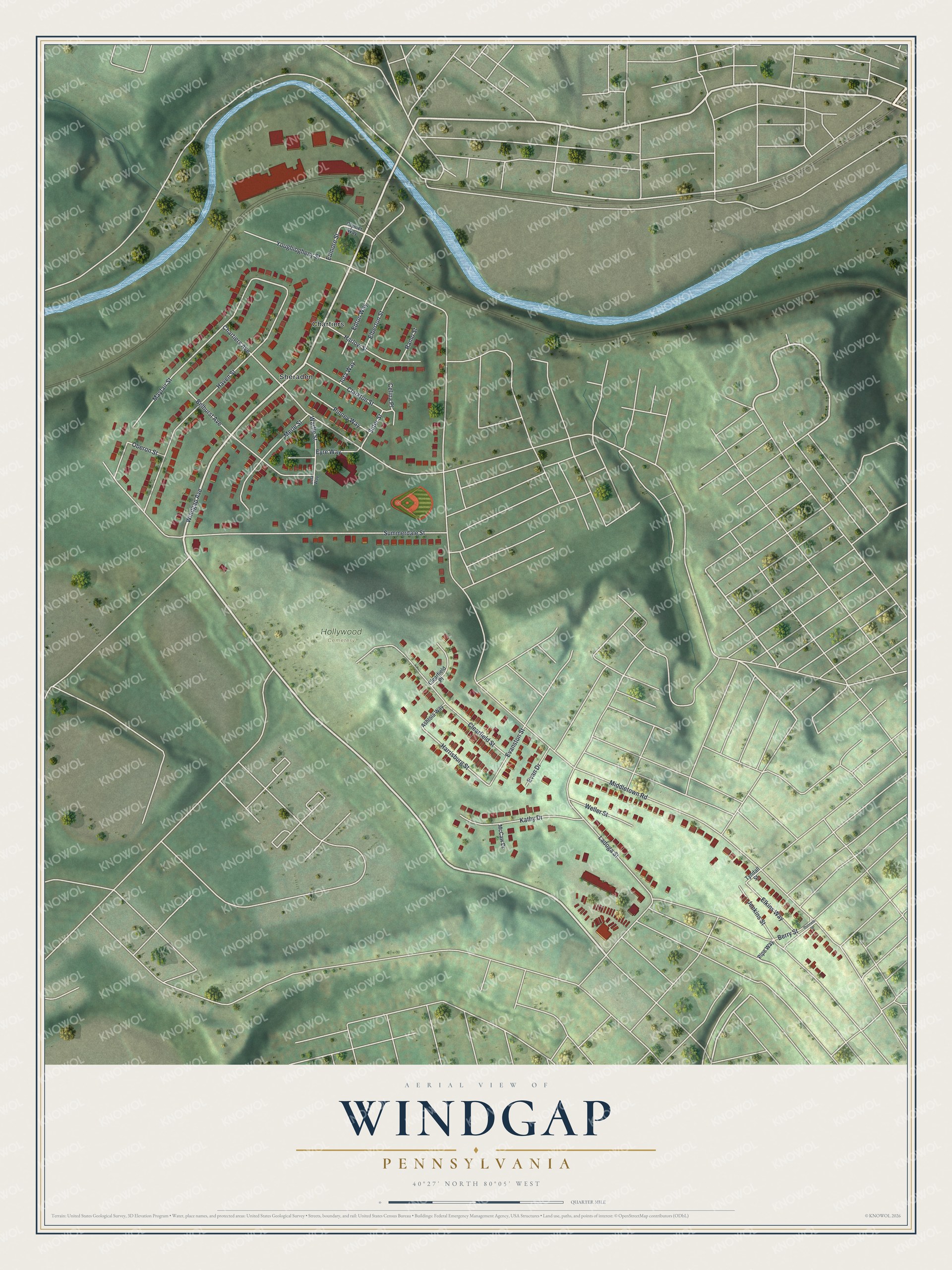
Created by KNOWOL in 2026, the print pairs soft green hills with red buildings, blue water, and a cream border. The title panel reads AERIAL VIEW OF WINDGAP, PENNSYLVANIA, with 40°27' NORTH 80°05' WEST below.
Hollywood Cemetery sits near the center of the print, with Windgap Avenue and Middletown Road around it. Hang it in a living room, hallway, or home office. It's a thoughtful gift for someone who grew up along Windgap Avenue and now lives far away. Open the preview and find the streets you'd show them first. See sizes and frames for the Windgap map.