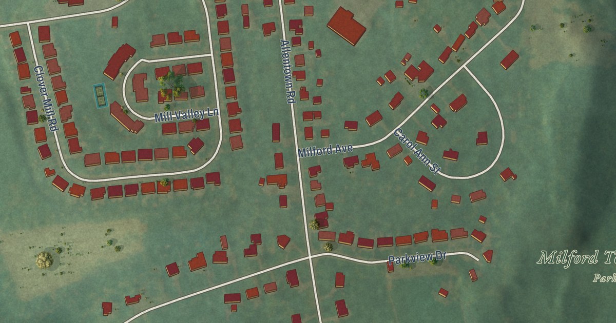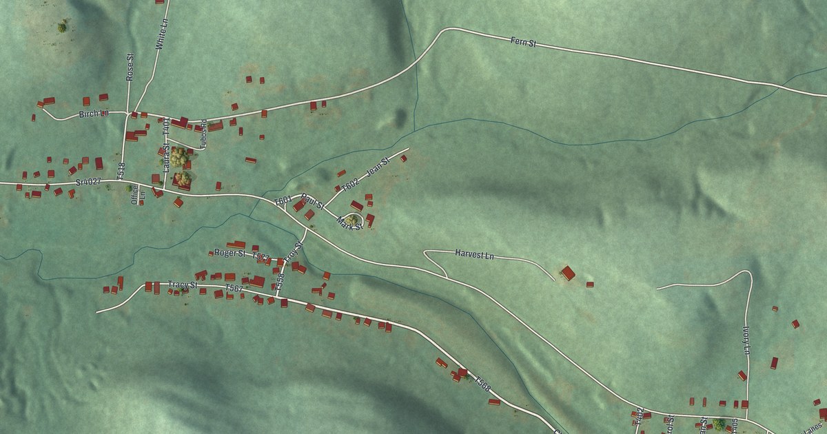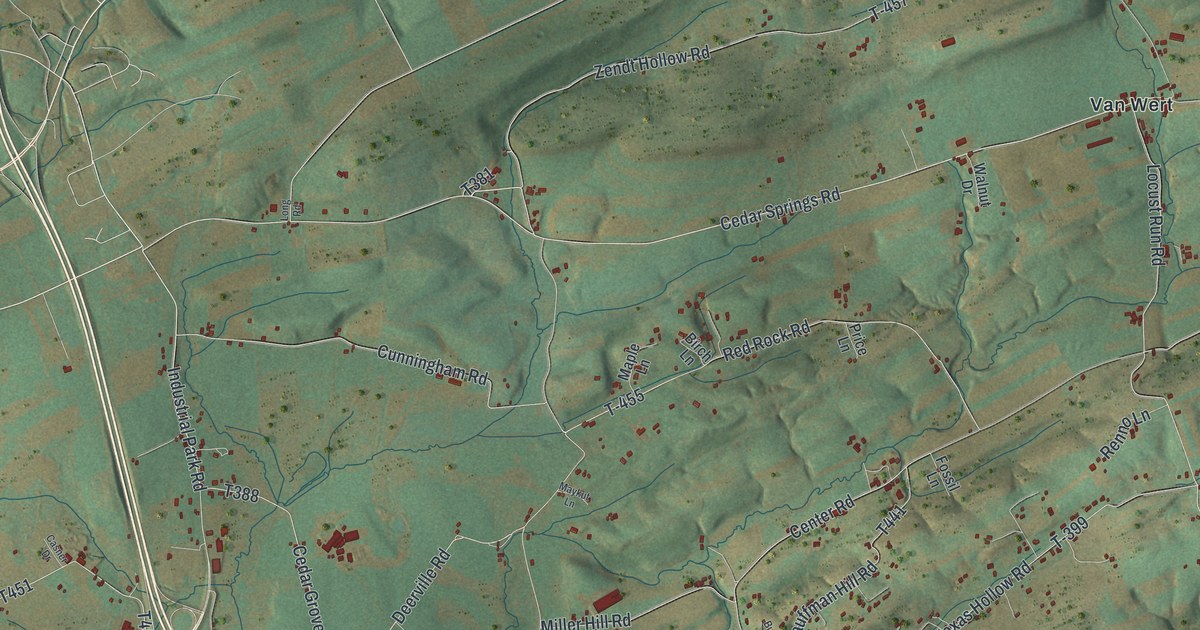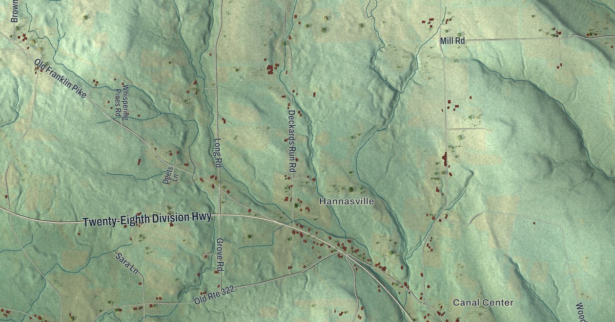
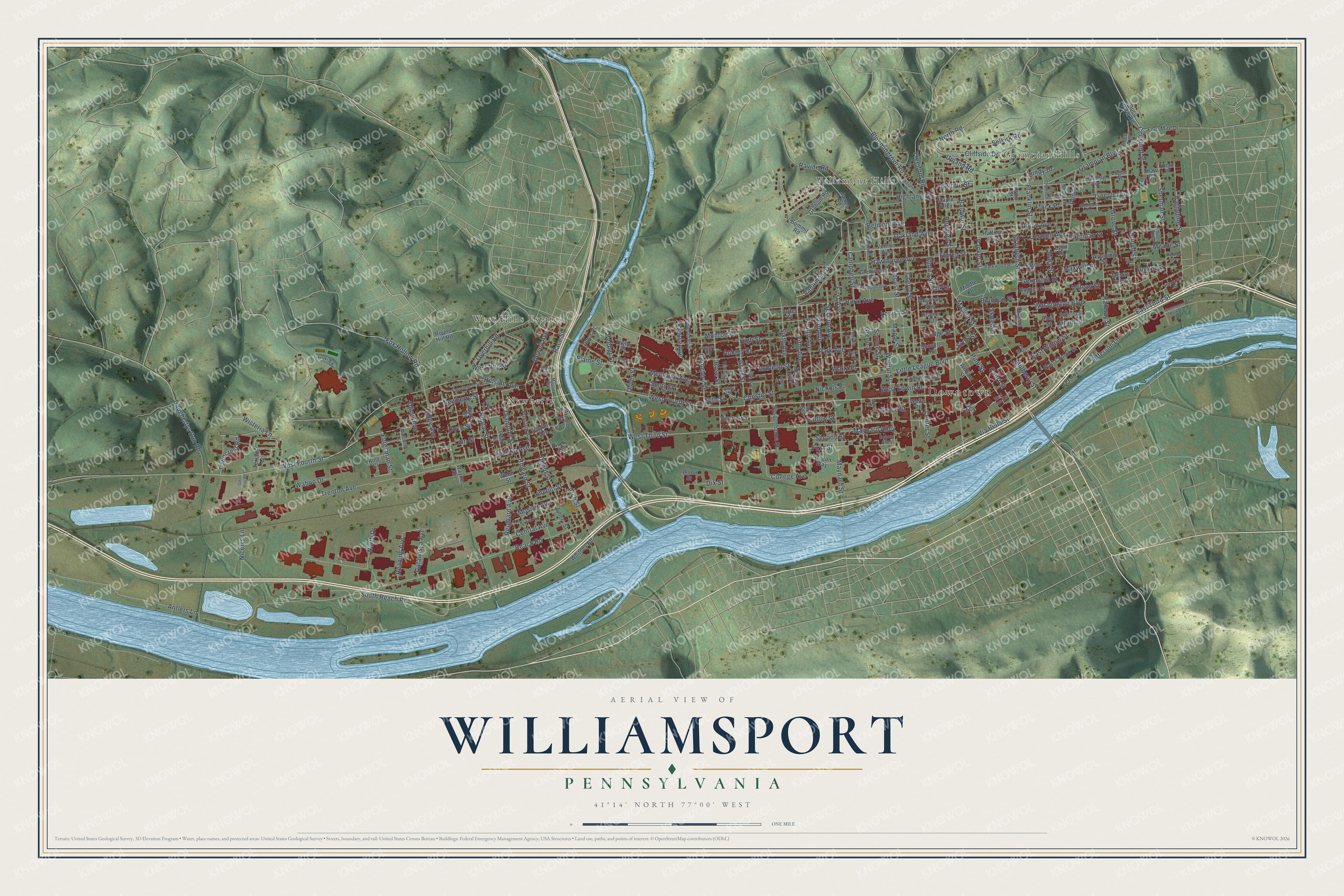
This beautifully detailed map of Williamsport, Pennsylvania was created in 2026 using aerial imagery combined with modern topographical, census, street and landmark data. It’s a one-of-a-kind view of Williamsport that combines accurate data with a vintage aesthetic. The map shows every building in its true location, many of the roads carry their names, and the shaded topographic relief shows the shape of the land.
Explore an aerial view of Williamsport, Pennsylvania
On the map you’ll find Downtown, Grampian Hills, Vallamont Hills, Bowman Field, Brandon Park, Newberry, and West Hills Estates, along with Campbell Street, Rural Avenue, Vallamont Drive, Fifth Avenue, Market Street, and more. If you look closely you can even find your house accurately drawn in its correct location. Zoom in on the preview to look for yours.
Did you know this piece of Williamsport, Pennsylvania history?
On June 6, 1939, kids played the very first Little League Baseball game on a sandlot beside Bowman Field. Carl Stotz dreamed up the idea of the league. He managed the first three teams along with Bert and George Bebble. Williamsport is known as the birthplace of Little League.
Take a closer look at the Williamsport map
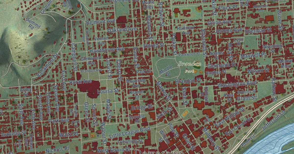
Street and place names on the Williamsport, Pennsylvania map
These names are printed on the map of Williamsport, Pennsylvania.
Places: Downtown, Grampian Hills, Vallamont Hills, Brandon Park, Newberry and West Hills Estates.
Streets and roads: Campbell Street, Rural Avenue, Vallamont Drive, Fifth Avenue, Market Street, Newberry Street, West Third Street, East Third Street, Poplar Street, Dewey Avenue, Fourth Avenue, Federal Avenue.
More street names, A to Z
Adams Street, Almond Street, Ames Place, Andrews Court, Anne Street, Anthony Street, Antlers Lane, Arch Street, Arnold Street, Artley Street, Aubrey Court, Aubry Place, Baldwin Street, Beeber Street, Belmont Avenue, Blaine Street, Bloomingrove Road, Braine Street, Brandon Avenue, Brandon Place, Bridge Street, Catawissa Avenue, Catherine Street, Celtis Street, Cemetery Street, Center Street, Central Avenue, Charlotte Street, Cherry Street, Chester Street, Chestnut Street, Clark Street, Cliffside Drive, College Avenue, College Place, Commerce Park Drive, Court Street, Daughertys Run Road, Depot Street, Diamond Street, Dix Street, Dove Street, East Church Street, East Street, East Willow Street, Eighth Avenue, Eldred Street, Elizabeth Street, Elmira Street, Emery Street, Fairview Terrace, First Avenue, First Street, Flock Place, Florence Street, Foresman Street, Four Mile Drive, Fox Hollow Road, Franklin Street, Freedom Road, Funston Avenue, Germania Street, Glenwood Avenue, Glynn Avenue, Grace Street, Graham Road, Grampian Boulevard, Grant Street, Green Street, Grier Street, Grove Street, Hadley Street, Hadtner Avenue, Hagan Way, Hancock Street, Harding Avenue, Hawthorne Avenue, Hepburn Street, Herdic Street, Hiem Place, Highland Terrace, High Street, Hillside Avenue, Hively Place, Howard Street, Huffman Avenue, Hughes Street, Isabella Street, James Road, Jefferson Lane, Jerome Avenue, King Court, Kramer Court, Krouse Avenue, Lincoln Avenue, Lincoln Street, Linn Street, Little League Boulevard, Locust Street, Logue Street, Louisa Street, Lundy Drive, Lycoming Street, Lyon Place, Mahaffey Street, Maple Alley, Maple Street, Mary Street, Maxwell Place, Maynard Alley, Maynard Street, Meade Street, Memorial Avenue, Menne Alley, Middle Drive, Mifflin Place, Monroe Place, Moore Avenue, Mosser Avenue, Mountain Avenue, Mulberry Street, Nicelys Lane, Nichols Place, North Drive, North Road, Oakland Avenue, Oliver Avenue, Oliver Street, Overhill Road, Packer Street, Park Avenue, Park Court, Park Lane, Park Street, Parkwood Place, Pearl Street, Penn Lane, Penn Street, Pine Street, Poco Farm Road, Poco Lane, Race Street, Railway Street, Ravine Road, Reach Road, Reading Avenue, Reighard Avenue, Ridge Avenue, Rose Street, Ross Street, Round Hill Road, Royal Avenue, Ryan Street, School Alley, Scott Street, Scoville Place, Second Avenue, Second Street, Selkirk Road, Seneca Avenue, Seth Street, Shaw Place, Sheridan Street, Sherman Street, Sixth Avenue, Sixth Street, South Reach Road, Spruce Street, State Street, Steel Way Road, Sue Alley, Summit Road, Susquehanna Street, Taylor Place, Tenth Avenue, Terrace Lane, Third Avenue, Thomas Avenue, Towncrest Road, Trenton Avenue, Tucker Street, Union Avenue, Upland Road, Vernon Avenue, Via Bella Street, Vine Avenue, Wahoo Drive, Walnut Street, Waltz Place, Washington Boulevard, Watson Street, Wayne Avenue, Webb Street, West Church Street, West Edwin Street, West Fourth Street, West Hills Drive, West Street, Whitney Road, Wildwood Boulevard, Williams Road, William Street, Wilson Street, Wisteria Lane, Wolfe Place, Woodland Avenue, Woodmont Avenue, Wood Street, Wyoming Street.
See the Williamsport, Pennsylvania map on a wall
The Williamsport map as an 18 x 24 inch print in a black frame.

This beautifully detailed map of Williamsport makes an attractive addition to your office, library, or den, and it can even be used to teach children the geography and history of the area. It also makes a great gift for anyone with Williamsport roots. When you’re done exploring, click here to get your copy of the Williamsport map.