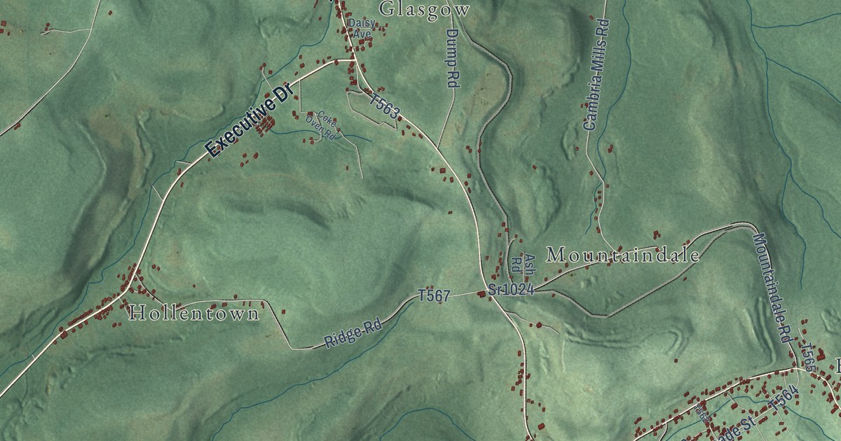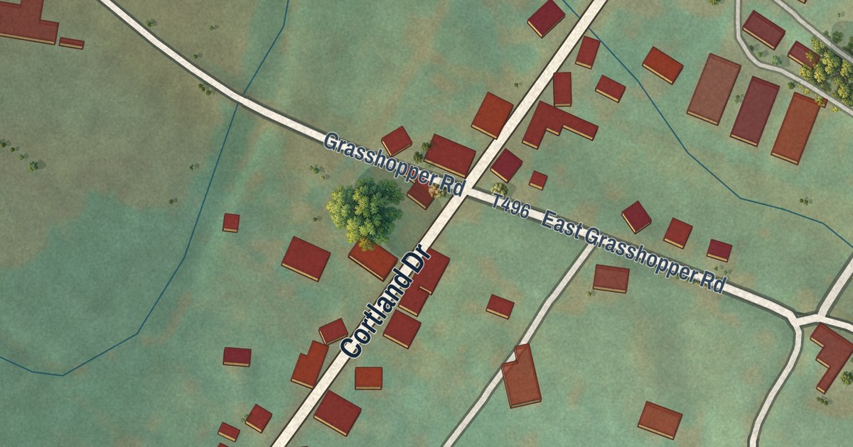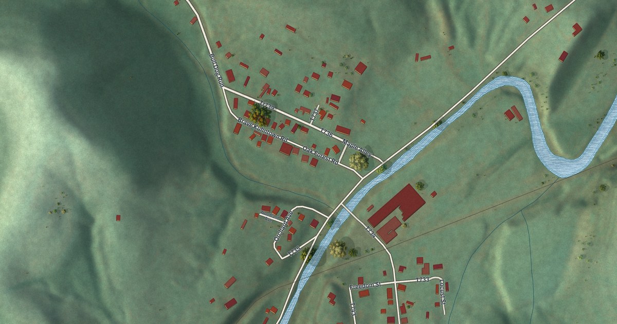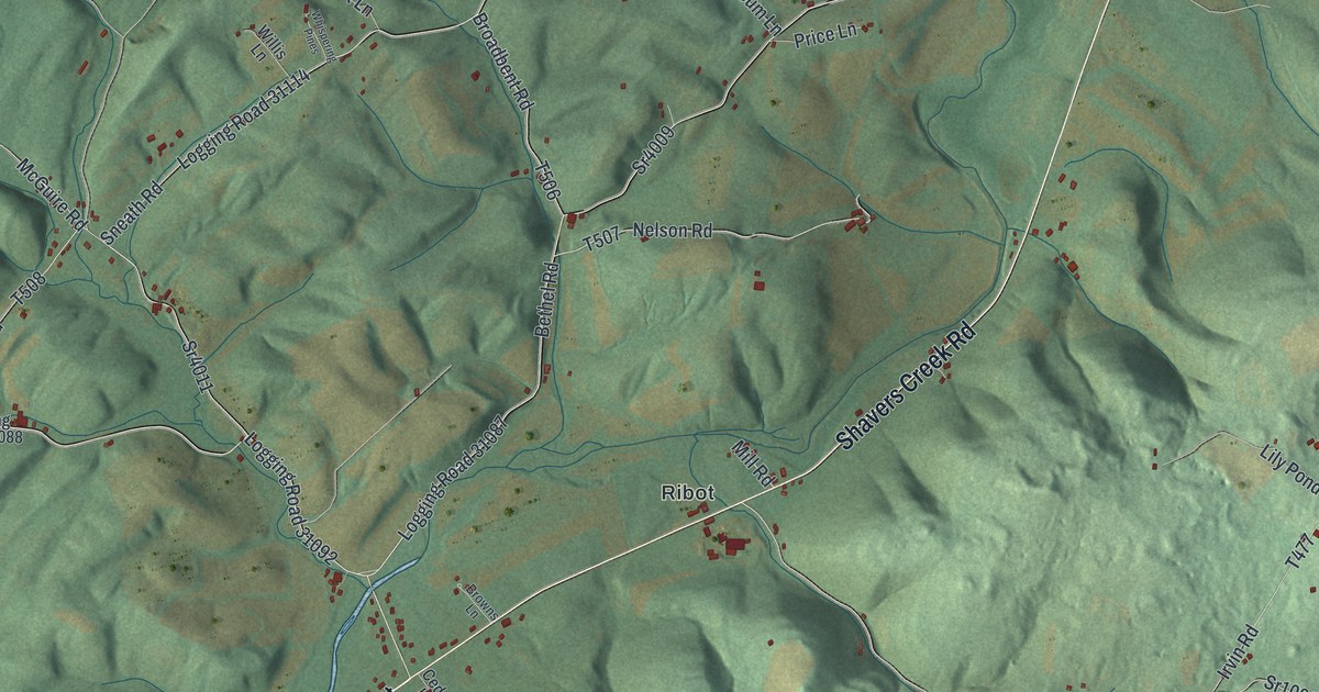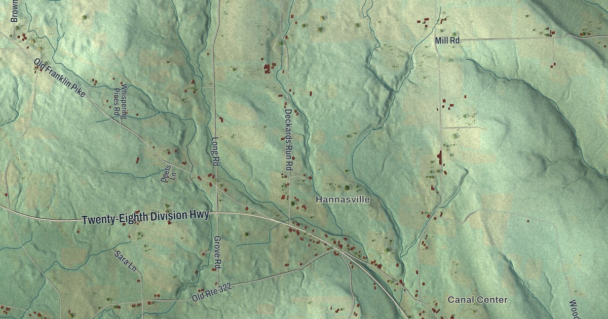
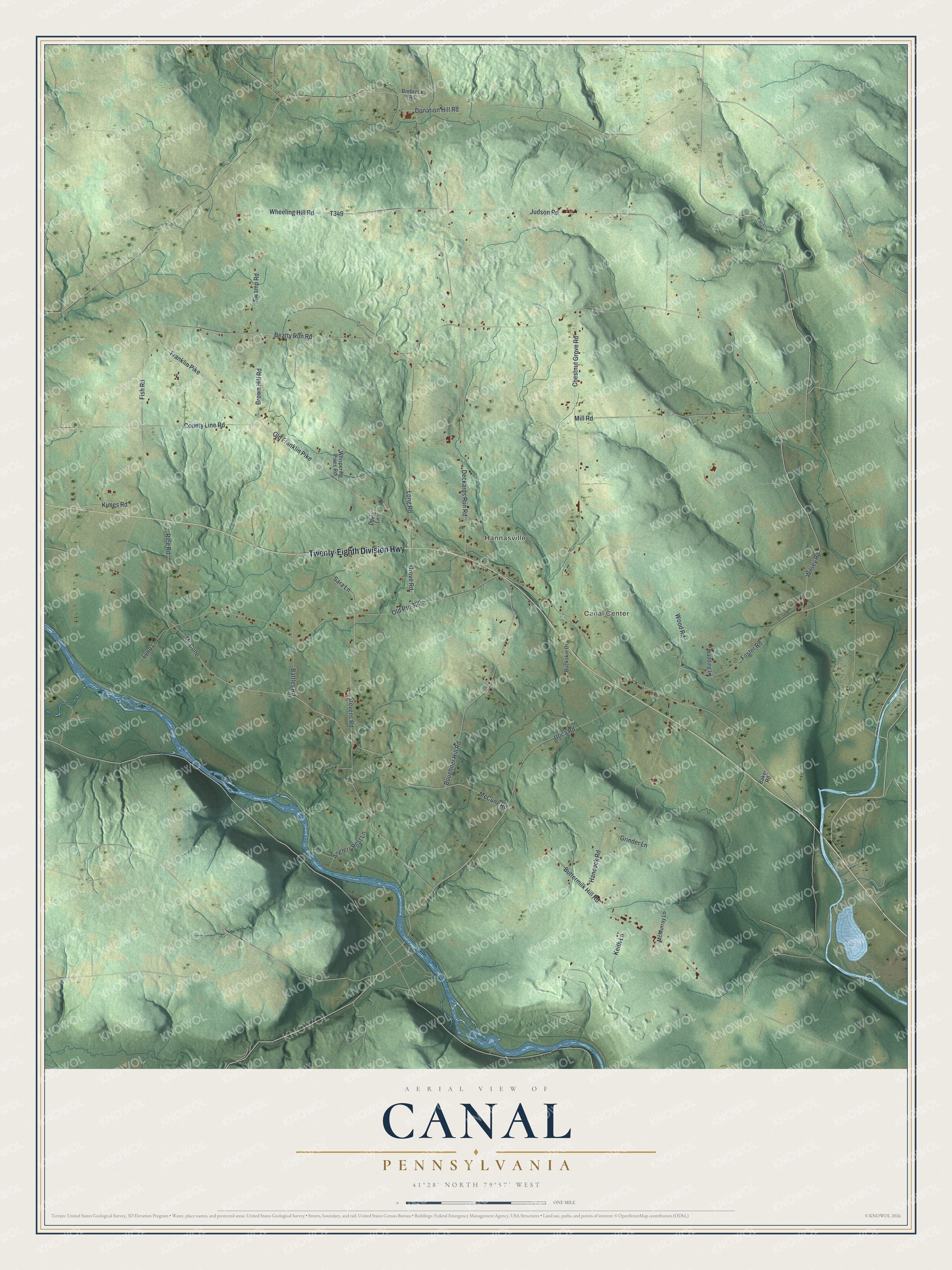
This beautifully detailed map of Canal, Pennsylvania was created in 2026 using aerial imagery combined with modern topographical, census, street and landmark data. It’s a one-of-a-kind view of Canal that combines accurate data with a vintage aesthetic. The map shows every building in its true location, many of the roads carry their names, and the shaded topographic relief shows the shape of the land.
Explore an aerial view of Canal, Pennsylvania
On the map you’ll find Canal Center and Hannasville, along with Twenty-Eighth Division Highway, McCune Road, Wheeling Hill Road, Swamp Road, Stevens Road, Wilsey Road, Beatty Run Road, Boughner Hill Road, Franklin Pike, and more. If you look closely you can even find your house accurately drawn in its correct location. Zoom in on the preview to look for yours.
Did you know this piece of Canal, Pennsylvania history?
From the 1890 History of Venango County, Pennsylvania: "Among the first settlers in the central part of the township was William Brown who located at Canal Center, where he developed a farm and opened a tavern for the accommodation of such travelers as saw fit to accept and pay for his hospitalities."
Take a closer look at the Canal map
Street and place names on the Canal, Pennsylvania map
These names are printed on the map of Canal, Pennsylvania.
Places: Canal Center and Hannasville.
Streets and roads: Twenty-Eighth Division Highway, McCune Road, Wheeling Hill Road, Swamp Road, Stevens Road, Wilsey Road, Beatty Run Road, Boughner Hill Road, Franklin Pike, Old Route 322, Donation Hill Road, Wood Road.
More street names, A to Z
Anglers Rest Lane, Baker Road, Battles Road, Brebreck Road, Brown Hill Road, Buckskin Drive, Buttermilk Hill Road, Chestnut Grove Road, County Line Road, Deckards Run Road, Deets Lane, Fish Road, Foster Road, Grinder Lane, Grove Road, Hancock Road, Judson Road, Keith Lane, Kimes Road, Long Road, Lynn Lane, McCune, McMurray Lane, Mill Road, Old Franklin Pike, Rice Road, Sara Lane, Utica Road, Wadding Lane, Whispering Pines Road.
See the Canal, Pennsylvania map on a wall
The Canal map as an 18 x 24 inch print in a black frame.

This beautifully detailed map of Canal makes an attractive addition to your office, library, or den, and it can even be used to teach children the geography and history of the area. It also makes a great gift for someone who left Canal and still calls it home. When you’re done exploring, click here to get your copy of the Canal map.