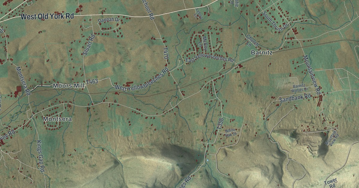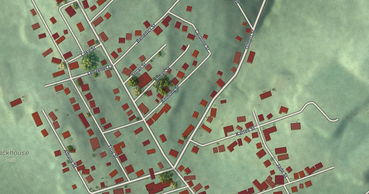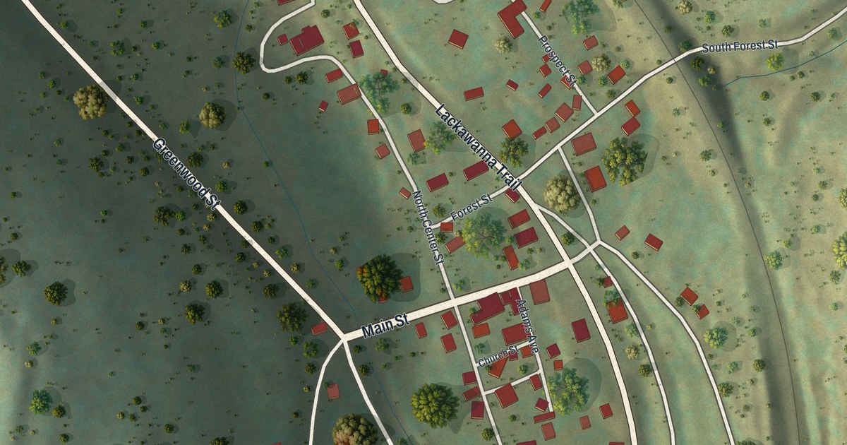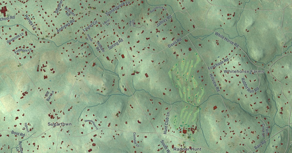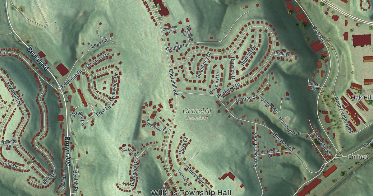
If you grew up in Eastmont, Linhart or Oak Hill, this map was made with you in mind. It's a new aerial view of Wilkins Township in Allegheny County, Pennsylvania, built from modern data and given a vintage look. Shaded green hills fold around the streets, and every building is a small red shape. Wilkins Township Hall sits near the center, with Churchill Cemetery just above it and William Penn Highway running across the upper right.
Eastmont, Linhart and Oak Hill on the Map
On this map you'll find William Penn Highway, Greensburg Pike, Northern Pike, Thompson Run Road, Brown Avenue, Beulah Road, Churchill Road, Penn Center Boulevard, Electric Avenue, Wilkins Township Hall, Churchill Cemetery, Eastmont, Linhart, Oak Hill, and more. Each red shape is a building, so zoom in on the preview and look for yours.
How Wilkins Split From Pitt Township in 1821
Wilkins began as part of a much bigger place. In 1788 the new county was split into seven townships. The most important one was Pitt Township. Over the years, piece after piece was cut from it. On November 10, 1821, a court made its eastern part into a new township called Wilkins. It was named for the Hon. William Wilkins. Wilkins got its present borders as new townships were set up around it: Penn in 1850, Sterrett in 1879 and Braddock in 1885. That story comes from the 1889 History of Allegheny County. The book also lists the early families here. Among them are Christian Linheart and James B. Linheart. Today the name Linhart is printed on the right side of the map.
Northern Pike, Greensburg Pike and Thompson Run
The same book says two turnpikes crossed the township from east to west. One was the Northern turnpike. The other ran from Pittsburgh to Greensburg. You can find Northern Pike and Greensburg Pike on the print. The east line goes back even further. In June 1789, Thompson's run became the border between Pitt and Plum townships. Thompson Run Road still carries that name. Coal mattered here as well, and short rail lines tied the mines to the Pennsylvania Railroad. In 1880, Wilkins had 4,426 people. The Census Bureau counted 6,350 in 2020.
Keep Eastmont and Linhart Close
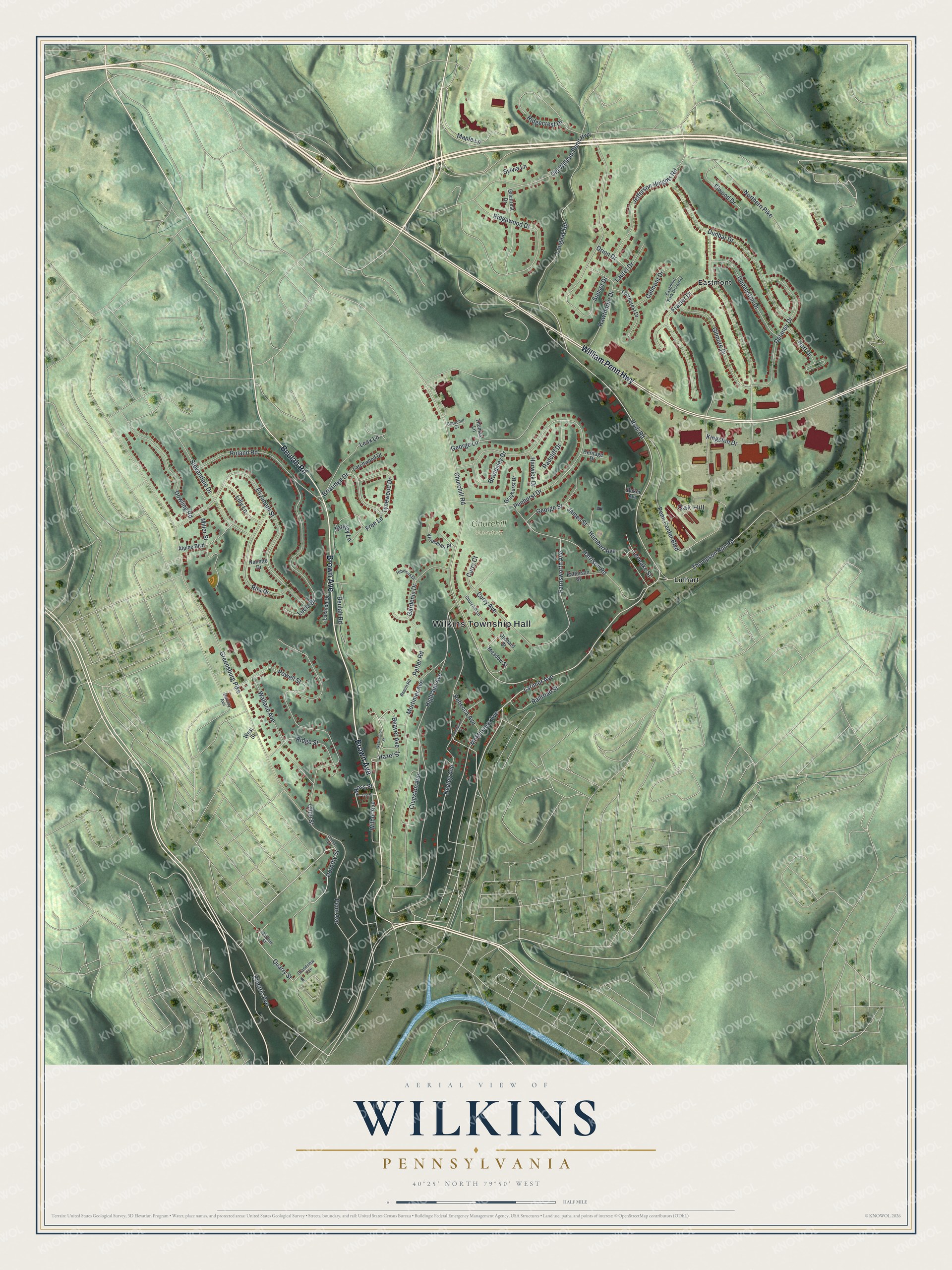
Created by KNOWOL in 2026, this print shows Wilkins in soft greens with shaded hills, pale roads and red building shapes, with a blue creek along the bottom edge. The cream title panel reads "AERIAL VIEW OF WILKINS, PENNSYLVANIA" above the line "40°25' NORTH 79°50' WEST."
It fits a den, a hallway or a home office. It's a good gift for someone who grew up near Wilkins Township Hall or Churchill Cemetery and has since moved away. Open the preview and find your street. See sizes and frames for the Wilkins map.