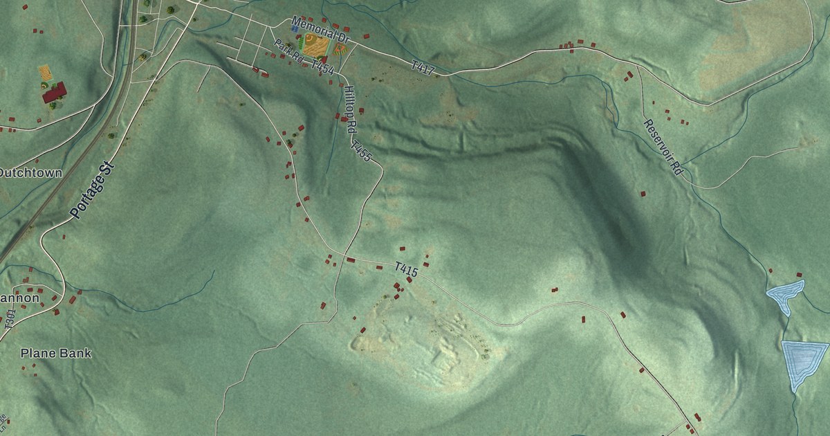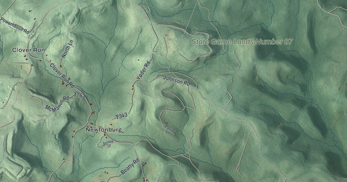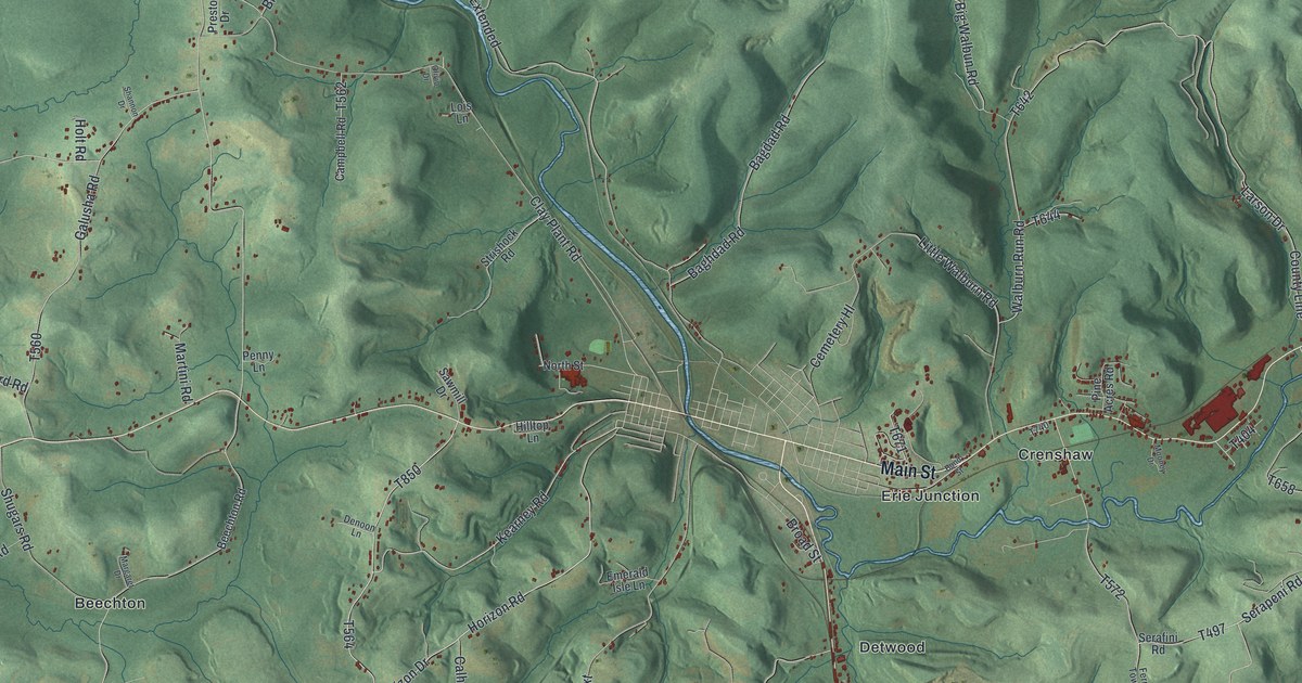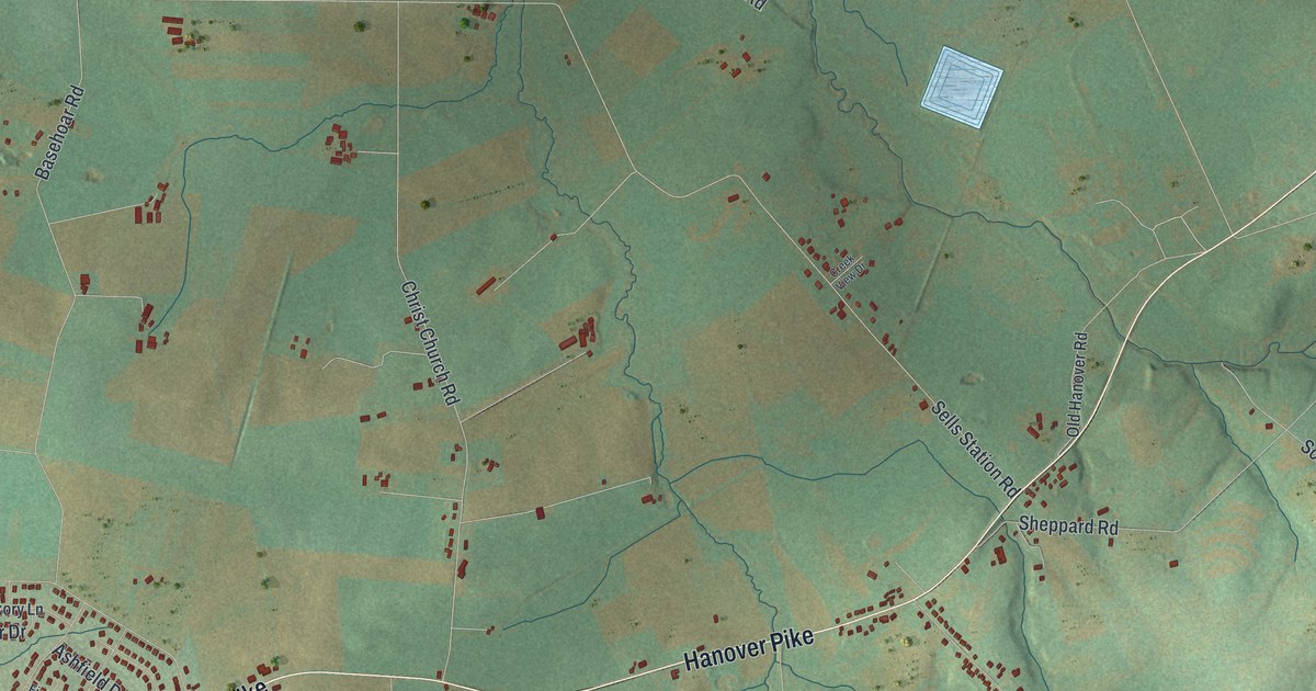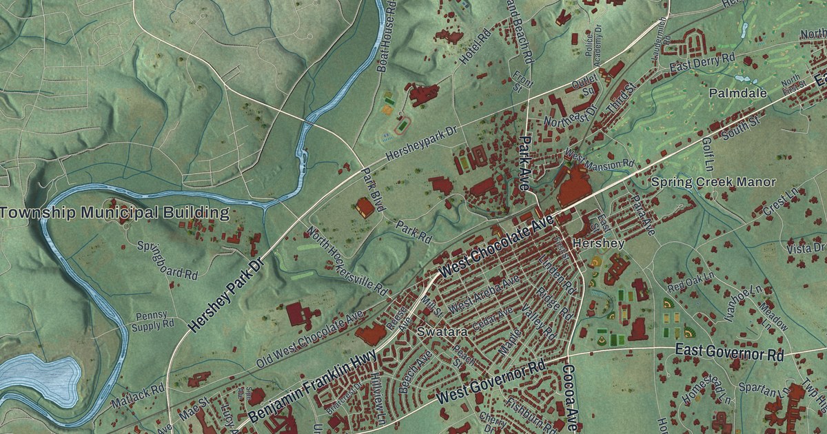
This beautifully detailed map of Derry, Dauphin County, Pennsylvania was created in 2026 using aerial imagery combined with modern topographical, census, street and landmark data. It’s a one-of-a-kind view of Derry that combines accurate data with a vintage aesthetic. The map shows every building in its true location, many of the roads carry their names, and the shaded topographic relief shows the shape of the land.
Explore an aerial view of Derry, Dauphin County, Pennsylvania
On the map you’ll find Derry Township Municipal Building, Clifton, Alpine Heights, Edgewood Hills, Glenn Acres, Hershey, Hockersville, Laurel Woods, Oakmont, Palmdale, Sandhill, Spring Creek Manor, and more. If you look closely you can even find your house accurately drawn in its correct location. Zoom in on the preview to look for yours.
Did you know this piece of Derry, Dauphin County, Pennsylvania history?
Derry Township is home to Hershey, with its famous chocolate factory and amusement park. The sons of William Penn created the township on August 1, 1729. In 2002, township supervisors proposed changing its name to Hershey Township. Voters turned the idea down, with 54 percent against it.
Take a closer look at the Derry, Dauphin County map
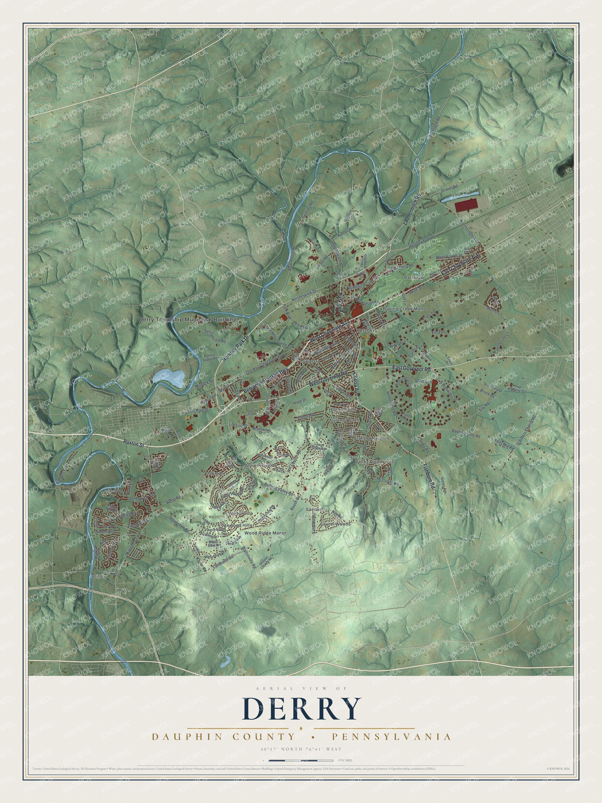
Street and place names on the Derry, Dauphin County, Pennsylvania map
These names are printed on the map of Derry, Dauphin County, Pennsylvania.
Places: Derry Township Municipal Building, Clifton, Alpine Heights, Edgewood Hills, Glenn Acres, Hershey, Hockersville, Laurel Woods, Oakmont, Palmdale, Sandhill, Spring Creek Manor, Stafford Heights, Swatara, Valley View Acres, Waltonville and Wood Ridge Manor.
Streets and roads: West Chocolate Avenue, Paxton Street, Hershey Park Drive, East Chocolate Avenue, Cocoa Avenue, Fishburn Road, Laudermilch Road, East Governor Road, Benjamin Franklin Highway, West Governor Road, Park Avenue, North Hockersville Road.
More street names, A to Z
Amber Drive, Appenzell Drive, Bachmanville Road, Beech Avenue, Bindnagle Road, Boat House Road, Bradley Avenue, Briarcrest Drive, Brook Drive, Brookline Drive, Bullfrog Valley Road, Campus Drive, Carlton Road, Cedar Avenue, Centerview Lane, Cherry Drive, Church Road, Clark Road, Clifton Heights Road, Cornell Drive, Country Lane, County Line Lane, Crest Lane, Deerfield Drive, Deer Run Drive, Division Street, Dunham Drive, Duryea Drive, East Derry Road, East Main Street, East Street, Eby Road, Echo Drive, Edgewood Drive, Eileen Drive, Eliot Drive, Fairdell Drive, Fawn Lane, Felty Mill Road, Fiddlers Elbow Road, First Street, Flintlock Drive, Forest Avenue, Frank Street, Front Street, Gates Road, Gelder Park Drive, Golf Lane, Gramercy Place, Grandview Drive, Gravel Road, Hersheypark Drive, Hill Church Road, Hillcrest Drive, Hilltop Road, Hillview Lane, Homestead Lane, Homestead Road, Hope Drive, Hotel Road, Indian Run Drive, Innsbruck Drive, Ivanhoe Lane, Jacobs Creek Drive, Jill Drive, Joanne Avenue, Kaylor Road, Kieffer Road, Landvater Road, Laurel Ridge Road, Laurie Avenue, Leearden Road, Life Lion Drive, Linden Road, Locust Street, Lucy Avenue, Mae Street, Maple, Matlack Road, McCorkle Road, Meadow Lane, Meadowood Drive, Men-O Lane, Middletown Road, Mill Street, Mount Alem Drive, Muirfield Drive, Northeast Drive, North Fifth Street, North First Street, North Fourth Street, North Lingle Avenue, Nottingham Drive, Nye Road, Old West Chocolate Avenue, Outlet Square, Para Avenue, Park Boulevard, Park Road, Peach Street, Peffley Road, Peggy Drive, Pennsy Supply Road, Police Academy Drive, Quail Hollow Road, Quarry Road, Raleigh Road, Red Fox Drive, Red Oak Lane, Reese Avenue, Ridge Road, Robin Road, Roush Road, Sand Beach Road, Sand Hill Road, Scout Road, Shopes Church Road, Sipe Avenue, Southpoint Drive, South Street, Spartan Lane, Springboard Road, Spring Hill Drive, Stauffers Church Road, Stone Creek Drive, Stoney Run Road, Stoverdale Road, Swatara Road, Tenby Drive, Third Street, Tice Avenue, Twin Oaks Drive, Twp Highway 353, Twp Highway 758, University Drive, Valley Road, Vine Street, Vista Drive, Walton Avenue, Waltonville Road, West Areba Avenue, West Mansion Road, Wexford Road, William Drive, Wood Road, Zell Court.
See the Derry, Dauphin County, Pennsylvania map on a wall
The Derry, Dauphin County map as an 18 x 24 inch print in a black frame.

This beautifully detailed map of Derry, Dauphin County makes an attractive addition to your office, library, or den, and it can even be used to teach children the geography and history of the area. It also makes a great gift for someone who left Derry and still calls it home. When you’re done exploring, click here to get your copy of the Derry, Dauphin County map.