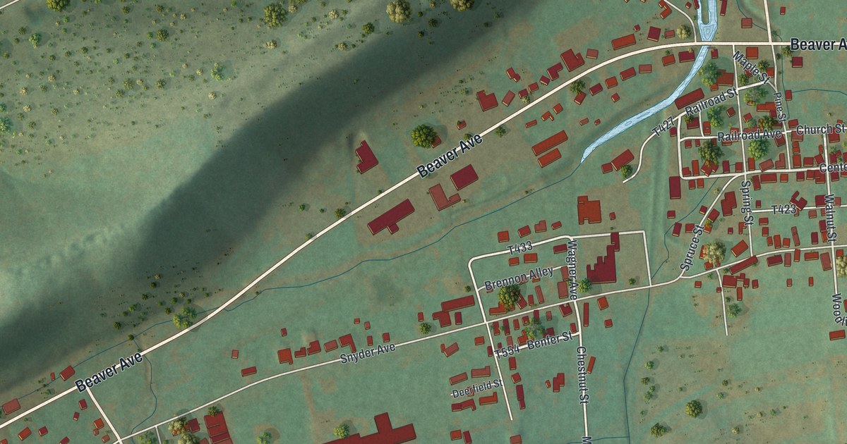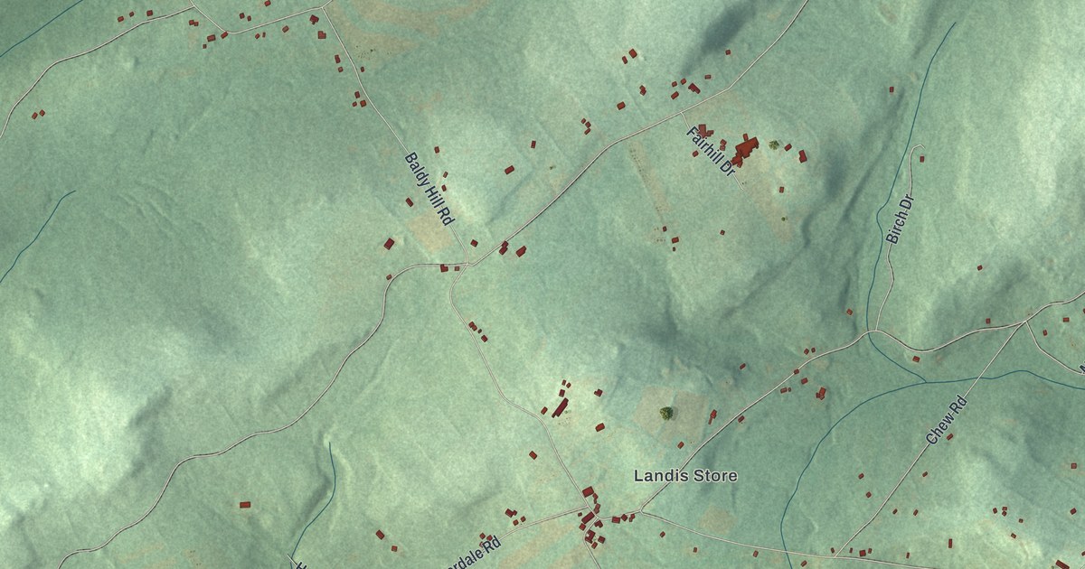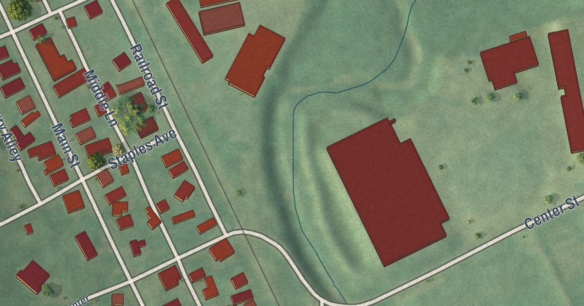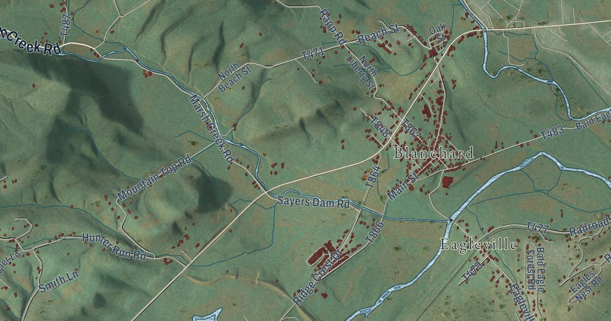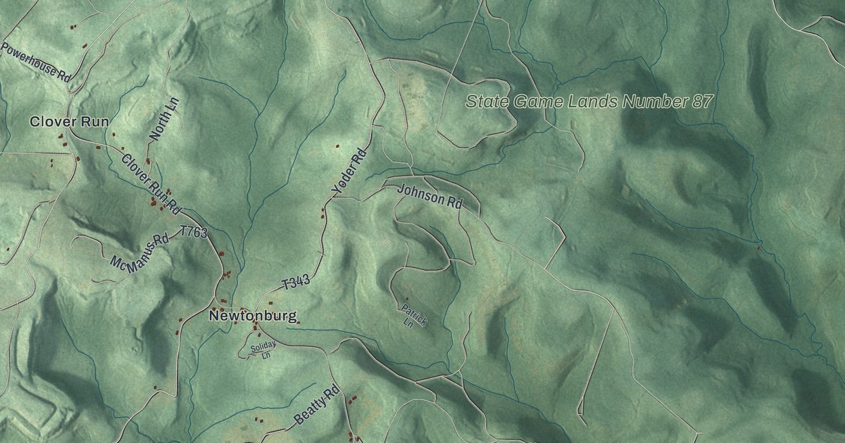
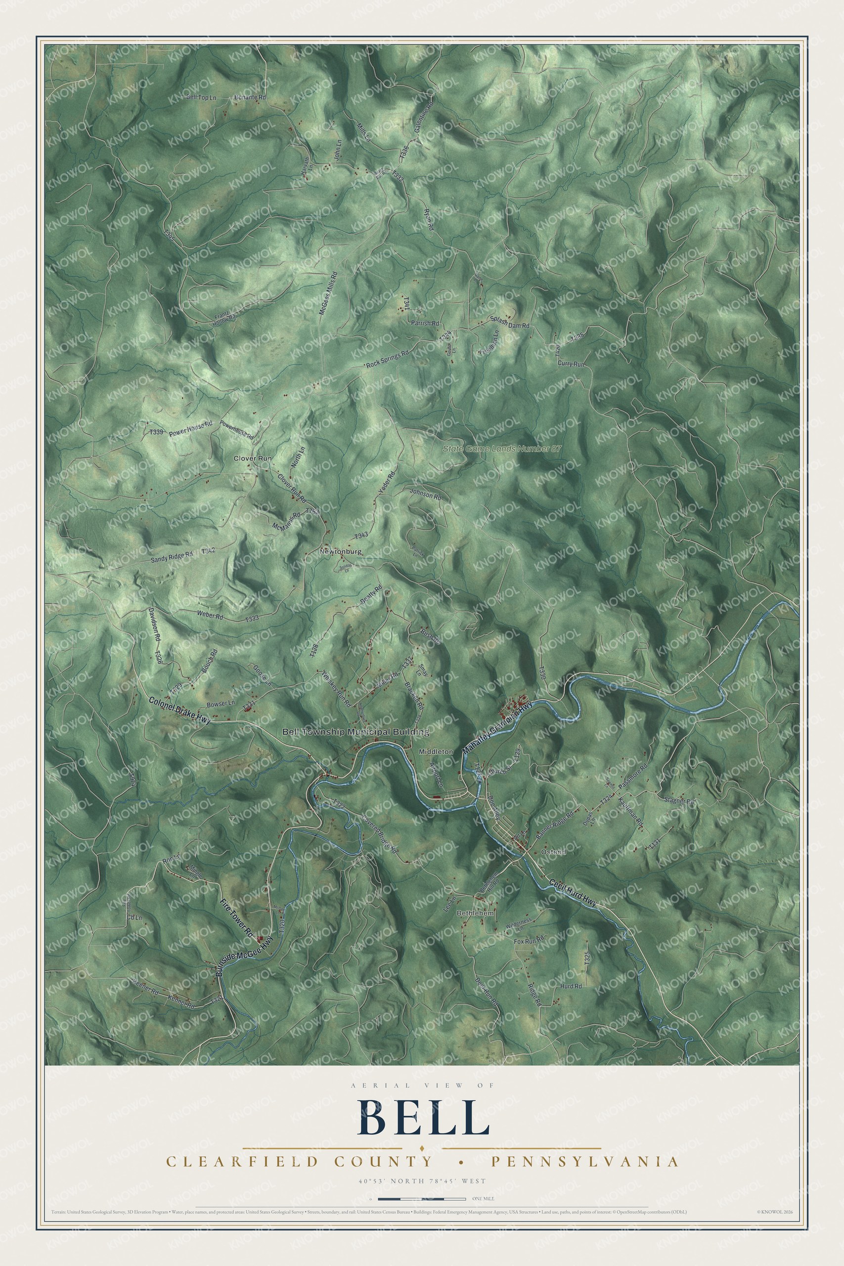
This beautifully detailed map of Bell, Clearfield County, Pennsylvania was created in 2026 using aerial imagery combined with modern topographical, census, street and landmark data. It’s a one-of-a-kind view of Bell that combines accurate data with a vintage aesthetic. The map shows every building in its true location, many of the roads carry their names, and the shaded topographic relief shows the shape of the land.
Explore an aerial view of Bell, Clearfield County, Pennsylvania
On the map you’ll find Bell Township Municipal Building, Bethlehem, State Game Lands Number 87, Clover Run, Middleton, Newtonburg, and Ostend, along with Cecil Hurd Highway, Burnside McGee Highway, Colonel Drake Highway, Mahaffey Grampian Highway, Fire Tower Road, and more. If you look closely you can even find your house accurately drawn in its correct location. Zoom in on the preview to look for yours.
Did you know this piece of Bell, Clearfield County, Pennsylvania history?
From the 1887 History of Clearfield County, Pennsylvania: "On the north of the river the streams that discharge therein are Bear Run, Whisky Run, Miller’s Run, and Laurel Run, neither of which are of any considerable size."
Take a closer look at the Bell, Clearfield County map
Street and place names on the Bell, Clearfield County, Pennsylvania map
These names are printed on the map of Bell, Clearfield County, Pennsylvania.
Places: Bell Township Municipal Building, Bethlehem, State Game Lands Number 87, Clover Run, Middleton, Newtonburg and Ostend.
Streets and roads: Cecil Hurd Highway, Burnside McGee Highway, Colonel Drake Highway, Mahaffey Grampian Highway, Fire Tower Road, Banner Ridge Road, Church Street, Ridge Road, Splash Dam Road, Covered Bridge Road, Hurd Road, Rock Springs Road.
More street names, A to Z
Airport Lane, Art Lane, Beach Run Road, Beatty Road, Bell Top Lane, Bethlehem Hill Road, Bonante Road, Bouch Road, Bowser Lane, Bracken Road, Bush Road, Cb Lane, Clover Run Road, Curry Run, Davidson Road, Deer Run Road, Doe Alley, Dupas Lane, Fox Run Road, Frantz Hollow Road, Freeman Lane, Galentine Road, Game Lane, Goose Lane, Gould Lane, Harvath Lane, John Lane, Johnson Road, Kauffman Road, Keener Road, Kenner Road, Lee Lane, McGee Lane, McGees Mills Road, McManus Road, Miller Road, Mills Lane, Mingle Lane, Newtonburg Road, North Lane, Parrish Road, Passmore Road, Patrick Lane, Power House Road, Powerhouse Road, Ron Lane, Ryan Road, Sandy Ridge Road, Sawmill Lane, Smay Lane, Soliday Lane, Stagner Road, Weber Road, Whiskey Run Road, Wilderness Lane, Yoder Road.
See the Bell, Clearfield County, Pennsylvania map on a wall
The Bell, Clearfield County map as an 18 x 24 inch print in a black frame.

This beautifully detailed map of Bell, Clearfield County makes an attractive addition to your office, library, or den, and it can even be used to teach children the geography and history of the area. It also makes a great gift for someone who left Bell and still calls it home. When you’re done exploring, click here to get your copy of the Bell, Clearfield County map.