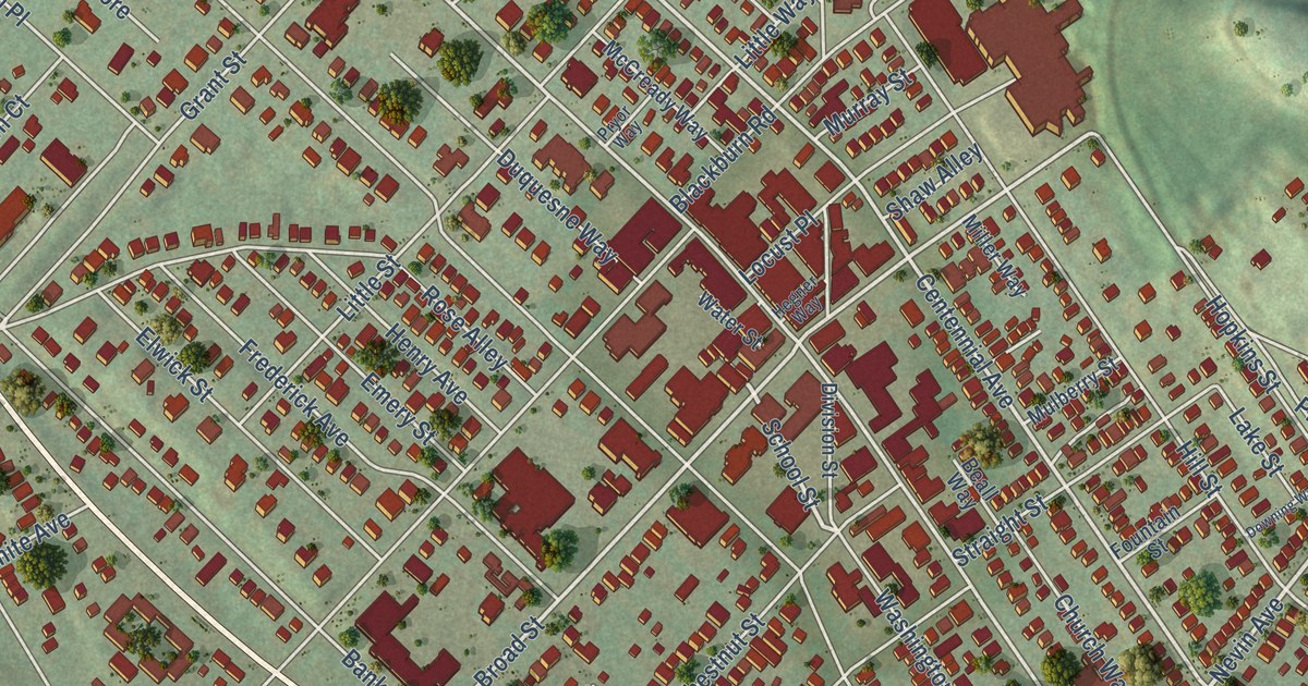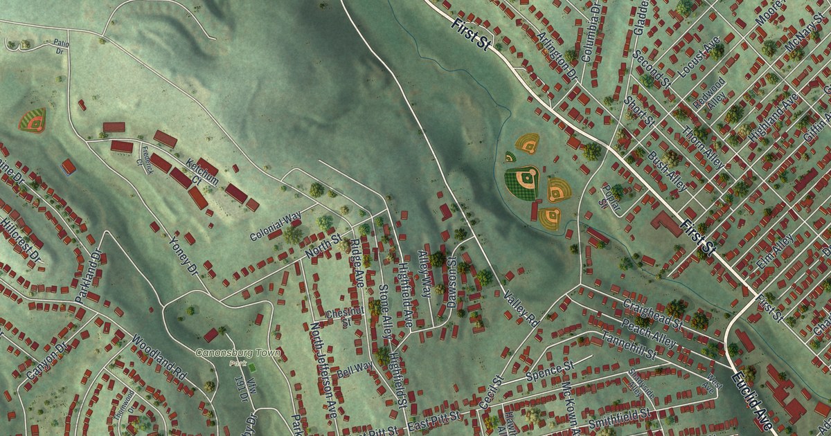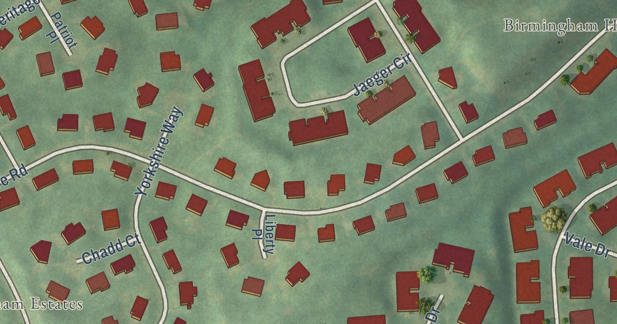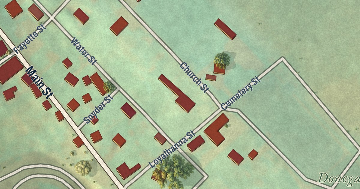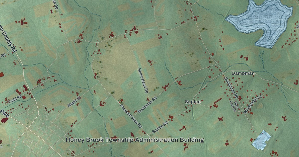
This beautifully detailed map of Honey Brook Township, Pennsylvania was created in 2026 using aerial imagery combined with modern topographical, census, street and landmark data. It’s a one-of-a-kind view of Honey Brook Township that combines accurate data with a vintage aesthetic. The map shows every building in its true location, many of the roads carry their names, and the shaded topographic relief shows the shape of the land.
Explore an aerial view of Honey Brook Township, Pennsylvania
On the map you’ll find Honey Brook Township Administration Building, Birdell, Cambridge, Church Hill, Cupola, Dampman, Fontaine, Rocklyn, Rockville, and Suplee, along with Horse Shoe Pike, Compass Road, and more. If you look closely you can even find your house accurately drawn in its correct location. Zoom in on the preview to look for yours.
Did you know this piece of Honey Brook Township, Pennsylvania history?
From the History of Chester County 1881: "Honeybrook was formed in 1789 from the western part of West Nantmeal Township, the name Nantmeal or Nantmel, meaning 'sweet stream' or 'honey brook'."
Take a closer look at the Honey Brook Township map
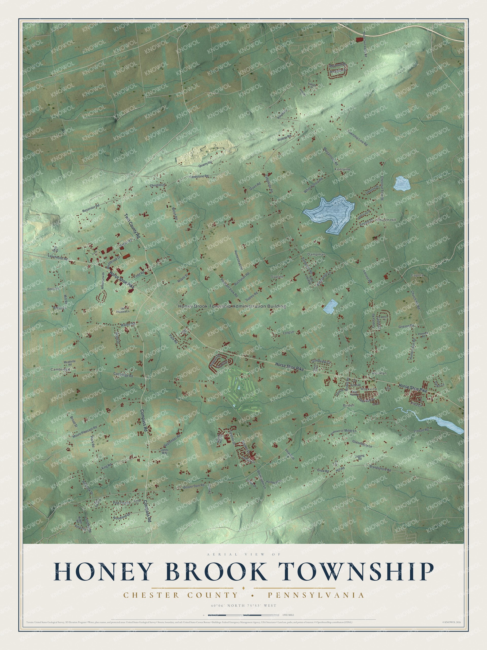
Street and place names on the Honey Brook Township, Pennsylvania map
These names are printed on the map of Honey Brook Township, Pennsylvania.
Places: Honey Brook Township Administration Building, Fontaine, Cambridge, Dampman, Rocklyn, Cupola, Birdell, Church Hill, Suplee and Rockville.
Streets and roads: Twin County Road, Horse Shoe Pike, Compass Road, Beaver Dam Road, Pleasant View Road, Erica Circle, Woodland Drive, Deer Run Drive, White School Road, Suplee Road, Chestnut Tree Road, Cambridge Road.
More street names, A to Z
3 Jos Lane, Augusta Drive, Birdell Road, Blue Spruce Drive, Brandamore Road, Broad Street, Buchanan Road, Byerly Road, Caitlin Court, Christie Lane, Church Hill Road, Cog Hill Drive, Conifer Circle, Crystal Lane, Cupola Road, Dampman Road, Davis Lane, Dawn Lane, Deer Run Road, Diane Drive, Dove Drive, Egan Circle, Elk Circle, Emery Lane, Fieldstone Road, Forrest Road, Foxview Road, Garden Drive, Given Road, Glen Loch Drive, Gooseberry Lane, Grandview Circle, Grieson Road, Grow Road, Hardwood Lane, Hillbrook Drive, Hill Road, Hillview Drive, Homestead Road, Hunters Run Road, Icedale Road, Johns Way, Joyce Lane, Katydid Lane, King Road, Lakeview Drive, Lammey Road, Lanchester Road, Lasso Drive, Lauver Circle, Logging Road, Long Lane, Maple Street, Matthew Drive, Meadville Road, Merwood Road, Miller Lane, Mill Road, Morgantown Road, Mount Pleasant Road, Old Pequea Lane, Park Road, Pine Tree Drive, Poplar Road, Quarry Road, Reservoir Road, Ridge Road, Risbon Road, Rocklyn Station, Rock Road, Rolling Hills Ci, September Road, Shore Line Drive, South Twin Valley Road, Steamfield Lane, Talbotville Road, Tel Hai Circle, Todd Road, Township Line Road, Treeline Drive, Tulip Drive, Vincent Drive, Violet Drive, Wagon Way, Walnut Road, Welsh Road, Westbrook Drive, Whitehorse Drive, Whiteman Lane, Whitewater Lane, Wildflower Lane, Windswept Lane, Woodglen Road, Zook Drive.
See the Honey Brook Township, Pennsylvania map on a wall
The Honey Brook Township, Chester County map as an 18 x 24 inch print in a black frame.

This beautifully detailed map of Honey Brook, Chester County makes an attractive addition to your office, library, or den, and it can even be used to teach children the geography and history of the area. It also makes a great gift for anyone with Honey Brook Township roots. When you’re done exploring, click here to get your copy of the Honey Brook, Chester County map.