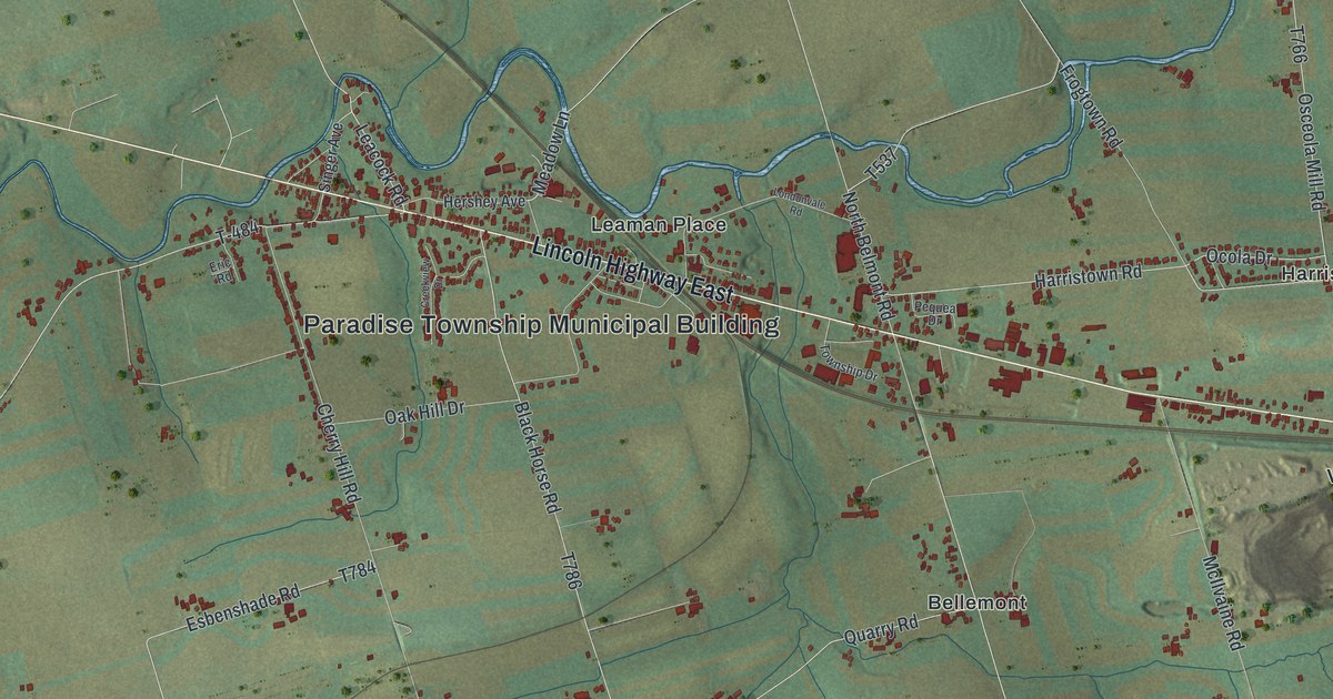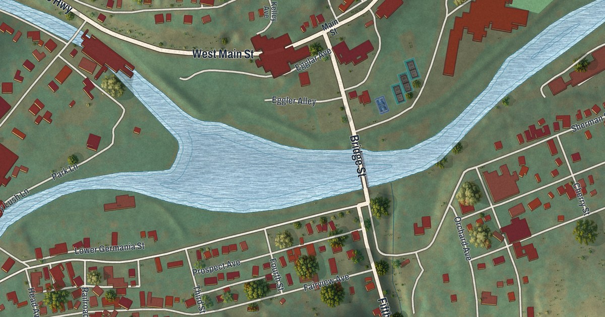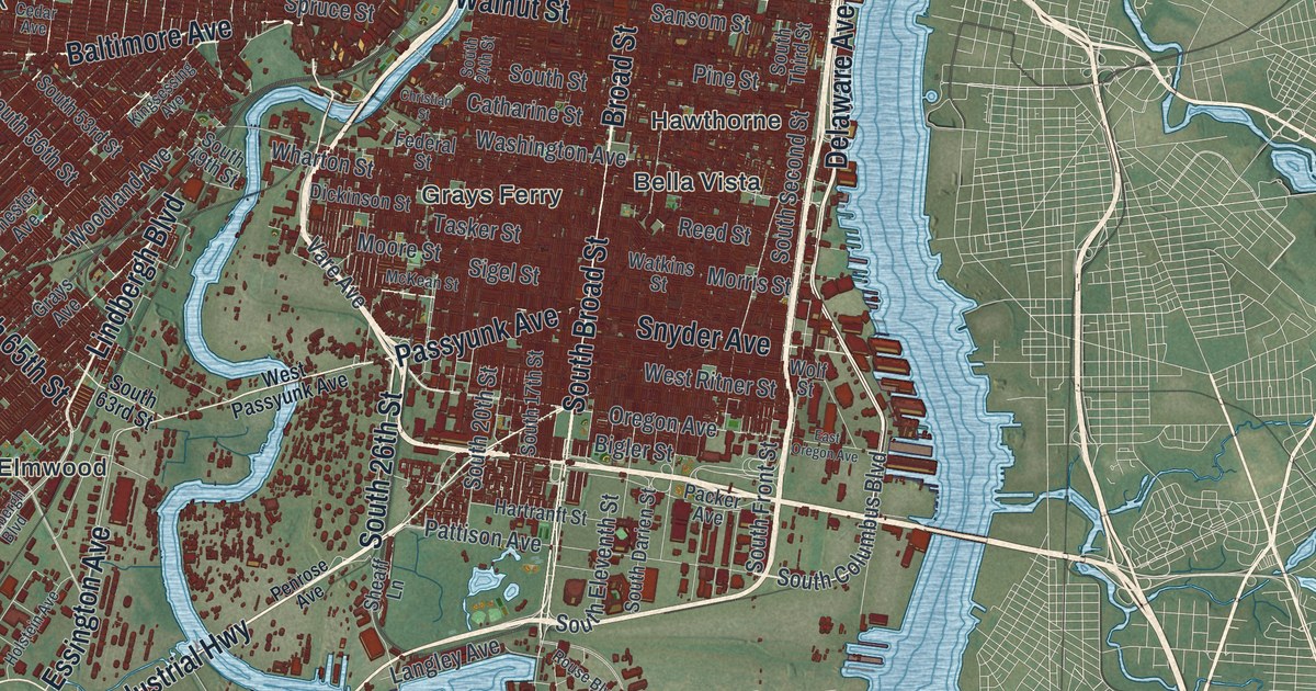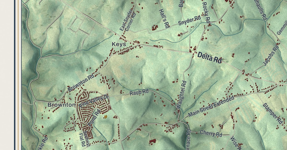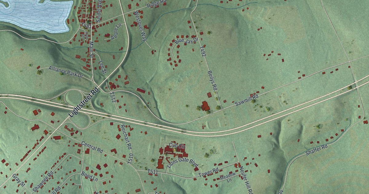
If you grew up in Espy, Light Street or Almedia, or you still drive Columbia Boulevard every day, this map is for you. It's a modern aerial view of Scott Township in Columbia County, Pennsylvania, made from modern data and given a vintage feel. Red buildings fill the flat land beside a wide blue river. Green hills rise to the north, where a creek winds past two ponds near Paper Mill and Light Street.
Espy, Light Street and Almedia on the map
On this map you'll find Columbia Boulevard, Lightstreet Road, Main Street, Paper Mill Road, Central Road, Old Berwick Road, Fowlersville Road, Espy, Light Street, Almedia, Paper Mill, Sky View Acres, New Rosemont Cemetery, and more. Each red shape is a building, so zoom in on the preview and look for yours.
Fort Wheeler, the Mud Fort on Fishing Creek
In the spring of 1778, Lieutenant Moses Van Campen was given twenty men and told to build a fort on Fishing Creek. He picked a rise on the south side of the creek, near where the paper mills later stood. It sat on Mr. Wheeler's farm, so people called it Fort Wheeler. Its walls were just a frame of logs covered with earth. That's why folks also called it the Mud Fort. It went up just in time. Before it was even finished, settlers had to crowd inside for safety.
That September, raiders burned the home of Peter Melick below Espy. He had spent the winter of 1776 and 1777 at Valley Forge. His family got away to the fort with what they could carry. The History of Columbia and Montour Counties, printed in 1887, keeps one small detail. The raiders tied a feather bed onto a pony. The pony got scared, broke loose and ran all the way to the fort. During the siege that night, the fort ran out of ammunition. Two soldiers, Henry McHenry and a man whose name is lost, went to Fort Jenkins for more. They made the trip safely, and the fort was saved.
Where Fort Wheeler stood, and how Scott got its name
Today a state marker for Fort Wheeler stands where Lightstreet Road meets Paper Mill Road and Central Road. The township came much later. In 1853 the east part of Bloom Township was split off. It was named for George Scott, who was then starting his second term in the legislature.
Scott Township, from Light Street to Espy
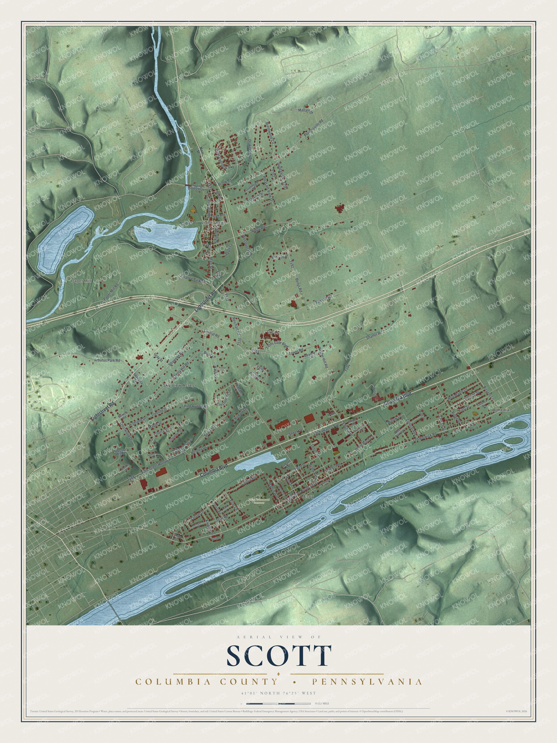
Created by KNOWOL in 2026, this print shows Scott Township in soft greens and blues, with shaded hills, a wide river and buildings in deep red. The title panel reads "Aerial View of Scott" with "Columbia County • Pennsylvania" and 41°01' North 76°25' West beneath it.
It fits a living room, a hallway or a home office. It also makes a good gift for someone who grew up in Light Street, Espy or Almedia and now lives far away. Open the preview and find the street you know best. See sizes and frames for the Scott, Columbia County map.