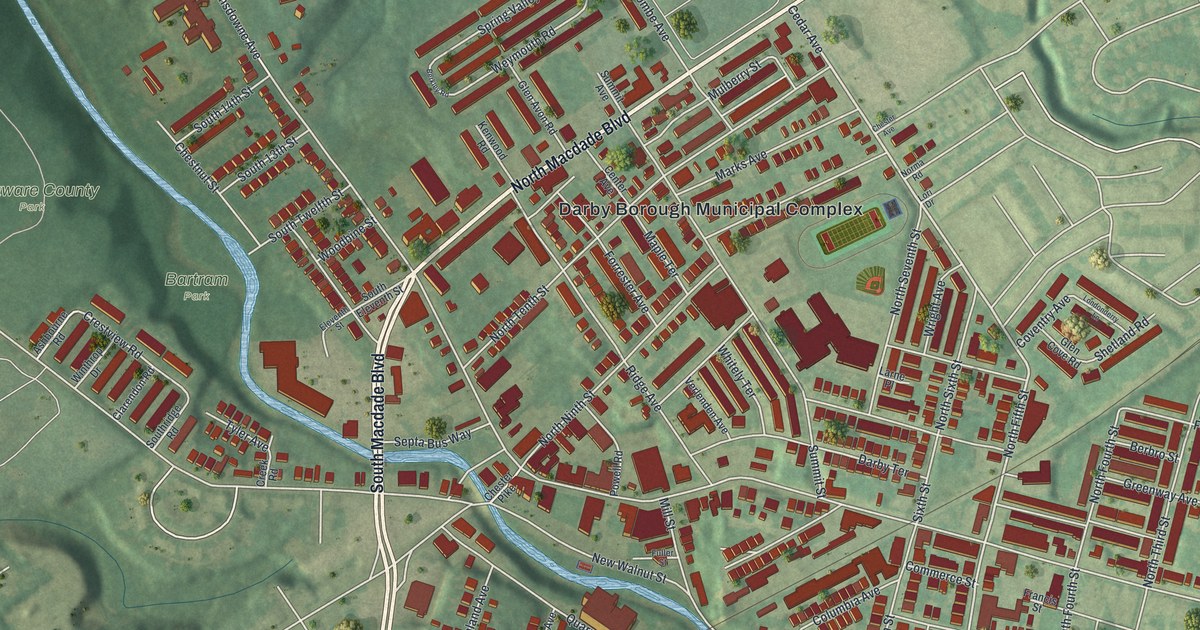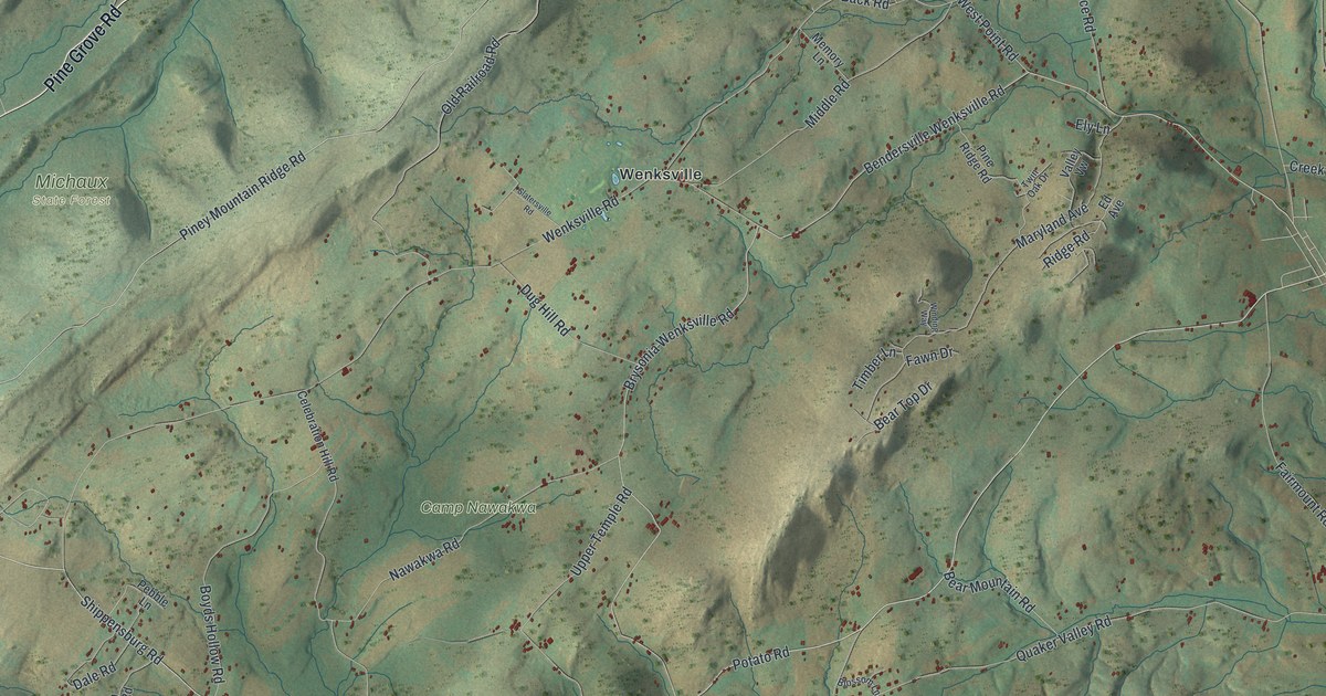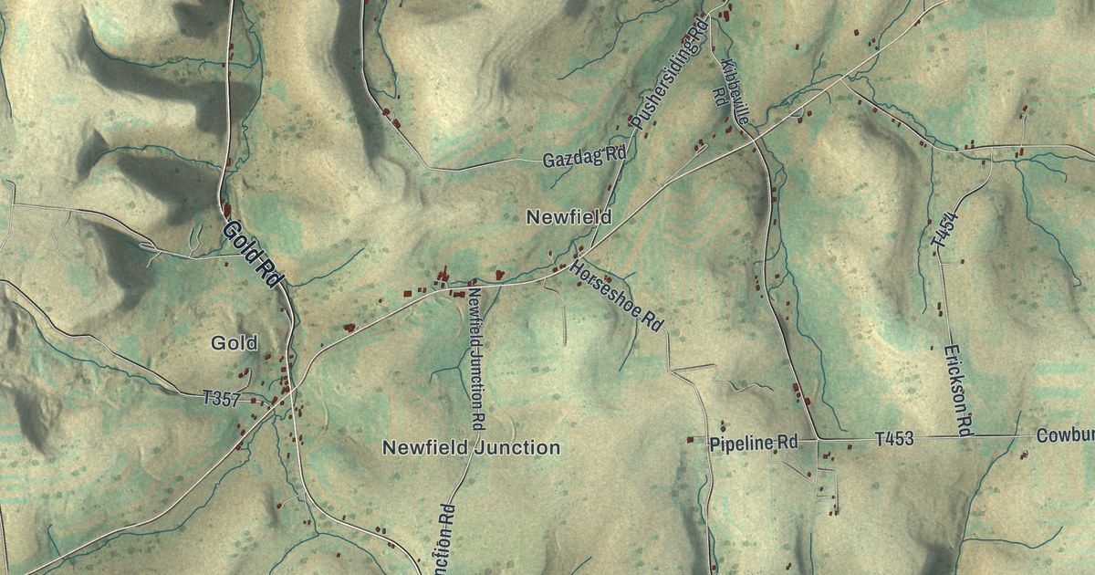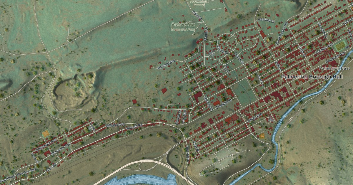
If you grew up on Delaware Avenue or still have family near Palmerton Borough Hall, this map is made for you. It's a modern aerial view of Palmerton in Carbon County, Pennsylvania, built from modern data and given a vintage look. The town fills the valley floor in rows of small red buildings. Green ridges rise on both sides. A thin blue creek curls past Palmerton East, and a wide blue river bends along the bottom of the sheet.
Delaware Avenue, Lafayette Avenue and the streets of Palmerton
On this map you'll find Delaware Avenue, Lafayette Avenue, Princeton Avenue, Columbia Avenue, Lehigh Avenue, Franklin Avenue, Third Street, Fourth Street, Fifth Street, Mauch Chunk Road, Hazard Road, Red Hill Drive, Palmerton Memorial Park, Towamensing Cemetery, Palmerton Borough Hall, and more. Each red shape is a building, so zoom in on the preview and look for yours.
How the New Jersey Zinc Company started Palmerton
Palmerton is a young town. The 1913 History of Carbon County calls it the youngest borough in the county. Until the fall of 1912, this ground was part of Lower Towamensing township. That year the town was incorporated. The book says Palmerton owes its start to the New Jersey Zinc Company, whose works stood close by. The town took its name from Stephen S. Palmer, the company's president. The same book calls Palmerton one of the model communities of the state. On the map, the streets around Palmerton Borough Hall line up in a tidy grid, with First Street through Eighth Street crossing the long avenues.
The Aquashicola creek and Franklin's winter camp
The book also says the town sits near the west bank of the Lehigh, in the shadow of the Blue Ridge. The south side of town borders the Aquashicola creek. The Delaware Indians gave the creek its name. In their language, it meant the place of fishing with bush-nets. That's the thin blue stream that winds past Palmerton East toward Aquashicola. Long before the town, a German settler named Nicholas Opplinger farmed here. In January 1756, Benjamin Franklin and his small army stayed on that farm. They were on their way to build Fort Allen at what's now Weissport.
A Palmerton map for home or for someone far away
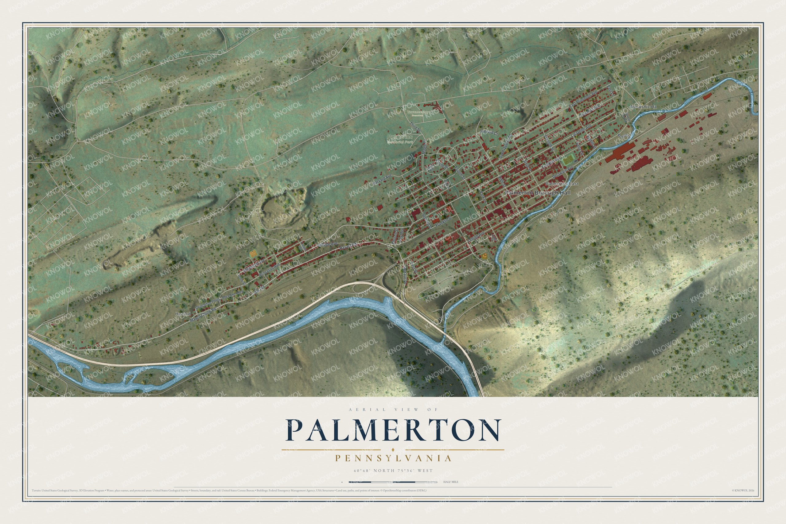
Created by KNOWOL in 2026, this print shows Palmerton from above, with shaded green ridges, a blue creek and river, and each building shown as a small red shape. A cream title panel runs along the bottom. It reads "Aerial View of Palmerton, Pennsylvania" with the coordinates 40°48' North 75°36' West.
It fits a living room, a front hall or a home office. It makes a good gift for someone who grew up near Palmerton Memorial Park, or for a family member who moved away and still misses Delaware Avenue. Open the preview and find the street you know best. See sizes and frames for the Palmerton map.