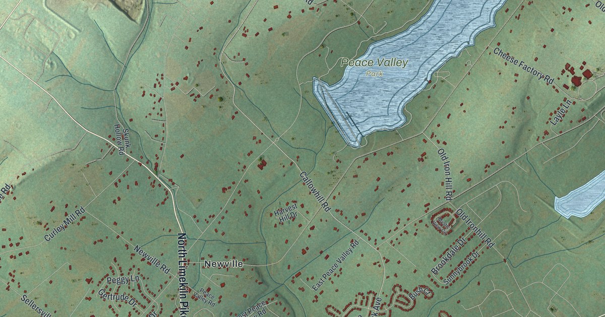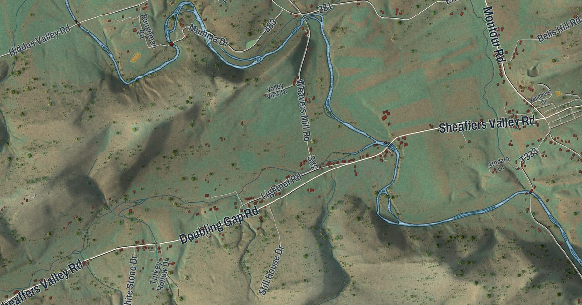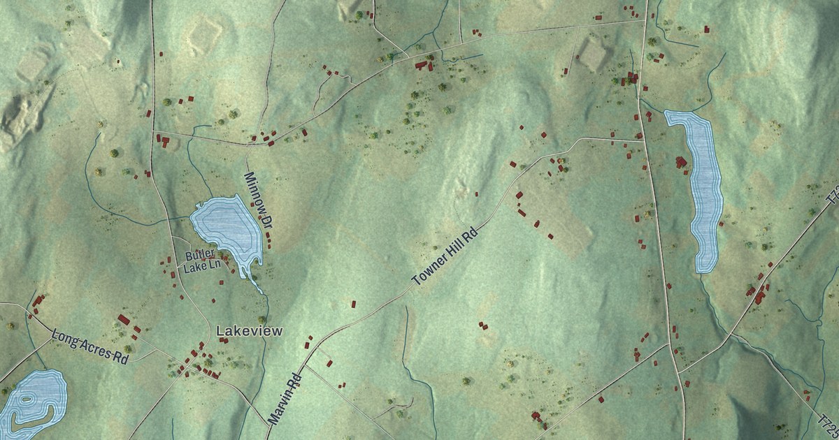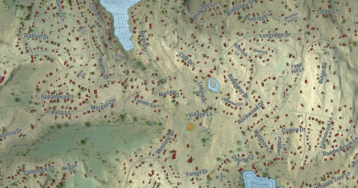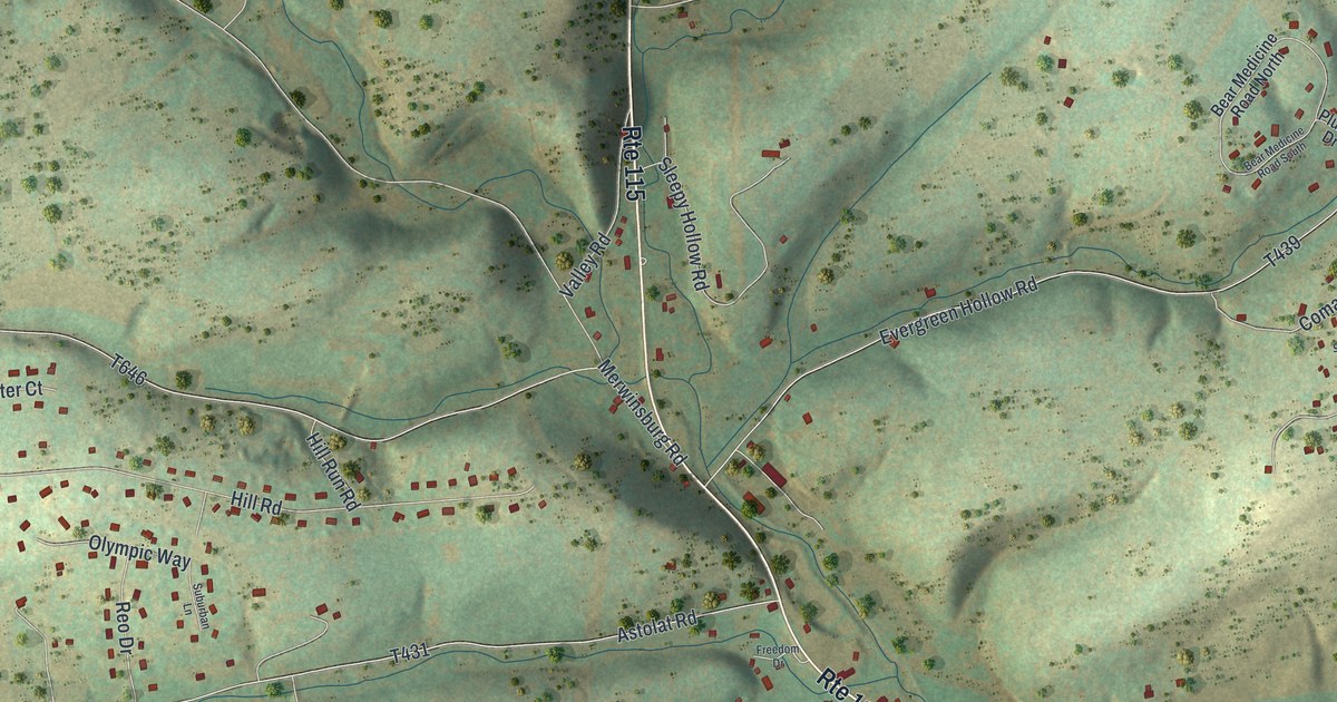
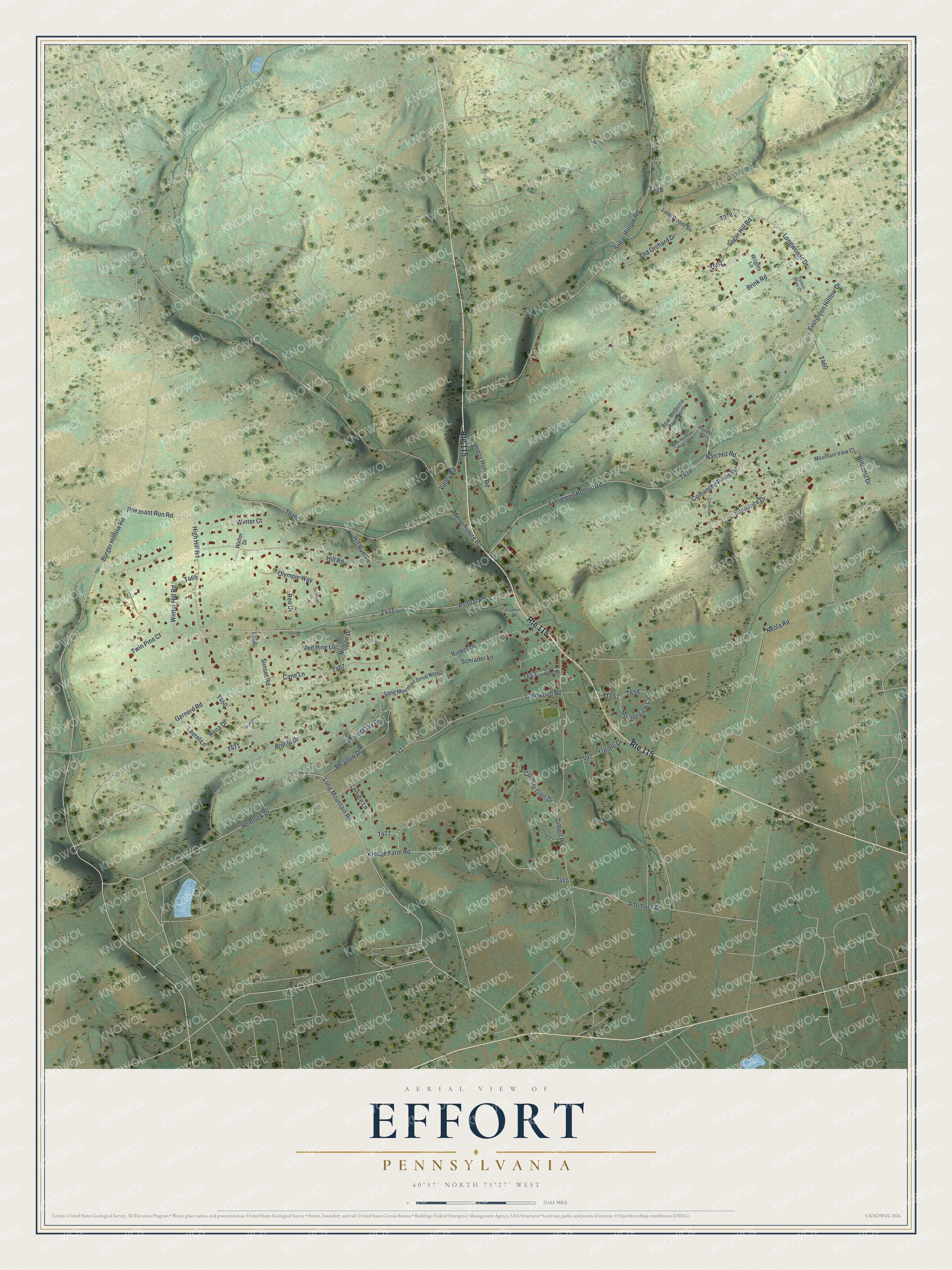
This beautifully detailed map of Effort, Pennsylvania was created in 2026 using aerial imagery combined with modern topographical, census, street and landmark data. It's a modern aerial view of Effort in Monroe County, Pennsylvania, that combines modern data with a vintage aesthetic. The roads feature printed names, and if you look closely you can find your exact house accurately shown in its correct location.
Explore an aerial view of Effort, Pennsylvania
On this map you'll find Evergreen Hollow Road, T439, T378, Evergreen Hollow Drive, Longwoods Drive, Long Mountain Road, High Hill Road, T450, Schrader Lane, T417, Pheasant Run Road, T646, and more. Each red shape is a building, so zoom in on the preview and look for yours.
Here is a piece of Effort history. The Kresge family settled at Effort about 1745. By the 1880s Effort had grown into a busy village with two schools, two stores, a hotel, a gristmill, a foundry, a spoke factory and a post office. In those years a milestone from the old Wilkes-Barre and Easton turnpike, built about 1808, still stood a short distance north of the village. That's from the History of Wayne Pike and Monroe Counties.
Effort is a community in Monroe County. The Census Bureau counted 1,965 people here in 2020.
Take a closer look at the Effort map
Names on this map
These names are printed on this map.
Streets and roads: Route 115, Evergreen Hollow Road, Evergreen Hollow Drive, Longwoods Drive, Long Mountain Road, High Hill Road, Schrader Lane, Pheasant Run Road, Astolat Road, Hillcrest Drive, Sugar Hollow Road, Neola Road.
More street names, A to Z
Altemose Drive, Arnold Drive, Bear Medicine Road North, Bear Medicine Road South, Brink Road, Burger Hollow Road, Cane Lane, Chickasaw Drive, Comanche Pines Road, Corine Court, Country Glen Drive, Effort Village Drive, Forest Drive Court, Freedom Drive, George Drive, Gernerd Road, Gilbert Road, Glenwood Road, Hemlock Drive, Hill Road, Hill Run Road, Kep Lane, Kresge Farm Road, Laurel Lane, Leisure Lane, Long Mountain Drive North, Long Woods Drive, Meadow Drive, Merwinsburg Road, Mountain View Court, Mount Clay Drive, Mount View Circle, Natchez Road, Nelson Drive, Old Orchard Drive, Olympic Way, Plume Drive, Red Pine Lane, Rena Drive, Reo Drive, Rinker Drive, Sleepy Hollow Road, Suburban Lane, Sugar Hill Road, Sundance Drive, Sunset Road, Treible Drive, Twin Pine Court, Valley Road, Walter Drive, Winter Court, Winter Hill Road, Wrights Lane.
See it on a wall
The Effort map as a framed print. Swipe for more.


Created by KNOWOL in 2026. The buildings are small red shapes, the roads carry their printed names, and shaded relief shows the shape of the land. The title panel reads "AERIAL VIEW OF EFFORT, PENNSYLVANIA" with 40°57' NORTH 75°27' WEST.
It suits a den, a classroom or a front hall, and it makes a gift for anyone with Effort roots. Open the preview and find the block you know. See sizes and frames for the Effort map.