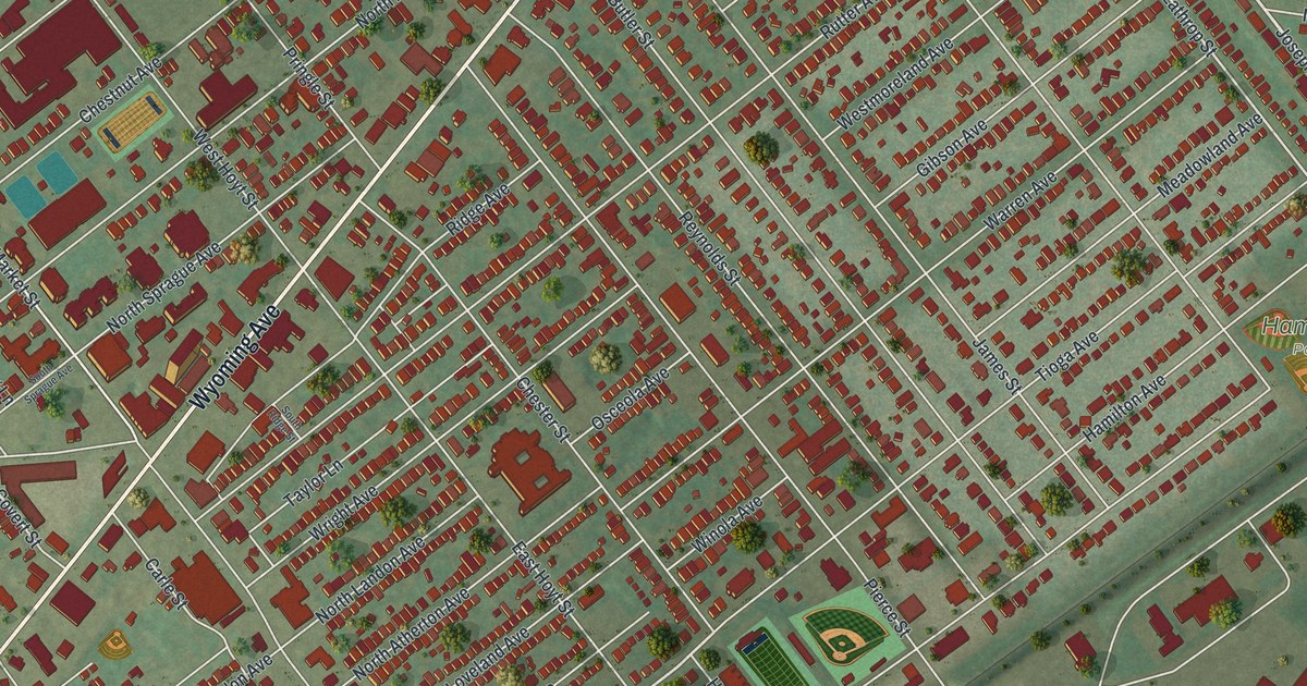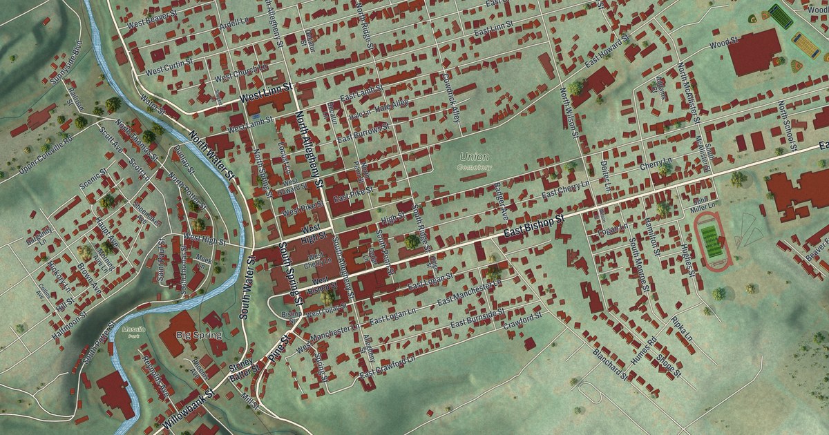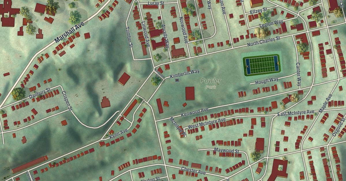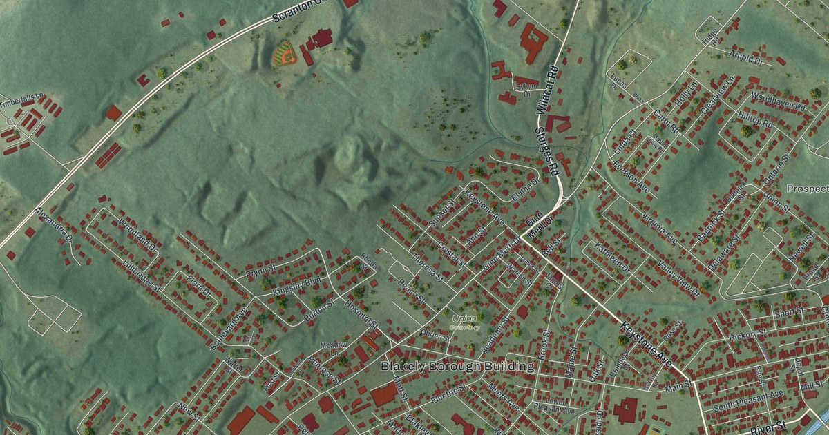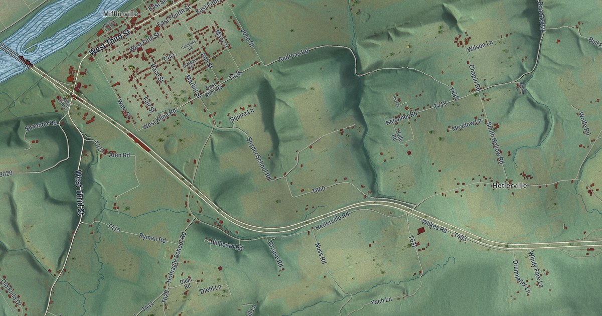
If you grew up in Mifflinville or out near Hetlerville, this map shows the home you know. It's a modern aerial view of Mifflin Township in Columbia County, Pennsylvania, made from modern data and given a vintage look. A wide blue river runs across the top of the sheet. The streets of Mifflinville sit on the flat land beside it. Green ridges and hollows fill the south, down to State Game Lands Number 58.
The 1794 town on the Mifflin flats
On this map you'll find Market Street, West Third Street, East Third Street, East First Street, East Fifth Street, West Street, Mifflin Nescopeck Highway, Main Mifflin Road, Hetlerville Road, Beagle Club Road, Pee Wee Hill Road, Snyder School Road, Cemetery Road, Mifflinville, Hetlerville, State Game Lands Number 58, and more. Each red shape is a building, so zoom in on the preview and look for yours.
The flat land between the hills and the Susquehanna is known as the Mifflin flats. In August 1794, John Kunchel and William Rittenhouse laid out a town there. They named it for Pennsylvania's first governor. The History of Columbia and Montour Counties calls it Mifflinsburg. The founders hoped it would be a county seat one day. It grew slowly, like other towns nearby at the time. The township itself was formed in 1799, while Thomas Mifflin was still governor.
The 1794 plan was a simple grid. Front, or First, Street ran along the river for a mile. Market Street crossed it at a right angle and ran through the middle of town. Behind Front came Second, Third, Fourth and Fifth streets. West Street marked the far side. Market and Third were each 132 feet wide. Where they met, an acre was saved for public buildings. Near Mifflinville on the map, you can still find Market Street, East First Street, East Second Street, West Third Street, East Fourth Street, East Fifth Street and West Street.
Aten Road, Kirkendal Road and the first families
The first families to stay came after the war. Their names included Creasy, Angle, Gruver, Aten, Kirkendall, Brown, Koder, Bowman and Kern. All of them came from Warren County, New Jersey. Thomas Aten settled near the foot of Nescopeck Mountain. The Kirkendalls lived on a ridge above a branch of Ten-Mile Creek. At first the pioneers skipped the river bottoms. They thought that land was poor pine barrens. The book says the river bottoms are now the most fertile land in the township. Two of those family names show up on the map today, on Aten Road and Kirkendal Road.
Mifflinville, Hetlerville and State Game Lands Number 58 on the print
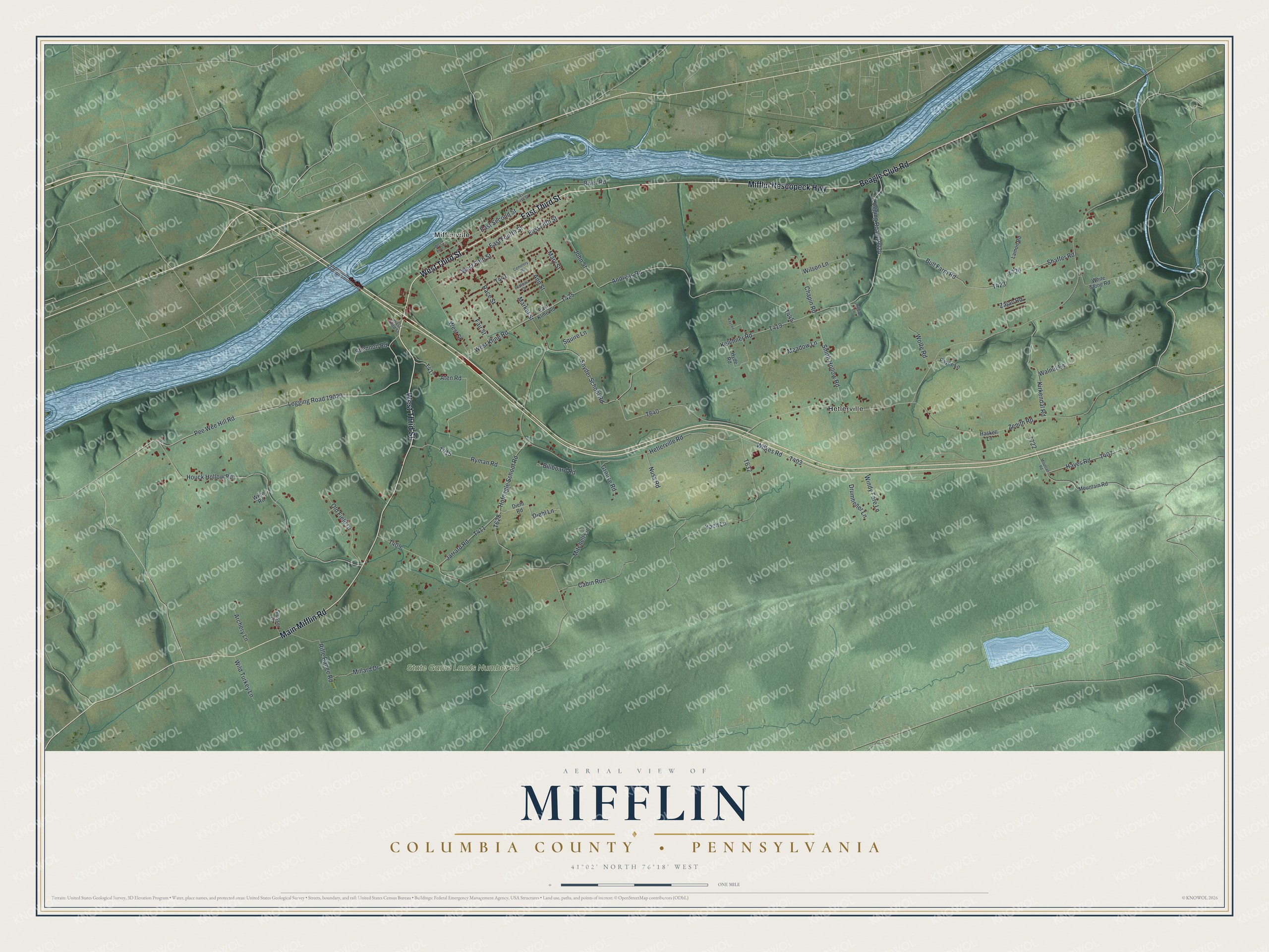
Created by KNOWOL in 2026, this print shows Mifflin Township in soft green shaded relief, with the river in blue and buildings in red. The cream title panel reads AERIAL VIEW OF MIFFLIN, COLUMBIA COUNTY • PENNSYLVANIA, with the coordinates 41°02' NORTH 76°18' WEST.
It fits a living room, a den or a farmhouse kitchen. It's a good gift for someone who grew up near Market Street in Mifflinville, or for family who moved away from the Mifflin flats. Open the preview and find the roads you know. See sizes and frames for the Mifflin, Columbia County map.