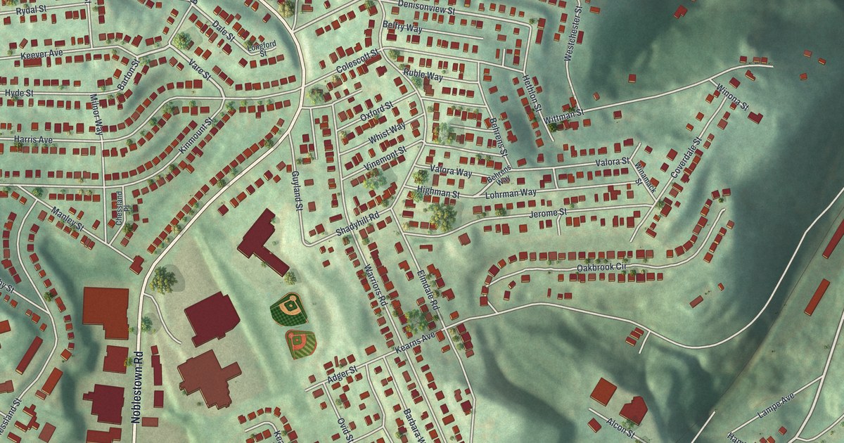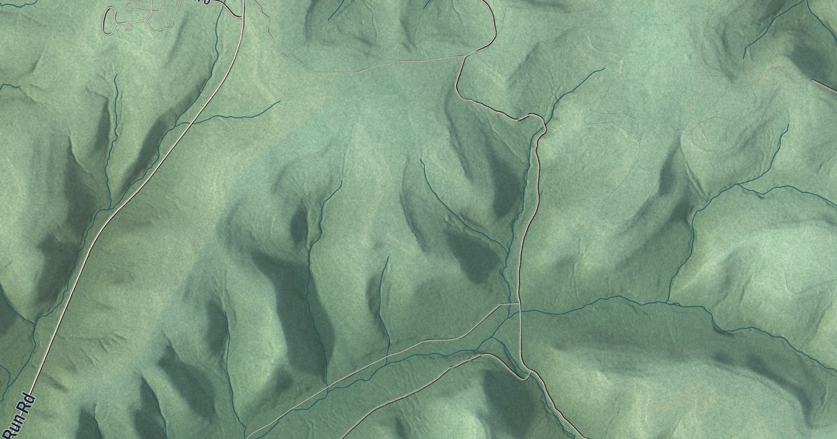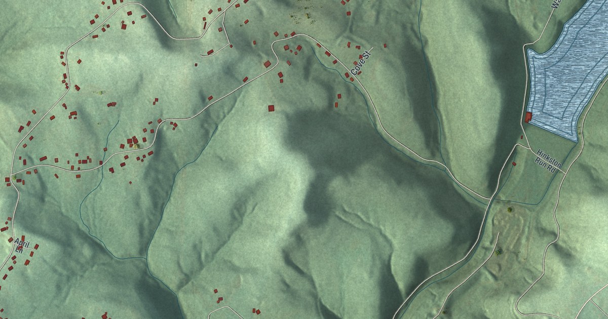
If you grew up around Pleasant Hill, or you still have family out on Benshoff Hill Road, this map is for you. It's a modern aerial-style view of Middle Taylor Township in Cambria County, Pennsylvania, made in 2026 and finished with a vintage feel. Green ridges fold into deep, wooded hollows. Small roads climb the high ground, and red homes line them.
Pleasant Hill and the hollows of Middle Taylor
On this map you'll find Pleasant Hill, Gallitzin State Forest, Benshoff Hill Road, Linkville Road, Naylor Road, Panarama Drive, Colleen Street, Castle Street, Taft Street, Stuart Street, Earl Street, Hinkston Run Road, Prosser Hollow Road, Teeter Road, and more. Each red shape is a building, so zoom in on the preview and look for yours.
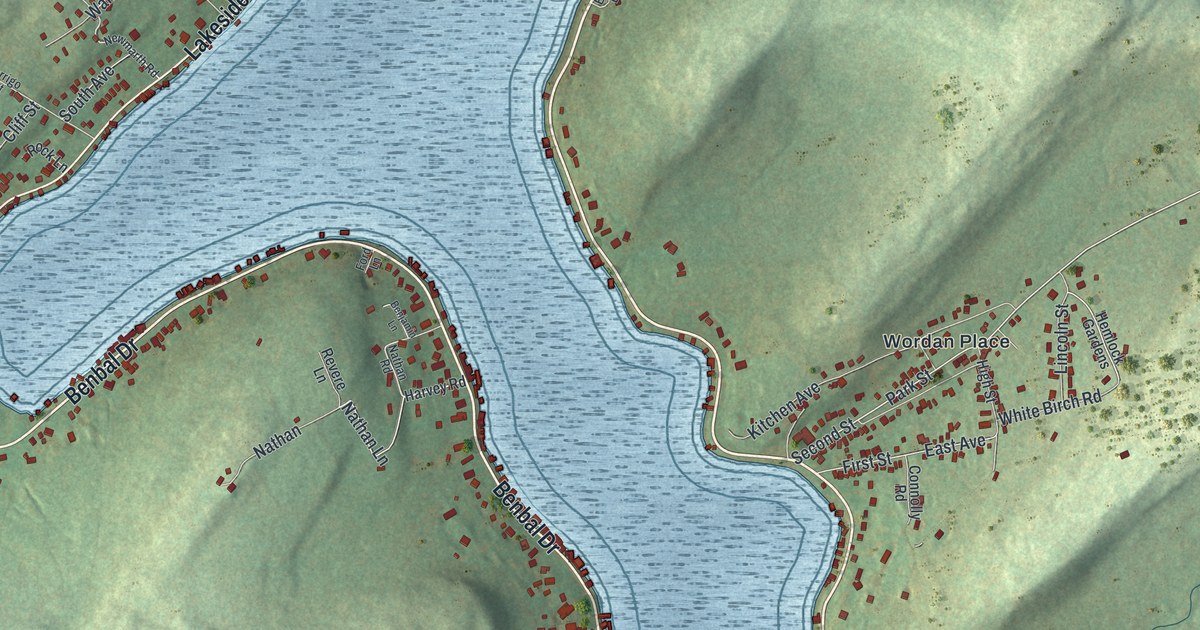
Middle Taylor is a township of hills. The Census Bureau counted 660 people here in 2020. Many of their homes sit along the roads near Pleasant Hill, on the left side of the map. Between the ridges, steep valleys drop away in deep shade. A long blue lake lies in the hills near the upper right, close to Hinkston Run Road. Down in the lower corners, a river bends along the valley floor.
The Johnstown flood channel next door
In nearby Johnstown, a state historical marker tells how the rivers there were tamed. It's a Cambria County story, and it happened right next door. The U.S. Army Corps of Engineers built the Johnstown Local Flood Protection Project from 1938 to 1943. It's a concrete-paved channel that runs 9.2 miles along Johnstown's three rivers. The marker calls it the nation's second largest flood control project of its type. In its first 50 years, the only flooding came in 1977, during the modern flood of record. Middle Taylor sits in the hills above it all, and the map shows those ridges and hollows.
Keep Pleasant Hill close
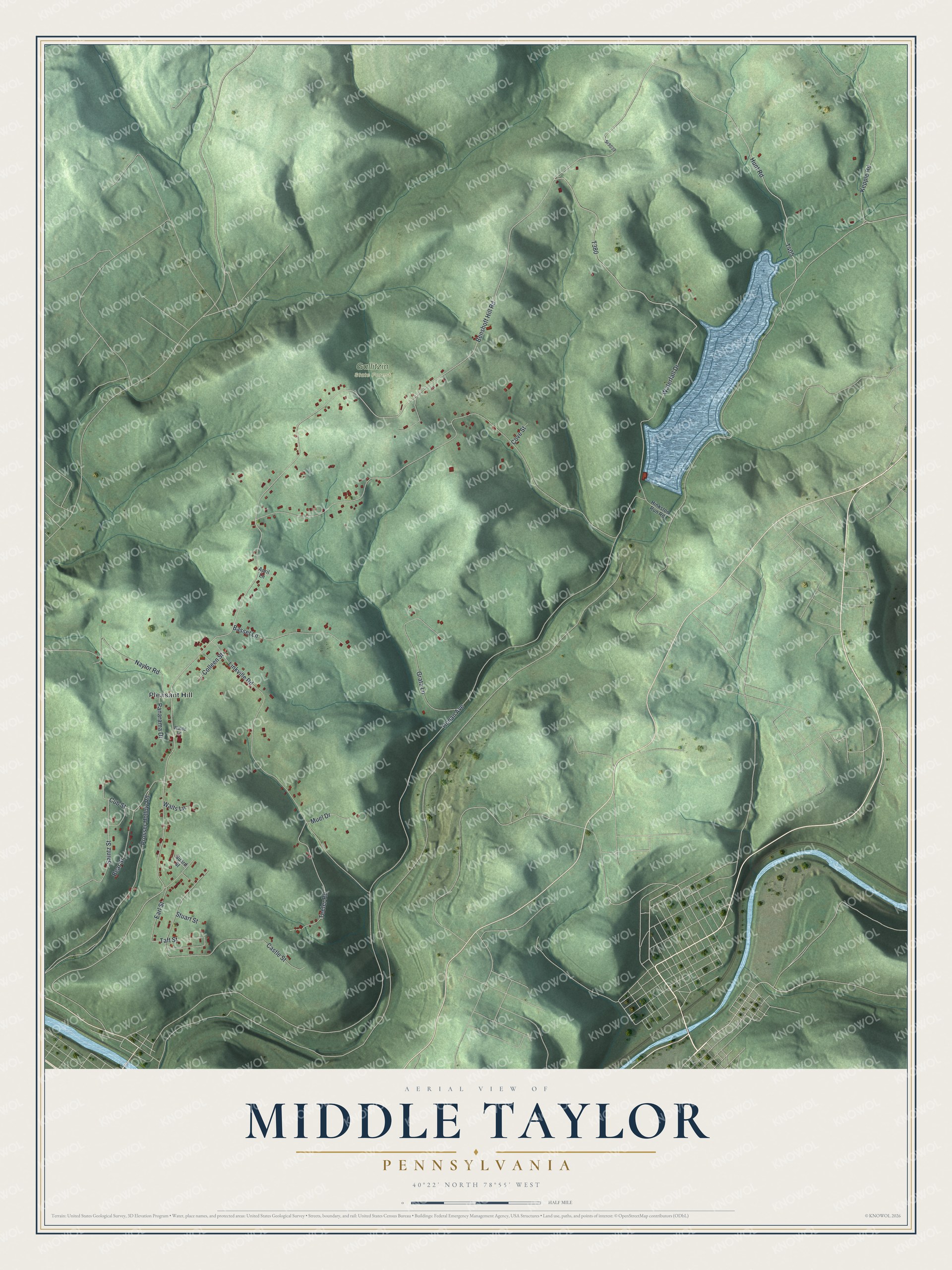
Created by KNOWOL in 2026, this print shows Middle Taylor's hills in soft greens with shaded relief, blue water and small red buildings. The title panel reads "Aerial View of Middle Taylor, Pennsylvania" with 40°22' North 78°55' West beneath it.
It fits a living room, a hallway or a home office. It's a kind gift for anyone who grew up near Pleasant Hill and moved away, or for a parent who still lives on the hill. Open the preview and look for your road. See sizes and frames for the Middle Taylor map.