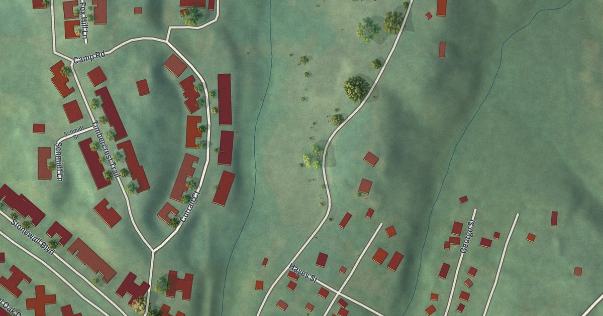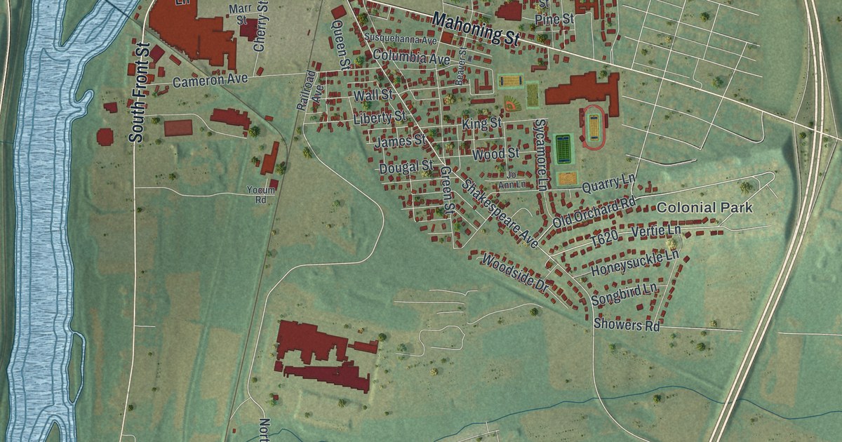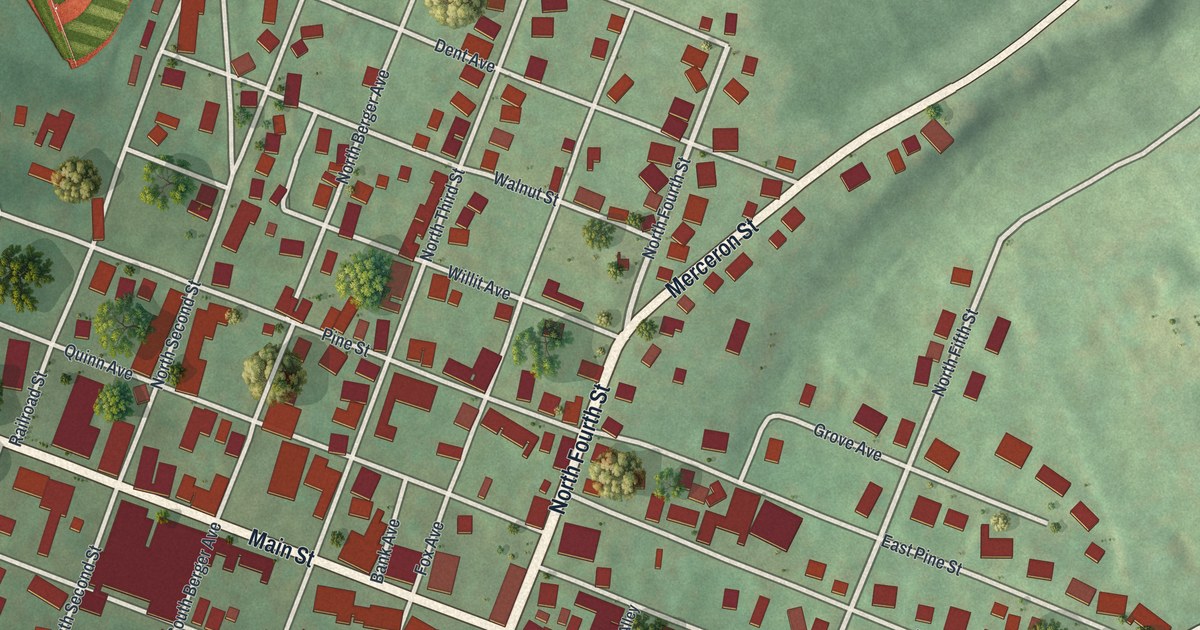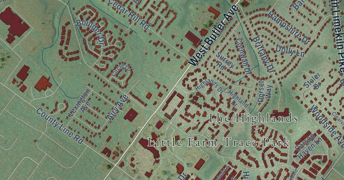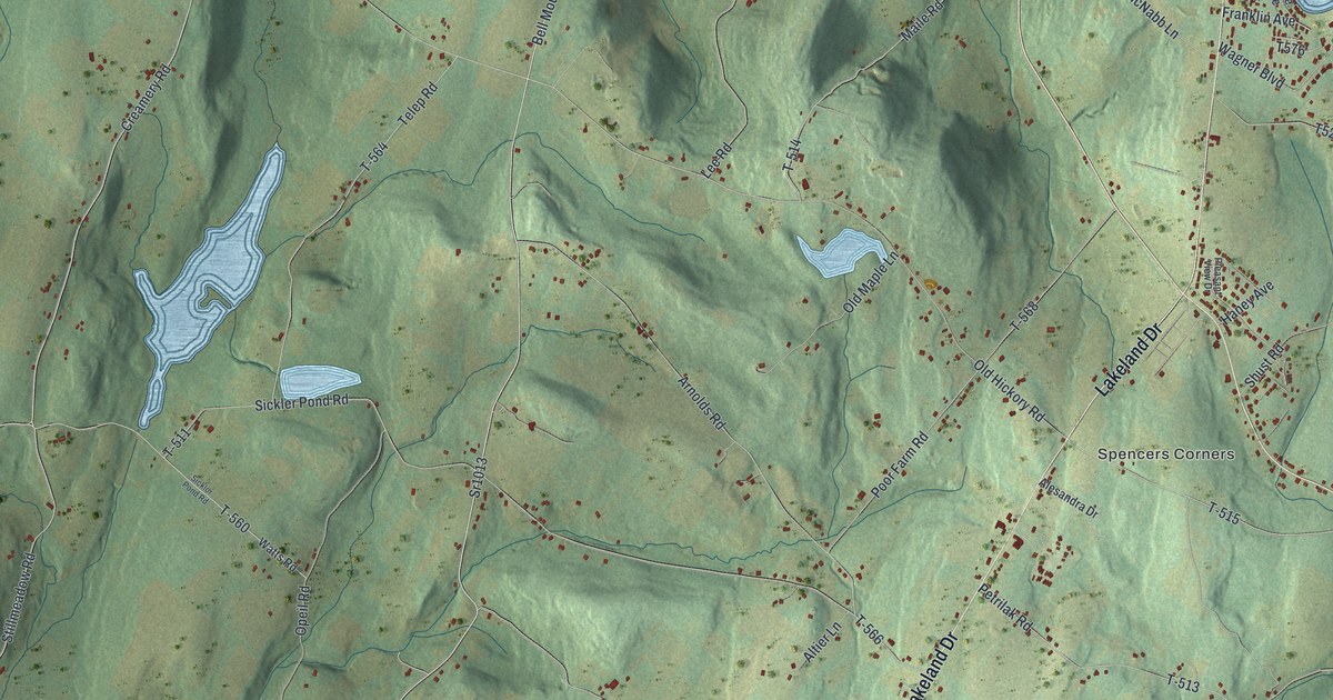
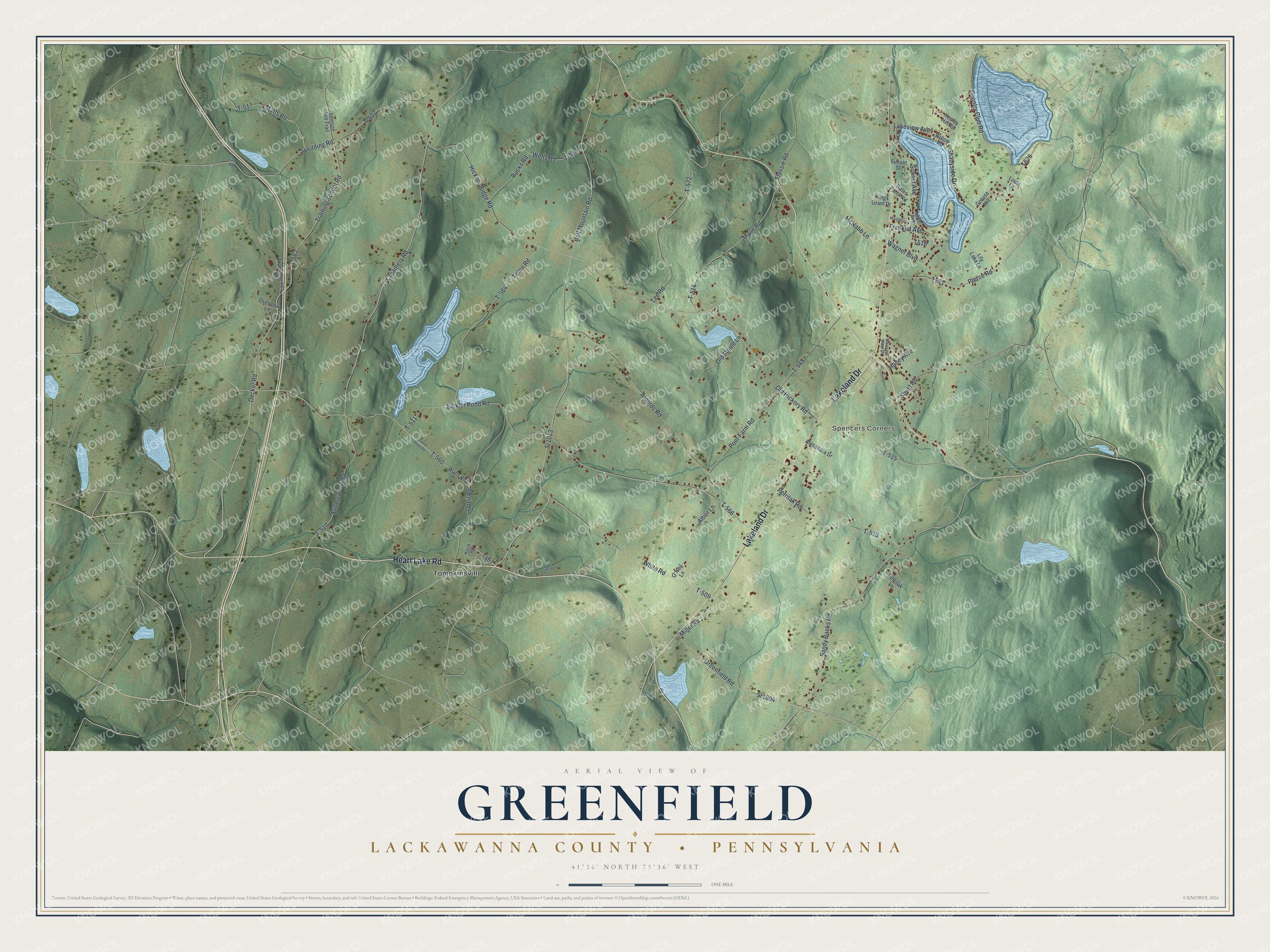
This beautifully detailed map of Greenfield, Lackawanna County, Pennsylvania was created in 2026 using aerial imagery combined with modern topographical, census, street and landmark data. It’s a one-of-a-kind view of Greenfield that combines accurate data with a vintage aesthetic. The map shows every building in its true location, many of the roads carry their names, and the shaded topographic relief shows the shape of the land.
Explore an aerial view of Greenfield, Lackawanna County, Pennsylvania
On the map you’ll find Spencers Corners, Tompkinsville, and T-562, along with Heart Lake Road, Lakeland Drive, Bell Mountain Road, Training School Road, Creamery Road, Old Hickory Road, Decker Road, and more. If you look closely you can even find your house accurately drawn in its correct location. Zoom in on the preview to look for yours.
Did you know this piece of Greenfield, Lackawanna County, Pennsylvania history?
From the Walker Home School Blog: "Greenfield Township rural Lackawanna County, Pennsylvania, was officially founded and incorporated in 1816 by pioneers from New York and Vermont. The Greenfield Township Historical Society was formed in June, 1996 with a focus on preserving historical landmarks and the legacy of Greenfield Township."
Take a closer look at the Greenfield, Lackawanna County map
Street and place names on the Greenfield, Lackawanna County, Pennsylvania map
These names are printed on the map of Greenfield, Lackawanna County, Pennsylvania.
Places: Spencers Corners and Tompkinsville.
Streets and roads: Heart Lake Road, Lakeland Drive, Bell Mountain Road, Sr1013, Training School Road, Creamery Road, T-562, Old Hickory Road, Decker Road, Country Club Road, T-515, Hickory Ridge Road.
More street names, A to Z
Alesandra Drive, Altier Lane, Arnolds Road, Bates Patch Road, Bucks Road, Finn Road, Flossie Road, Franklin Avenue, Greenfield Road, Grouse Hill, Haney Avenue, Healey Hill Road, Johnson Hill Trail, Kings Grant Drive, Knick Road, Lake Avenue, Lakeview Avenue, Lee Road, Lily Lake Lane, Louis Lane, Maile Road, Matts Road, McNabb Lane, Miller Road, Morgan Street, O'Neil Lane, Old Maple Lane, Opeil Road, Overlook Lane, Petrilak Lane, Petrilak Road, Pierce Road, Pleasant View Drive, Poor Farm Road, Prvtdrwy, Sandy Banks Road, Shadyside Drive, Shust Road, Sickler Pond Road, Sicklor Pond Road, Spedding Road, Sr1004, Stillmeadow Road, Sunset Avenue, Sunset Street, T-507, T-509, T-510, T-511, T-513, T-514, T-517, T-519, T-560, T-564, T-566, T-568, T-572, Telep Road, Transamerica Road, Wagner Boulevard, Watts Road, Wells Road, White Road, Willow Road.
See the Greenfield, Lackawanna County, Pennsylvania map on a wall
The Greenfield, Lackawanna County map as an 18 x 24 inch print in a black frame.

This beautifully detailed map of Greenfield, Lackawanna County makes an attractive addition to your office, library, or den, and it can even be used to teach children the geography and history of the area. It also makes a great gift for anyone with Greenfield roots. When you’re done exploring, click here to get your copy of the Greenfield, Lackawanna County map.