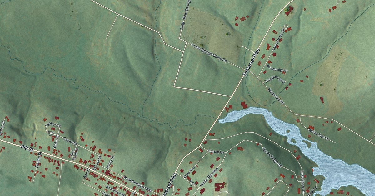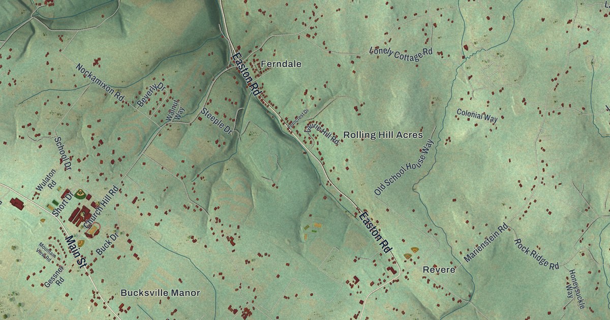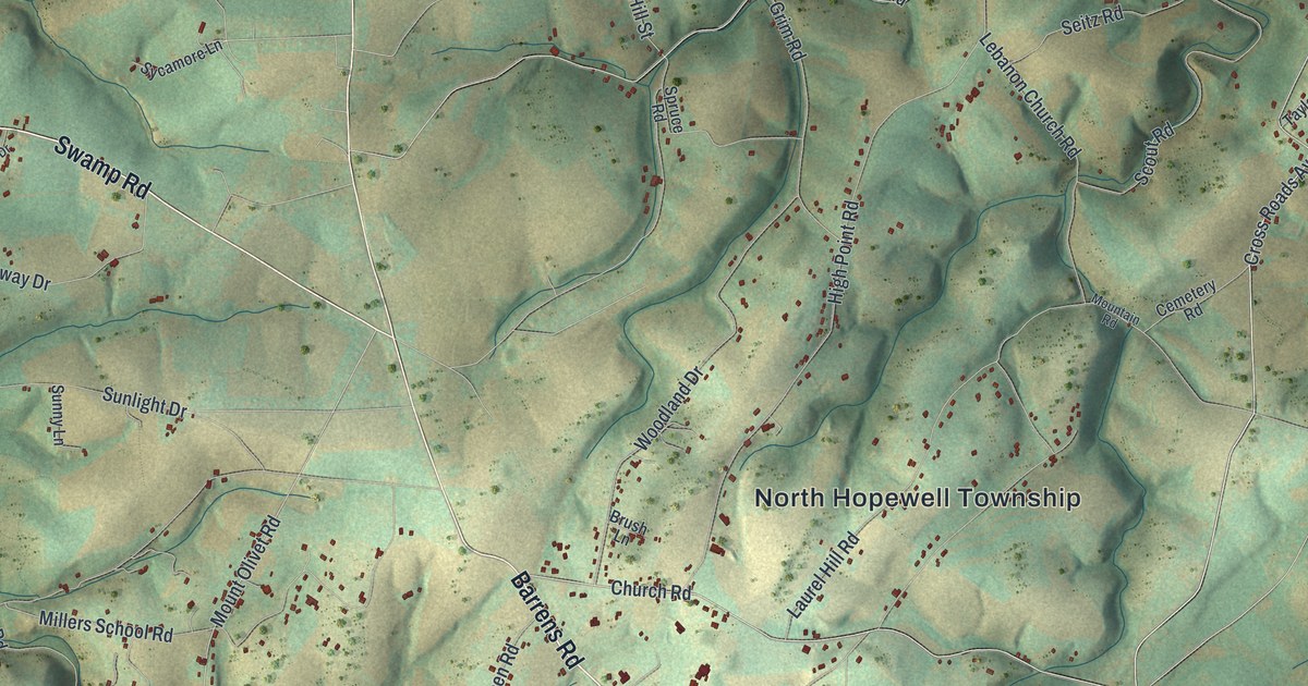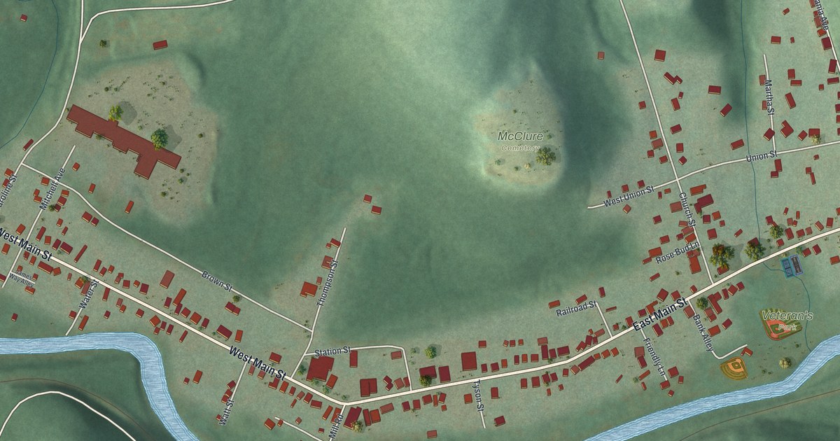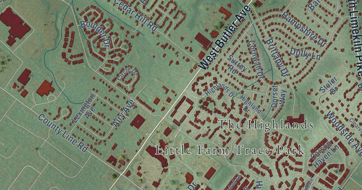
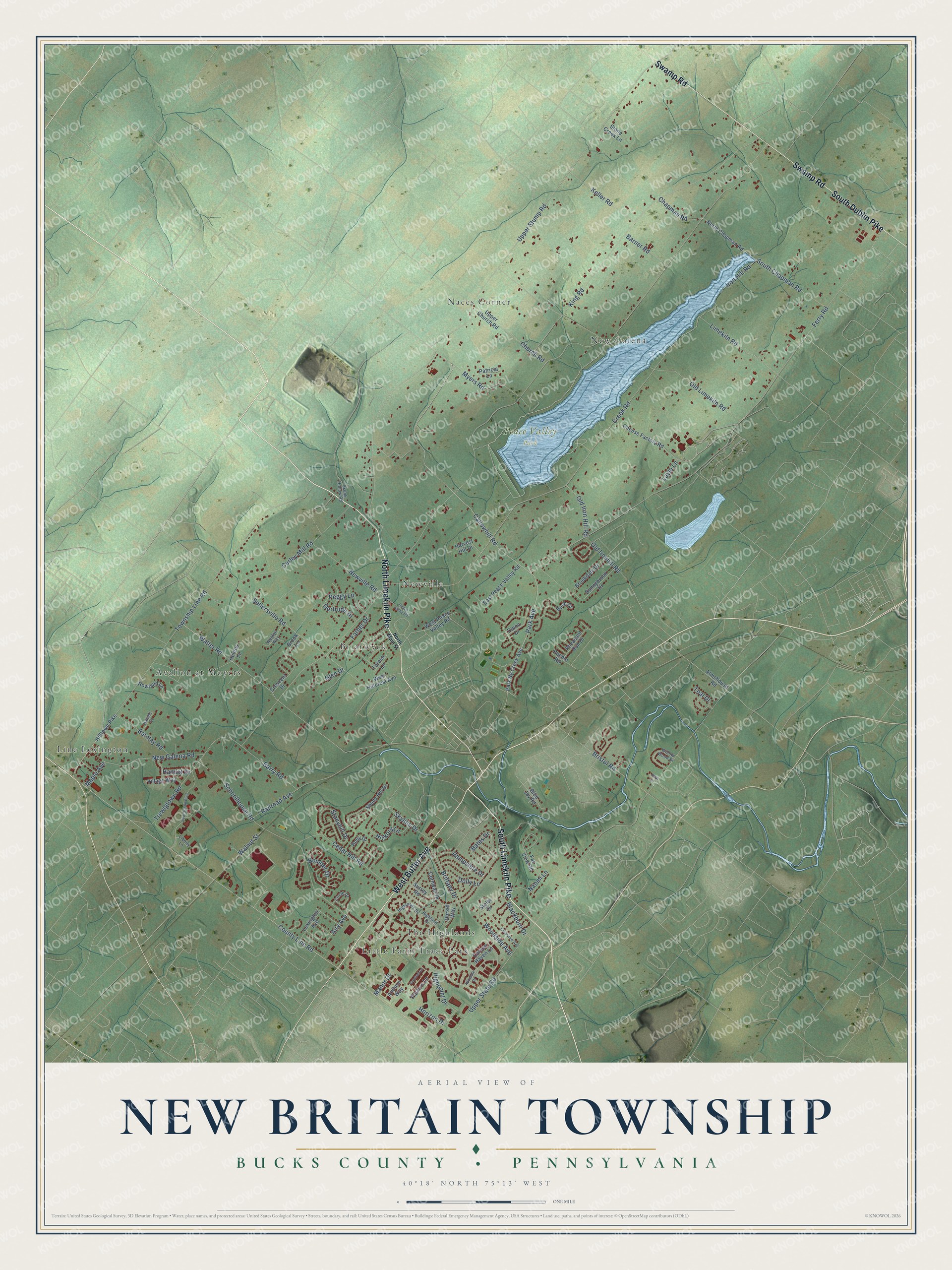
This beautifully detailed map of New Britain Township, Pennsylvania was created in 2026 using aerial imagery combined with modern topographical, census, street and landmark data. It’s a one-of-a-kind view of New Britain Township that combines accurate data with a vintage aesthetic. The map shows every building in its true location, many of the roads carry their names, and the shaded topographic relief shows the shape of the land.
Explore an aerial view of New Britain Township, Pennsylvania
On the map you’ll find Peace Valley Park, Avallon at Moyers, Briarwyck, Brittany Farms, Fountainville, Line Lexington, Little Farm Trace Park, Naces Corner, New Galena, Newville, and The Highlands, along with North Limekiln Pike, and more. If you look closely you can even find your house accurately drawn in its correct location. Zoom in on the preview to look for yours.
Did you know this piece of New Britain Township, Pennsylvania history?
Simon Butler was the leading man of early New Britain Township. He came from Wales about 1712 with his cousin Simon Mathew. Between 1715 and 1720 they took up land where Pine Run meets the Neshaminy. There they built the first grist mill in the township. Butler also wrote wills, surveyed land and helped lay out roads for his neighbors. That’s from the 1876 History of Bucks County, Pennsylvania.
Take a closer look at the New Britain Township map
Street and place names on the New Britain Township, Pennsylvania map
These names are printed on the map of New Britain Township, Pennsylvania.
Places: Peace Valley Park, Line Lexington, Briarwyck, Little Farm Trace Park, New Galena, Avallon at Moyers, Naces Corner, Newville and The Highlands.
Streets and roads: North Limekiln Pike, South Limekiln Pike, West Butler Avenue, South Dublin Pike, Swamp Road, Manor Drive, Park Avenue, Callowhill Road, Horizon Drive, Walter Road, Chapman Road, New Galena Road.
More street names, A to Z
Airy Avenue, Almshouse Road, Anthem Way, Barclay Road, Barner Road, Barry Road, Bates Drive, Blackburn Drive, Blue Jay Road, Boulder Drive, Bristol Road, Brittany Drive, Brookdale Drive, Brook Lane, Bush Court, Carson Haven Lane, Cedar Hill Road, Cheese Factory Road, Church Road, Circle Drive, Clearview Avenue, Cornwall Drive, County Line Road, Cowbell Lane, Creek Road, Crescent Drive, Curley Mill Road, Diana Drive, Dolly Lane, Dorset Way, East Peace Valley Road, Farber Drive, Far View Road, Ferry Road, Gertrude Drive, Glen Drive, Haines Court, Hamlet Drive, Hampshire Drive, Harvest Hill Drive, Helens Lane, Hickory Lane, Highland Drive, Highlands Drive, Highpoint Drive, Hilltown Pike, Holly Drive, Iron Hill Road, Keller Road, King Road, Layle Lane, Lexington Avenue, Liberty Lane, Limekiln Road, Maple Avenue, Myers Road, Naomi Lane, New Britain Boulevard, Newville Road, North Chapman Road, North Main Street, Old Ironhill Road, Old Iron Hill Road, Old Limekiln Road, Park Ny Creek Avenue, Pasture Lane, Patricia Lane, Peace Valley Road, Peggy Lane, Pheasant Run Drive, Pueblo Road, Railroad Avenue, Rowland Lane, Ruth Lane, Schoolhouse Road, Sellersville Road, Shady Hill Drive, Skunk Hollow Road, Skyline Drive, South Chapman Road, Stoler Drive, Stone Creek Lane, Stonyhill Drive, Sunnybrook Drive, Surrey Road, Teal Drive, Teresa Lane, Township Line Road, Trewigtown Road, Upper Church Road, Upper State Road, Upper Stump Road, Village Way, Walden Way, Walnut Street, West Hillcrest Avenue, West Peace Valley Road, Willow Wood Drive, Woodside Avenue, Wyndale Drive.
See the New Britain Township, Pennsylvania map on a wall
The New Britain Township, Bucks County map as an 18 x 24 inch print in a black frame.

This beautifully detailed map of New Britain, Bucks County makes an attractive addition to your office, library, or den, and it can even be used to teach children the geography and history of the area. It also makes a great gift for anyone with New Britain Township roots. When you’re done exploring, click here to get your copy of the New Britain, Bucks County map.