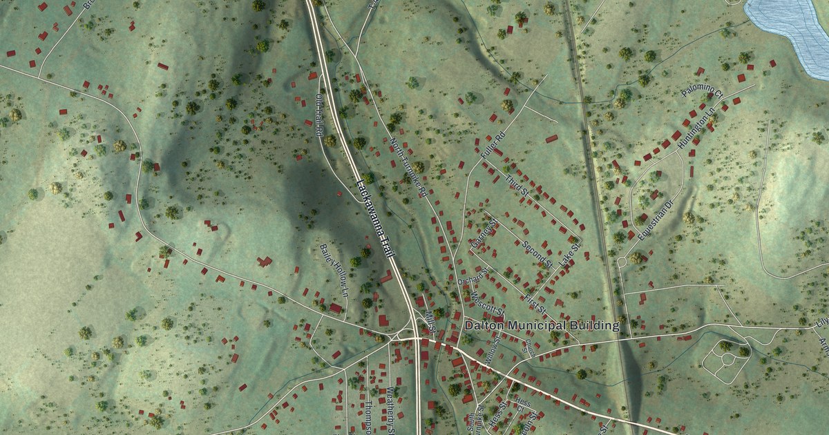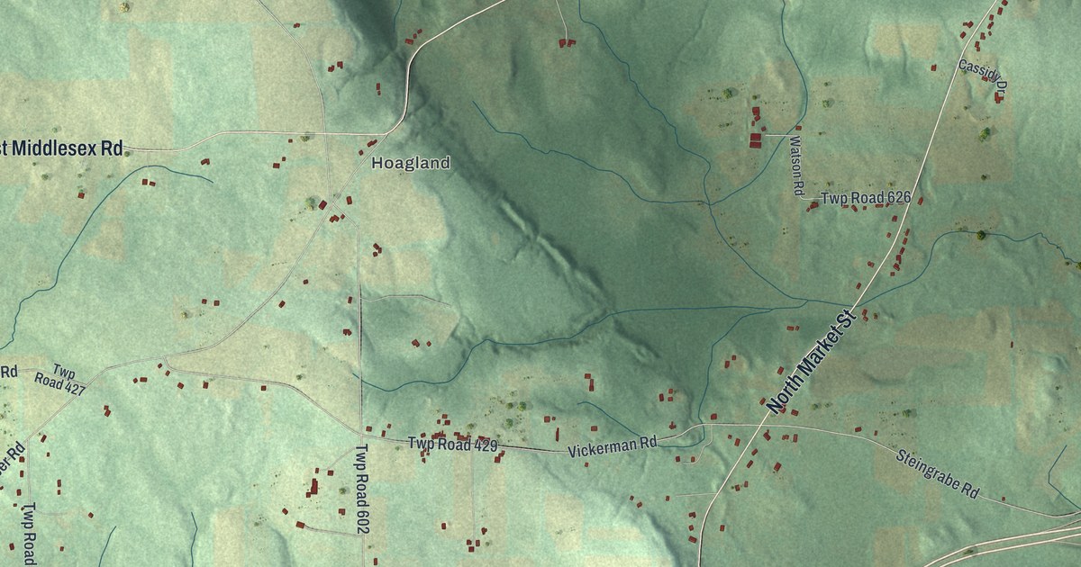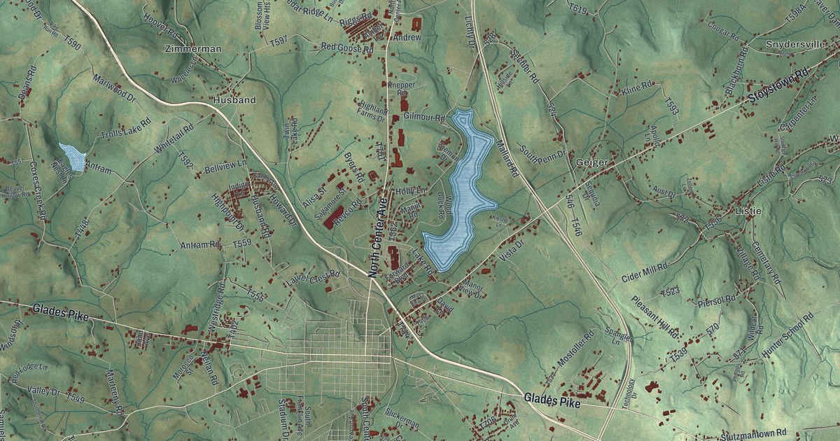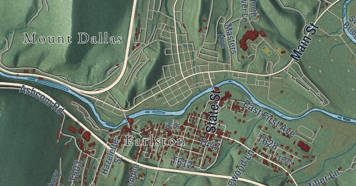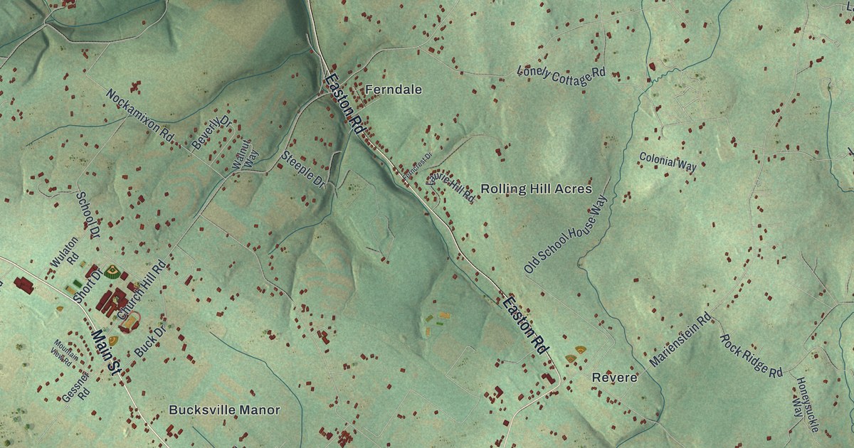
This beautifully detailed map of Nockamixon, Pennsylvania was created in 2026 using aerial imagery combined with modern topographical, census, street and landmark data. It’s a one-of-a-kind view of Nockamixon that combines accurate data with a vintage aesthetic. The map shows every building in its true location, many of the roads carry their names, and the shaded topographic relief shows the shape of the land.
Explore an aerial view of Nockamixon, Pennsylvania
On the map you’ll find Nockamixon State Park, State Game Lands Number 56, Bucksville, Bucksville Manor, Ferndale, Harrow, Kintnersville, Revere, and Rolling Hill Acres, along with Durham Road, Main Street, River Road, and more. If you look closely you can even find your house accurately drawn in its correct location. Zoom in on the preview to look for yours.
Did you know this piece of Nockamixon, Pennsylvania history?
From the 1876 History of Bucks County, Pennsylvania: "In May, 1748, ninety and one-half acres were surveyed to David Maynes, and in June, 1754, one hundred and forty-two acres were patented to Michael Meisser, and other lands were surveyed to him in 1766."
Take a closer look at the Nockamixon map
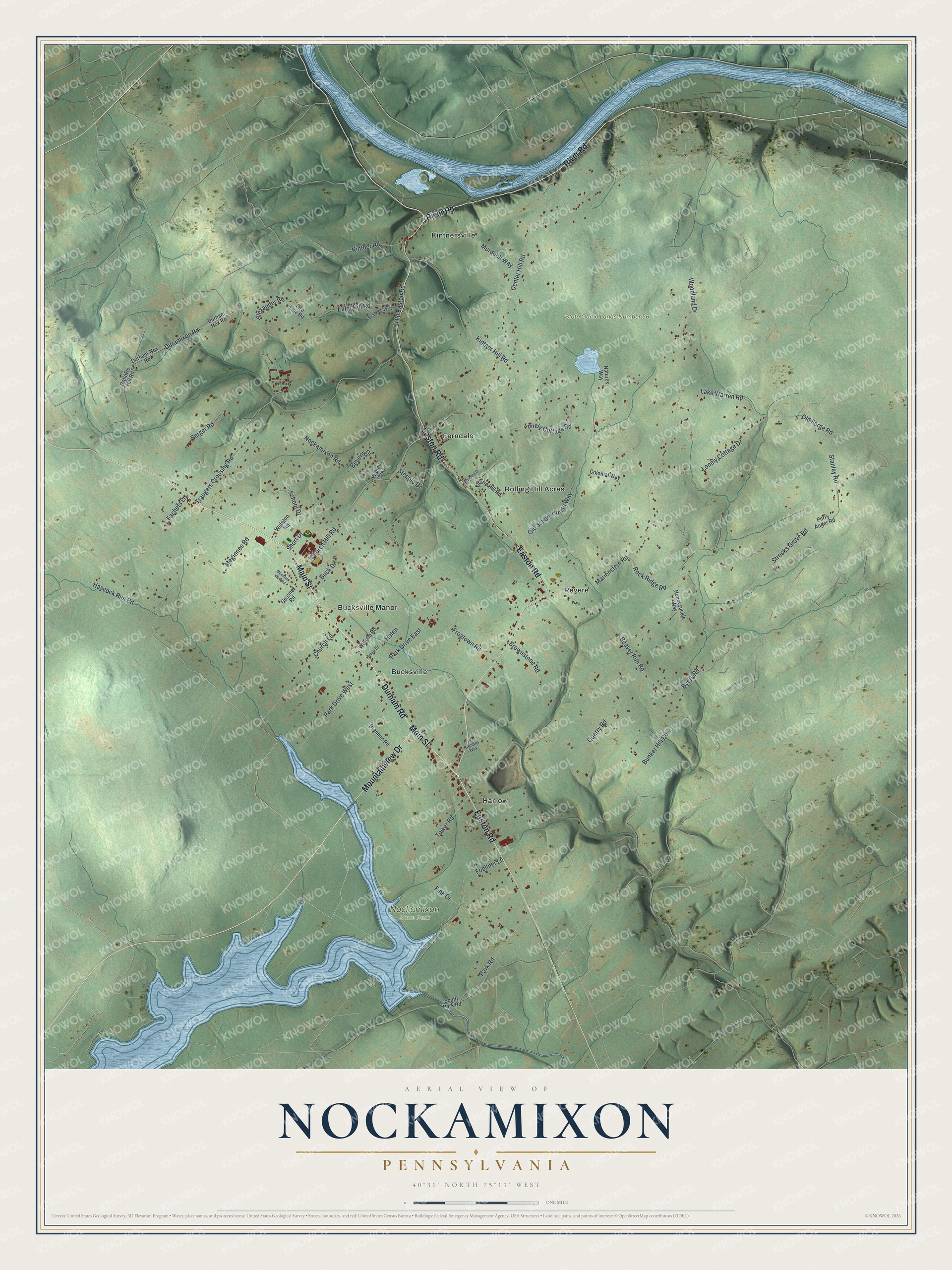
Street and place names on the Nockamixon, Pennsylvania map
These names are printed on the map of Nockamixon, Pennsylvania.
Places: Nockamixon State Park, State Game Lands Number 56, Bucksville, Bucksville Manor, Ferndale, Harrow, Kintnersville, Revere and Rolling Hill Acres.
Streets and roads: Durham Road, Main Street, River Road, Easton Road, Mountainview Drive, Tower Road, Haycock Run Road, Center Hill Road, Marienstein Road, Lake Warren Road, Traugers Crossing Road, Kintner Hill Road.
More street names, A to Z
Alexander Road, Beaver Run Road, Berger Road, Beverly Drive, Brandon Way, Brendas Way, Brennan Road, Brownstone Road, Buck Drive, Bunker Hill Road, Byers Road, Church Hill Road, Church Lane, Colonial Way, Duramixon Road, Durham-Nox Road, Durham Nox Road, Ealer Hill Road, Fachets Lane, Ferncrest Drive, Fink Drive, Fire Line Road, Foellner Lane, Frogtown Road, Gallows Hill Road, Gessner Road, Helen, Helen Drive, Honeysuckle Way, Kintner Road, Laurie Hill Road, Lonely Cottage Drive, Lonely Cottage Road, Meginnes Road, Mountain View Road, Murdoch Way, Natures Way, Nockamixon Road, Old Easton Road, Old Forge Road, Old School House Way, Park Drive East, Park Drive West, Park Road, Perry Auger Road, Quarry Road, Rock Ridge Road, School Drive, Short Drive, South Park Road, Stanley Road, Steeple Drive, Strocks Grove Road, Walnut Way, William Road, Woodland Drive, Wulaton Road.
See the Nockamixon, Pennsylvania map on a wall
The Nockamixon map as an 18 x 24 inch print in a black frame.

This beautifully detailed map of Nockamixon makes an attractive addition to your office, library, or den, and it can even be used to teach children the geography and history of the area. It also makes a great gift for anyone who grew up in Nockamixon or moved away. When you’re done exploring, click here to get your copy of the Nockamixon map.