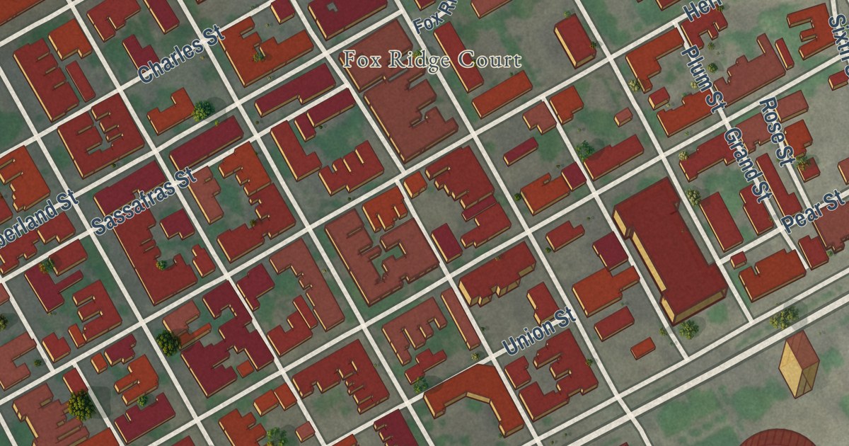
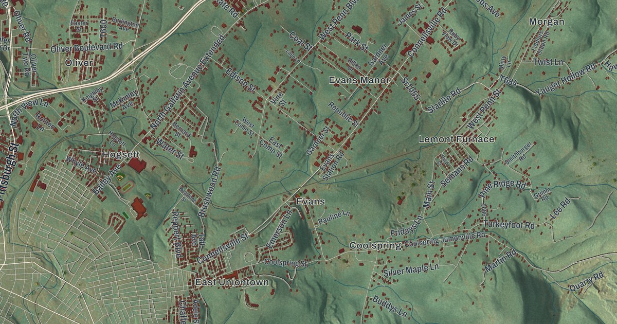
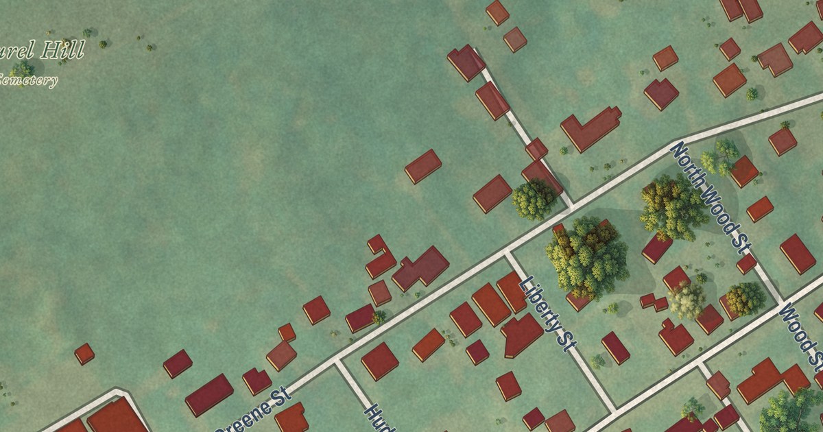
This beautifully detailed map of Middle Hill, Pennsylvania was created in 2026 using aerial imagery combined with modern topographical, census, street and landmark data. It’s a one-of-a-kind view of Middle Hill that combines accurate data with a vintage aesthetic. The map shows every building in its true location, many of the roads carry their names, and the shaded topographic relief shows the shape of the land.
Explore an aerial view of Middle Hill, Pennsylvania
On the map you’ll find Hill District, along with Wylie Avenue, Herron Avenue, Elba Street, Webster Avenue, Bedford Avenue, Centre Avenue, Humber Way, Chauncey Street, Junilla Street, Wandless Street, Watt Street, and more. If you look closely you can even find your house accurately drawn in its correct location. Zoom in on the preview to look for yours.
Did you know this piece of Middle Hill, Pennsylvania history?
From the City of Pittsburgh: "The Middle Hill developed in the mid-1800s. At the turn of the 20th century, the neighborhood was home to a mix of immigrants who resided in one- and two-story brick and frame dwellings on narrow lots."
Take a closer look at the Middle Hill map
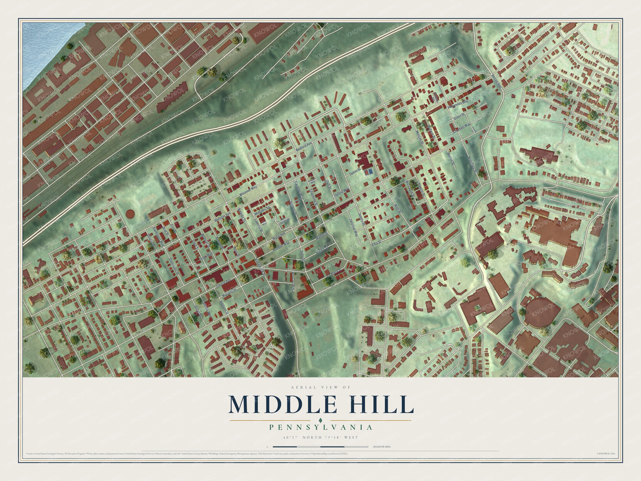
Street and place names on the Middle Hill, Pennsylvania map
These names are printed on the map of Middle Hill, Pennsylvania.
Places: Hill District.
Streets and roads: Wylie Avenue, Herron Avenue, Elba Street, Webster Avenue, Bedford Avenue, Centre Avenue, Humber Way, Chauncey Street, Junilla Street, Wandless Street, Watt Street, Kirkpatrick Street.
More street names, A to Z
Addison Street, Belinda Street, Bloomer Way, Calliope Way, Caramel Way, Crockett Way, Davenport Street, Davenport Way, Duff Street, Elmore Street, Erin Street, Francis Street, Granite Street, Grove Street, Hallett Street, Hemans Street, Hollace Street, Horton Street, Ishar Way, Iskar Way, Jacobus Way, La Place Street, Lawson Street, Mahon Street, Mc Clarren Street, Midtown Square, Montague Street, Morgan Street, Orbin Street, Perry Street, Seal Street, Shipton Street, Soho Street, Somers Street, Trent Street, Upfold Way, Upton Street, Vera Cruz Way, Verdant Way, Vincennes Way, Webster Terrace, Wooster Street.
See the Middle Hill, Pennsylvania map on a wall
The Middle Hill map as an 18 x 24 inch print in a black frame.

This beautifully detailed map of Middle Hill makes an attractive addition to your office, library, or den, and it can even be used to teach children the geography and history of the area. It also makes a great gift for anyone with Middle Hill roots. When you’re done exploring, click here to get your copy of the Middle Hill map.