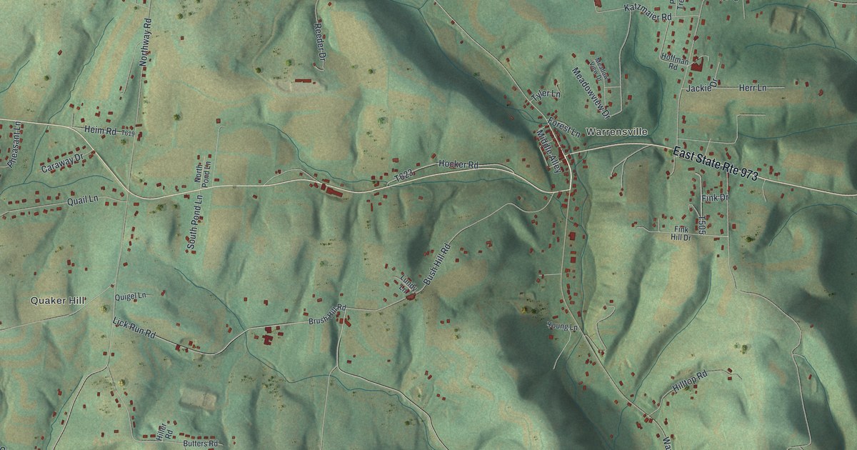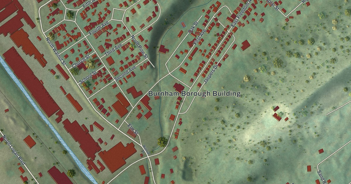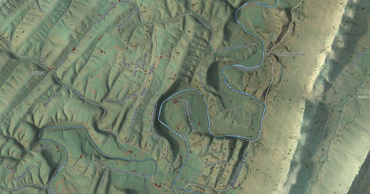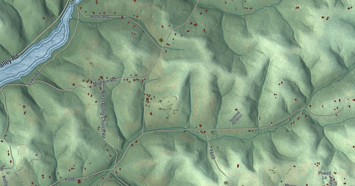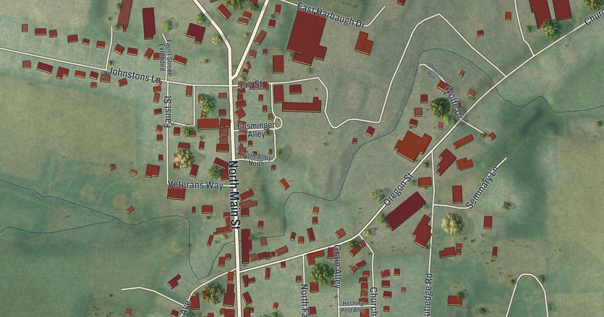
If you grew up in Mercersburg, or your family still lives off North Main Street, this map brings your town home. It's a modern aerial view of Mercersburg in Franklin County, Pennsylvania, built from modern data and given a vintage look. You'll see Main Street running through the middle of town, the blocks around the General Hugh Mercer Building, and open farm fields on every side.
Buchanan and Harriet Lane on North Main Street
On this map you'll find North Main Street, South Main Street, Fort Loudon Road, Buchanan Trail West, the General Hugh Mercer Building, Fairview Cemetery, West Seminary Street, East Seminary Street, Church Street, Bennett Avenue, Oregon Street, Mercer Avenue, West California Street, and more. Each red shape is a building, so zoom in on the preview and look for yours.
James Buchanan was the 15th President of the United States. He was born at Stony Batter, but he lived in Mercersburg from 1796 to 1807. His home stood at 17 North Main Street. At 16 North Main is the Lane House. Thomas Lane built it. In 1830, Harriet Lane was born there. She was Buchanan's niece. When he became President, she served as the hostess of the White House. Two state historical markers tell both stories. Find North Main Street near the center of the map, and you're looking at the block where they lived.
The 54th Massachusetts and Bennett Avenue
Mercersburg has another story worth knowing. In 1863, the 54th Massachusetts Regiment was one of the first Civil War combat units open to African Americans. More than 20 percent of its men came from Pennsylvania. In the whole state, only Philadelphia sent more volunteers than Mercersburg. The regiment's courage helped change how people saw Black soldiers. It also helped bring in more recruits. Today, 38 veterans of the U.S. Colored Troops rest at Zion Union Cemetery on Bennett Avenue. Thirteen of them served in the 54th.
From North Main Street to Fairview Cemetery
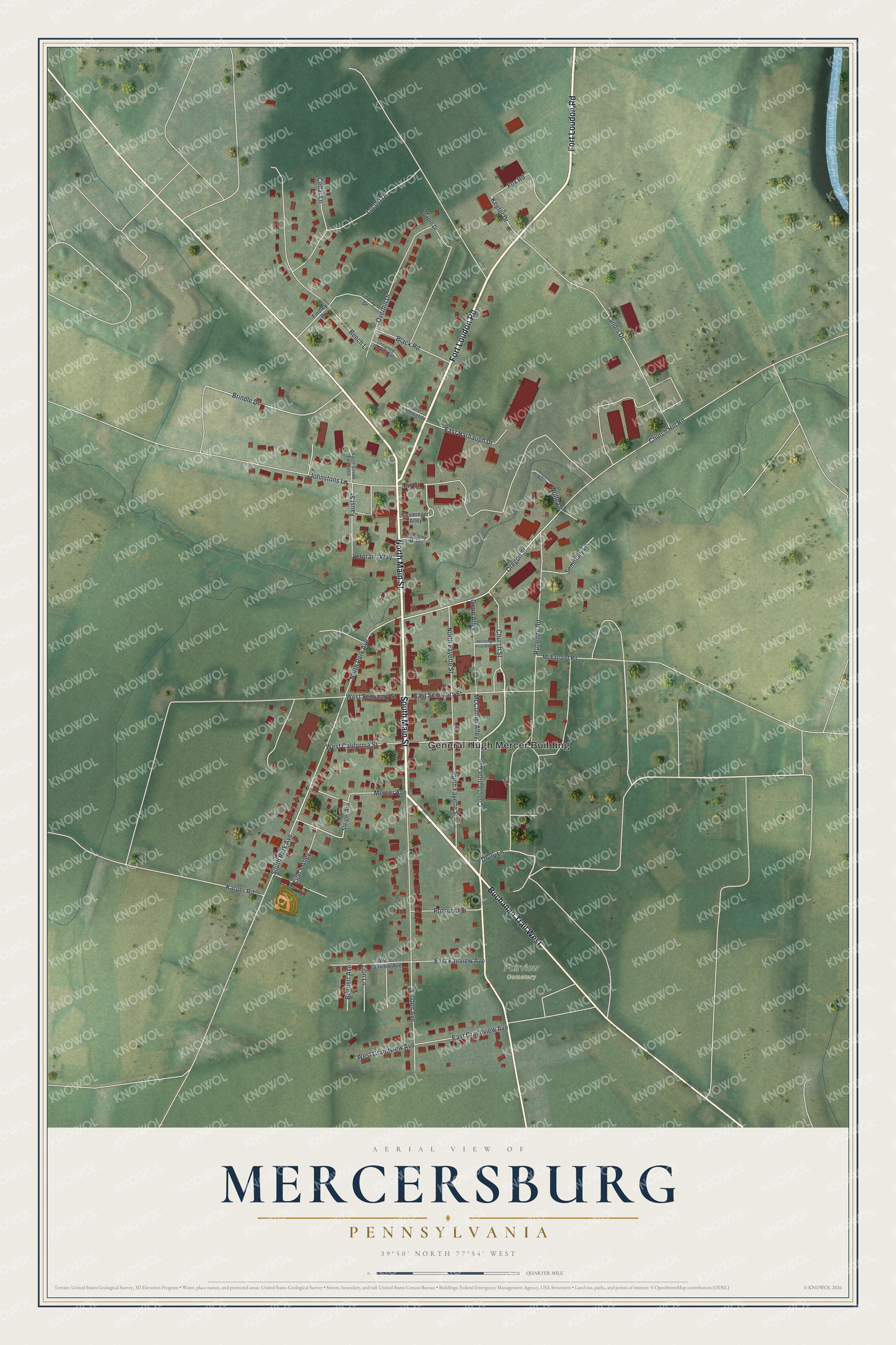
Created by KNOWOL in 2026, this print shows Mercersburg from above in soft greens, with red buildings, thin white roads and a blue creek in one corner. The cream title panel reads "Aerial View of Mercersburg, Pennsylvania" with 39°50' North 77°54' West set beneath it.
It fits a front hall, a den or a home office. It's a good gift for someone who knows the blocks around the General Hugh Mercer Building, or for anyone who moved away from Franklin County and still calls Mercersburg home. Open the preview and find your street. See sizes and frames for the Mercersburg map.