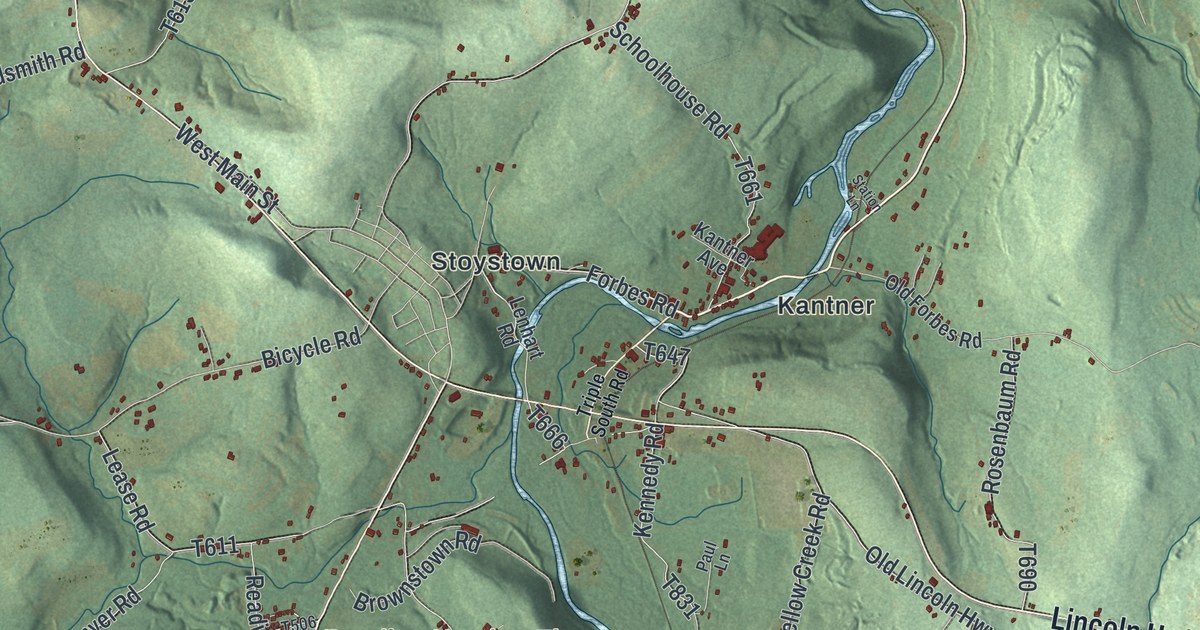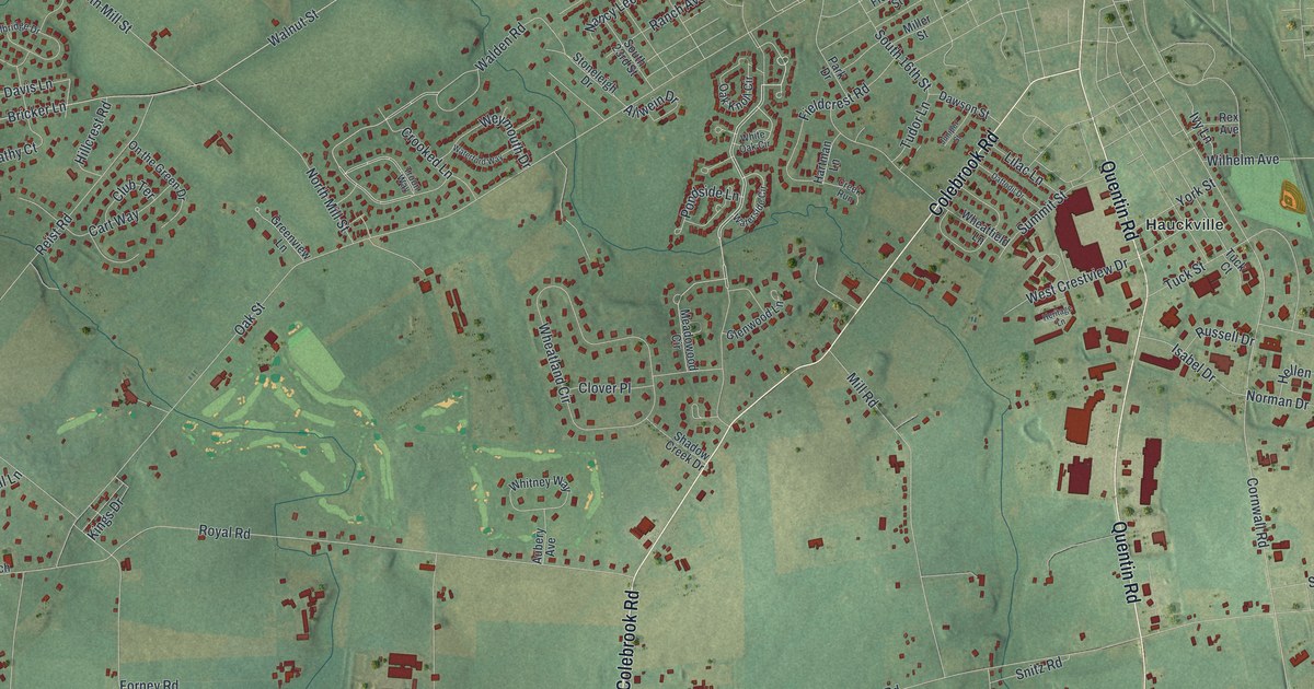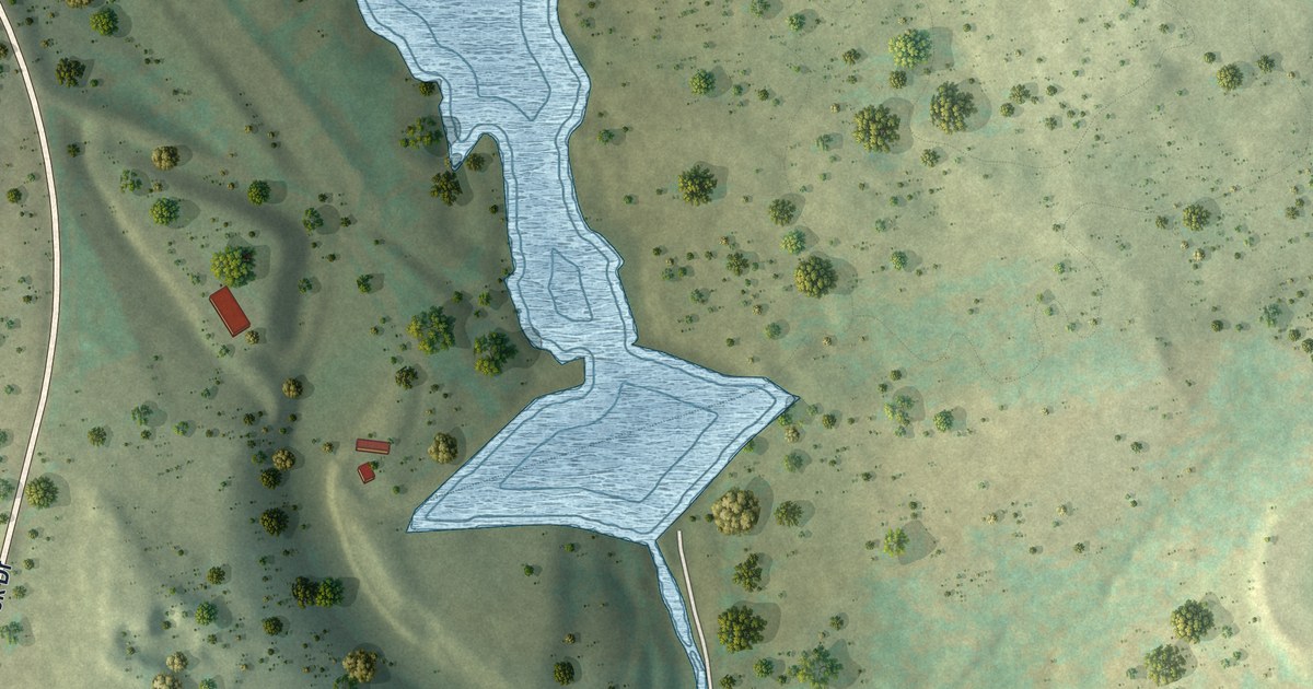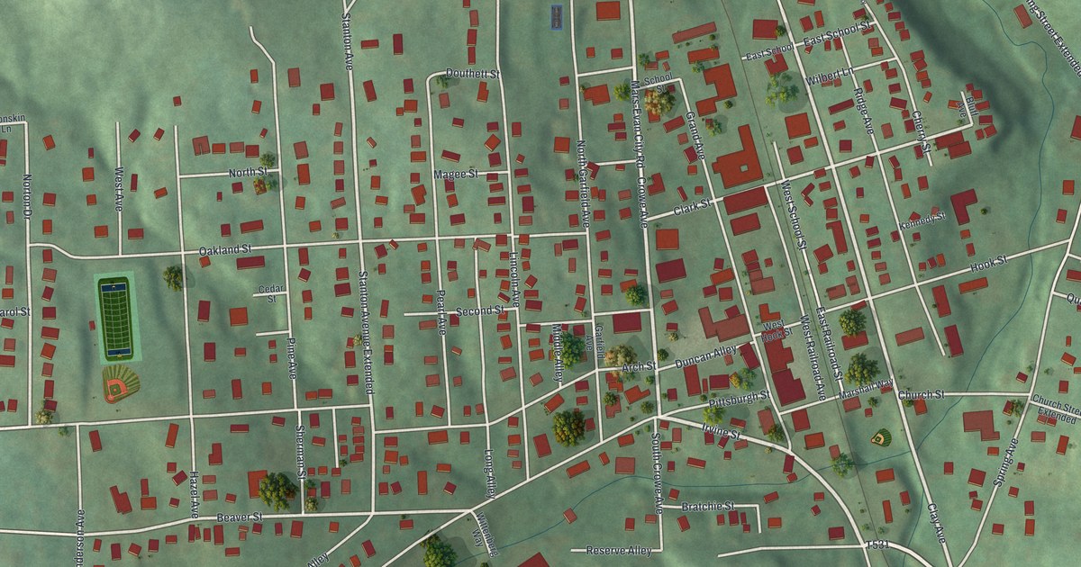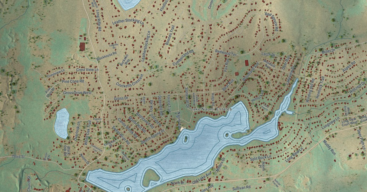
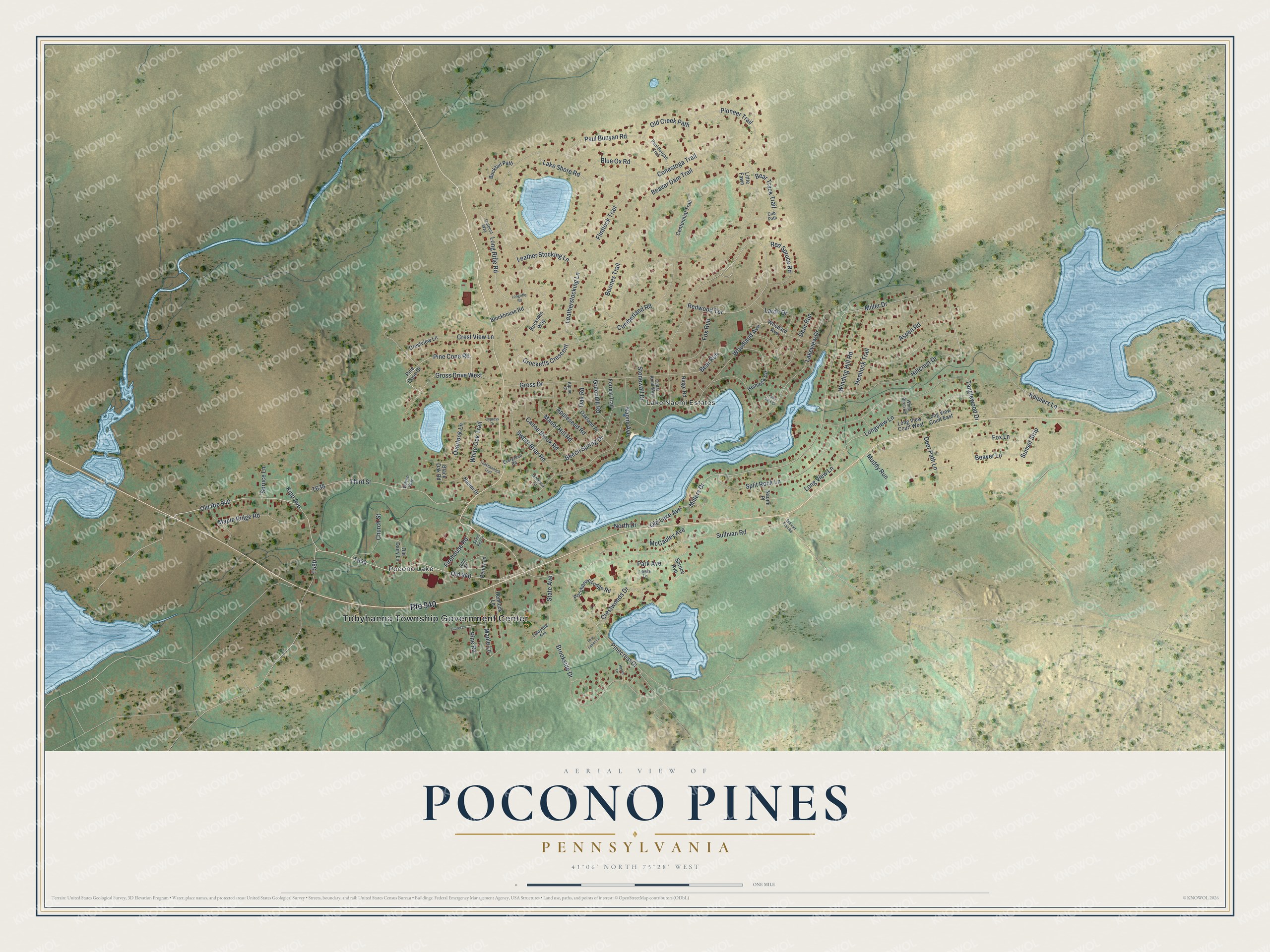
This beautifully detailed map of Pocono Pines, Pennsylvania was created in 2026 using aerial imagery combined with modern topographical, census, street and landmark data. It's a modern aerial view of Pocono Pines in Monroe County, Pennsylvania, that combines modern data with a vintage aesthetic. The roads feature printed names, and if you look closely you can find your exact house accurately shown in its correct location.
Explore an aerial view of Pocono Pines, Pennsylvania
On this map you'll find Tobyhanna Township Government Center, Pocono Lake, Lake Naomi Estates, Pine Cone Road, Millers Drive, Redwood Terrace, Miller Drive, Leather Stocking Lane, Conestoga Trail, T644, Woodland Avenue, Sullivan Road, and more. Each red shape is a building, so zoom in on the preview and look for yours.
Pocono Pines is a community in Monroe County. The Census Bureau counted 2,007 people here in 2020. Pocono Pines sits about 3 miles northwest of Emerald Lakes, 5 miles west of Mount Pocono and 8 miles north of Indian Mountain Lake. The map prints the town name in its title panel, with the coordinates below it.
Take a closer look at the Pocono Pines map
Names on this map
These names are printed on this map.
Places: Tobyhanna Township Government Center, Pocono Lake and Lake Naomi Estates.
Streets and roads: Route 940, Old Route 940, Pine Cone Road, Millers Drive, Redwood Terrace, Miller Drive, Leather Stocking Lane, Conestoga Trail, Woodland Avenue, Sullivan Road, Gross Drive, Lakeview Drive.
More street names, A to Z
Alpine Court, Appleseed Road, Aspen Road, Bear Run, Bear Track Trail, Beaver Dam Trail, Beaver Lane, Beech Spring Drive, Black Oak Road, Blockhouse Road, Blue Ox Road, Boones Trail, Brookside Drive, Buckskin Way, Bucktail Path, Canoe Brook Road, Cedar Knoll Way, Centennial Trail, Church Street, Crest View Lane, Crestview Lane, Crestwoods Drive, Crocketts Crescent, Cub Path, Cumberland Road, Cypress Drive, Deer Path Lane, Deer Run, Evergreen Road, Firehouse Road, Flintlock Trail, Forrest Trail, Fox Lane, Fox Run, Greenhill Road, Gross Drive West, Hemlock Circle, Hemlock Lane, Hemlock Trail, Heron Lane, Hillcrest Drive, John Street, Keiplers Lane, Kipp Avenue, Lafayette Avenue, Lake Shore Road, Lake View Court, Larch Drive, Laurel Lane, Leatherstocking Lane, Lewis Lane, Little Fawn, Long Rifle Road, Longrifle Road, Long View Court East, Long View Court West, Long View Lane, Longview Lane, Lost Lakes Lane, Manor Hill Road, Maple Lane, Maple Ridge Road, McCauley Avenue, Muddy Run, Naomi Avenue, Naomi Drive, Naomi Place, North Drive, Oakland Place, Oak Road, Old 940, Old Creek Path, Old Dairy Lane, Old Lake Avenue, Outpost Way, Overlook Lane, Owaissa Court, Park Avenue, Paul Bunyan Road, Paul Bunyan Trail, Penny Lane, Pine Cone Drive, Pinecrest Drive, Pine Road, Pioneer Trail, Pocohanne Lodge Road, Red Spruce Road, Ridge Road, Split Rock Lane, Spruce Avenue, Spruce Lane, State Avenue, Stonewall Drive, Sullivan Trail Road, Sunset Strip, Sweet Briar Road, Sweet Pea Lane, Tanglewood Drive, Third Street, Tunkhannock Trail, White Birch Road, White Oak Trail, Wilson Way, Winding Hill Road, Woodard Avenue.
See it on a wall
The Pocono Pines map as a framed print. Swipe for more.


Created by KNOWOL in 2026. The buildings are small red shapes, the roads carry their printed names, and shaded relief shows the shape of the land. The title panel reads "AERIAL VIEW OF POCONO PINES, PENNSYLVANIA" with 41°06' NORTH 75°28' WEST.
Hang it in the hallway, the office or the cabin, or give it to someone who left Pocono Pines and still calls it home. Open the preview and look for a street you know. See sizes and frames for the Pocono Pines map.