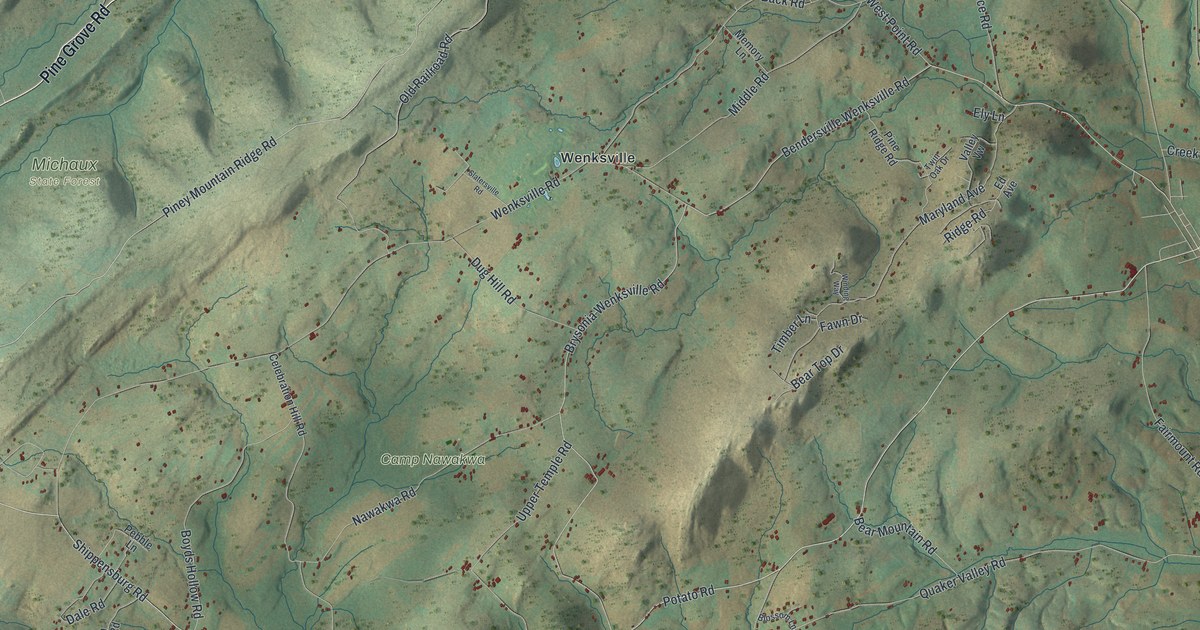
If you grew up near Aspers, Floradale or Wenksville, or spent a summer at Camp Nawakwa, this is ground you know. It's a modern aerial view of Menallen Township in Adams County, Pennsylvania, made from modern data and given a vintage feel. The long ridges of Michaux State Forest fill the left side. Small farms and back roads spread across the middle, and the red buildings of Aspers gather on the right.
From Michaux State Forest to Aspers
On this map you'll find Carlisle Road, Aspers, Floradale, Wenksville, Mount Tabor, Brysonia, Bridgeport, Camp Nawakwa, Michaux State Forest, Pine Grove Road, Narrows Road, Quaker Valley Road, Bear Mountain Road, Dead Woman Hollow Road, and more. Each red shape is a building, so zoom in on the preview and look for yours.
Menallen is hill country. The 1886 History of Adams County names the hills one by one. Piney Hill runs through the west side. Bear Mountain sits in the middle. Round Top rises just north of Bendersville. Mountains form the line with Cumberland County. Opossum Creek starts on Bear Mountain, and Mountain Creek starts at the foot of Piney Hill. On the map, the shaded ridges show that rough ground, and Bear Mountain Road still carries one of the old names.
How Bonfires Laid Out the Gettysburg and Newville Road
Those hills made road building hard. In 1829 and 1830, six men laid out the Gettysburg and Newville road through the township. They wanted the line to run straight over hill after hill. So each night they made a bonfire on the hills to mark the course. Look at the shaded ridges across the map and picture those fires in the dark.
The same book keeps other small records. On January 6, 1874, Benjamin Deardorff cut the largest white pine in the township. It was four feet across at the stump. By 1886 the township had four post offices: Bendersville, Flora Dale, Aspers and Wenks. You can still find Aspers, Floradale and Wenksville printed on this map.
A Map for Aspers, Floradale and Wenksville
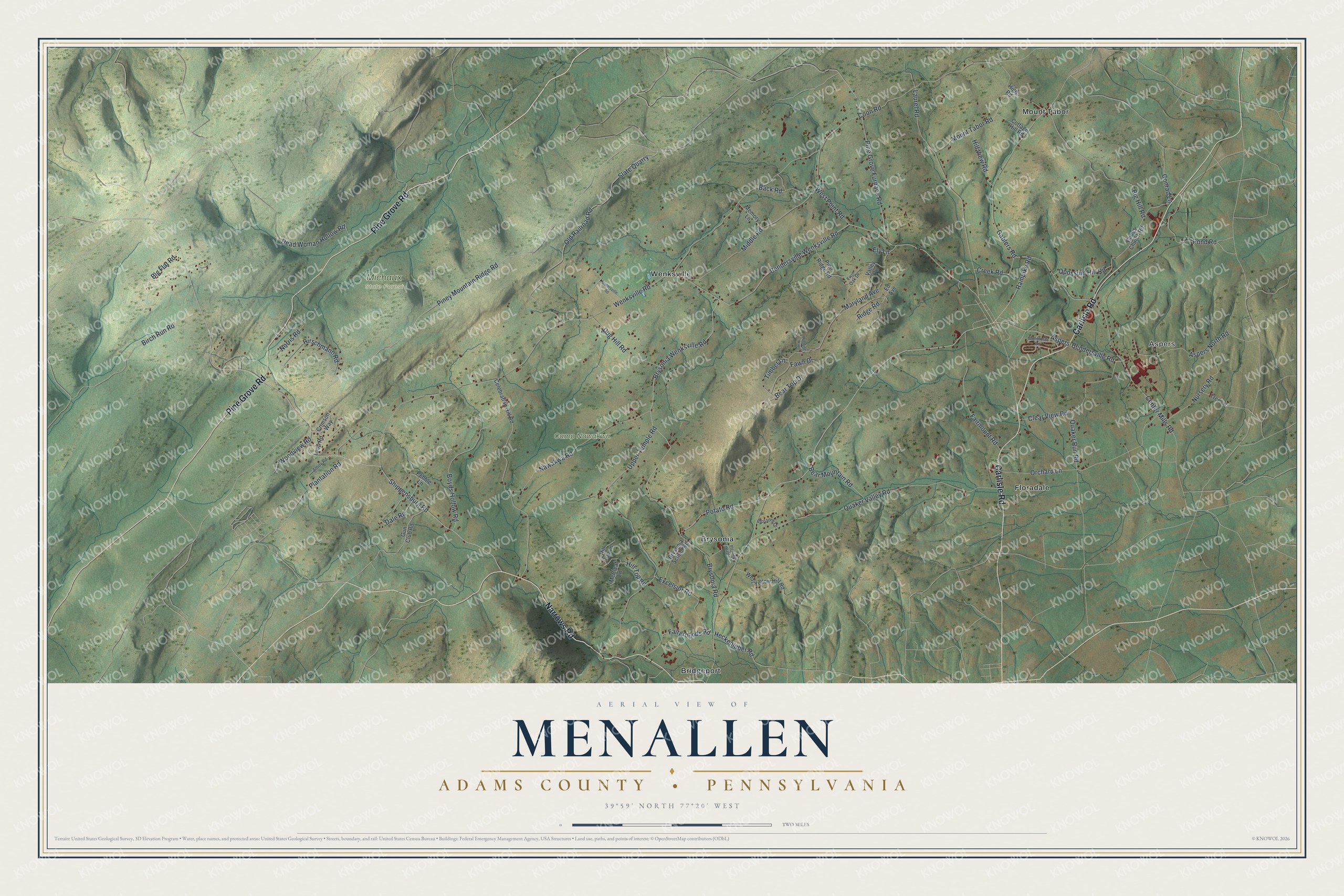
Created by KNOWOL in 2026, this print shows Menallen in soft greens, with shaded ridges, thin white roads and small red buildings. The title panel at the bottom reads Aerial View of Menallen, Adams County • Pennsylvania, with 39°59' North 77°20' West below it.
It fits a farmhouse kitchen, a den or a home office. It's a good gift for someone who went to Camp Nawakwa, or for a family that moved away from Aspers and still thinks of the hills. Open the preview and find your road. See sizes and frames for the Menallen, Adams County map.