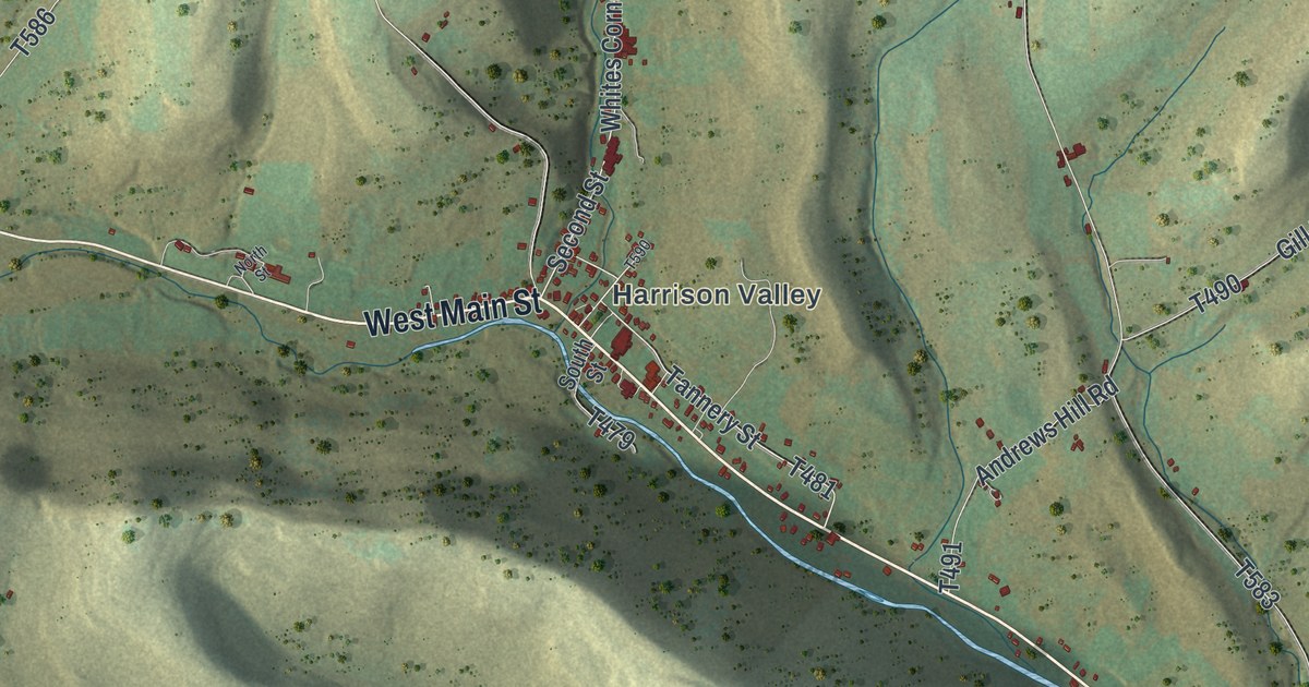
If you grew up in Harrison Valley, have family out near North Fork or Elmer, or drive West Main Street out through Mills, you can trace your way home on this map. It's a modern aerial view of Harrison Township in Potter County, Pennsylvania, built from modern data and given a vintage artistic feel. About 1,100 buildings are marked in red, the hills are shaded in sage and cream, and a creek runs in pale blue down the valley from Harrison Valley to Elmer. Explore the print options for Harrison, Potter County.
Harrison Valley, Mills, North Fork and Elmer
Start at Harrison Valley, just right of center, where West Main Street, East Main Street and Tannery Street meet. East Main Street follows the creek southeast to Elmer, near the bottom right. West Main Street runs the other way, west along the valley to Mills, and past Mills the road is labeled Rte 49 West as it heads southwest off the left side of the sheet. From Harrison Valley, Whites Corner Road heads north to a crossroads. There McCutcheon Road keeps going north, and Harrison Fox Hill Road branches east. North Fork is up in the top right, where Plumstead Road, Schall Road and Stone Road come together, and North Fork Road runs west across the top of the sheet. In the upper left, Pleasant Valley Road, State Hill Road and Harrison Rooks Road cross the hills. Down in the lower left, Dodge Hollow Road and White Knoll Road wind through the hollows. Many of the roads are named, and each red mark is a building, so zoom in on the preview and find your road.
An 1890 county history walks through Harrison Township as it was around 1849. When the Stevens family arrived that year, the only house where Harrison Valley now stands was Goodman's, a frame house. Richard Goodman ran the first store there, and he was in business by about 1844. After he died, his widow kept it going until 1867, then opened it again in 1878. Out on the Tioga County line lived Reuben Harris, the peddler and storekeeper at North Fork, who made potash and black salts. The blacksmith, Ezekiel Hotchkiss, lived out that way too, and his wife used the campfire for a kitchen. Samuel Warner lived out there too. In 1849 he was an old gray-haired man, and he traveled on his bare feet.
Both places are easy to find on the map. The Harrison Valley label sits right where West Main Street meets Tannery Street, and North Fork is in the top right, toward the Tioga County line.
A gift for anyone raised around Harrison Valley
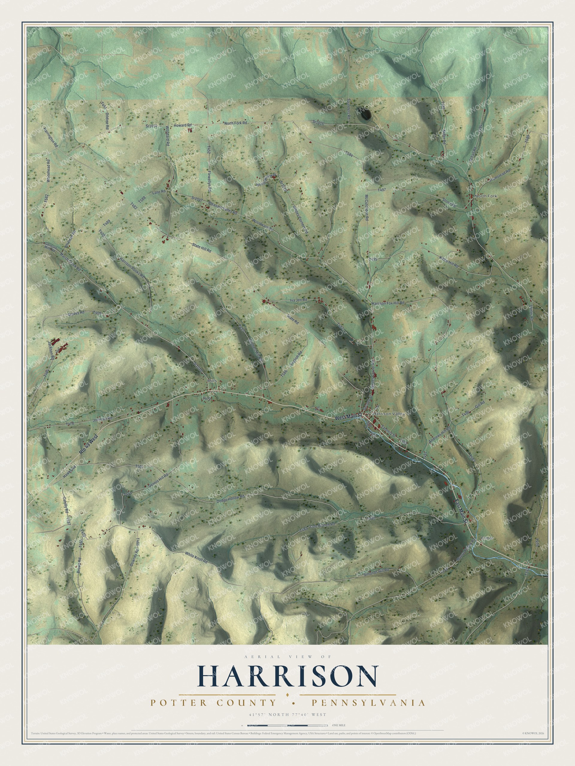
Created by KNOWOL in 2026, this map of Harrison suits a den, a farmhouse kitchen or an office. It's built from USGS elevation data for the hills and Census Bureau records for the roads. The title panel reads "Aerial View of Harrison" above "Potter County • Pennsylvania," with the coordinates 41°57' North, 77°40' West and a one-mile scale bar.
It's a thoughtful gift for anyone who grew up in Harrison Township or still has family near Mills, North Fork or Elmer. Open the preview and follow the road you know. Shop the Harrison, Potter County, Pennsylvania map.