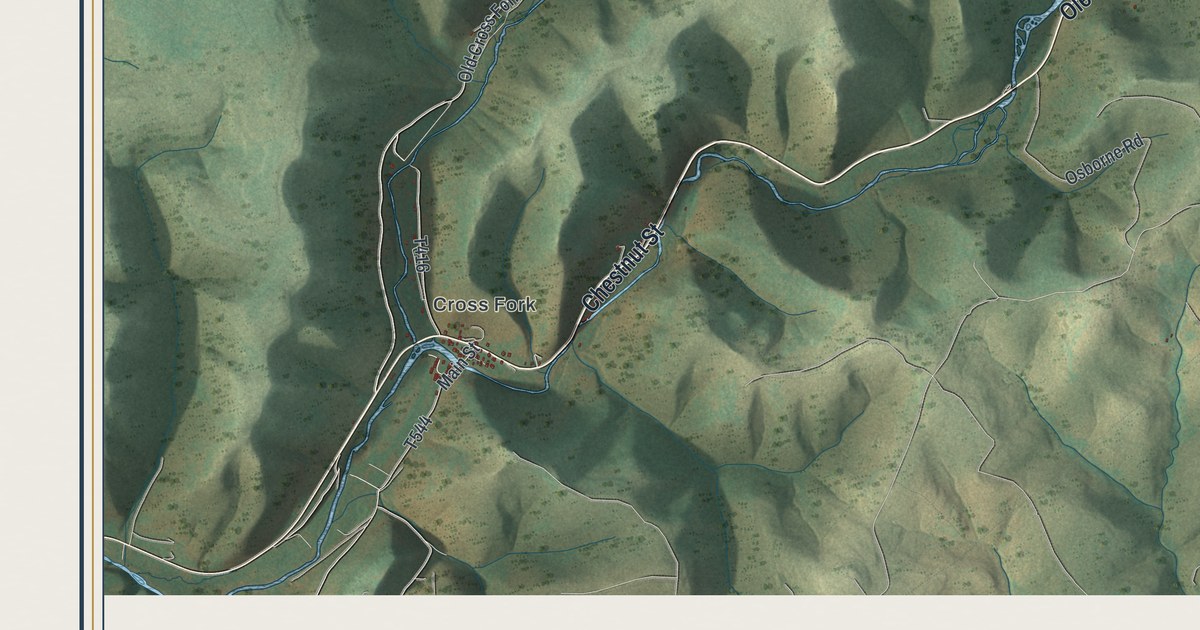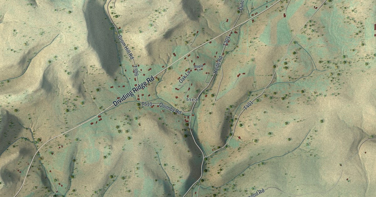
If you grew up along Dividing Ridge Road, or have family near Inez or Ayers Hill, this map gives you a lot to find. It's a modern aerial view of Homer Township in Potter County, Pennsylvania, made from modern data and given a vintage feel. Long valleys run down the sheet toward the south, shaded in soft green and tan. Buildings are marked in red along the roads near the top, around Inez and Ayers Hill. The Susquehannock State Forest label sits in the middle. Explore the print options for Homer.
Inez, Dividing Ridge Road and Ayers Hill
Start at Inez, near the top center of the map. Quimby Road runs through it and meets Dividing Ridge Road. Oak Lane and Maple Lane are short lanes close by. Now follow Dividing Ridge Road southwest. You'll pass Heth Road, which leads to Pioneer Drive, and then Sharon Lane on the left side of the sheet. Back near Inez, Southwoods Road drops into a long valley and runs all the way to the bottom left. Little Moores Run Road splits off it and heads south too. Black Diamond Road runs northeast from there, past Elevenmile Road, to Big Moores Run Road. That road leads up to First Fork Road, which runs down the right side of the sheet. Ayers Hill is printed near its top end, with Gates Hill Road, Snowman Road and Cherry Tree Lane close by. Anson Road sits farther south. Many roads are labeled, and each red shape is a building, so zoom in on the preview and look for yours.
An 1890 history of Potter County says Homer Township "looks only one way, southward." The East Fork and First Fork of the Sinnemahoning start just to the north, in Eulalia, and flow south. You can see it on this map. The valleys run down toward the bottom edge, one beside the next. The streams aren't labeled. But First Fork Road runs north to south along the right side, the same way the book says the First Fork flows.
The same book says Homer was settled in 1838 by Snow and Foster. Dennis Hall, A.W. Lathrop and the Crosbys came next. The 1845 tax list names George and J.H. Ayers. The book doesn't say if Ayers Hill was named for them. In 1890, Inez had L.H. Cobb's general stores and a grocery run by E. Hachet. Homer had 189 people in 1880 and 415 in 1888. The 2020 census counted 438.
For anyone who knows First Fork Road and Inez
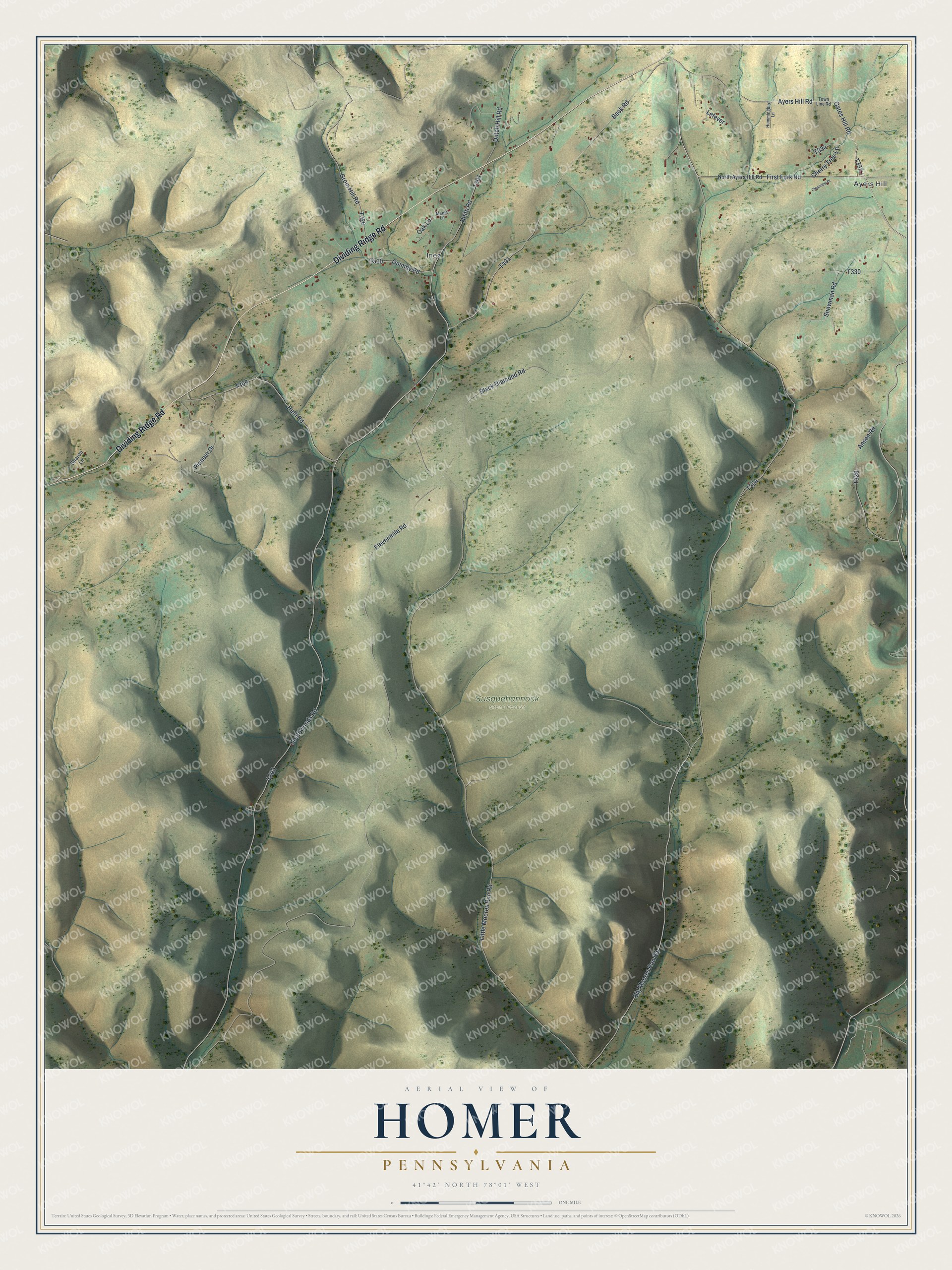
Created by KNOWOL in 2026, this Homer map shows the township's hills in shaded green and tan, with its valleys running south and its buildings marked in red. The shaded hills come from USGS elevation data. The title panel reads "Aerial View of Homer, Pennsylvania," with the coordinates 41°42' North, 78°01' West and a one-mile scale bar.
It suits a den, an office or a camp wall. It's a thoughtful gift for someone who grew up in Homer Township, has family near Inez, or moved away from Potter County. Open the preview and follow First Fork Road down the sheet, then find the roads you know. Shop the Homer, Pennsylvania map.