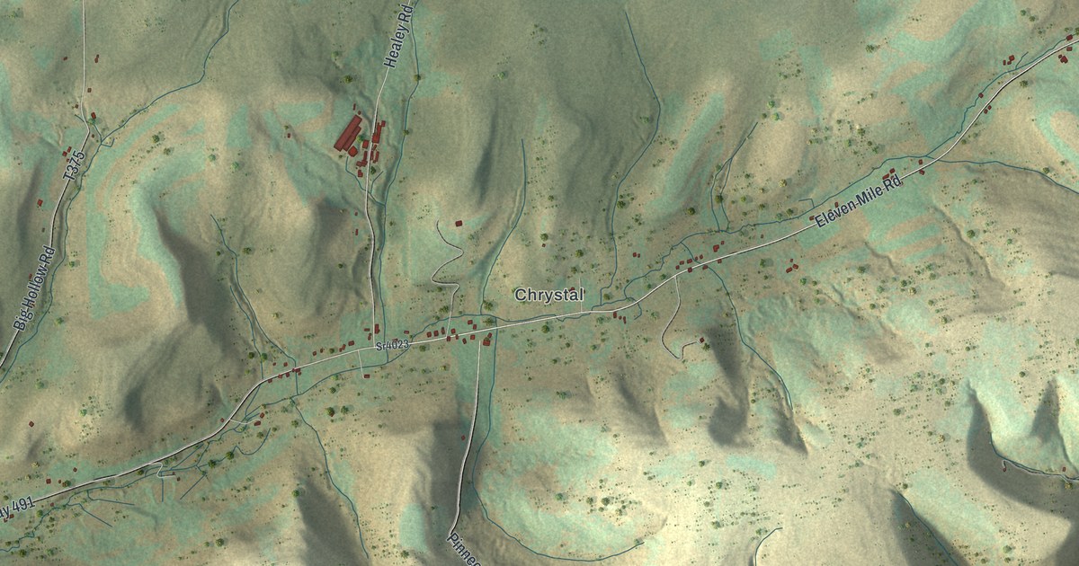
If you grew up in Chrystal or Kibbeville, have family along Eleven Mile Road, or spend deer season in these hollows, this map shows the country you know. It's a modern aerial view of Oswayo Township in Potter County, Pennsylvania, made from modern data with a vintage feel. The hills are shaded in soft green and tan, and the roads follow the hollows between them. About 700 buildings are marked in red. Chrystal sits near the middle, with Eleven Mile in the top right and Kibbeville in the top left. Explore the print options for Oswayo, Potter County.
Chrystal, Eleven Mile Road and Kibbeville
Start at Chrystal, near the middle of the sheet. Eleven Mile Road runs right through it, and it's also printed here as Co Highway 491. Just west of Chrystal, Healey Road heads north. Keep going west and Turkey Path Road and Dodge Road branch off to the south. Kibbeville Road turns north toward Kibbeville in the top left corner. Now go back to Chrystal and follow Eleven Mile Road east. It climbs toward the top right, past Brizzie Hollow Road, to Eleven Mile. There it meets Kinney Road and Butter Creek Road. Butter Creek Road runs back west across the top of the sheet, and parts of it are printed as O'Donnell Rd and Buttercreek Rd.
Brizzie Hollow Road is also printed as Co Highway 366. It runs down the right side of the sheet, past Hemlock Hollow Road, to Rose Lake Road and Co Highway 566 near the bottom. Pined Hill Road heads south from Chrystal into the steep hills. A creek winds along the bottom edge, though it isn't labeled. Many of the roads are named, and each red mark is a building, so zoom in on the preview and look for yours.
Eleven Mile and Chrystal both turn up in an 1890 county history. The Eleven Mile post office opened in March 1857 at Stephen Potter's toll gate on the plank road. Potter was the postmaster. Chrystal was the site of the Dalrymple mills. William Dalrymple's steam sawmill burned in 1888, and his son built a new one. Chrystal got its own post office, with J.J. Rathbun as postmaster. The same book says the township is bounded on the north by the New York State line. That's the darker strip across the top of the map.
The history also tells of George Jones, who came here with his parents in the 1840s. In 1855, he's said to have killed the largest bear known in this part of the county. The book says he heard the bear "taking his preliminary winter snore," and that was the end of the bear. Zoom in at Chrystal and you'll find a row of red buildings along Eleven Mile Road, with a bigger group just to the north.
For anyone with roots along Eleven Mile Road
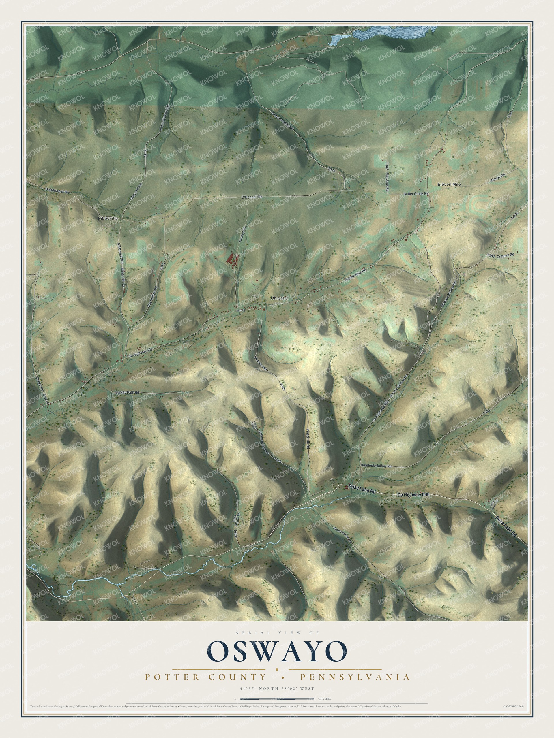
Created by KNOWOL in 2026, this map of Oswayo Township fits an office, a den or a camp wall. The hills are shaded from USGS elevation data, so the hollows show their real shape. The title panel reads "Aerial View of Oswayo, Potter County, Pennsylvania," with 41°57' North, 78°02' West and a one-mile scale bar.
It's a thoughtful gift for someone who grew up in Chrystal or Kibbeville, has family out on Butter Creek Road, or moved away and misses these hills. Open the preview, zoom in and find the road you know. Shop the Oswayo, Potter County, Pennsylvania map.