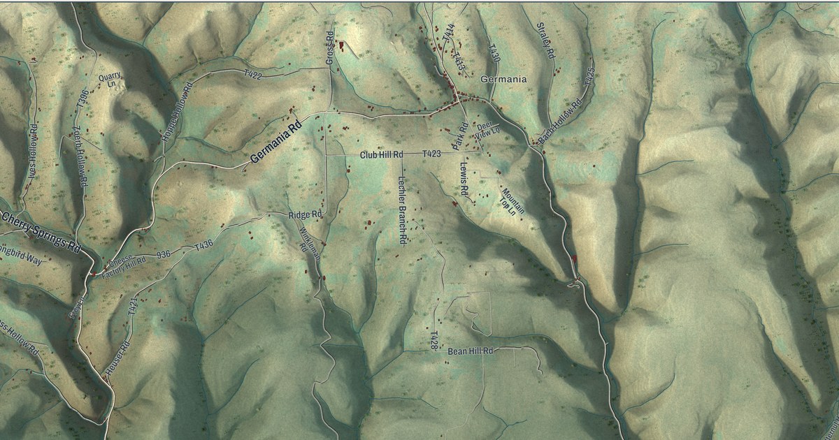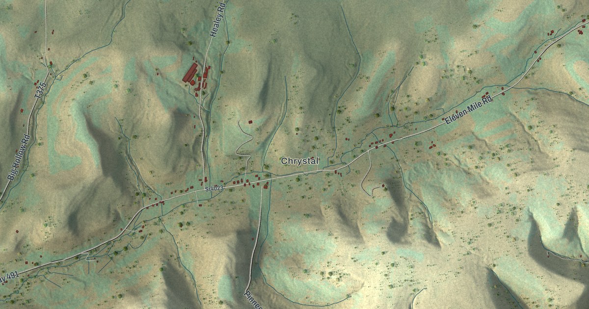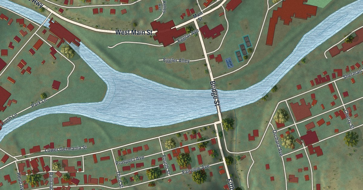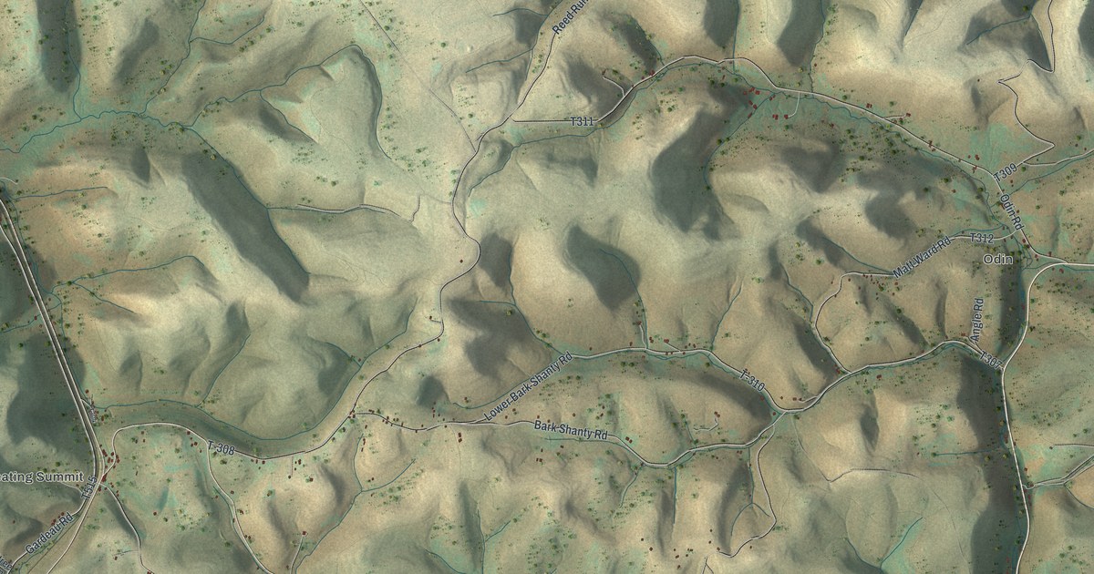
If you grew up along Bark Shanty Road, have family near Odin, or keep a camp in the hills around Keating Summit, this map has your part of Potter County on it. It's a modern aerial view of Keating Township in Potter County, Pennsylvania, made from modern data and given a vintage look. Shaded ridges fill the sheet, cut by deep hollows. Roads follow the valleys, and small buildings line them. Susquehannock State Forest is named in the top left, and Elk State Forest in the bottom left. Explore the print options for Keating, Potter County.
Keating Summit, Bark Shanty Road and Odin
Start at Keating Summit, on the left side of the map. Gardeau Road runs through it. Head south on Gardeau Road past Snowflake Drive and Mitcheltree Hollow Lane, toward the Elk State Forest label. Bush Hill Road also leaves Keating Summit and runs south to Cowley Hill Road near the bottom of the sheet. Ludwig Road and Ridge Road meet Cowley Hill Road down there too. Now go back to the middle of the map. Reed Run Road comes down from the top and meets Bark Shanty Road. Follow Bark Shanty Road east. Lower Bark Shanty Road, Gas Well Road and Matt Ward Road all branch off along the way. Odin Road runs east to Odin, on the right side of the sheet. From there, Mina Road climbs north to Elm Flat Road in the top right corner. Many roads are labeled and the buildings are marked, so zoom in on the preview and look for yours.
Keating Summit has had more than one name. The 1890 county history by J.H. Beers & Co. says the spot was once called Seven-mile hollow. A hunter's shanty stood there, and travelers stopped now and then. In 1856, Elijah S. Finchbaugh built a hotel there and sided it with shingles. People soon called the place Shingle House. Miles White started running the hotel in 1864 and kept it for ten years. After the hotel was built onto a few times, he changed the name to Forest House. That was also the name of the post office.
The first store in the township came with the railroad. The B., N.Y. & P.R.R. Co. opened it at Keating Summit while building its line through the west side of the township. The same history tells of a bad day in 1889. On April 24, the Yeomans sawmill caught fire at the Big Tressel, about three miles below Forest House toward Emporium. An engine got there in time to haul away eight cars of loaded lumber. Two more loaded cars burned. So did about 350,000 feet of sawed lumber and 2,000,000 feet of logs. The mill site isn't marked on the map, and Emporium is off the sheet. Look at the steep hollows around Keating Summit on the print, with state forest labels above it and below it.
For anyone from Keating Summit or Odin
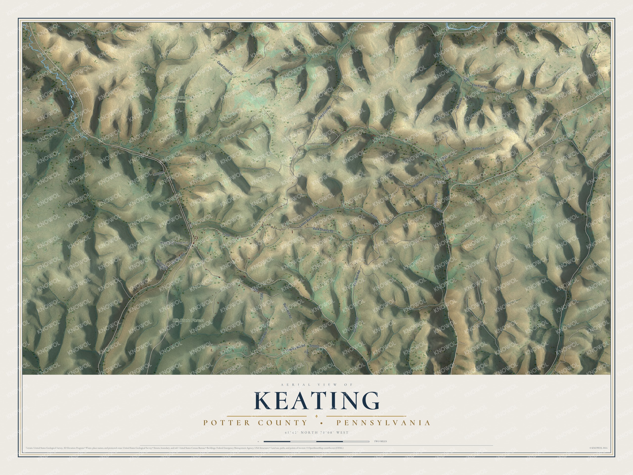
Created by KNOWOL in 2026, this Keating map shades the ridges and hollows using USGS elevation data, with the roads and buildings set on top. From across the room it looks like a sheet of folded hills. Up close, you can follow Bark Shanty Road from one valley to the next. The title panel reads "Aerial View of Keating, Potter County, Pennsylvania" with the coordinates 41°42' North, 78°08' West and a two-mile scale bar.
It suits a camp wall, a den or an office. It's a good gift for someone who grew up near Odin or Keating Summit and moved away, or for family who still lives along these roads. Open the preview and find the road you know. Shop the Keating, Potter County, Pennsylvania map.