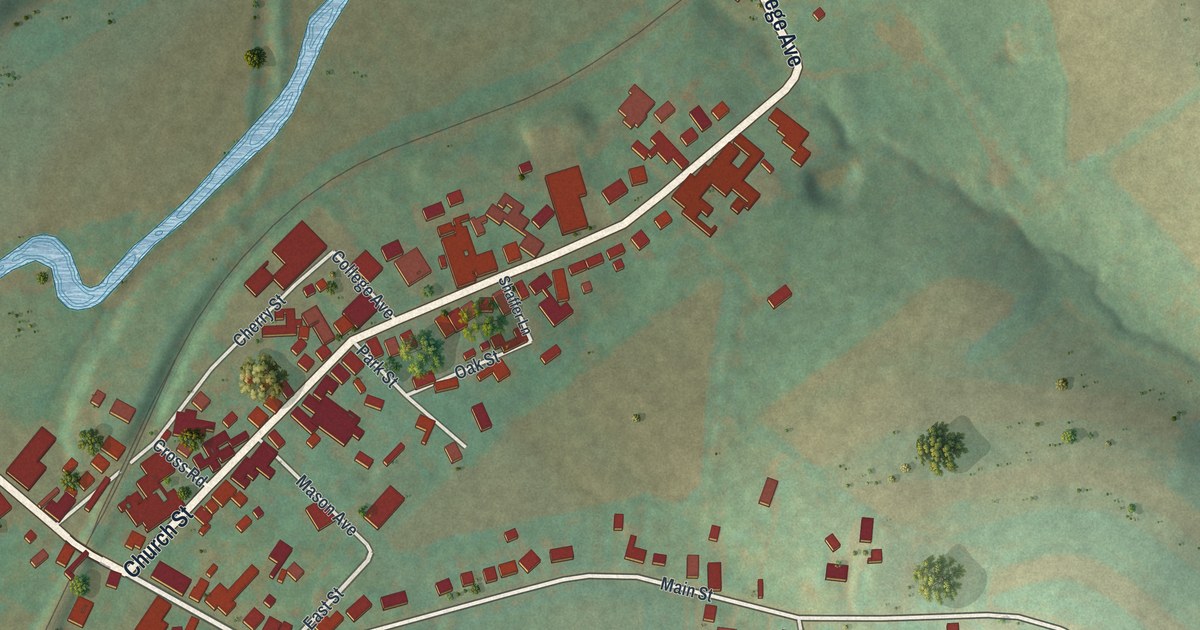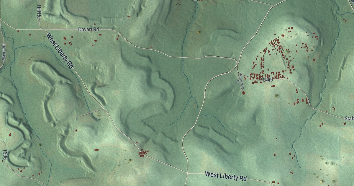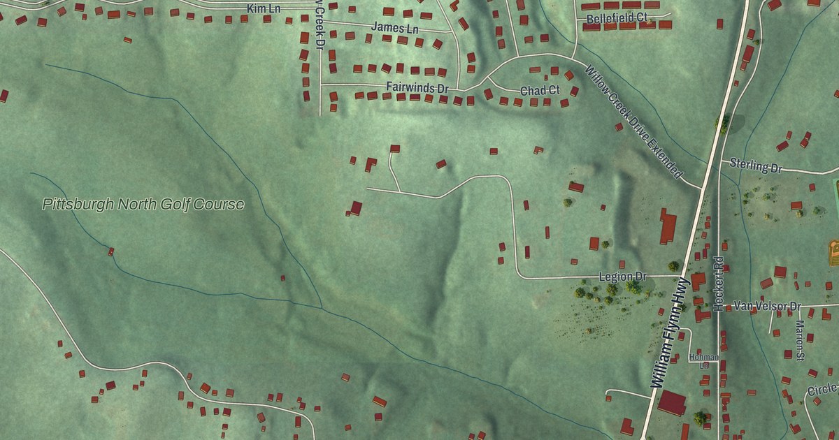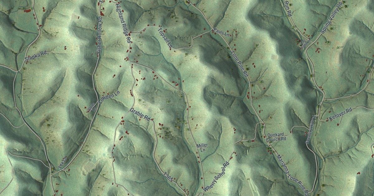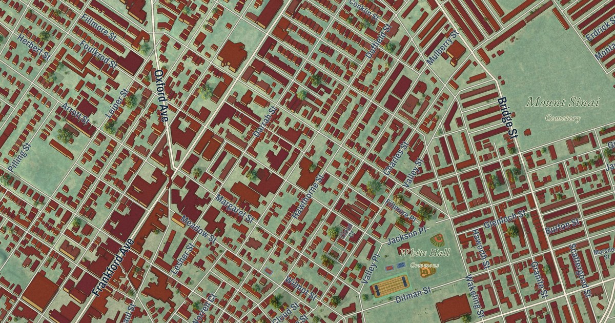
This beautifully detailed map of Frankford, Pennsylvania was created in 2026 using aerial imagery combined with modern topographical, census, street and landmark data. It’s a one-of-a-kind view of Frankford that combines accurate data with a vintage aesthetic. The map shows every building in its true location, many of the roads carry their names, and the shaded topographic relief shows the shape of the land.
Explore an aerial view of Frankford, Pennsylvania
On the map you’ll find Mount Sinai Cemetery, White Hall Commons, and Northwood, along with Harbison Avenue, Frankford Avenue, Torresdale Avenue, Aramingo Avenue, Castor Avenue, Bridge Street, Oxford Avenue, Tacony Street, Bustleton Avenue, and more. If you look closely you can even find your house accurately drawn in its correct location. Zoom in on the preview to look for yours.
Did You Know?
From Internet Archive: "The Cottmans have long been settled in the vicinity of Frankford, and tombstones in the Oxford Episcopal churchyard bear the name as far back as 1755."
Frankford is a place in Philadelphia County.
Take a closer look at the Frankford map
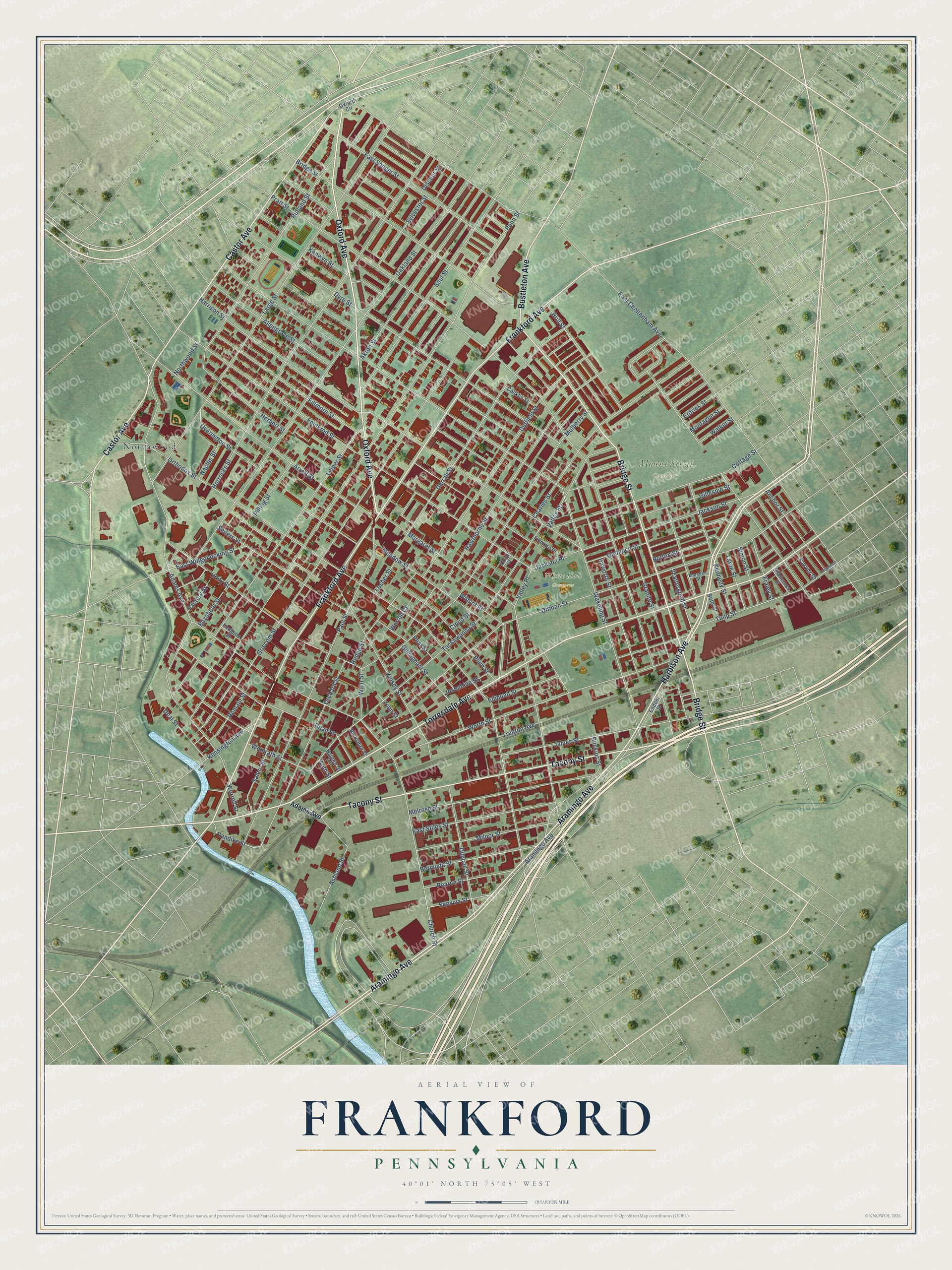
Names on this map
These names are printed on this map.
Places: Mount Sinai Cemetery, White Hall Commons and Northwood.
Streets and roads: Harbison Avenue, Frankford Avenue, Torresdale Avenue, Aramingo Avenue, Castor Avenue, Bridge Street, Oxford Avenue, Tacony Street, Bustleton Avenue, Adams Avenue, Pratt Street, Wakeling Street.
More street names, A to Z
Akron Street, Allengrove Street, Anchor Street, Arrott Street, Ashland Street, Auth Street, Berkshire Street, Bermuda Street, Betts Street, Briggs Street, Brill Street, Buckius Street, Burton Street, Carver Street, Charles Street, Church Street, Cloud Court, Cloud Street, Conklin Street, Cottage Street, Darrah Street, Deal Street, Discher Street, Ditman Street, Duffield Street, Duncan Street, Dyre Street, Eadom Street, East Cheltenham Avenue, East Sanger Street, East Stiles Street, East Wingohocking Street, Edmund Street, Elizabeth Street, Erdrick Street, Factory Street, Fillmore Place, Fillmore Street, Foulkrod Street, Fraley Street, Gillespie Street, Gillingham Street, Glenloch Street, Granite Street, Griscom Street, Harrison Street, Haworth Street, Hawthorne Street, Hedge Street, Hegerman Street, Herbert Street, Horrocks Street, Imogene Street, Jackson Place, Jackson Street, James Street, John Street, Josephine Street, Kennedy Street, Kensington Avenue, Kenwyn Street, Kinsey Street, Large Street, Larue Street, Leiper Street, Lesher Street, Margaret Street, Marsden Street, Meadow Street, Melrose Street, Milnor Street, Montague Street, Mulberry Street, Naples Street, Northwood Street, Oakland Street, Orchard Street, Orthodox Street, Overington Street, Oxford Circle, Paul Street, Pearce Street, Pear Street, Penn Street, Pilling Street, Plum Street, Romain Street, Ruan Street, Rutland Street, Salem Street, Saul Street, Scattergood Street, Sellers Street, Sepviva Street, Shallcross Street, Simon Street, Sylvester Street, Tackawanna Street, Trenton Avenue, Tulip Street, Unity Street, Valley Place, Valley Street, Vandike Street, Walker Street, Waln Street, Wilmot Street, Womrath Street, Worrell Court, Worrell Street, Worth Street.
See it on a wall
The Frankford map as a framed print. Swipe for more.


This beautifully detailed map of Frankford makes an attractive addition to your office, library, or den, and it can even be used to teach children the geography and history of the area. It also makes a great gift for anyone with Frankford roots. When you’re done exploring, click here to get your copy of the Frankford map.