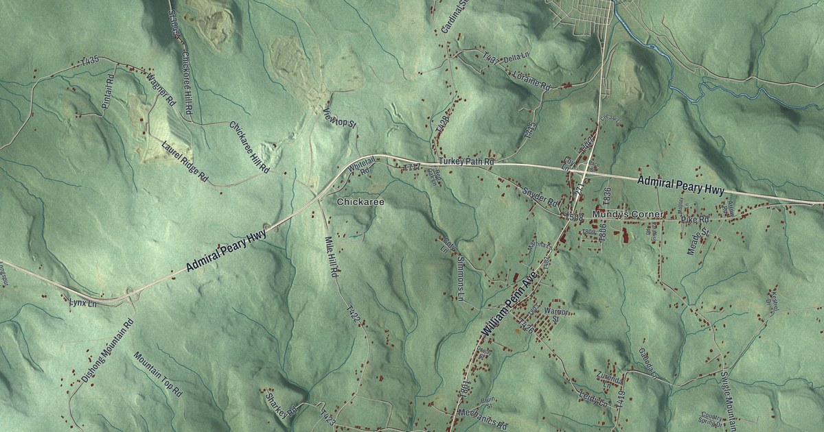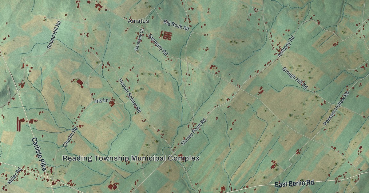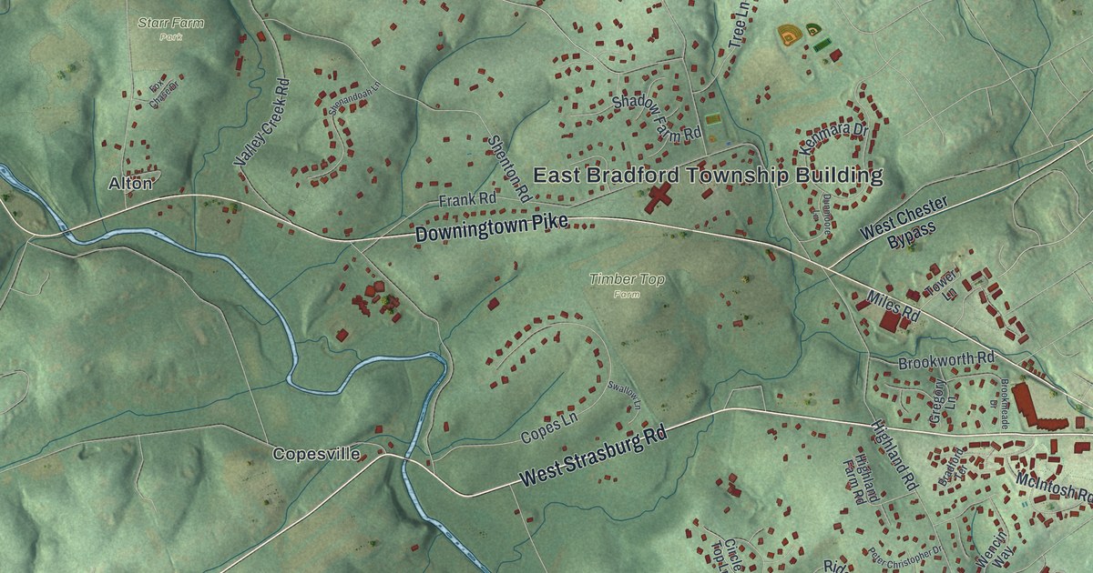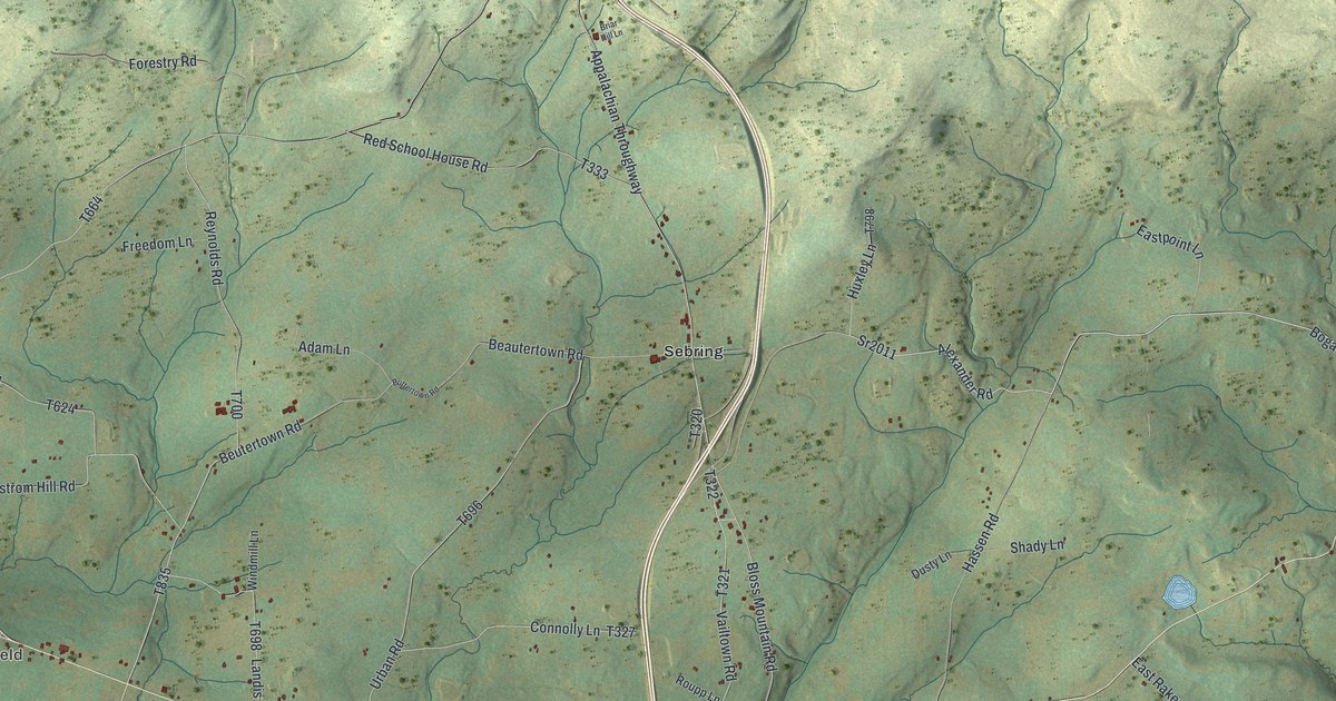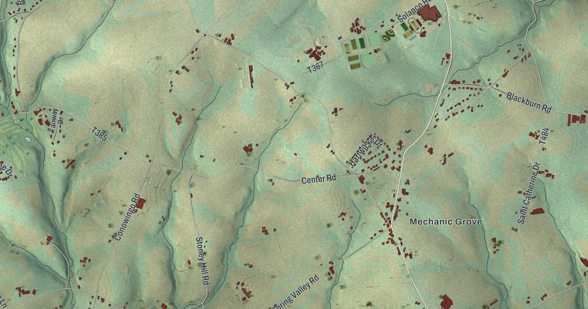
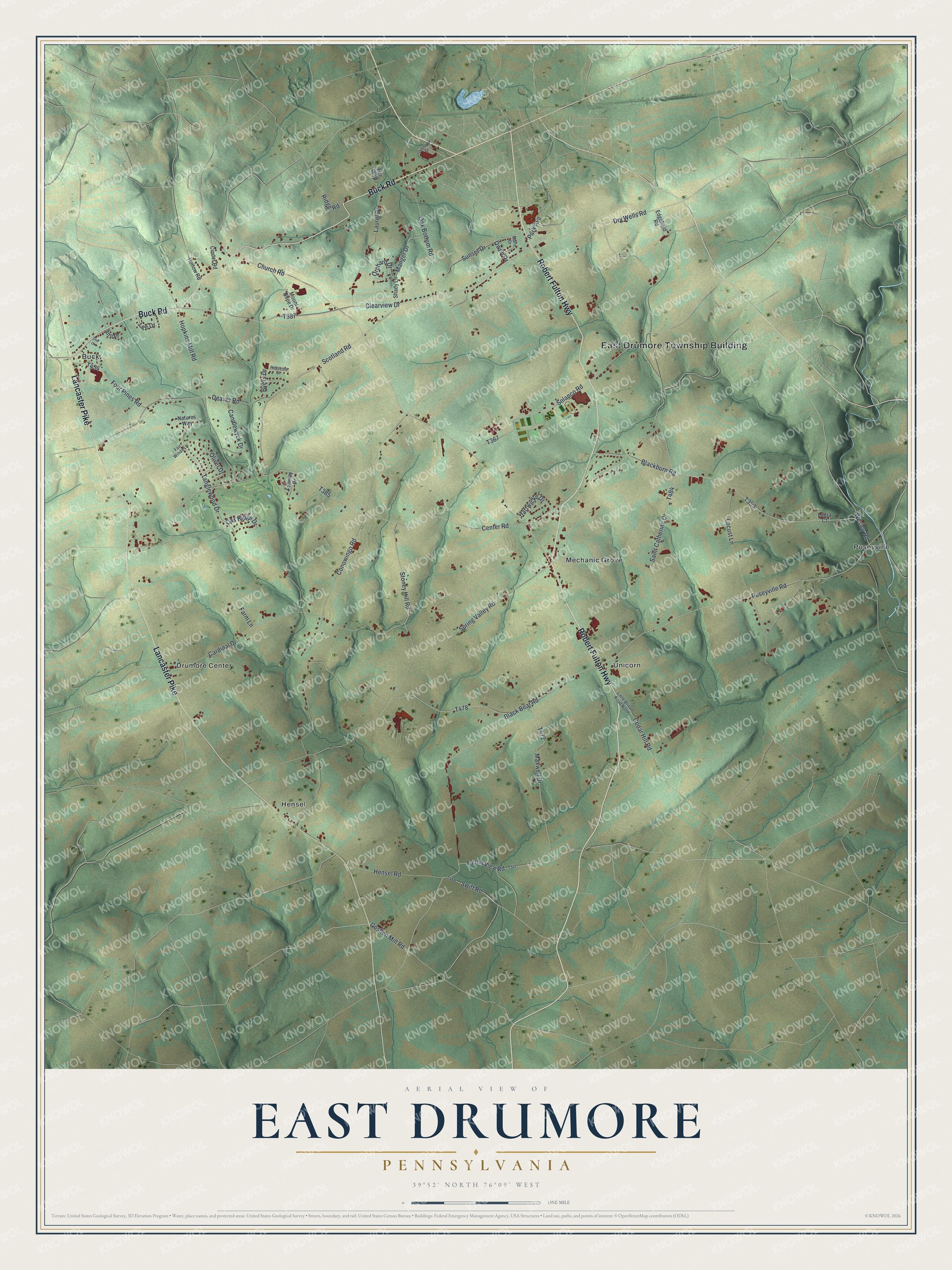
This beautifully detailed map of East Drumore, Pennsylvania was created in 2026 using aerial imagery combined with modern topographical, census, street and landmark data. It’s a one-of-a-kind view of East Drumore that combines accurate data with a vintage aesthetic. The map shows every building in its true location, many of the roads carry their names, and the shaded topographic relief shows the shape of the land.
Explore an aerial view of East Drumore, Pennsylvania
On the map you’ll find East Drumore Township Building, Buck, Drumore Center, Hensel, Mechanic Grove, Puseyville, and Unicorn, along with Robert Fulton Highway, Buck Road, Lancaster Pike, Puseyville Road, Tanglewood Drive, and more. If you look closely you can even find your house accurately drawn in its correct location. Zoom in on the preview to look for yours.
Did you know this piece of East Drumore, Pennsylvania history?
From LivingPlaces: "East Drumore Township was named after Dromore (Irish: Druim Moir) in County Down, now in Northern Ireland. It was established in 1729 as one of the original townships."
Take a closer look at the East Drumore map
Street and place names on the East Drumore, Pennsylvania map
These names are printed on the map of East Drumore, Pennsylvania.
Places: East Drumore Township Building, Buck, Drumore Center, Hensel, Mechanic Grove, Puseyville and Unicorn.
Streets and roads: Robert Fulton Highway, Buck Road, Lancaster Pike, Puseyville Road, Tanglewood Drive, Scotland Road, Black Bear Road, Blackburn Road, Manger Drive, Goshen Mill Road, Conowingo Road, Church Road.
More street names, A to Z
Ann Place, Byers Drive, Candlewyck Drive, Cardinal Drive, Cedar Hill Road, Center Road, Cinder Road, Clearview Drive, Deaver Road, Doe Lane, Dry Wells Road, Edgefield Road, Fairway Drive, Fair Winds Lane, Farm Lane, Fite Way, Four Pines Road, Fulton View Road, Hartwicke Drive, Hensel Road, Hollow Road, Hopkins Mill Road, Laura Court, Laurel Drive, Lee Drive, Little Britain Road North, Locust Lane, Marie Drive, Maxwell Drive, Mount Hope Drive, Natures Way, Oak Bottom Road, Oak Ridge Drive, Oliver Drive, Orchard Drive, Overlook Drive, Owen Drive, Park Avenue, Ridge Road, Ridgeview Drive, Saint Catherine Drive, Shady Lane, Solanco Road, Spring Valley Road, Stoney Hill Road, Sunset Drive, Swift Road, Wesley Road.
See the East Drumore, Pennsylvania map on a wall
The East Drumore map as an 18 x 24 inch print in a black frame.

This beautifully detailed map of East Drumore makes an attractive addition to your office, library, or den, and it can even be used to teach children the geography and history of the area. It also makes a great gift for anyone with East Drumore roots. When you’re done exploring, click here to get your copy of the East Drumore map.