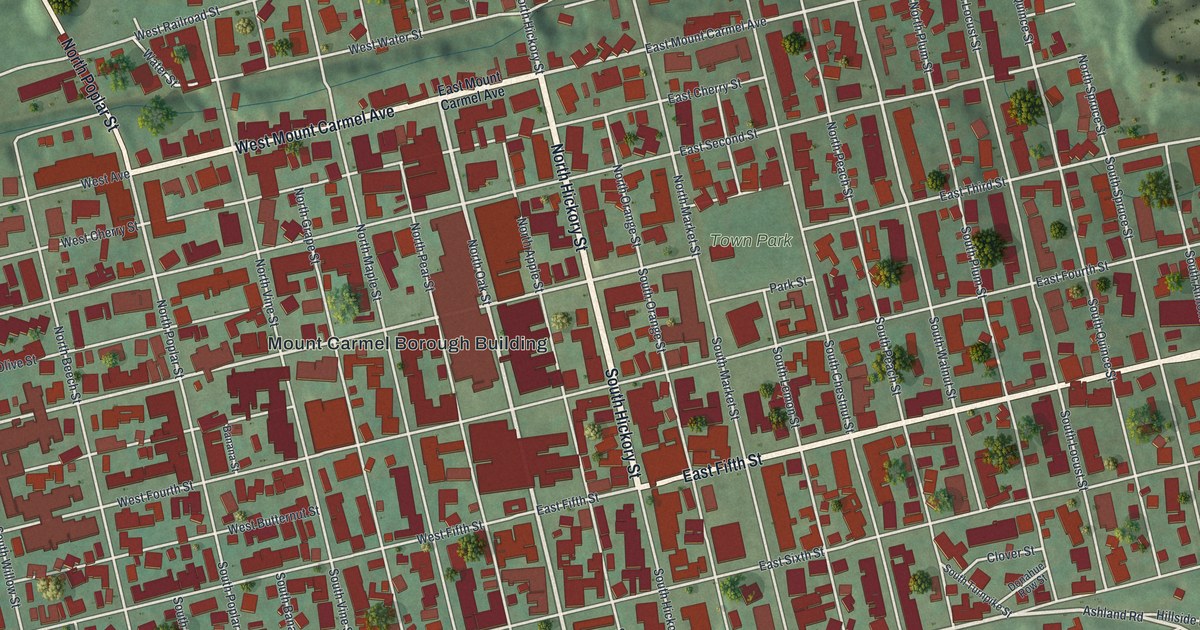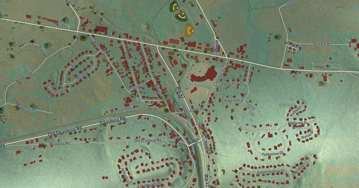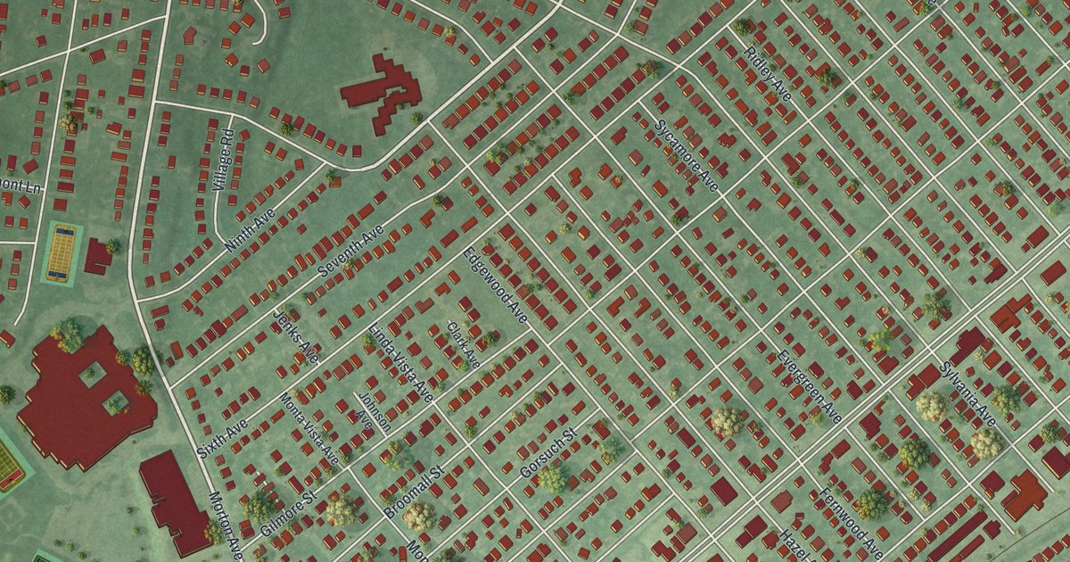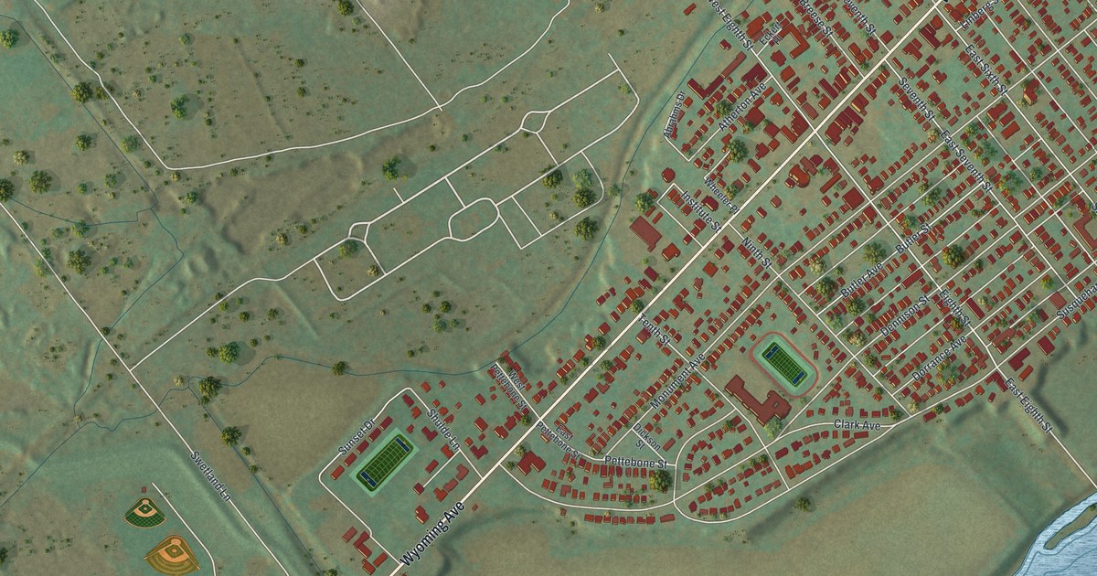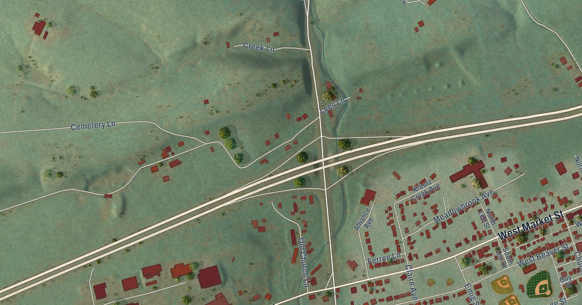
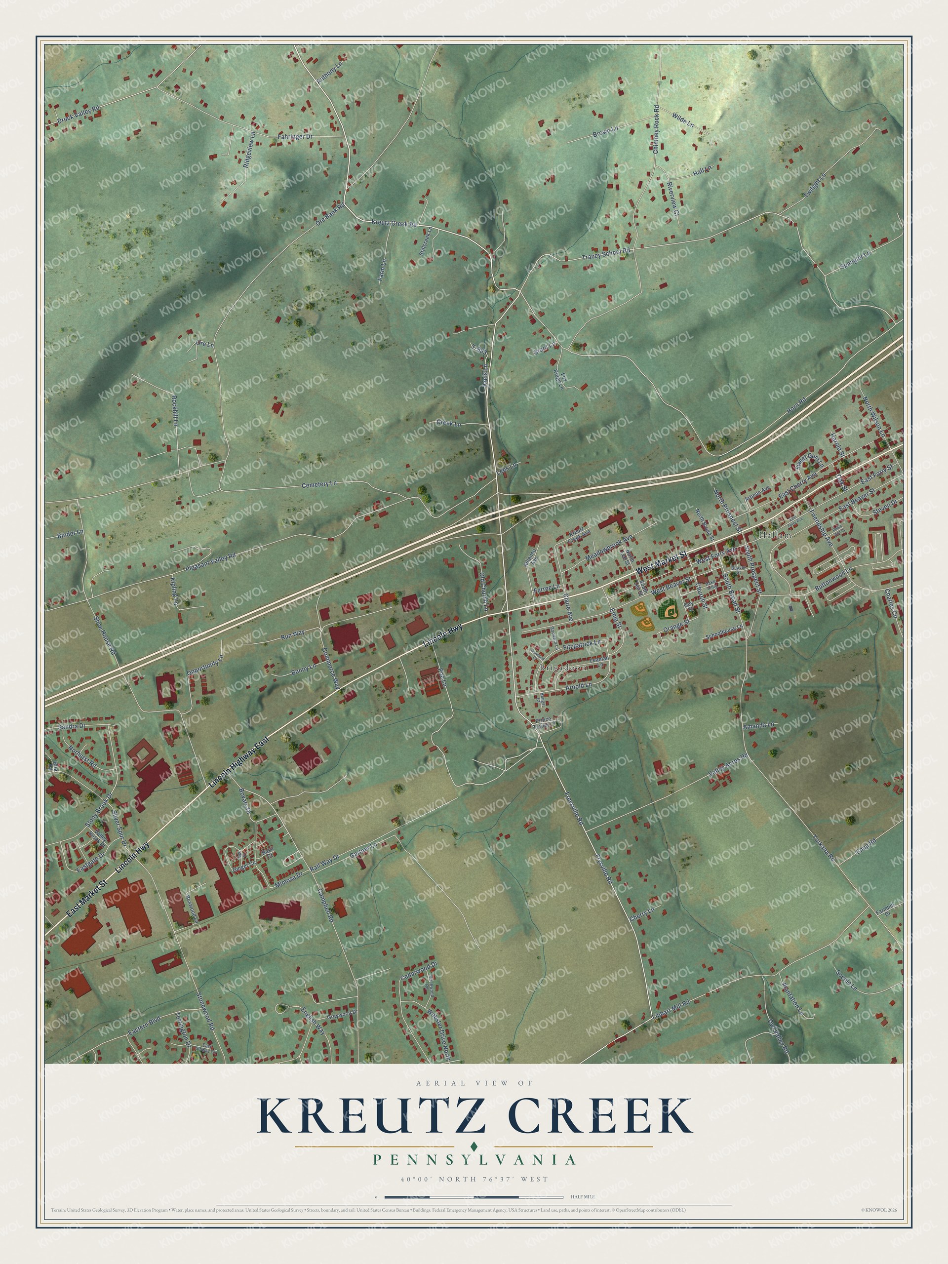
This beautifully detailed map of Kreutz Creek, Pennsylvania was created in 2026 using aerial imagery combined with modern topographical, census, street and landmark data. It’s a one-of-a-kind view of Kreutz Creek that combines accurate data with a vintage aesthetic. The map shows every building in its true location, many of the roads carry their names, and the shaded topographic relief shows the shape of the land.
Explore an aerial view of Kreutz Creek, Pennsylvania
On the map you’ll find Hallam and Brigadoon, along with West Market Street, East Market Street, Lincoln Highway, Lincoln Highway East, Kreutz Creek Road, Campbell Road, Freysville Road, Tracey School Road, Horn Road, South Broad Street, and more. If you look closely you can even find your house accurately drawn in its correct location. Zoom in on the preview to look for yours.
Did You Know?
From Internet Archive: "Valentine Kroh, and Martin Schultz.^^ Samuel Landis, the German shoemaker, had his shop on the Kreutz Creek.^^ This valley was also the home of the other Germans in that first settlement."
Kreutz Creek is a community in York County.
Take a closer look at the Kreutz Creek map
Names on this map
These names are printed on this map.
Places: Hallam and Brigadoon.
Streets and roads: West Market Street, East Market Street, Lincoln Highway, Lincoln Highway East, Kreutz Creek Road, Campbell Road, Freysville Road, Tracey School Road, Horn Road, South Broad Street, Ore Bank Road, Frysville Road.
More street names, A to Z
Alliance Avenue, Amanda Lane, Anthony Lane, Arnold Lane, Artman Avenue, Basil Court, Beaver Street, Binder Lane, Birchwood Road, Bovary Drive, Boxwood Lane, Brown Lane, Bunny Lane, Buttonwood Lane, Cedarwood Drive, Cemetery Lane, Charles Circle, Cherry Lane, Chimney Rock Road, Church Street, Claire Avenue, Commerce Way, Crawford Court, Creek Lane, Druck Valley Road, East Beaver Street, East Cherry Avenue, Eastern Boulevard, East Forry Avenue, East Forry Street, Eastgate Drive, East Sloway Circle, Emig Road, Emig Street, English Way, Fahringer Drive, Farmhill Drive, Farm Lane, Ferree Lane, Fitzpatrick Lane, Fox Ridge Lane, Friendship Avenue, Gartner Lane, Ginger Circle, Goodwin Lane, Grant Lane, Greywood Drive, Guy Street, Hake Alley, Hall Lane, Harold Street, Hengst Court, Kipling Lane, Kreis Lane, Kreutz Creek Avenue, Leaman Lane, Lees Lane, Libhart Mill Road, Meadowbrook Avenue, Mimosa Drive, Norhurst Road, North Broad Street, North Lee Street, North Prospect Street, North Wilson Lane, Oak Street, Old Church Lane, Opportunity Lane, Orange Street, Ore Lane, Owl Valley Road, Plantation Lane, Pleasant Valley Road, Poe Lane, Prince Trailer Court, Rail Way Drive, Ridgeview Lane, Rita Road, Riverview Court, Robin Ann Court, Rockhill Lane, Run Way, Sage Drive, Sandra Drive, Scenic Lane, Schoolhouse Lane, Shoe House Road, Silver Spur Drive, South Lee Street, South Prospect Street, Spangler Lane, Steven Drive, Stillcreek Lane, Stonewood Road, Stony Brook Drive, Sweet Gum Lane, T-953, Torrington Drive, Twilight Lane, Valley Acres Road, Valley Brook Drive, Webster Drive North, West Beaver Street, West Forry Avenue, Wilde Lane, Yorkana Road.
See it on a wall
The Kreutz Creek map as a framed print. Swipe for more.


This beautifully detailed map of Kreutz Creek makes an attractive addition to your office, library, or den, and it can even be used to teach children the geography and history of the area. It also makes a great gift for anyone who grew up in Kreutz Creek or moved away. When you’re done exploring, click here to get your copy of the Kreutz Creek map.