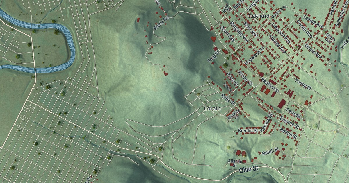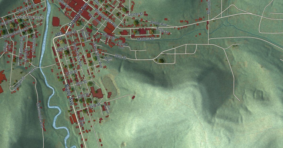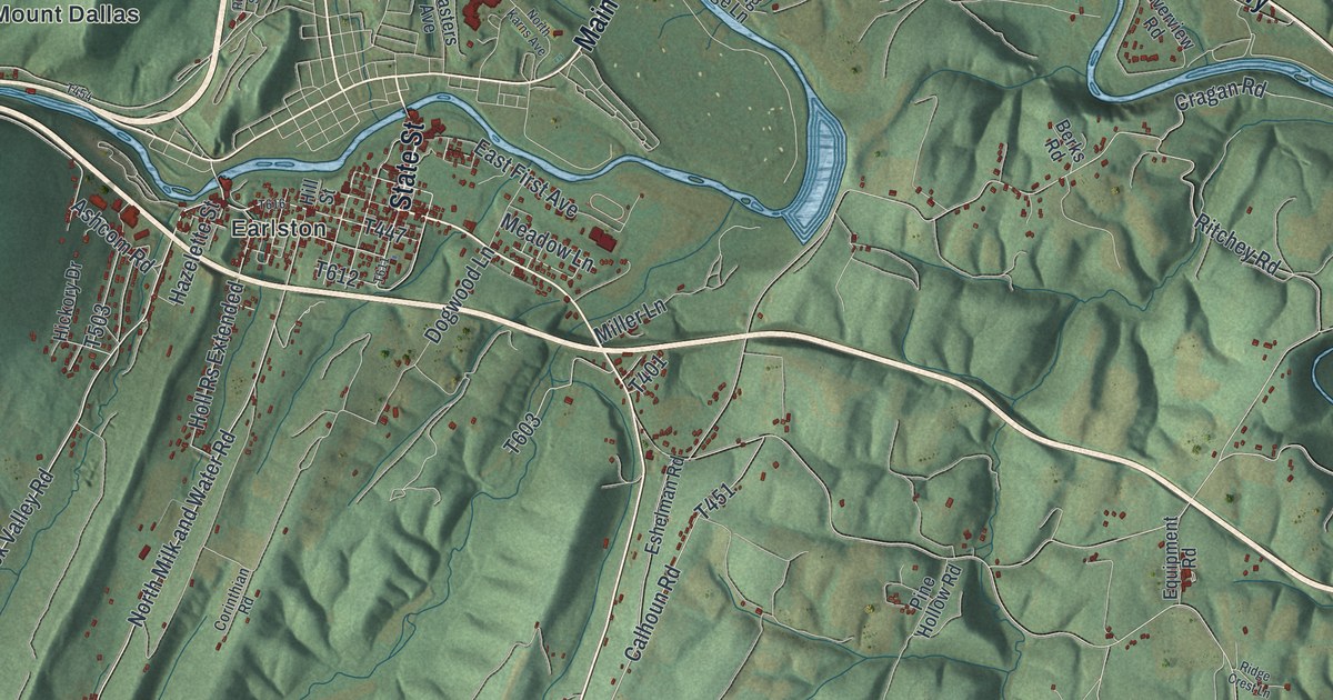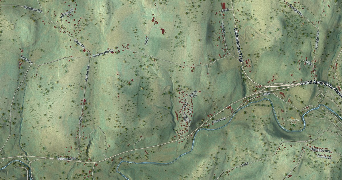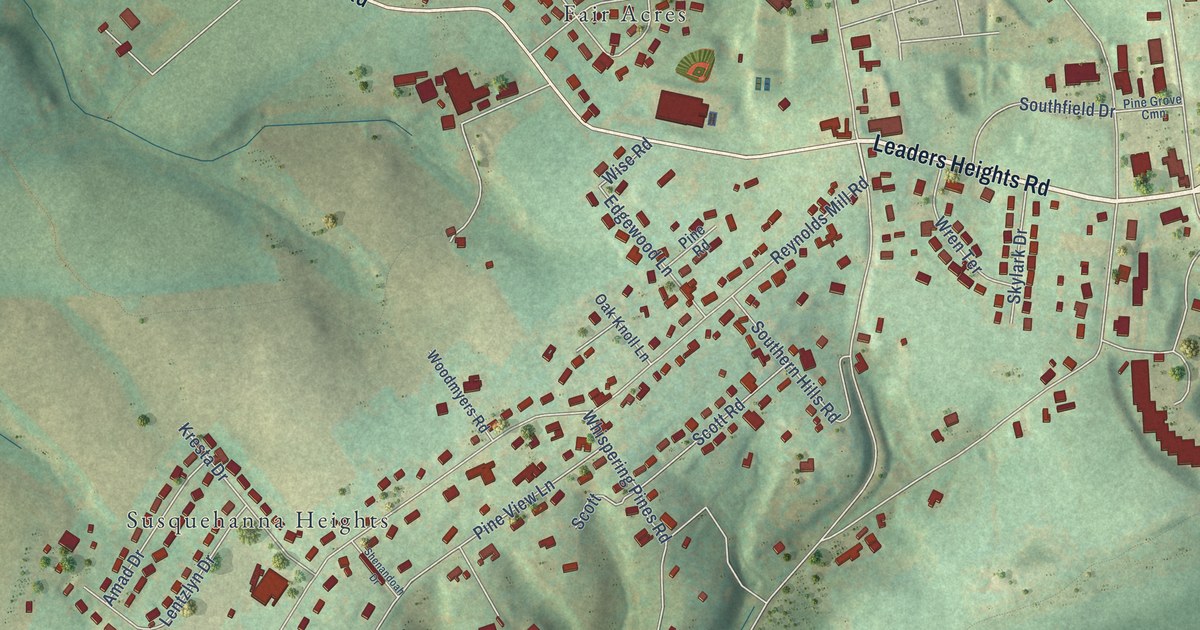
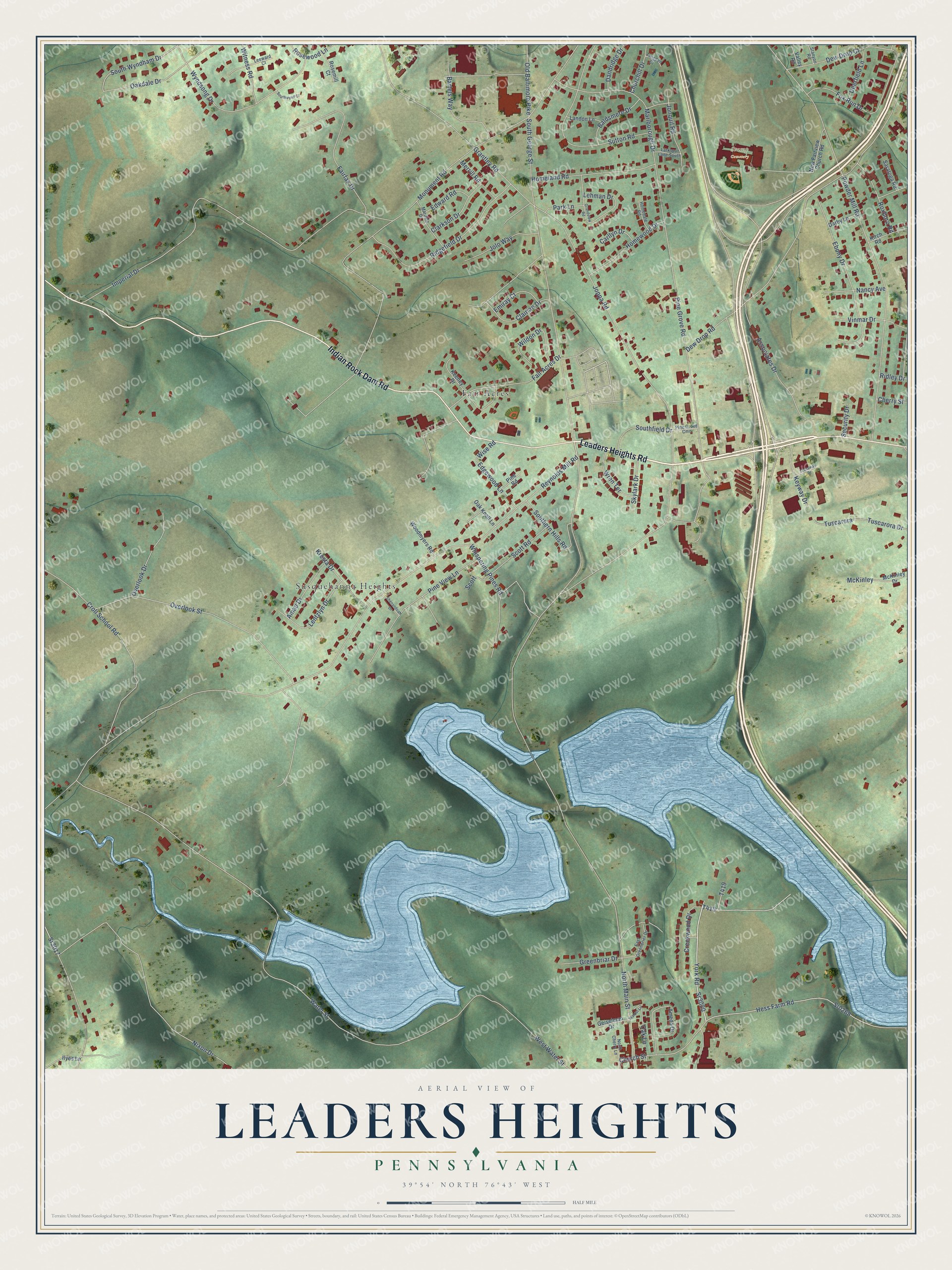
This beautifully detailed map of Leaders Heights, Pennsylvania was created in 2026 using aerial imagery combined with modern topographical, census, street and landmark data. It’s a one-of-a-kind view of Leaders Heights that combines accurate data with a vintage aesthetic. The map shows every building in its true location, many of the roads carry their names, and the shaded topographic relief shows the shape of the land.
Explore an aerial view of Leaders Heights, Pennsylvania
On the map you’ll find Stump Cemetery, Susquehanna Heights, and Fair Acres, along with Leaders Heights Road, Indian Rock Dam Road, York Road, South George Street, Reynolds Mill Road, Water Street, Joppa Road, Powder Mill Road, and more. If you look closely you can even find your house accurately drawn in its correct location. Zoom in on the preview to look for yours.
Take a closer look at the Leaders Heights map
Names on this map
These names are printed on this map.
Places: Stump Cemetery, Susquehanna Heights and Fair Acres.
Streets and roads: Leaders Heights Road, Indian Rock Dam Road, York Road, Sr3017, South George Street, Reynolds Mill Road, Water Street, Joppa Road, Powder Mill Road, Pine Grove Road, Imperial Drive, Monument Road.
More street names, A to Z
Amad Drive, Ameda Drive, Associates Drive, Baldsmere Drive, Bartels Way, Carllyn Drive, Cherry Street, Churchill Drive, Church Street, Clairian Drive, Clarkson Drive, Creekwood Drive, Croll School Road, Crossway Drive, Dandridge Drive, Darby Lane, Deerfield Lane, Dew Drop Court, Dew Drop Road, East Greenbrier Drive, Ebony Drive, Edgewood Lane, Edward Road, Emiray Court, Fair Acres Drive, Fairfax Drive, Fox Run Drive, Geiselman Drive, Grandview Road, Grantley Road, Greenbriar Drive, Hess Farm Road, Homedale Road, Homeland Road, Homewood Drive, Ilyes Lane, Jolo Way, Jonquil Road, Keeney Drive, Keyway Drive, Kirch Road, Kresta Drive, Landon Lane, Larkspur Lane South, Leeward Court, Lehman Drive, Lentzlyn Drive, Mardale Drive, Marlborough Drive, McKinley, McKinley Drive, Merrill Road, Nancy Avenue, New Fairview Church Road, Nixon Drive, North Cherry Lane, North Main Street, Oakdale Drive, Oak Knoll Lane, Oak Lane, Old Baltimore Pike, Overlook Drive, Overlook Street, Park Lane, Pine Grove Cmn, Pine Road, Pine View Lane, Ridgefield Drive, Ridley Drive, Rosemill Court, Rosewood Lane, Roxboro Road, Saratoga Road, Scott, Scott Road, Security Drive, Shenandoah Drive, Skylark Drive, Southern Hills Road, Southfield Drive, Southwynd Court, South Wyndham Drive, Sr0268, Sr3020, Stanyon Road, Sutton Road, Tuscarora, Tuscarora Drive, Twigden Court, Valley Road, Vinmar Drive, Walnut Lane, West Water Street, Whispering Pines Road, Wildon Drive, Wise Road, Witness Road, Woodmyers Road, Wren Terrace, Wyndsong Drive.
See it on a wall
The Leaders Heights map as a framed print. Swipe for more.


This beautifully detailed map of Leaders Heights makes an attractive addition to your office, library, or den, and it can even be used to teach children the geography and history of the area. It also makes a great gift for anyone who grew up in Leaders Heights or moved away. When you’re done exploring, click here to get your copy of the Leaders Heights map.