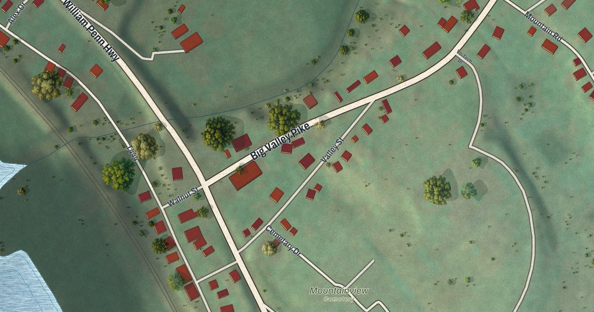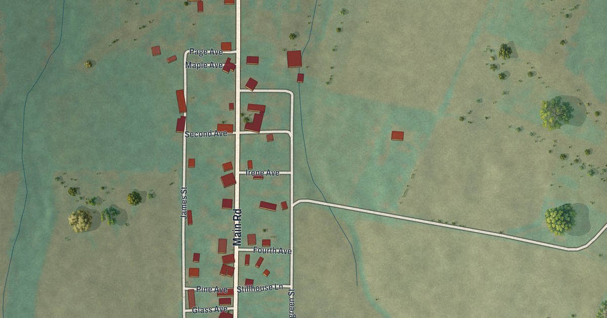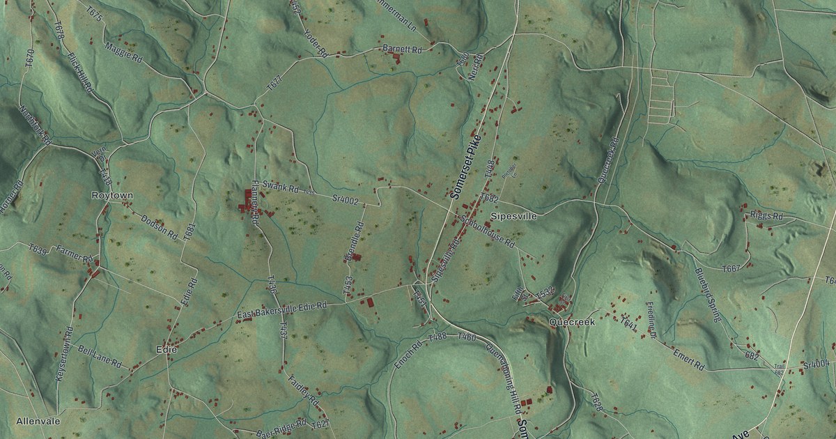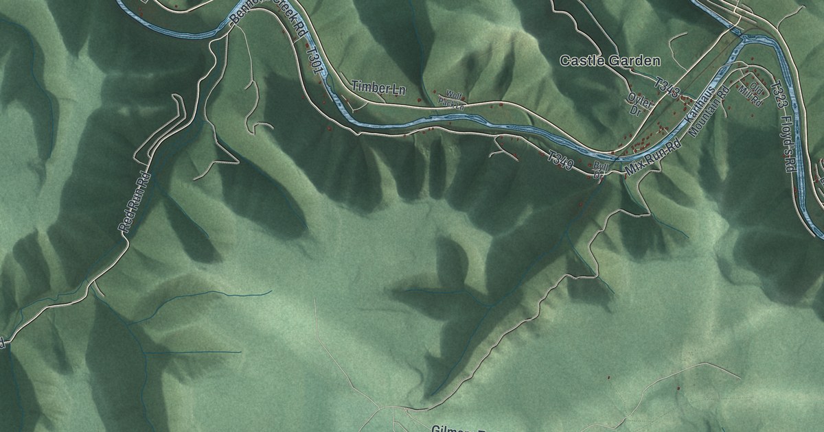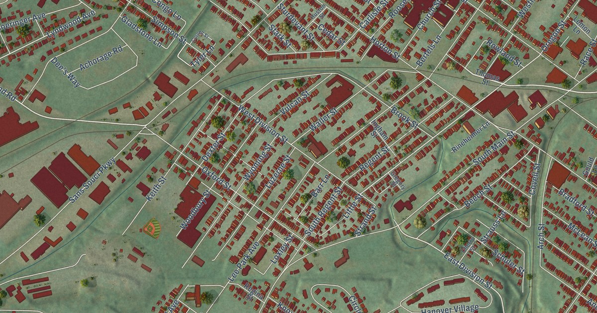
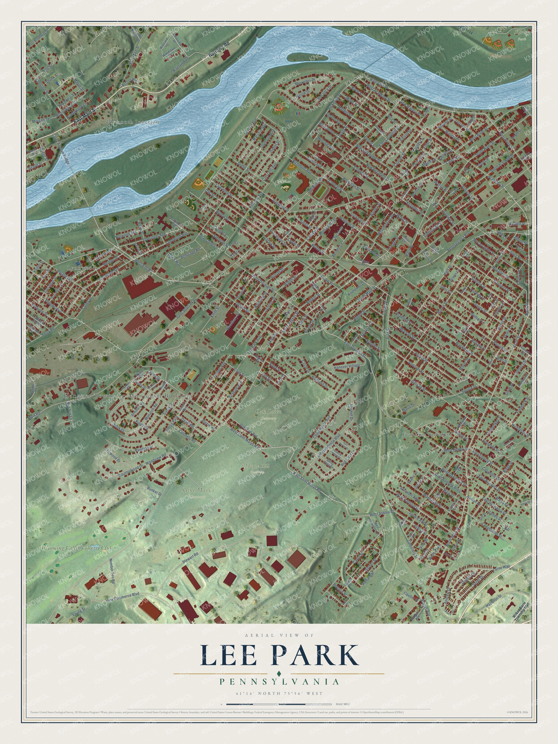
This beautifully detailed map of Lee Park, Pennsylvania was created in 2026 using aerial imagery combined with modern topographical, census, street and landmark data. It’s a one-of-a-kind view of Lee Park that combines accurate data with a vintage aesthetic. The map shows every building in its true location, many of the roads carry their names, and the shaded topographic relief shows the shape of the land.
Explore an aerial view of Lee Park, Pennsylvania
On the map you’ll find Hanover Township Municipal Building, Kirby Park, Maple Hill Cemetery, Oak Lawn Cemetery, Saint Mary’s Cemetery, Miner Park, Lynnwood, Plymouth Junction, Franklin Junction, and Wyoming Valley Country Club, along with Narrows Road, East Main Street, and more. If you look closely you can even find your house accurately drawn in its correct location. Zoom in on the preview to look for yours.
Did You Know?
From Internet Archive: "JN 1870 a race-course called Lee Park was made near the Wilkes-Barre line between the Middle Road and the River Road."
Lee Park is a community in Luzerne County.
Take a closer look at the Lee Park map
Names on this map
These names are printed on this map.
Places: Hanover Township Municipal Building, Kirby Park, Maple Hill Cemetery, Oak Lawn Cemetery, Saint Mary's Cemetery, Miner Park, Lynnwood, Plymouth Junction, Franklin Junction, Wyoming Valley Country Club and Inman Park.
Streets and roads: Narrows Road, East Main Street, Hazle Street, East Saint Marys Road, North Main Street, Cemetery Street, Auman Lane, Pennsylvania Boulevard, Riverside Drive, Andrew Drive, West End Road, East Division Street.
More street names, A to Z
Abbott Street, Academy Road, Academy Street, Achorage Road, Airy Street, Alexander Street, Alexie Road, Amherst Avenue, Anastasia Court, Andover Street, Anthracite Street, Arch Street, Ashley Street, Bank Street, Barnes Street, Barney Street, Barnum Place, Barr Lane, Beade Street, Beech Street, Beekman Street, Bell Lane, Bells Avenue, Bertels Lane, Betsy Ross Drive, Birch Street, Blackman Street, Boland Avenue, Boston Hill, Bradford Street, Breaker Road, Bridge Street, Brook Street, Brown Street, Bruce Lane, Bunker Drive, Buttonwood Lane, Buttonwood Street, Cardiff Lane, Carey Avenue, Carey Avenue Bridge, Carey Street, Carlisle Street, Catlin Avenue, Cedar Lane, Cedar Street, Charles Street, Cherry Street, Chestnut Street, Church Lane, Church Street, Circle Drive, Claymont Avenue, Clearview Drive, Colley Street, Collins Street, Colonels Road, Columbia Avenue, Congo Lane, Constitution Avenue, Conwell Street, Conyngham Street, Cork Lane, Corlear Street, Cornell Street, Coulter Street, Countrywood Drive, Covell Street, Crescent Avenue, Culvert Street, Cummiskey Street, Dagobert Street, Dana Street, David Road, Davis Place, Dee's Way, Delaney Street, Dexter Street, Diebel Street, Dill Street, Dodson Lane, Donald Court, Donato Drive, East Germania Street, East Lafayette Place, East Liberty Street, East Newport Street, East Poplar Street, Edison Street, Elder Street, Eleanor Street, Elizabeth Street, Elk Lane, Elma Drive, Essex Lane, Evans Lane, Farley Lane, Fellows Avenue, Ferry Road, First Street, Firwood Avenue, Firwood Drive, Fogel Lane, Forrest Street, Frederick Court, Frederick Street, Garber Street, Garfield Street, Garrahan Street, Gates Street, Gilligan Street, Gladstone Lane, Glen Street, Glynn Court, Goeringer Avenue, Gordon Avenue, Gould Lane, Graham Avenue, Grebe Street, Green Lane, Green Street, Gregory Street, Griffith Lane, Grove Street, Haldeman Street, Hannis Street, Hanover Street, Hanover Village, Harkins Lane, Hazleton Street, Highland Drive, High Street, Holland Street, Holly Lane, Horton Street, Hughes Street, Huston Street, Independence Boulevard, Ingham Street, Inman Avenue, Irving Street, James Street, Janet Drive, Joe Street, Jones Street, Keith Street, Kings Road, Kniffen Street, Knox Street, Larne Way, Lawrence Street, Lee Park Avenue, Lemon Lane, Leuder Street, Little Street, Lloyds Lane, Lockhart Street, Locust Street, Loomis Street, Loxley Street, Luzerne Street, Lyndwood Avenue, Lynwood Avenue, Maffett Street, Magnolia Street, Main Road, Mallery Place, Manhattan Street, Maple Lane, Maple Street, Marcy Court, Maria Drive, Marion Avenue, Marjorie Avenue, Mark Drive, Marlboro Avenue, Mary Street, Mayer Street, McCarragher Street, McLean Street, Melrose Avenue, Mercedes Drive, Miner Street, Monahan Court, Monarch Road, Monroe Street, Morgan Terrace, Moss Street, Moyallen Street, Musket Drive, Myrtle Avenue, New Alexander Street, New Commerce Boulevard, New Elizabeth Street, New Mallery Place, Nicholson Street, Nicole Drive, Norwood Avenue, Number Ten Road, Oaklawn Avenue, Oak Street, Old Ashley Road, Old River Road, Olive Lane, Olive Street, Orchard Street, Oregon Street, Oxford Street, Parrish Street, Patrick Henry Drive, Paul Revere Drive, Peach Lane, Penn Street, Pfouts Street, Phillips Street, Pickering Street, Pine Street, Planes Avenue, Plymouth Avenue, Plymouth Street, Poplar Street, Preston Street, Prospect Street, Pugh Street, Race Street, Red Coat Lane, Red Fox Lane, Regent Street, Regina Street, Reliance Drive, Richard Street, Richmont Avenue, Ridge Street, Rineheimer Lane, Rita Street, Riverview Drive, Rodgers Avenue, Roosevelt Terrace, Ross Street, Rowe Street, Rowland Street, Ruddle Street, Sambourne Street, Sans Souci Parkway, School Lane, Schrader Alley, Schuler Street, Scureman Street, Seminary Road, Seneca Street, Shawnee Street, Sheldon Street, Shonk Street, Simpson Street, Sively Street, Smith Court, Smith Street, Solomon Street, South Franklin Street, South Main Street, South Nesbitt Street, South Regent Street, South River Street, Spring Street, Spruce Alley, Spruce Street, Stanley Street, Stanton Street, Stark Street, Sterling Avenue, Stewart Road, Strand Street, Strauss Lane, Sturdevant Street, Sullivan Street, Taft Street, Tamara Hill, Terrace Street, Thayer Street, Thomas Street, Tyler Lane, Vanessa Drive, Van Horn Street, Vine Street, Vulcan Street, Waller Street, Wall Street, Walnut Street, Waverly Place, Welles Avenue, West Academy Street, West Ashley Street, West Aumans Alley, West Broadway Street, West Cemetery Street, West Division Street, West Germania Street, West Hartford Street, West Liberty Street, Westminster Street, West River Street, West Ross Street, West Saint Marys Road, West South Street, Whalen Court, Wilkes Barre Street, Wilkes Barre Township Boulevard, Willow Street, Woodbury Street, Woodlawn Terrace, Wood Street, Woodview Road, Wooland Terrace, Wright Street, Wyoming Street, Young Street.
See it on a wall
The Lee Park map as a framed print. Swipe for more.


This beautifully detailed map of Lee Park makes an attractive addition to your office, library, or den, and it can even be used to teach children the geography and history of the area. It also makes a great gift for anyone with Lee Park roots. When you’re done exploring, click here to get your copy of the Lee Park map.